Essex County
Fog
NYSDEC’s Management Fiasco in the High Peaks Wilderness Area – – The Adirondack Almanack
A very strange thing happened this fall in the High Peaks Wilderness Area. The Department of Environmental Conservation (DEC) worked for weeks in 2021 with heavy machinery to rebuild an old logging road in the Dudley Brook area of the MacIntyre East section of the High Peaks Wilderness. This is the same area where the DEC had worked for months in 2019 and 2020 to tear apart old logging roads. However, the DEC says they’re not rebuilding the road; they say they’re simply correcting a massive mistake that somehow its leaders in Albany had failed to notice for the last two years.
This is one of the strangest things I’ve seen in Forest Preserve management at the DEC in the last two decades.
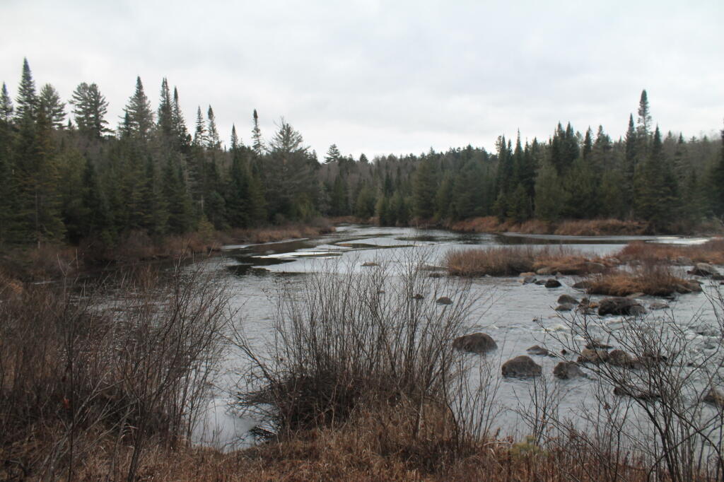
In 2019, DEC approved a work plan to do something new and different. The DEC set out in 2019 and 2020 to expedite ecological restoration and reclaim a series of old logging roads in newly purchased and newly classified lands in the MacIntyre East section of the High Peaks Wilderness. These lands are on the south side of the Opalescent River, include the southwestern flanks of Allen Mountain, and are bordered by conservation easement lands and a Primitive Corridor logging road. Since DEC work plans are not published, and since this is a trailless section of the High Peaks Wilderness where public access is difficult, involving a deep ford of the Opalescent River, we did not learn about this work right away. We had heard about similar road reclamation work in the Boreas Ponds area, but public access to that area has been limited and restricted in recent months.
There are many old logging roads in Wilderness Areas, such as the Burn Road in the William C. Whitney Area, among many others, that see slow change over the decades as the forest steadily, but incrementally, eats away at them and reclaims these roadways. Many of these old roads retain old culverts and human geometric forms from benchcuts, banking, grading, and borrow pits, among other road construction features, for decades. In the MacIntyre East and Boreas Ponds areas, DEC organized work crews in 2019 and 2020 to tear apart these road corridors, and build a series of pits and mounds (see below) that mimic the natural forest, with the objective of changing the long linear geometry of these road corridors and expediting forest reclamation. (Click here for pictures of abandoned roadways where pits and mounds were built to restore the road corridor.) This work covered nearly 20 miles total of abandoned roads.
Boreas River
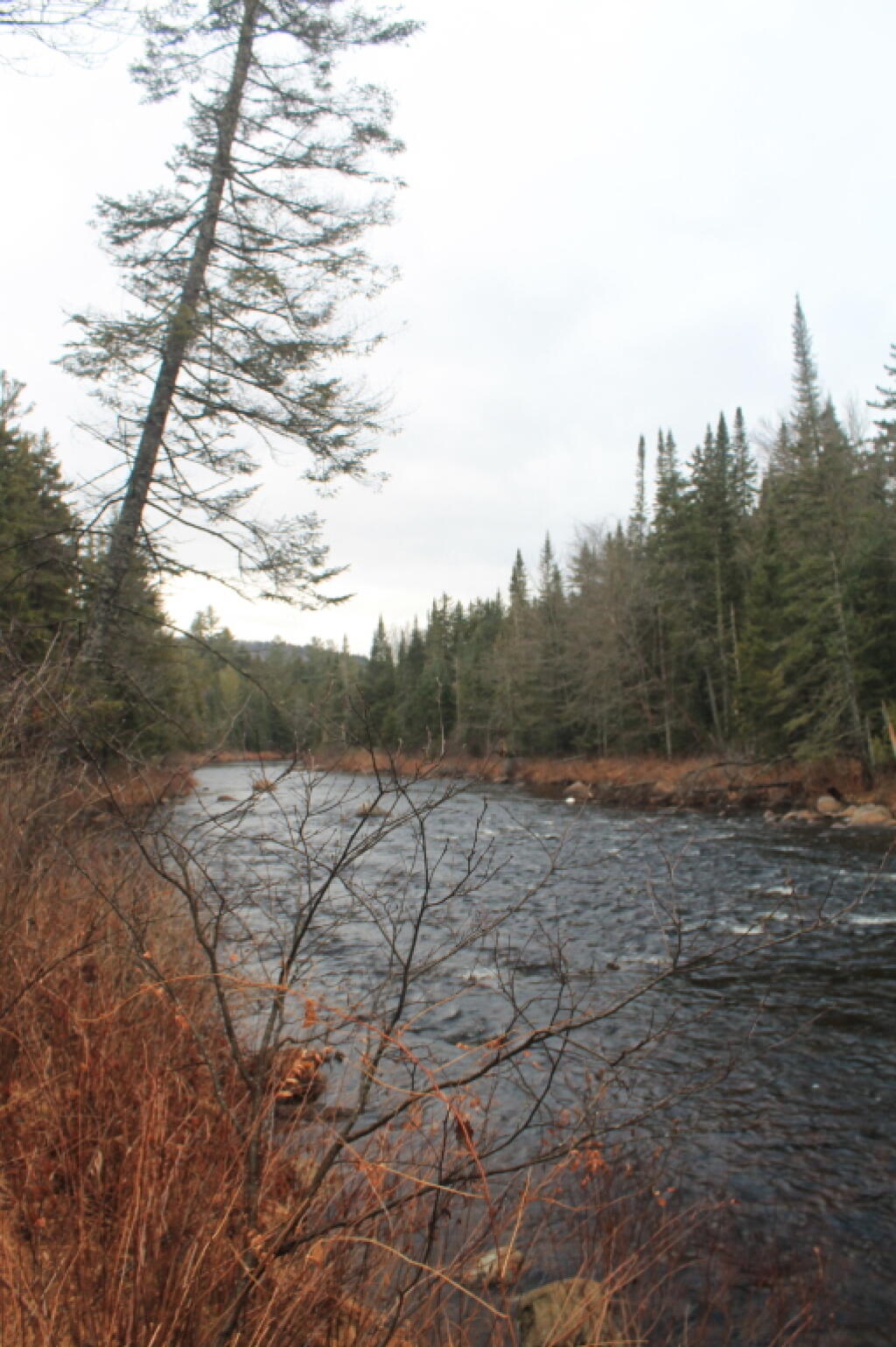
The Boreas River along the Hewitt Eddy trail is wide and relatively shallow, as it winds away from NY 28N, near Vanderwhacker Road aka Moose Club Way.
Taken on Wednesday December 5, 2012 at Hewitt Eddy Trail.Fog
Fort Ticonderoga
Fort Ticonderoga, formerly Fort Carillon, is a large 18th-century star fort built by the French at a narrows near the south end of Lake Champlain, in northern New York, in the United States.


