Devil’s Path
Patterns
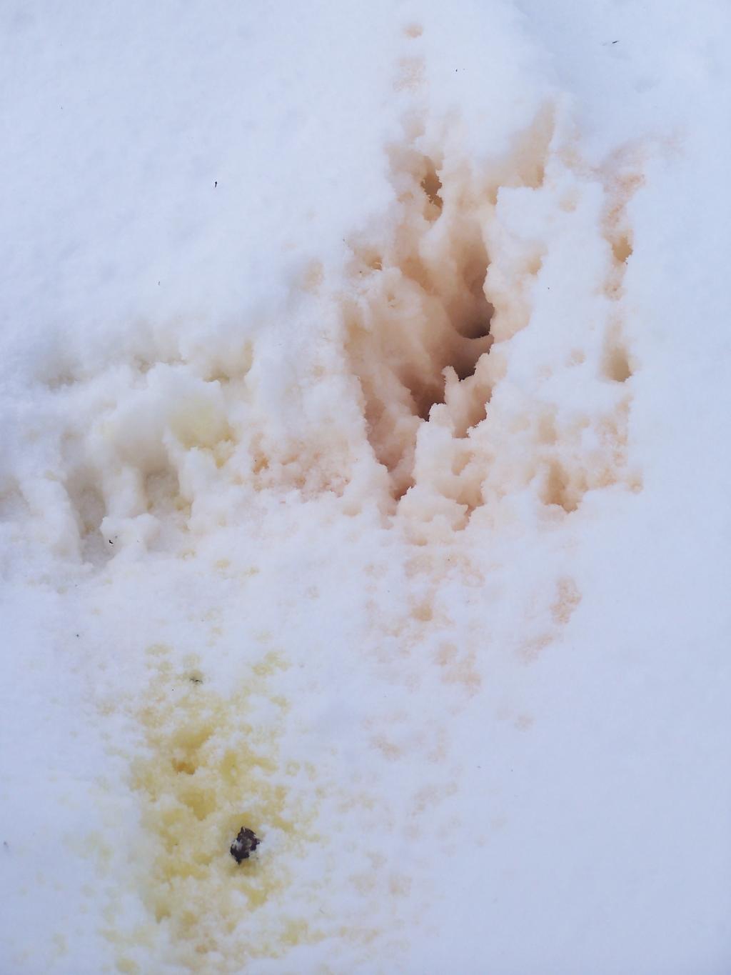
I noticed this near the lean-to. You can figure out what it is from, but I liked the reds against the yellow.
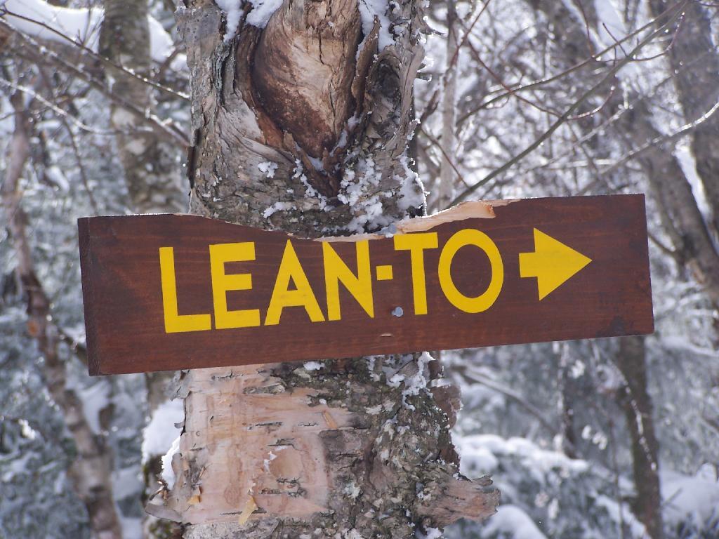
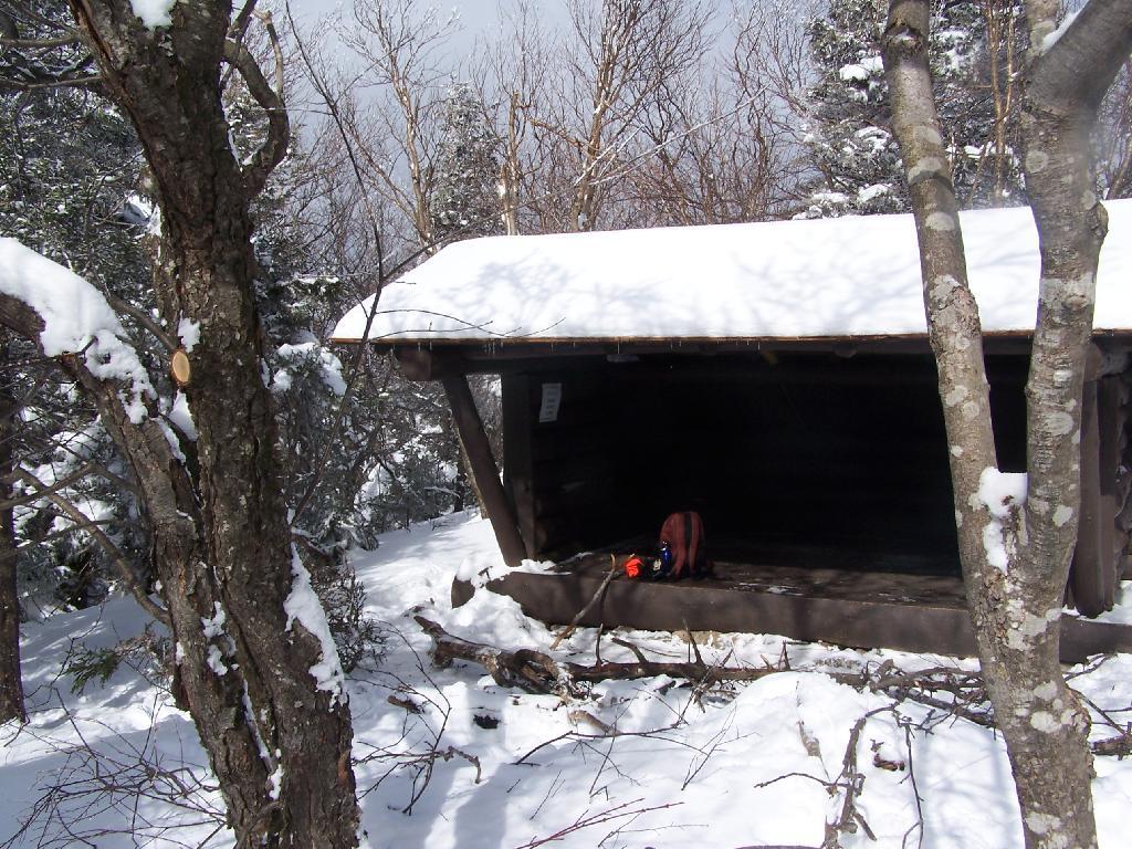
Taken on Sunday February 21, 2010 at Hunter Mountain.John Robb Leanto
Spring
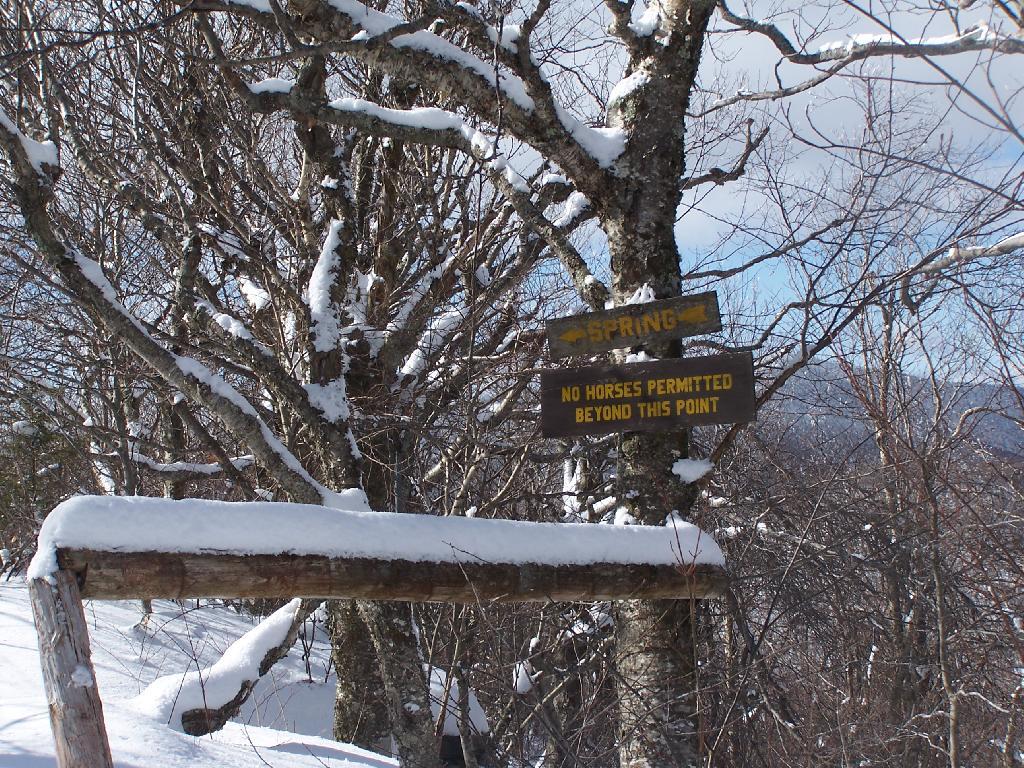
This spring on the trail is near the John Robb lean-to. They don't horses drinking out of the spring, or actually you know what they don't want horses doing near the spring.
Taken on Sunday February 21, 2010 at Hunter Mountain.Looking Down a Steeper Trail
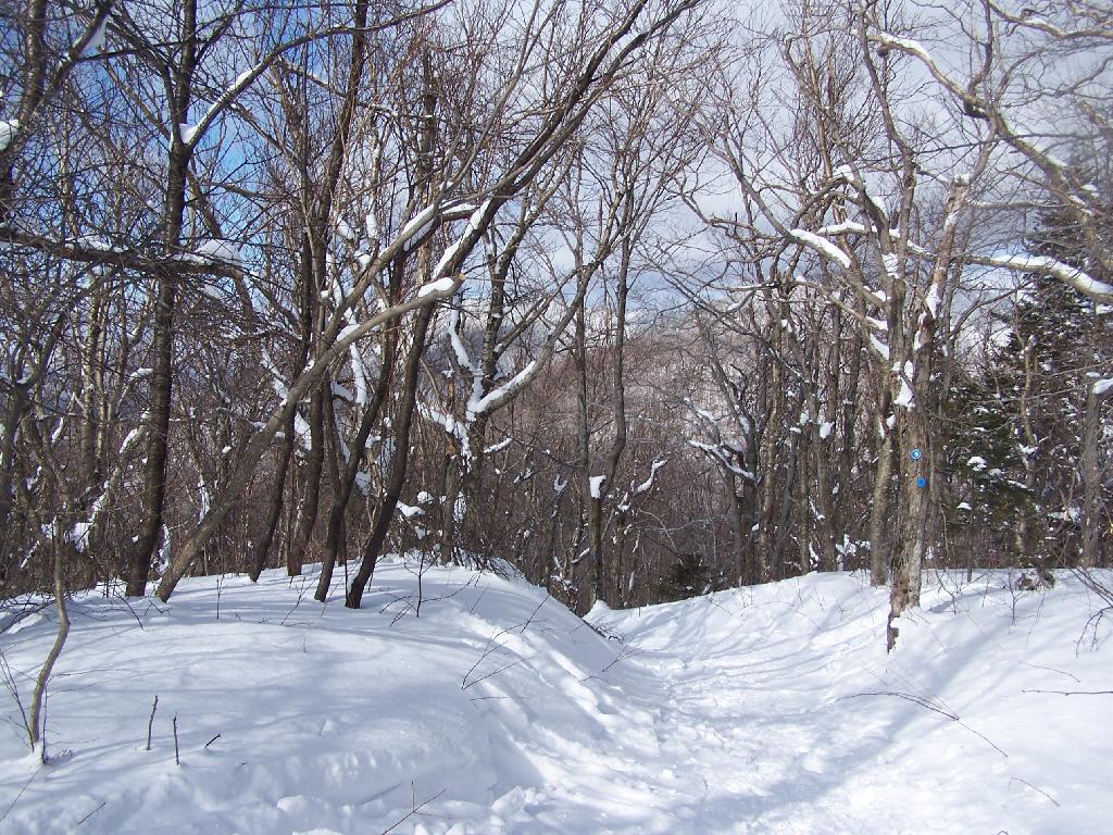
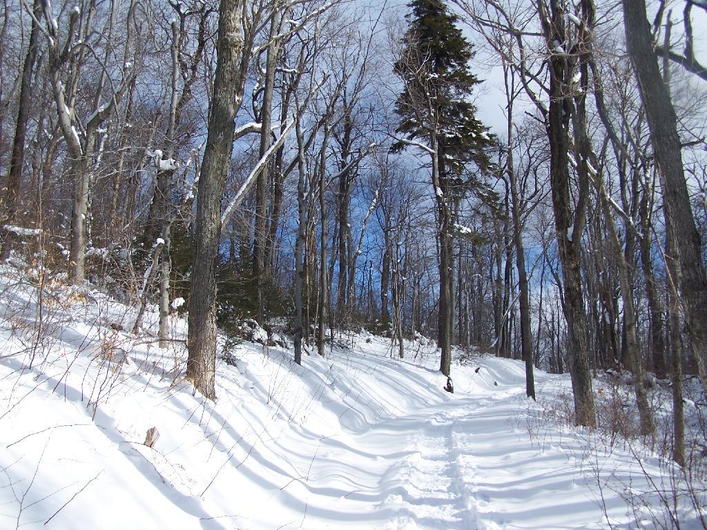
After passing the saddle between Rusk and Hunter, the trail narrows and follows a series of switchbacks. It's not very steep for mountain trails at 15%, and easily ski-able, but it certainly gains 500 feet in elevation relatively quickly over the next 6/10 mile to John Robb Leanto.
Taken on Sunday February 21, 2010 at Hunter Mountain.Reaching the Saddle Between Rusk and Hunter
Saddle is such an appropriate word for a horse trail. That said, the intense sunlight was giving me a bad case of sun blindless. I should have brought sunglasses.
Taken on Sunday February 21, 2010 at Hunter Mountain.