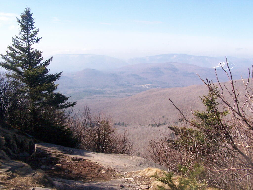
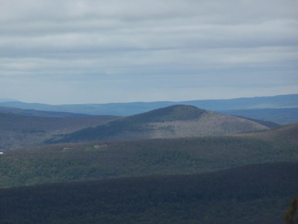
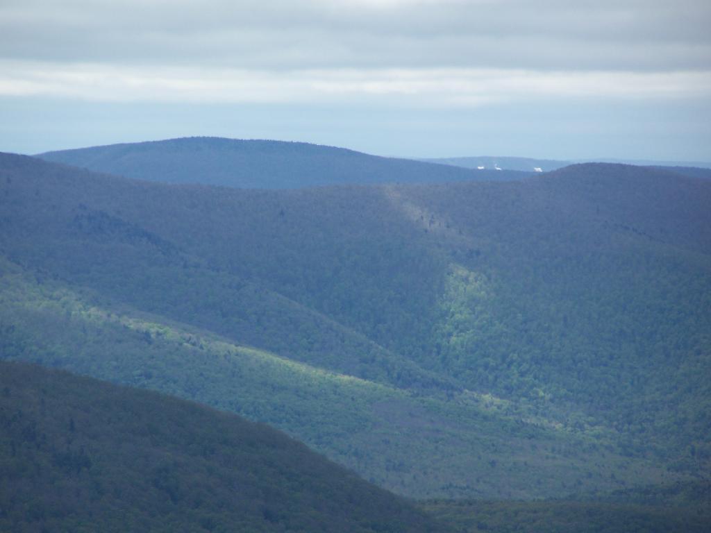
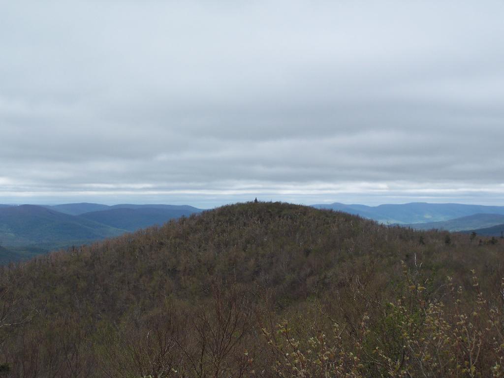
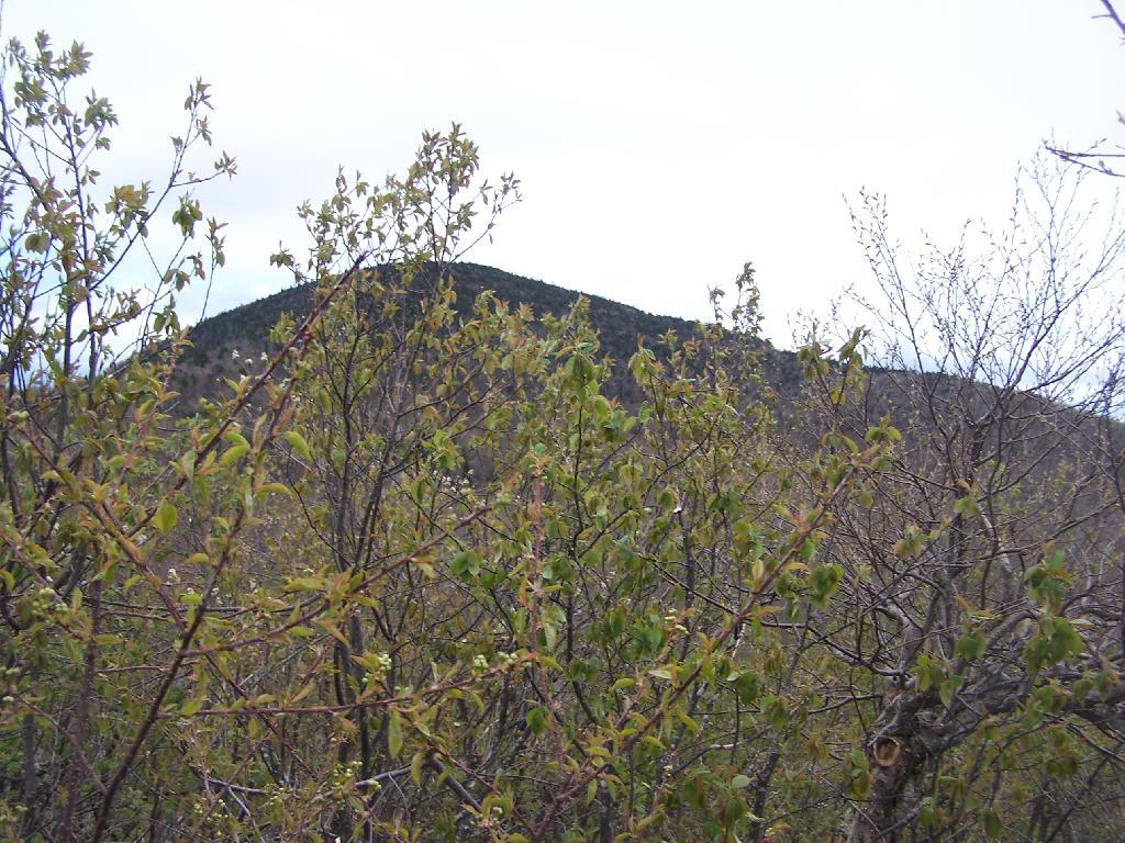
Blackhead Mountain
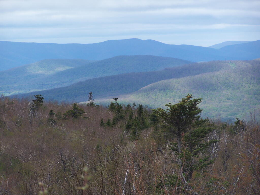
Mount Hayden
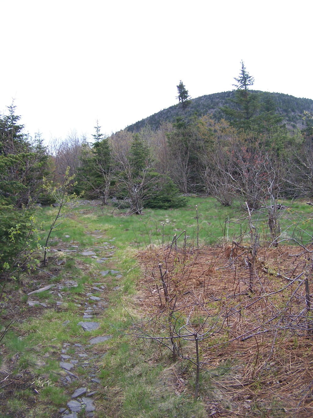
Rusk Mountain with Bell Ayre in Background
Camel’s Hump
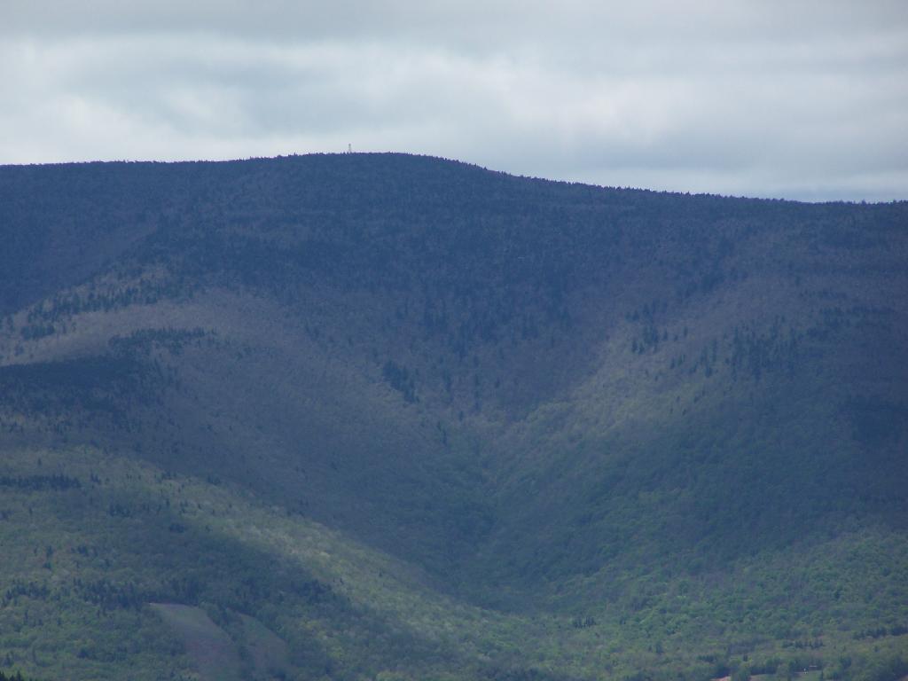
Thomas Cole Mountain
Two weekends ago I went out hiking on a portion of the Blackhead Range, known for it’s Rooster Comb that it visible from most of the Catskills and Albany. Heading down there, I missed the turn-off to Barnum Road, which is a side road marked with a “Forest Preserve Access” sign from County Route 40, just as you head south out of Maplecrest.
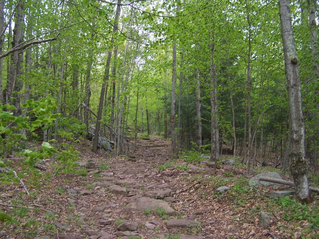
The first part of the trail follows the right of way of the Old Barnum Road, until you access the Blackhead mountain Wilderness, and the kiosk welcoming you to the trail.
The trail up the mountain starts out gentle, then follows a series of switchbacks.
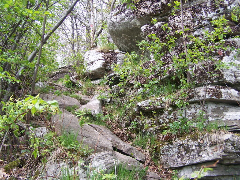
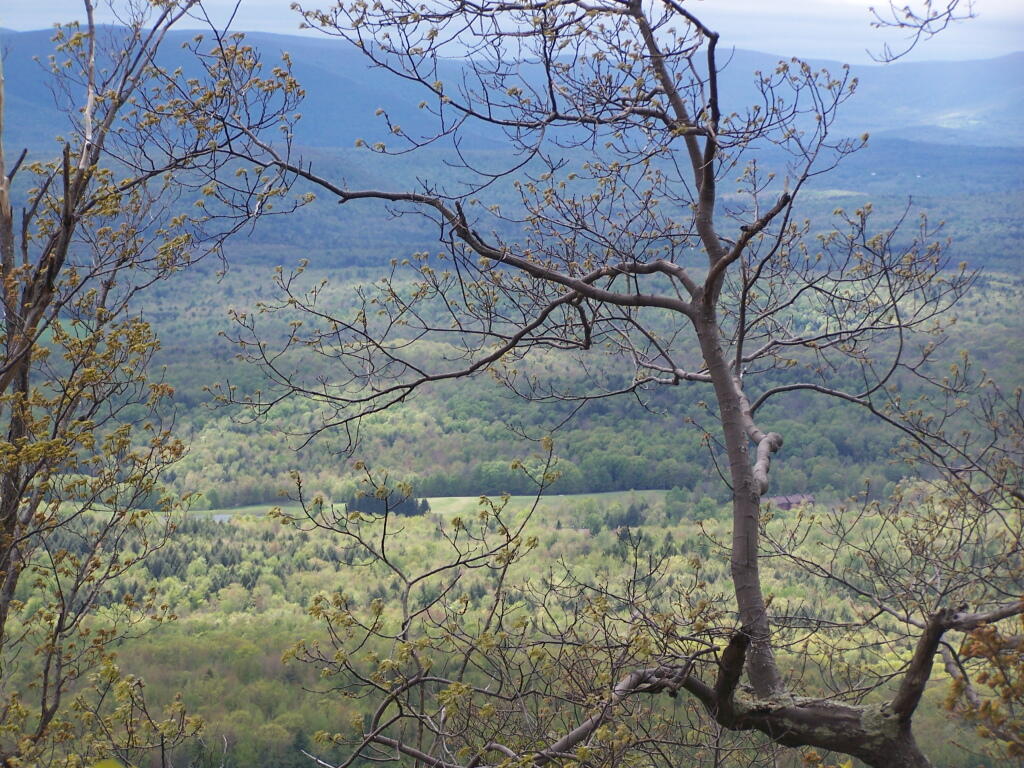
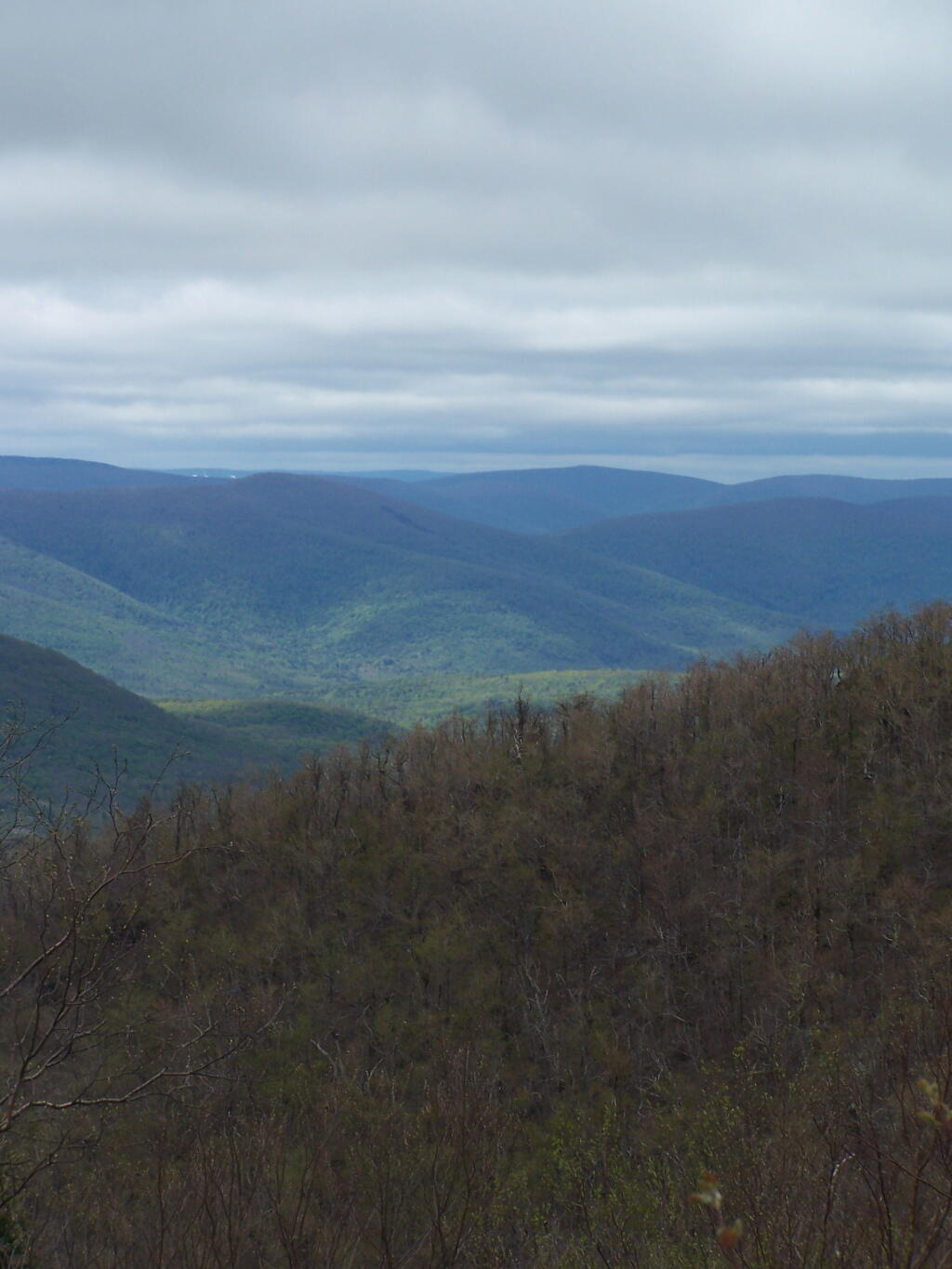
Then there is one steep portion, with some beautiful broken views of the East Kill Valley.
And of Devil’s Clove.
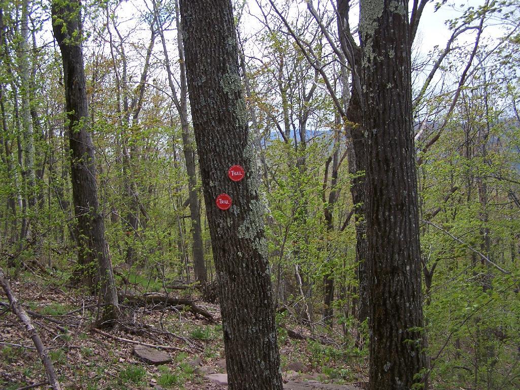
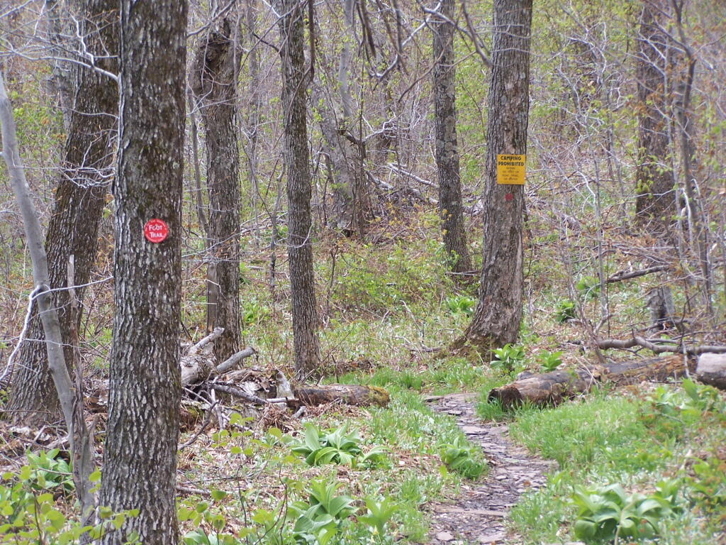
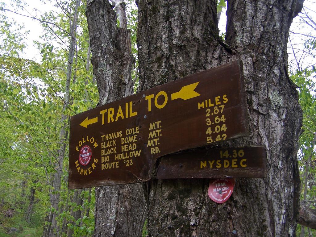
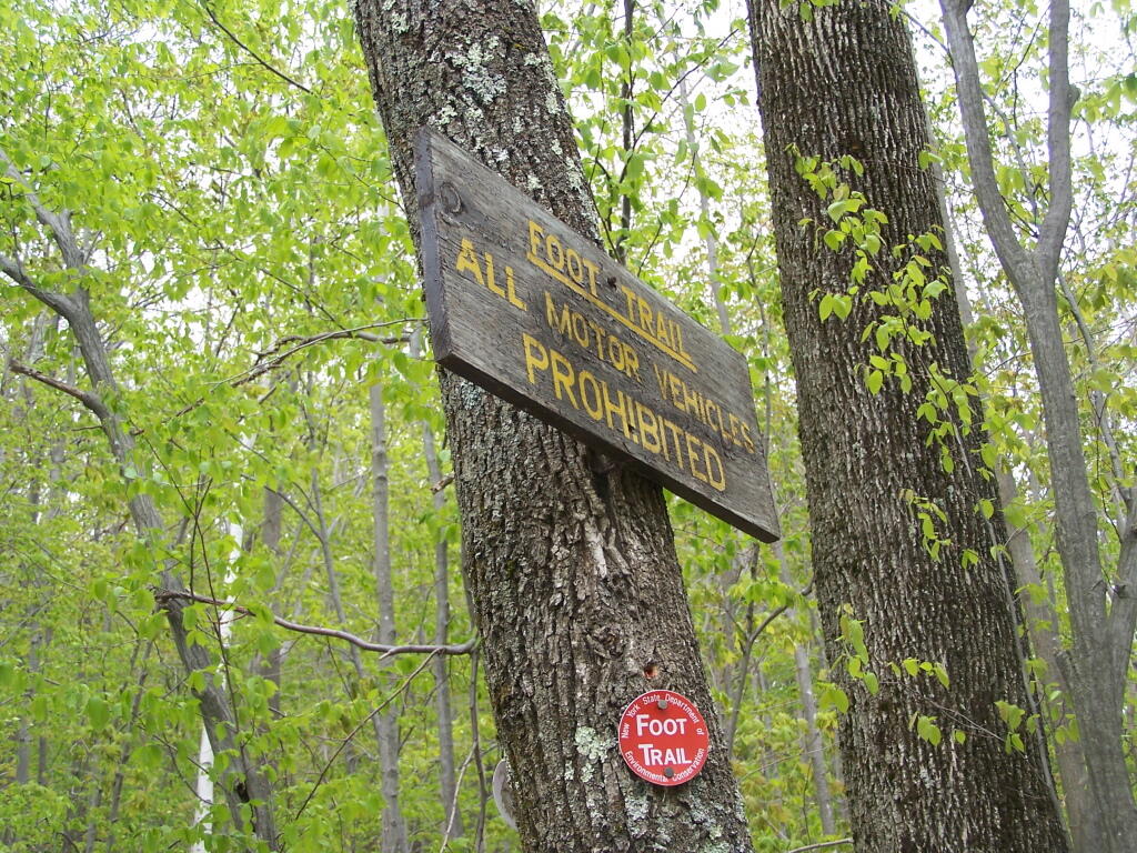
One you reach the unnamed mountain west of Camel’s Hump, the trail is relatively flat, with signs reminding people not to camp too close to the trail.
Looking at Camel’s Hump with Blackhead in the background.
Reaching the top of Camel’s Hump.
Looking off Camel’s Hump at Mount Hayden and the ridge you see to the north-west of Windham Mountain.
Thomas Cole Mountain’s “Black Head” from the Pine Stand, as seen from Camel’s Hump.
North-West from Camel’s Hump you see Acra Point and Huntersfield Mountains.
The flat “col” between Thomas Cole and Camel’s Hump, with Thomas Cole in the distance.
Looking at Camel’s Hump from Thomas Cole Mountain’s clearing.
From the Thomas Cole Mountain’s clearing, looking at Hunter Mountain and how the bottom of the mountain is bright green, while the top of the mountain is largely leaf less.
The view of Evergreen Mountain, and the valley to the west of Hunter.
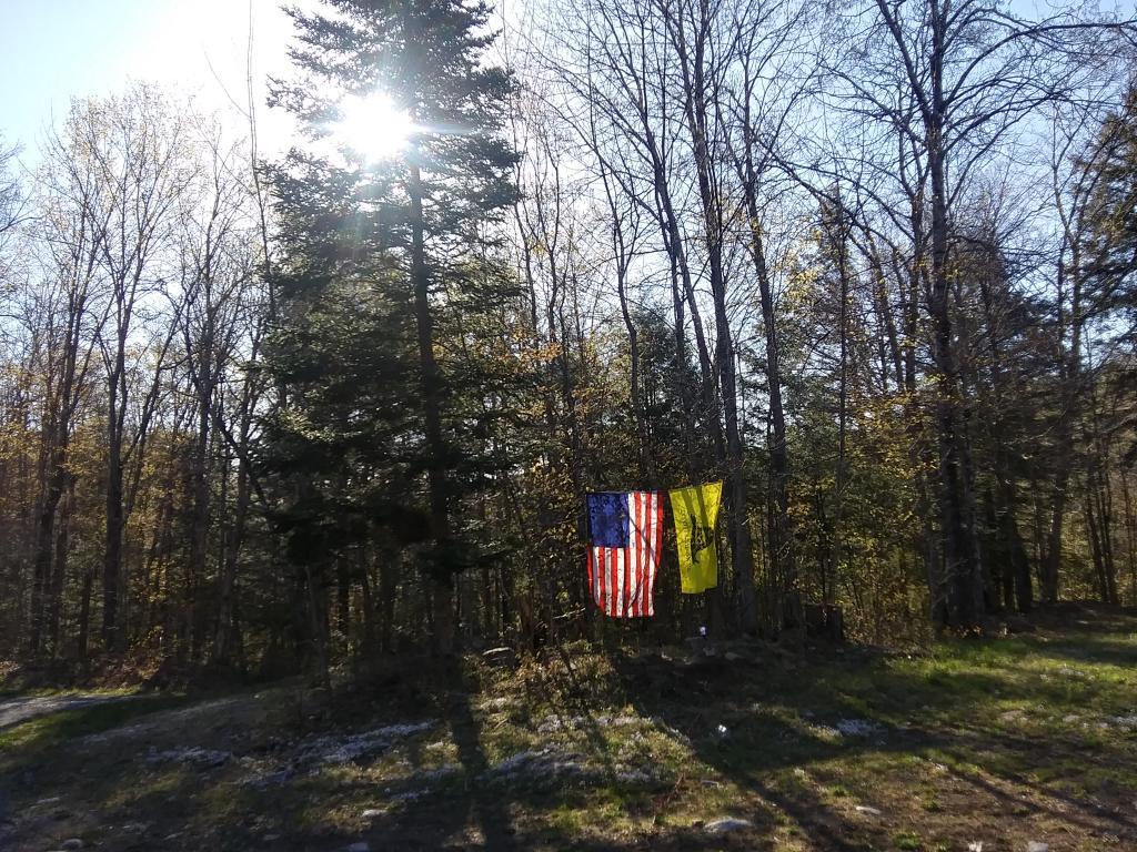
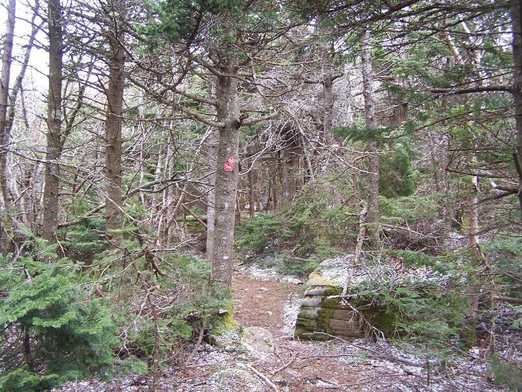
The dense pine forest a top of Thomas Cole, with some snow remaining.
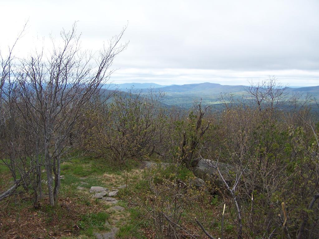
A broken view of Burnt Knob from Thomas Cole Mountain.
Here is the map of the route.
View Thomas Cole Hike in a larger map
