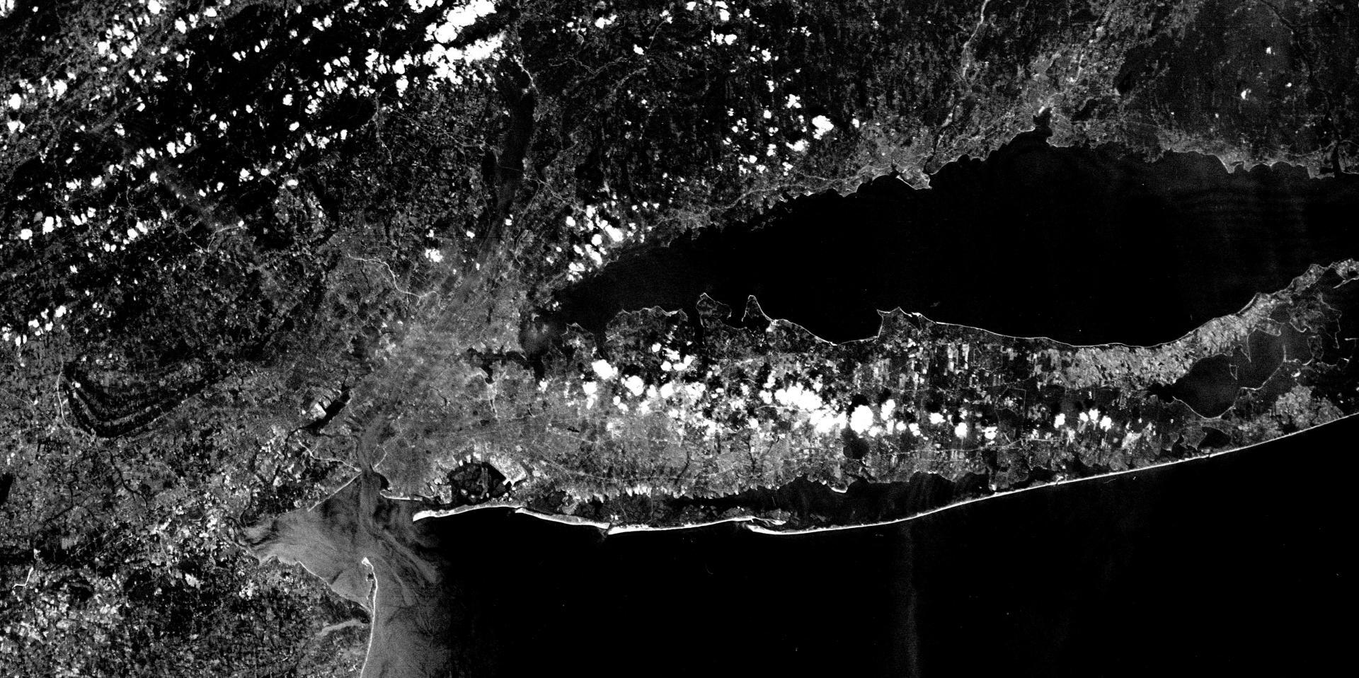
OrthoPhoto: CORONA 2 Declassified Spy Satellite Photo of New York City, August 29, 1963 (!) Download a High Resolution JPEG Image of the CORONA 2 Declassified Spy Satellite Photo of New York City, August 29, 1963 (!) or an Adobe Acrobat Printable PDF of the OrthoCORONA 2 Declassified Spy Satellite Photo of New York City, August 29, 1963 (!). About CORONA 2 Declassified Spy Satellite Photo of New York City, August 29, 1963 (!) .... The early satellites shot on 70-mm BW film and required the CIA to retrieve the film cartridges and develop them. https://en.wikipedia.org/wiki/Corona_(satellite)
More about New York City...Maps and InteractivesWindmill Interchange at Clearview and Long Island ExpresswayVan Cortlandt Park, 1951Triborough Authority – Proposed Authority and Highway Projects, 1966Times SquareThe Bronx 1951The Battery, 1924Smallbany and Lower Manhattan – Queens, A Size ComparisonRikers Island 1924Randalls Island 1951Randall’s Island 1924Randall’s IslandQueens vs AlbanyQueens in 1924 and TodayNyack – Thruway – US 9W InterchangeLower Manhattan 1951Impervious Pavement – Lower ManhattanGowanus Parkway 1951Gowanus ExpresswayGeo. Washington Approach, 1951Fort Totten 1924Exit 26ACross Bronx Expressway in TremontBQE and the LIE Come TogetherCross Bronx Expressway Artery ArtBelt Parkway Artery Art... photos, maps and other content from from New York City.
Leave a Reply Cancel replyYour email address will not be published. Required fields are marked *Comment * Name * Email * Website Save my name, email, and website in this browser for the next time I comment. Δ