LEFT - 1952, showing the railyards and the former Albany Yacht Club.
RIGHT - 2018, replaced by Interstate 787 and the Corning Preserve.
The 1952 map was uploaded and projected on MapWarper by Richard Welty. Download the original here: https://mapwarper.net/maps/44094
What an odd channelized intersection.
Interactive map showing the lands that are part of the Catskill Forest Preserve. It is a fraction of the size of the Adirondack Forest Preserve, with most of the parcels being much smaller.
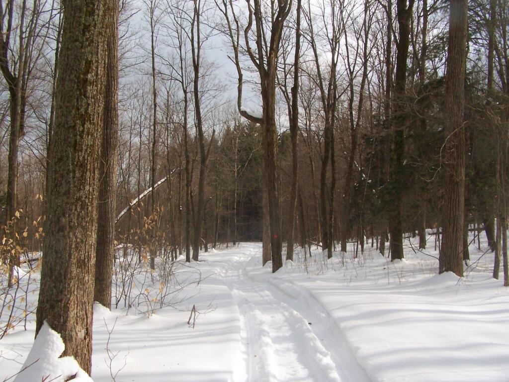
Where the snow was well packed, it was pretty easy going, but in other locations, it was a difficult cutting through the ice and deep snow with snowshoes.
Taken on Sunday February 6, 2011 at Partridge Run Game Management Area.

