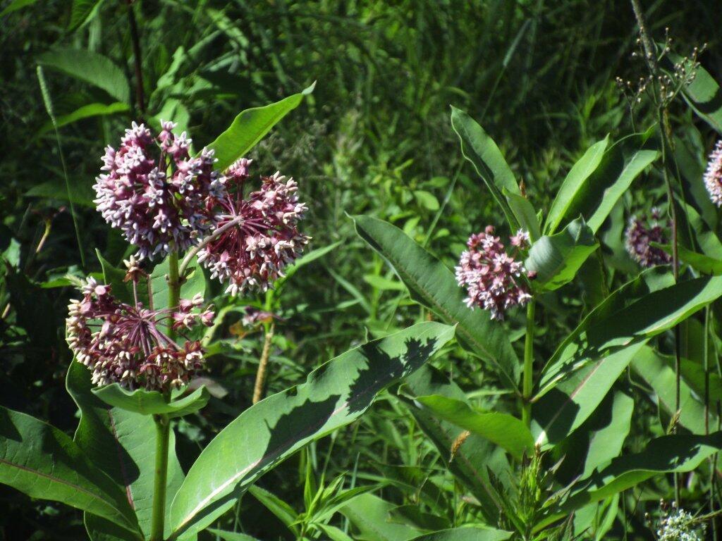
Milkweed
")
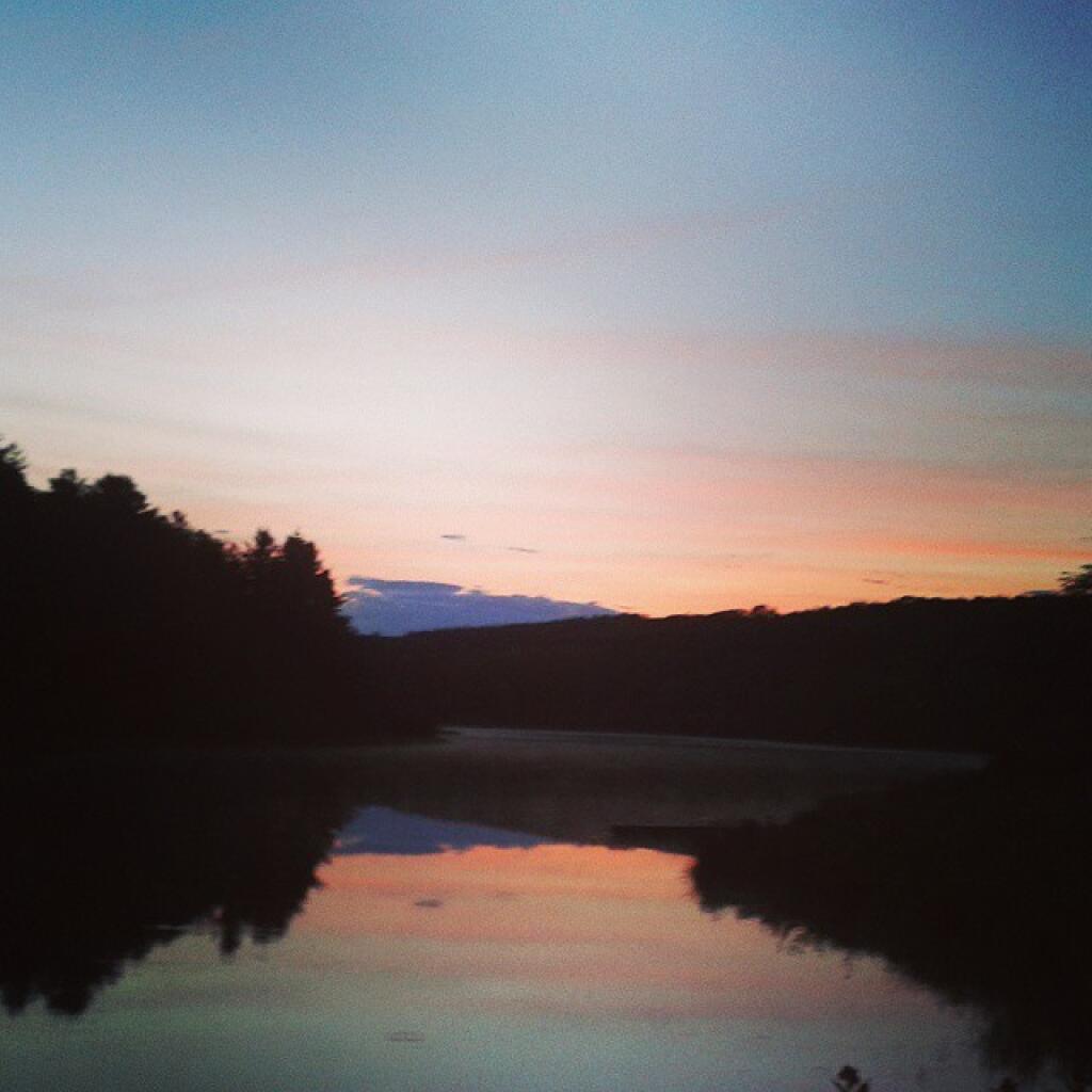
At Fawn Lake.
Monday July 5, 2010 — Partridge Run Game Management Area — Partridge Run WMA 🗺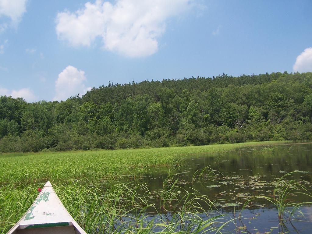

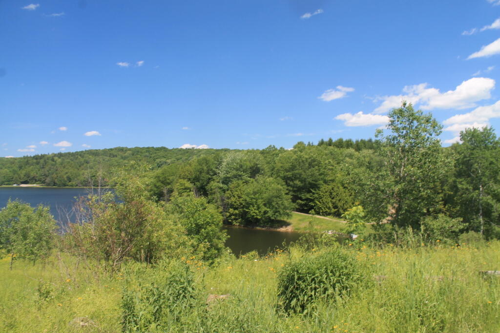

Man-made pond at Partridge Run Wildlife Management Area off Fawn Lake Road and Sickle Hill Road in Berne. Shallow, weedy pond, sometimes fun for paddling around in a kayak and tossing a line in it.
