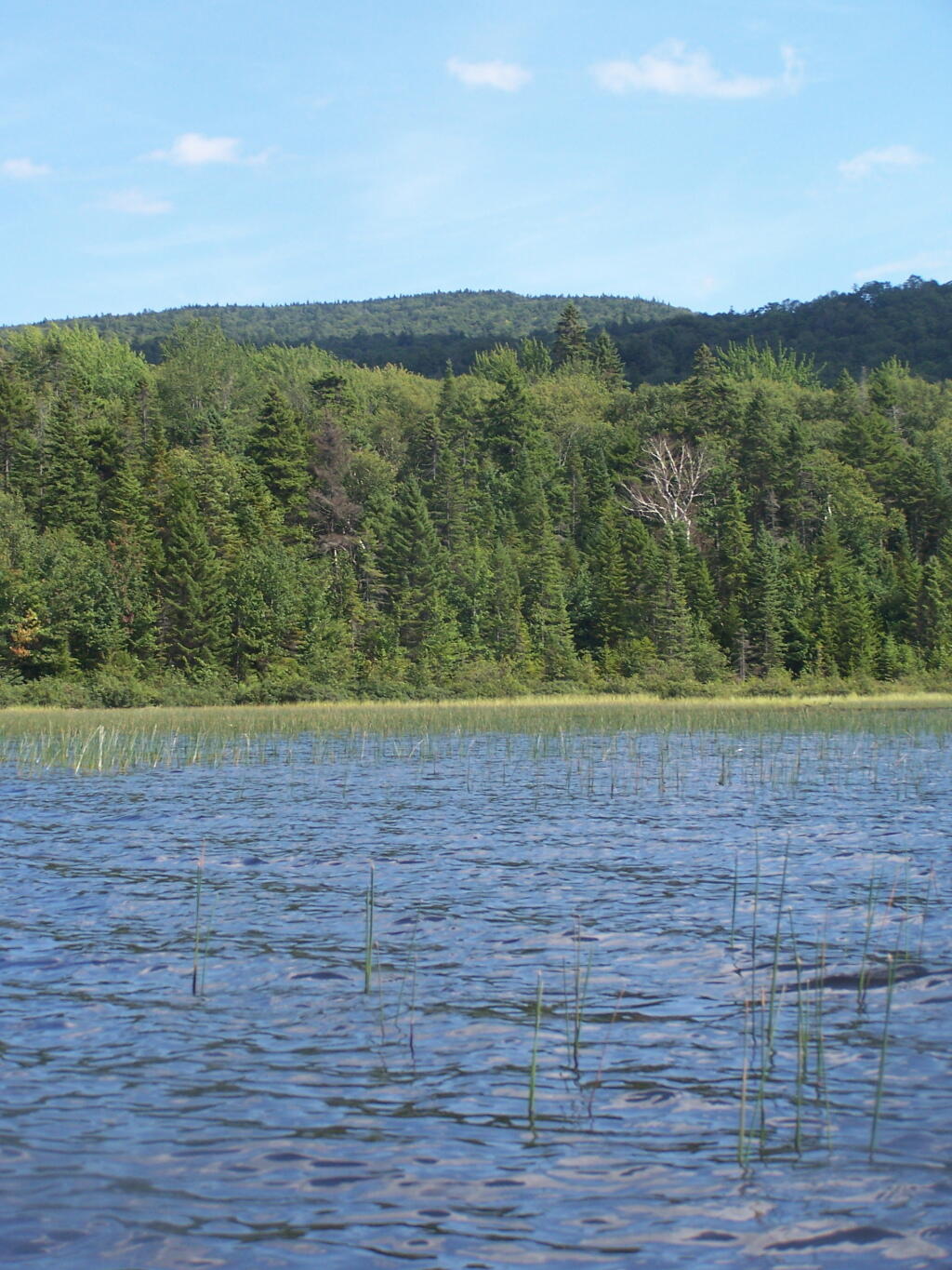
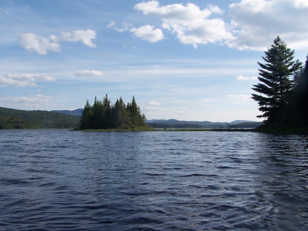
As you proceed west on Cedar River Flow, it becomes shallower and shallower, until it's marshland. It can be a little hard to paddle if you get out of the channel, but in the channel, it's pretty deep.
Taken on Wednesday August 11, 2010 at Moose River Plains.
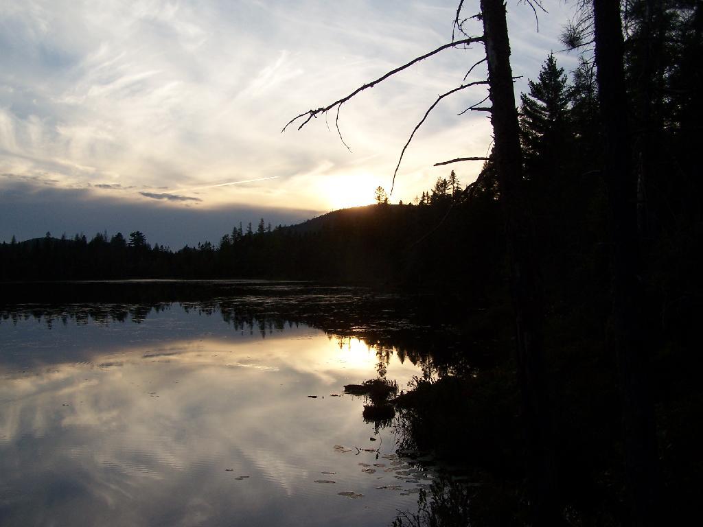
Watching the sun set over Mitchell Ponds Mountain.
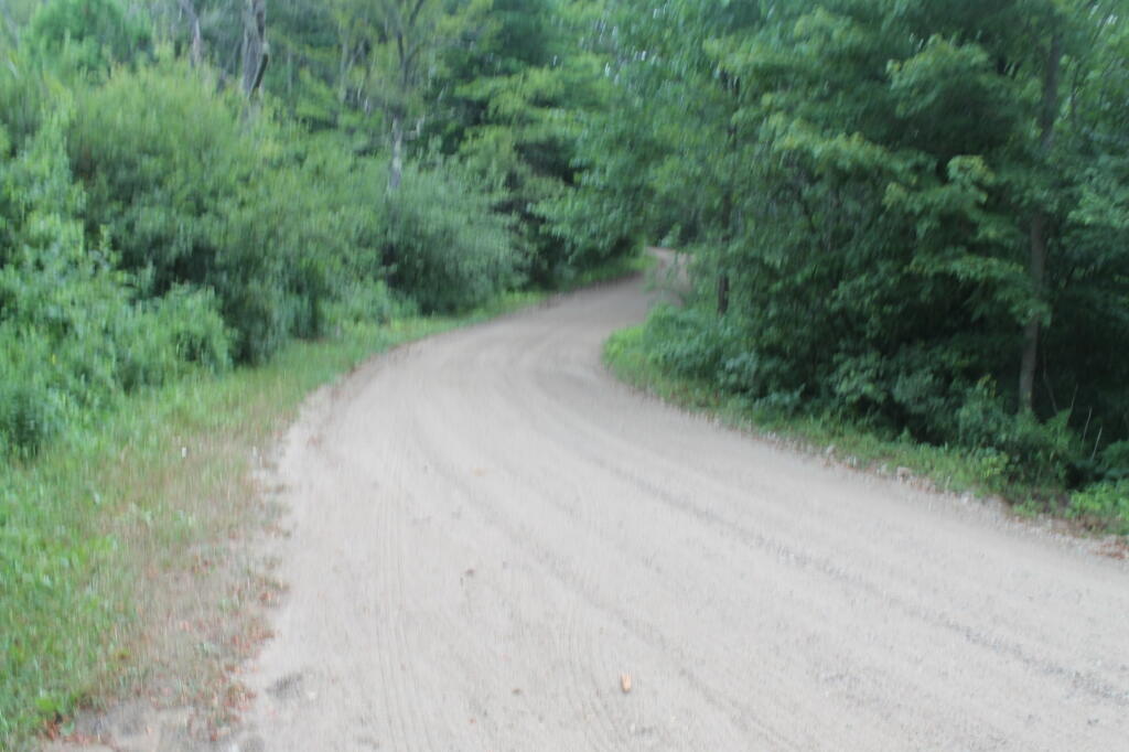
Taken on Wednesday August 11, 2010 at Moose River Plains.
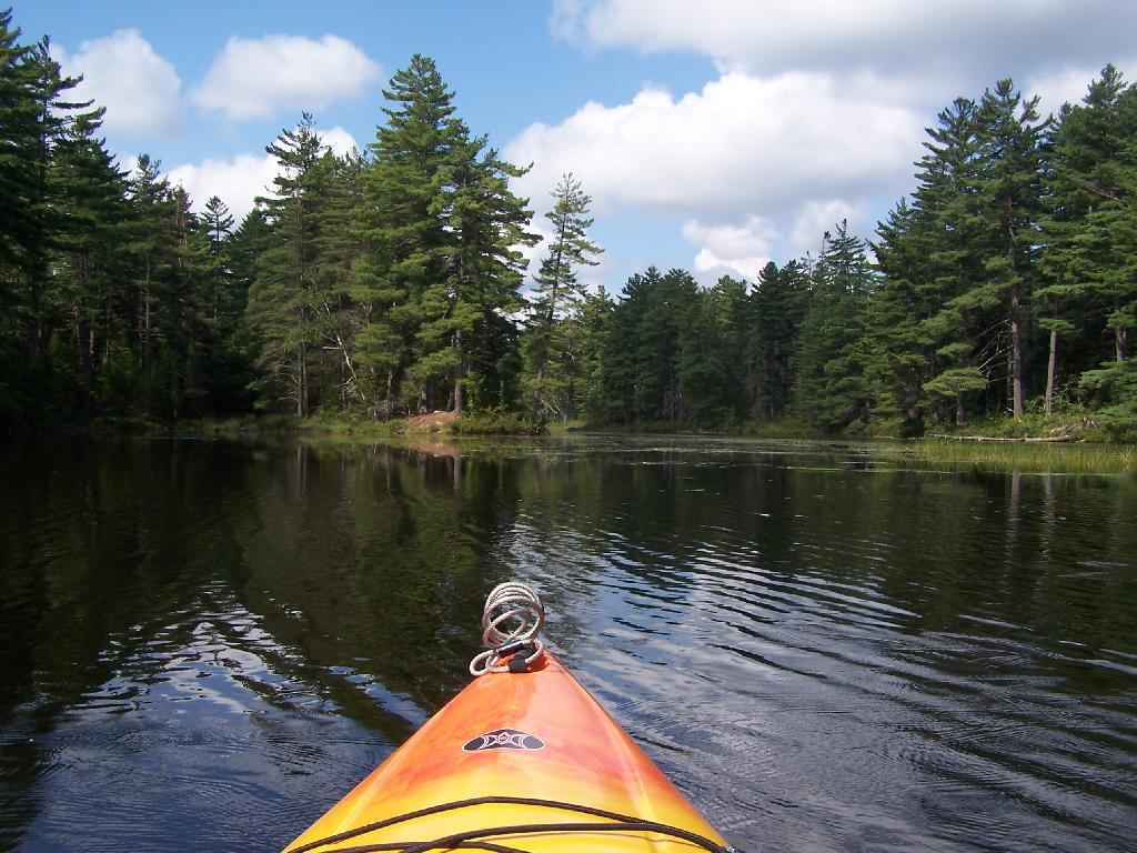
The first mile or so of the Bog River Flow is mostly flooded stream. But as you get closer to Hitchens Pond, it starts to widen a bit.
Taken on Friday August 13, 2010 at Hitchens Pond.
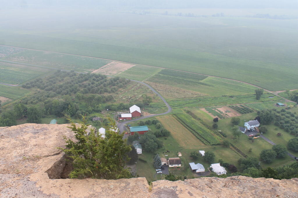
And several other mountains, looking west down towards the Plains.
Taken on Wednesday August 11, 2010 at Moose River Plains.