10 Country Roads You’ll Love Driving On In Your Truck – Wide Open Spaces.
Severe Cold Snap Likely In U.S. Next Week.
The Midwest will be cold but the coldest air won't arrive to Albany for at least another week -- Thursday or Friday, December 15-16 when highs will in 20s with lows in single digits.
Albany will be a 4-5 degrees below normal over the next week, but not outrageously cold. Look for high temperatures in the mid 30s and lows in teens. Some bands of lake effect snow can make driving hazardous.
The weekend of December 17-18th has to be watched. We might get a mid-sized snow storm of 6-12 inches then. And if the pattern remains, the weekend of Christmas could be very white -- it's possible we could get a pattern like the Chirstmas 1969 blizzard, and be left with multiple feet around Christmas and New Years. But maybe that's too optimistic.
The Town In China That Makes The World’s Christmas Decorations.
Crossing The Northway.
Starting to Gain Some Elevation
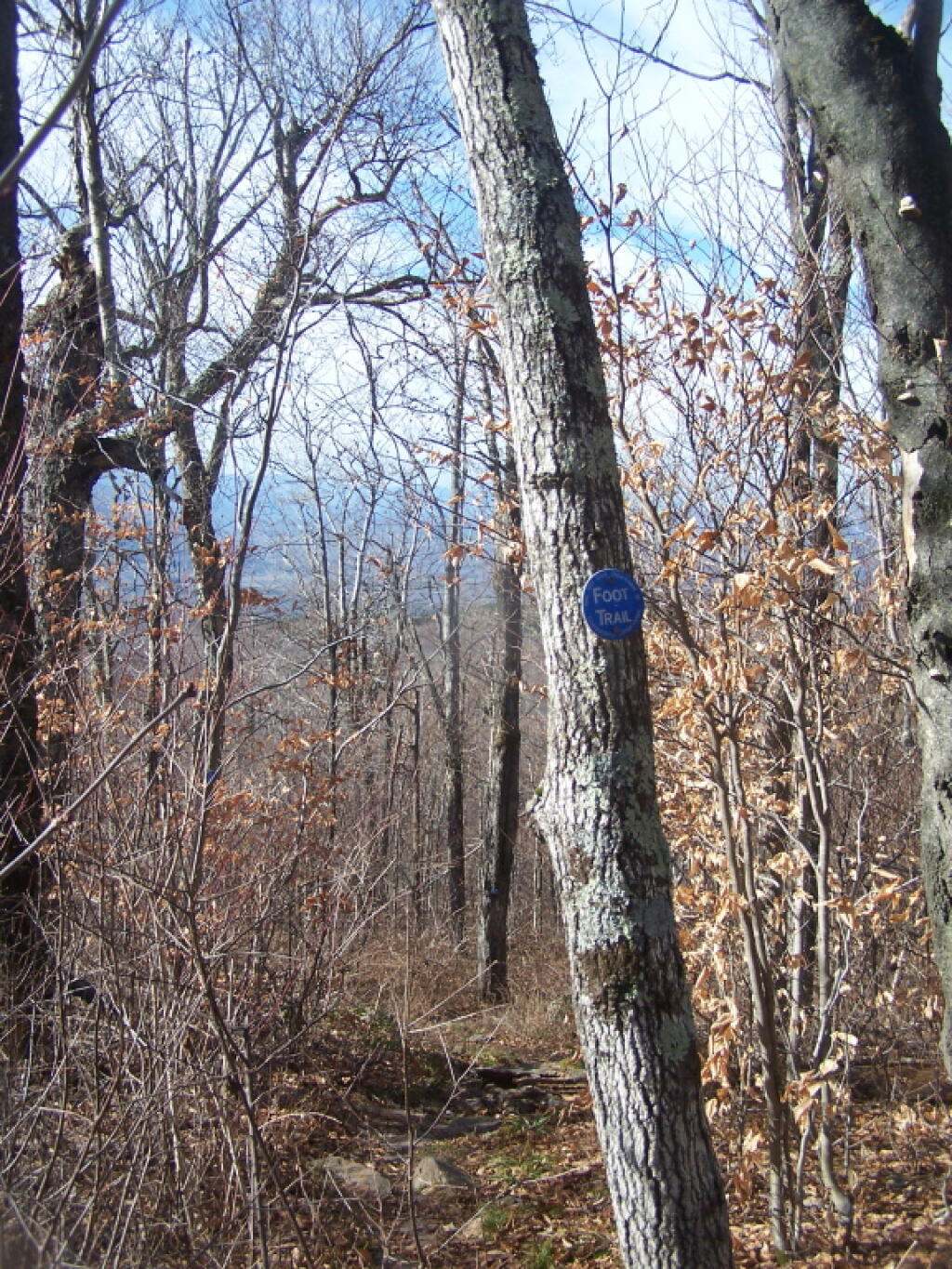
The "low-lands" beyond Windham can seen thru the trees.
Taken on Sunday November 27, 2011 at Northern Escarpment Trail.City of Albany at 12/8/16 10:04 am
Today is the earliest sunset of the year at 4:21 pm. Tomorrow’s sunset is 2 seconds later; Saturday will be 7 seconds later.
December 8, 2016 lMorning
Good morning! Happy Thursday. Six weeks to Obama’s Last Day. Foggy, damp and 33 degrees in Delmar. There is a south-southwest breeze at 5 mph. The skies will clear around 5 pm.
There sure have been a lot of damp and foggy days during this month of December. With the cold weather expected next week, hopefully it will be sunnier even if it’s bitterly cold. Cold air makes it hard for so much moisture to remain in the air.
Today will have a chance of rain and snow showers between noon and 4pm, then a chance of snow showers after 4pm. Mostly cloudy, with a high of 38 degrees at 1pm. One degree above normal. Southwest wind 5 to 9 mph becoming west in the afternoon. Chance of precipitation is 40%. Little or no snow accumulation expected. A year ago, we had fog and a high of 43 degrees. Kind of like today. The record high of 58 was set in 1927. 4.3 inches of snow fell back in 2001.
The sun will set at 4:21 pm with dusk around 4:53 pm, which is 0 seconds earlier than yesterday. Earliest sunset of the year. Tomorrow’s sunset is 2 seconds later; Saturday will be 7 seconds later. Today will have 9 hours and 8 minutes of daylight, a decrease of 54 seconds over yesterday.
Tonight will have a chance of snow showers, mainly after 2am. Mostly cloudy, with a low of 26 degrees at 5am. Typical for tonight. West wind 11 to 13 mph. Chance of precipitation is 30%. Little or no snow accumulation expected. In 2015, it got down to 23 degrees with periods of fog. The record low of -11 occurred back in 1902.
As previously noted, there are 6 weeks until Obama’s Last Day when the sun will be setting at 4:53 pm with dusk at 5:23 pm. On that day in 2016, we had snow and temperatures between 23 and 13 degrees. Typically, the high temperature is 30 degrees. We hit a record high of 62 back in 1929.