what

What is an Election District in NY State?

For sometime I’ve puzzled about what an election district is. If you reside in NY State, you probably live in an election district, and if you volunteer for a political campaign, you probably walked an election district. But you probably have no idea what an election district is.

Defining an Election District.

Article 15 of the Election Law, Section 4-100 defines an election district as:

4-100. Election districts; creation and alteration.

1. The State of New York shall be divided into election districts which shall be the basic political subdivision for purposes of registration and voting as provided in this chapter.

2. The creation, consolidation, division or alteration of election districts shall be done by the board of elections.

3. a. Each election district shall be in compact form and may not be partly within and partly without a ward, town, city, a village which has five thousand or more inhabitants and is wholly within one town, or a county legislative, assembly, senatorial or congressional district. Except as provided in paragraph b of this subdivision, election district boundaries, other than those boundaries which are coterminous with the boundaries of those political subdivisions mentioned in this paragraph, must be streets, rivers, railroad lines or other permanent characteristics of the landscape which are clearly visible to any person without the need to use any technical or mechanical device. An election district shall contain not more than nine hundred fifty registrants (excluding registrants in inactive status) or, with the approval of the county board of elections, not more than eleven hundred fifty registrants (excluding registrants in inactive status), but any election district may be divided for the convenience of the voters.

Simply said an election district is:

  • Defined by the County Board of Elections
  • Normally consists of fewer then 950 persons, but not necessarily equal in population
  • Has to be compact and drawn for the “convenience of the voters”
  • Must follow blocks, as defined by Census bureau (see below)
  • Must follow the boundaries of:
    • Congressional Districts
    • State Senate Districts
    • Assembly Districts
    • County Legislature Districts (in “reformed” county charter counties)
    • City Ward Districts (in cities)
    • Municipal Boundaries (city, town, village boundaries)

What is a Census Block?

All political districts in NY State are a series of Census Blocks, the smallest unit of population count by the Federal Government. Census blocks are defined as:

Census Blocks are smallest possible “city” blocks in area, bounded by:

  • Streets, Roads, Highways
  • Railroad lines
  • Water bodies
  • Rivers, Streams, Creeks
  • Municipal Boundaries (city, town, village boundaries)

Except for municipal boundaries, which are usually defined by historical surveys in a variety of measures, all other boundaries are clearly visible to anybody who visit the boundary.

What is a “Legislative District”?

A “legislative district”, e.g.

  • Congressional Districts
  • State Senate Districts
  • Assembly Districts
  • County Legislature Districts (in “reformed” county charter counties)
  • City Ward Districts (in cities)

… is a district that is defined by a grouping of Census Blocks.

Each legislative district under Reynolds v Simms must have an equal population or relatively close to an equal population. State constitutional and statutory restrictions allow for some variance in population, but differences of population greater then 10% in each district are not allowed.

Each legislative district is drawn based on often very detailed constitutional and statutory restrictions. Compact and contiguous restrictions are well known, but state constitutional and statutory restrictions are less known. State legislative districts are constitutionally prohibited from dividing towns but not cities and villages, except were the town is larger then maximum size of the districts.

Under the Civil Rights Act of 1965, it is unlawful to “draw” legislative districts in a way that reduces racial minority voting opportunities. In other words, it’s unlawful to break up groups of census blocks of a certain race. You can not split up a neighborhood that consists of many census blocks of African Americans or Asian into multiple legislative districts. All legislative districts are subject to review by the US Department of Justice to assure there is no dilution of minority votes.

Often legislative districts are drawn by partisan bodies with ideological agendas in mind. Usually when legislative districts are drawn, there is a lot of consideration of past election results and partisan enrollments. While it’s impossible to know how each census block will vote (as voting enrollment is broken down by election district), and census blocks change every ten years prior to reapportionment, one can make an educated guess on how people in a certain neighborhood will vote in the future.

Legislative districts are simply roughly equal population groupings of census blocks, taking in consideration of legal restrictions and political considerations.

How Election Districts Are Drawn.

After reapportionment of congress, the state legislature, county legislatures, and city wards has been approved by each body, Election Districts are re-drawn. All areas in the same congress, state senate, state assembly, county legislature, city ward, and municipality are grouped together.

If there less then 950 active voters in the resulting districts, then the district consists of those grouping of areas. Active voters are those who have voted in one election since the prior two gubernatorial elections. In 2012, a voter would have to vote once between 2006-2011 to be considered active. If a district consists of more then 950 active voters it must be broken up after the lines are drawn. There is no political advantage by breaking up common districts already drawn, so it’s more done as matter of convenience and simplicity.

Having more then 950 active voters one election district would lead to long lines at polling place, and would not provide for particularly useful election results for further analysis. The election law allows an election district to grow to 1,150 active voters between redistricting of legislative districts, however if it grows beyond that number, it must be split into multiple districts.

Election districts aren’t generally drawn for political purposes. All the potentially controversial work was done in drawing the various legislative districts, so drawing election districts really not that important, even if the results of elections are often used to predict future results.
Keep the Government Off My Moose River Plains

Some of the Tea Party activist-types have been known to hold signs up that say “Keep the Government Off My Medicare”. Liberal commentators gets a kick out of that, by pointing out that Medicare is a government program and would not exist without the government. That is logical, but that is not the implied meaning — that government is something different then the public as a whole and functions the government is supposed to provide to the public.

Government doesn’t always serve the public interest. Indeed, in many cases it does not serve the public interest because of citizen apathy and because certain insiders have more power then average citizens. Laws are often written in smoke filled rooms, and are used to justify policies decades later that are not supported by the majority, but instead the small minority of special interest groups that originally got them passed.

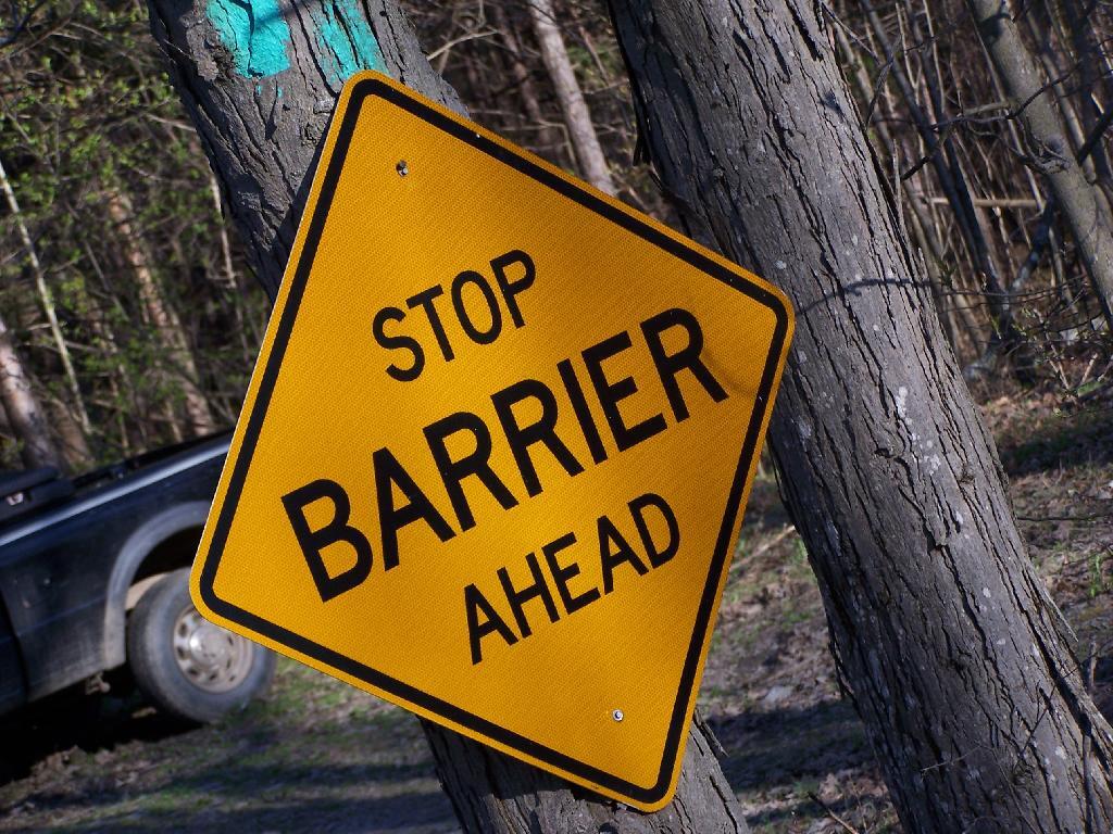
Stop Barrier Ahead

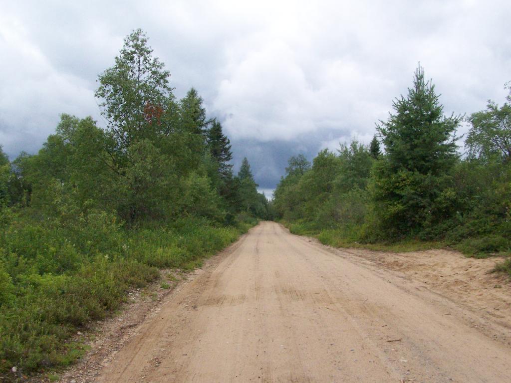
Few examples could be clearer then Indian Lake Road, now closed at the bottom of the hill below Squaw Lake. This road went to Indian Lake prior to 2008, a beautiful wilderness lake that was great for paddling and fishing. It was closed due to Adirondack Park State Land Master Plan Act, and because the DEC wanted to “bank” 2.5 miles of Moose River Plains Road to use for then they acquired the Nature Conservancy parcels to add to the Vanderwhacker Wild Forest.

You can still walk those 2.5 miles. The road is in decent enough shape to allow you to bring a kayak back on wheels. And at least for now, you can still backpack in a campsite along the road. But then it makes Horn Lake and other places even farther back, and makes the back country even farther back. And it begs real questions: why is the government taking our public lands from us?

Tea Party folk are right to question why the government is taking things from us. the public that they should be providing things to and not taking away from us.

What Happened To Industry in Upstate New York

In almost every Upstate New York city, and small town that surround them, it’s a pretty sad story economically. There is little industry left, most of the jobs are at places that provide social services like healthcare and education. These “social service” businesses are largely subsidized by the state and federal governments, and provide money for consumers to go to Walmart, McDonalds, and other chain retail places, that provide affordable products that are almost entirely imported to the local area. The chain retail places in turn create more jobs, for limited wage.

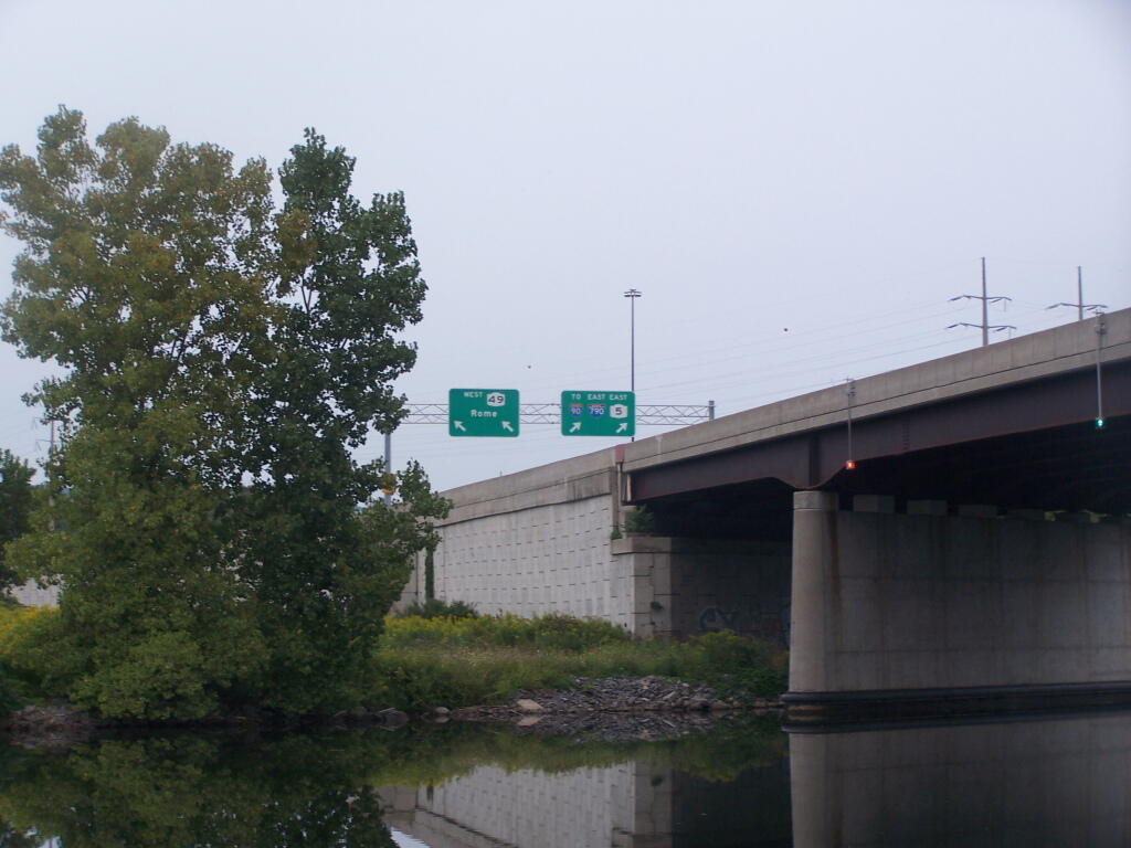
NY 49 / I-790 / NY 5 Split

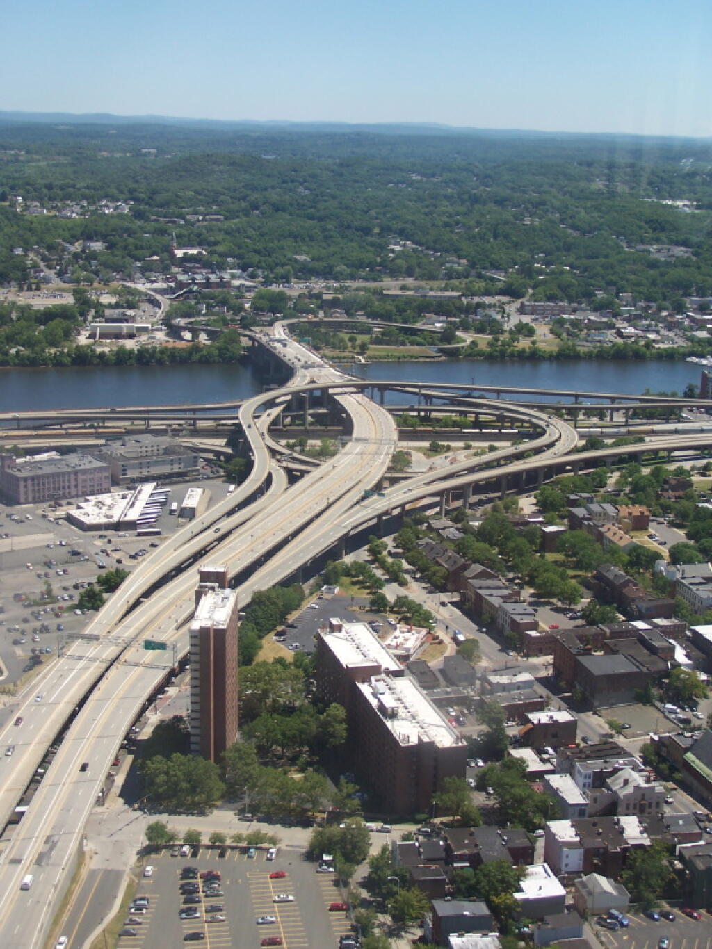
Downtowns are largely left in ruin, with small local businesses unable to compete for employee’s limited wages, being spent at the chain retails on the outskirts of the Upstate cities. Downtowns are not automotive friendly, suffering from congestion, noise, and limited parking. Where downtowns have been victims of government sponsored “urban renewal” of 1960s and 1970s, cities are often left with overbuilt expressways, that produce air pollution and noise. Many urban renewal projects were poorly designed, with ugly “modern” buildings and highway ramps, that don’t fit into communities but instead are standard designs drawn up in Albany and New York City.

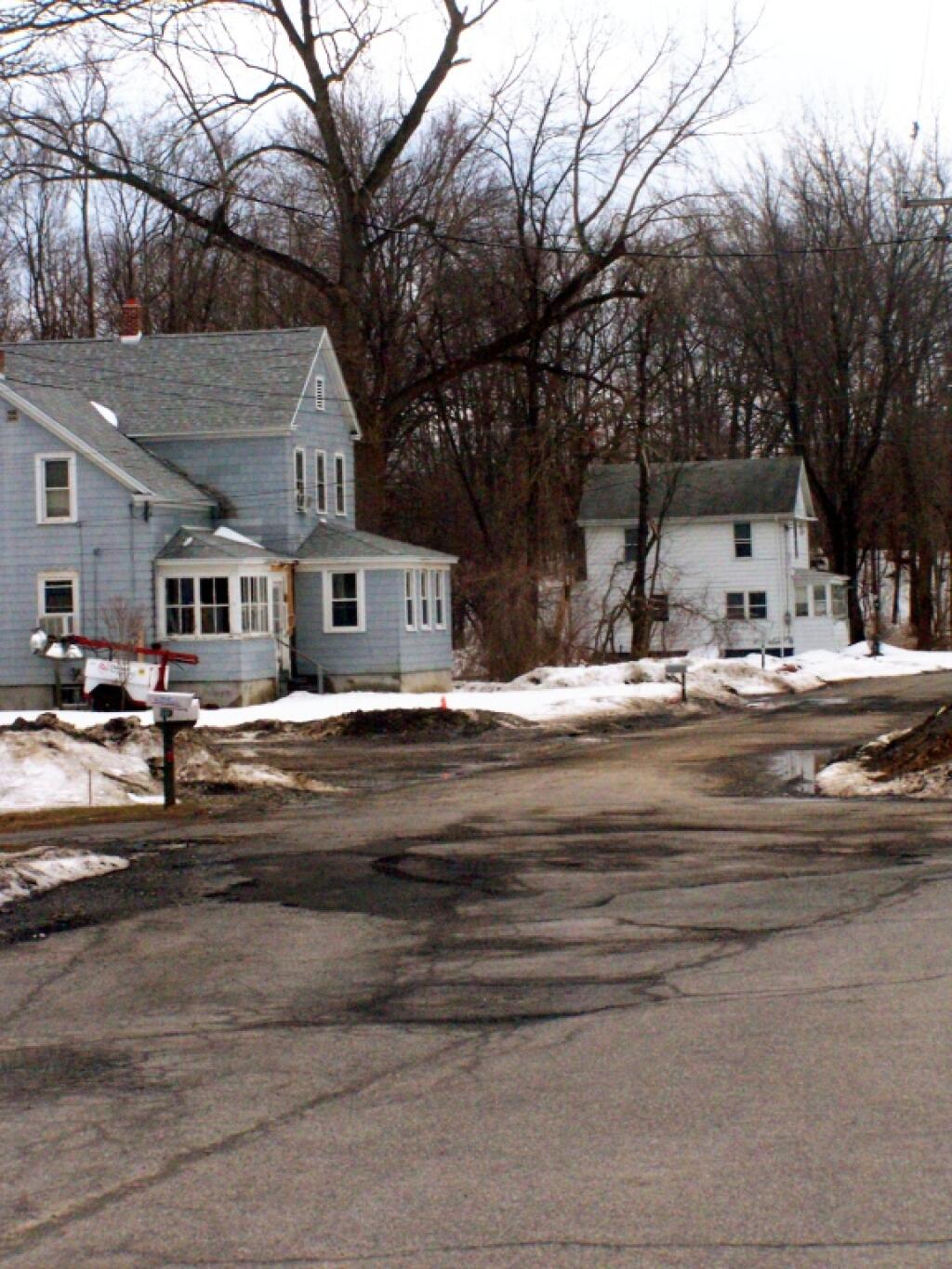
Original Houses in Karner

Businesses left Upstate New York for many reasons…

One of the most important was the change in the economy — fueled by cheap fossil fuels — that encouraged centralization around large urban areas. Scaling up, in many cases, around large urban areas made it possible to make more product or economic activity in a large urban area, rather then smaller businesses spread out across more rural areas. Why have small plants spread out over large areas, when you could have a centralized facility that produced more product at less cost and with greater control of the final product?

The second major reason that is too often New York State policy is driven by urban liberals and ideologues, outside of the field of regulation, that imposes impossible conditions on businesses. While health, safety, and welfare is important of employees, and environmental pollution must be controlled, regulations and laws relating to businesses need to make sense and be relevant, and not just written in a state office building in Albany, without paying attention to the needs of specific industries.

The third reason is the state spends too much time courting large businesses to move into the state, without paying much time to local businesess, that meet local needs. There is an official policy to attract large employeers, and to hand out pork to them, while ignoring small but important businesses. Politicians are happy to hand out state dollars to businesses, but too often unwilling to get into the nitty-gritty of what is neccessary for businesses to succes in state. There is tons of money to hand out, but with little thought of consequences. Communities are ignored in favor of state-wide policies, handed down by Albany.

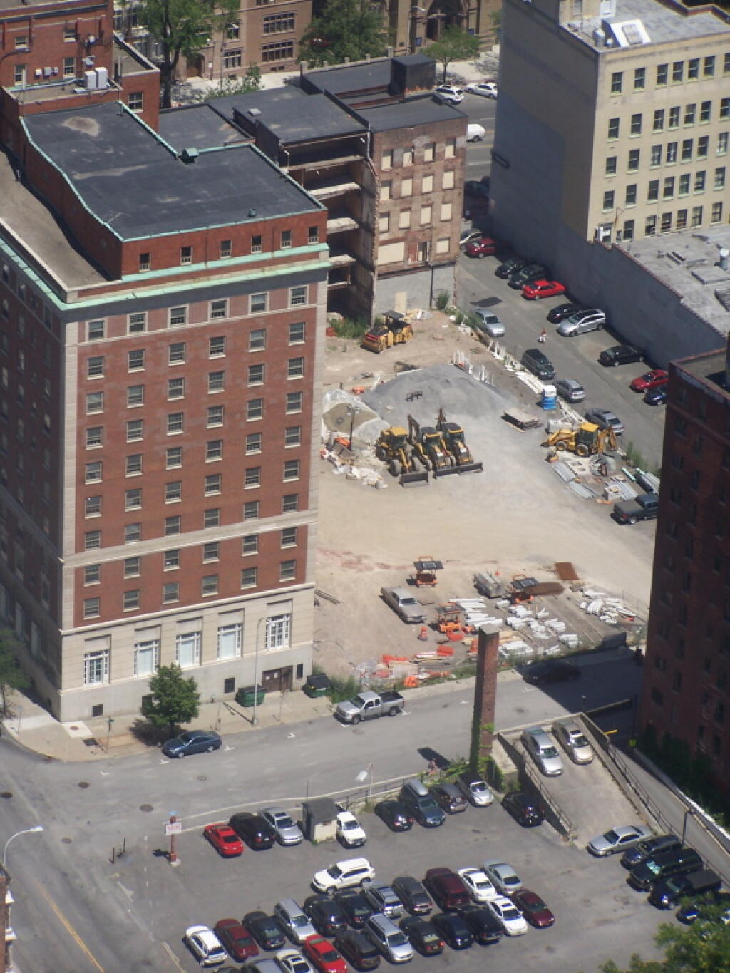
Demolished Buildings Off of State Street

What are the solutions …

1) Home Rule.

The state needs to bring back greater home rule at all levels of government. Regions of state need to have more self-goverence, from the local government up to regional branches of state government, such as Department of Environmental Conservation Regional Offices. To the greatest extent possible, regulations and policies should be tailored to meet individual parts of state.

Curve in the Road

2) Better Downtowns and Less Sprawl.

The state needs to do better at helping small communities. They need to rebuild downtowns, but not just pour money into them. They need to do community scaled improvements, that slow traffic downtown, provide adaquate downtown parking, while creating bypasses around downtowns, so through traffic need not slow down or congest downtown streets. Building bypasses through downtowns, as seen in places like Amsterdam or Little Falls, is only a recipe for diaster.

The state should also eliminate subsidies to suburban sprawl on the edge of cities. The state in constructing bypasses should take steps to discourage big boxes stores to locate along the bypasses. Suburban sprawl businesses, if desired, should come without special tax breaks, as they are already profitable. People want Walmart to provide inexpensive products and provide jobs, but not at the taxpayer dollars.

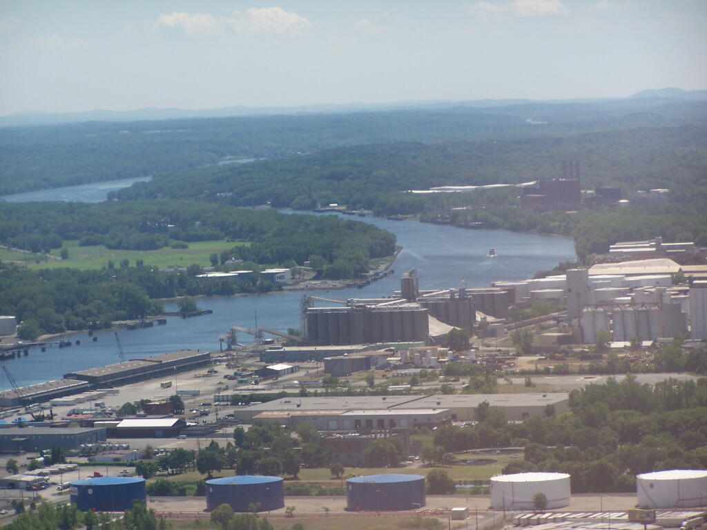
Port of Albany

3) Encourage Import-Replacing Businesses.

The state also needs to actively encourage import-replacing businesses. Upstate cities need not just businesses that manufacture needed products, but businesses that provide products that meet local needs. Farmers markets are a great example, but the state needs to find ways to get local farms to produce affordable products that are able to service local needs (and export in addition). Likewise, we need to be developing our energy resources like wind, water, solar, along with oil and gas reserves, not just for export, but also to service local needs. Manufacturing products that service local needs, besides export is important.

Too often the big businesses the state induces to upstate communities, do not sell any of their products locally. A business that exports only, or exports primarily does little service the community. Such a community spends it’s hard earned dollars by importing products, rather then making them at home. The multiplier effect, and much of the economic value, is lost when a product is solely exported. Often with export-only economies, both the people and land are exploited for distant, urban gain of the wealthy, rather then investing in local communities.

If a biomass power plant provides electricity, and steam for a local community, using waste wood or farm waste waste, then all of the benefit remains in the community. Chances are such production is sustainable, as local needs are less like to exceed the carrying capacity of the landscape. It also keeps all of the money locally. Projects like this should be encouraged by state — in contrast to wind farms that only export their product.

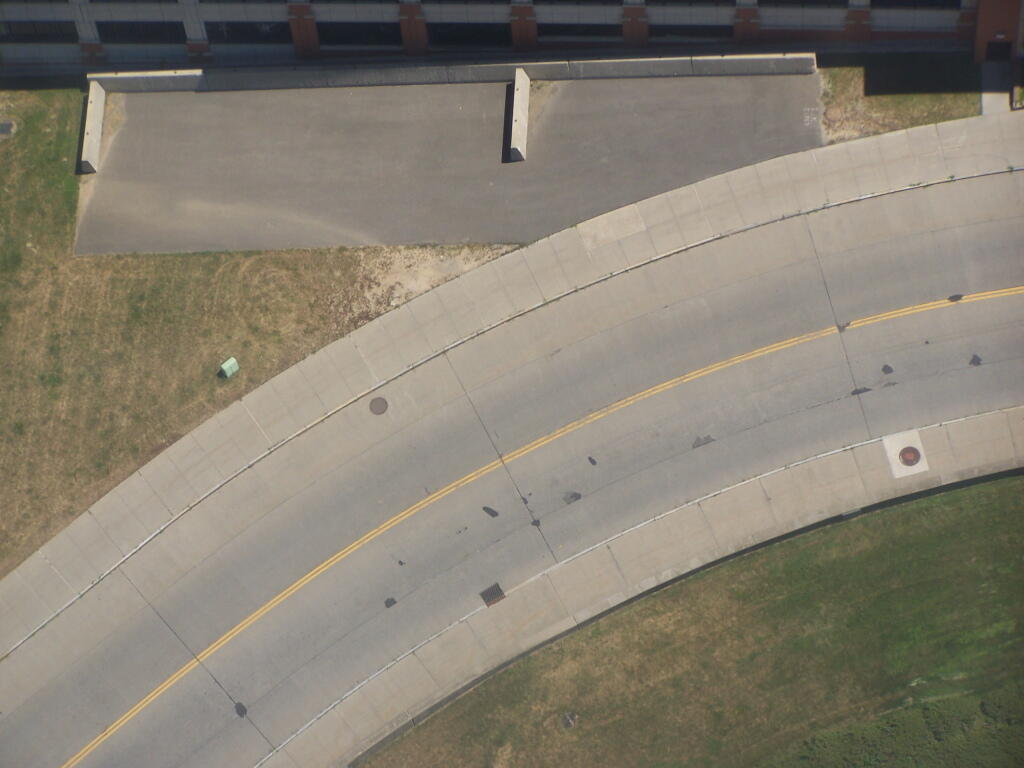
Closed off South Mall Arterial

4) Encourage the Arts and Education.

New York does a good job at encoraging arts and education. Yet, the state needs to do it in ways that benefit the local community, and not well segregated state universities and distant people. Communities need flexibility to spend the money, to ensure that local arts and music are benefiting local people.

… local jobs for local people.

What is a Primitive Tent Site?

The Adirondack Park State Land Master Plan describes primative tent sites as follows:

25. Primitive Tent Site–a designated tent site of an undeveloped character providing space for not more than three tents, which may have an associated pit privy and fire ring, designed to accommodate a maximum of eight people on a temporary or transient basis, and located so as to accommodate the need for shelter in a manner least intrusive on the surrounding environment. (page)

The Adirondack State Land Master Plan uses the definition of a “primitive tent site” in a wilderness area to explain campsites in wild forest.

1. All structures and improvements permitted under the guidelines covering wilderness areas will be allowed in wild forest areas. […]

Here is the wilderness “primitive tent site” regulations per the APSLMP:

1. The structures and improvements listed below will be considered as conforming to wilderness standards and their maintenance,rehabilitation and construction permitted:

— primitive tent sites below 3,500feet in elevation that are out of sight andsound and generally one-quarter mile from any other primitive tent site or lean-to:

(i) where physical and biological conditions are favorable, individual unit management plans may permit th establishment, on a site-specific basis, of primitive tent sites between 3,500 and 4,000feet in elevation, and,

(ii) where severe terrain constraints prevent the attainment of the guideline for a separation distance of generally one-quarter mile between primitive tent sites, individual unit management plans may provide, on a site-specific basis, for lesser separation distances, provided such sites remain out of sight and sound from each other, be consistent with the carrying capacity of the affected area and are generally not less than500 feet from any other primitive tent site;

Also, in wild forest, so-called groups of primitive campsites are allowed:

Small groupings of primitive tent sites designed to accommodate a maximum of 20people per grouping under group camping conditions may be provided at carefully selected locations in wild forest areas, even though each individual site may be within sight or sound and less than approximately one-quarter mile from any other site within such grouping, subject to the following criteria:

— such groupings will only be established or maintained on a site specific basis in conformity with a duly adopted unit management plan for the wild forest area in question;

— such groupings will be widely dispersed (generally a mile apart) and located in a manner that will blend with the surrounding environment and have a minimum impact on the wild forestcharacter and natural resource quality of thearea;

— all new, reconstructed or relocated tent sites in such groupings will beset back a minimum of 100 feet from themean high water mark of lakes, ponds,rivers and major streams and will be located so as to be reasonably screened from the water body to avoid intruding on the natural character of the shoreline and the public enjoyment and use thereof.

Roadside Camping at Site 5

Despite threats from PROTECT! and Residents Committee to Protect the Adirondacks, the Adirondack State Land Master Plan has never been litigated in court, so there is no legal interpretations of the ASLMP outside what has been decided by the DEC and Adirondack Park Agency.

Many different wild forests have taken that definition to different meanings…

Camping at Campsite 57

Generally Open to All Campers…

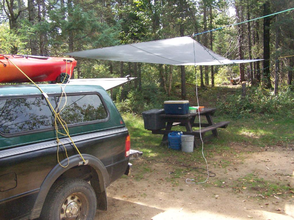
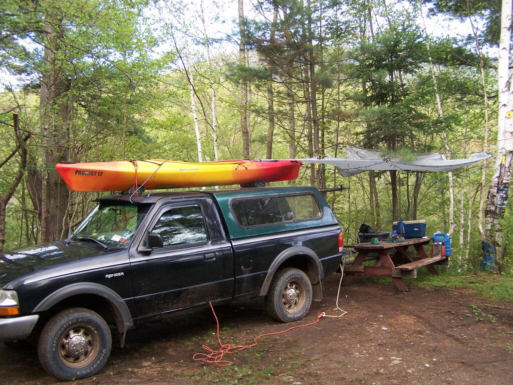
At Ferris Lake Wild Forest, particularly on Piseco-Powley Road, it has been taken to mean roadside campsites, where vehicles can access, and people are free to bring in a pickup camper or recreational vehicle if they so choose. Indeed, the draft UMP and the Adirondack State Land Master Plan both mention roadside camping. The Ferris Lake UMP goes as far as to describe various sites, and how big of a vehicle can fit in individual campsites. The sites have fire rings and outhouses, which is consistent with that definition. A minority of sites also have picnic tables.

This is common in most wild forests with roadside campsites, including Black River Wild Forest (North Lake, Woodhull Lake), Debar Mountain (Mountain Pond, Jones Pond, etc.), Ferris Lake Wild Forest (Powley Road, G-Lake Road, Edick Road, Mountain Road, etc.), Moose River Plains, and Vanderwhacker Wild Forest (Moose Club Way, Northwoods Club Road, NY 28N, Cheney Pond, Blue Ridge Road), Wilcox Lake Wild Forest (NY 8, Pumpkin Hollow, Hope Falls, etc.).

Tent Site Use Only…

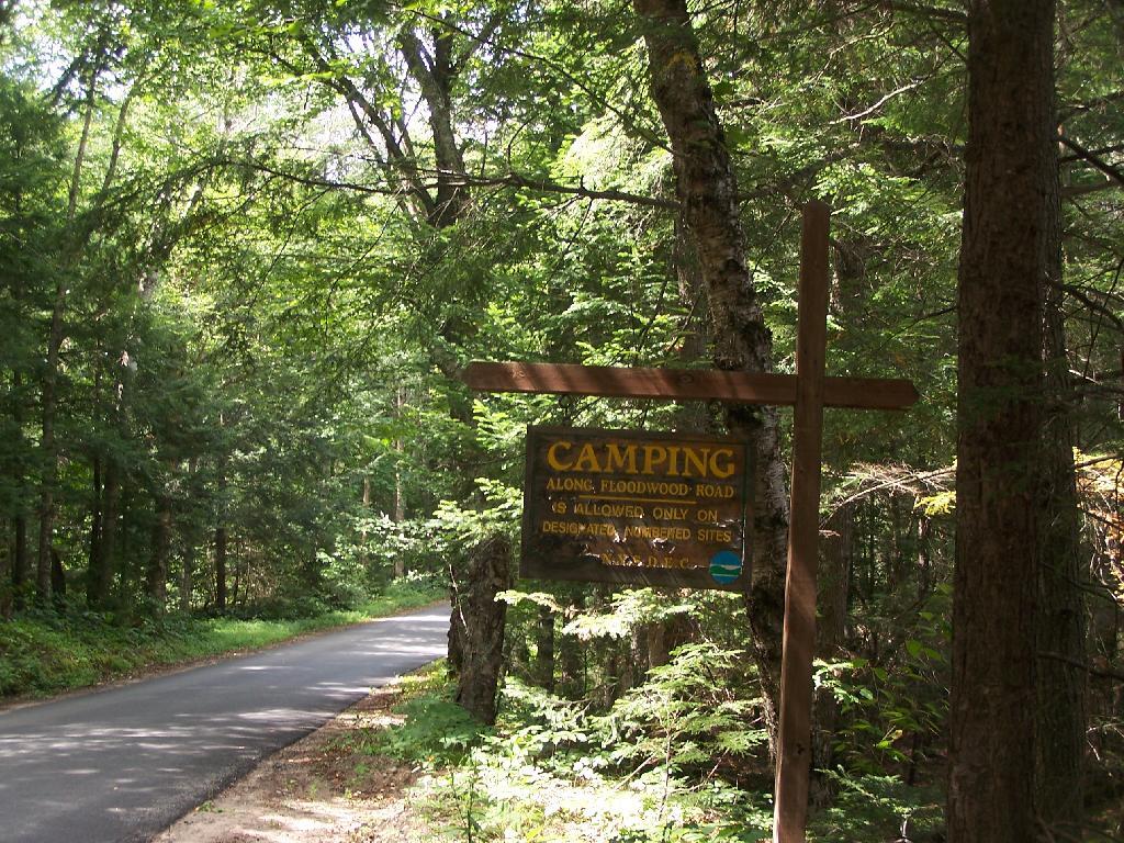
On the polar opposite would be Lake George Wild Forest, particularly along Darcy Clearing Road and Hogstown Road, where all of the campsites have been relocated and blocked off to prevent any vehicle use or non-tent use. The argument here is that primitive tent site must be taken literally in the dictionary sense, and that any use of vehicles, such as truck campers or recreational vehicles are inconsistent with the Adirondack Park State Land Master Plan.

Similar policies on restricting use of motor vehicles in roadside campsites exist in a minority of other wild forest campsites (like the lower portion of Harrietstown Road and Garnet Lake in Wilcox Lake Wild Forest), however the majority of forests allow some roadside campsites, with vehicle access.

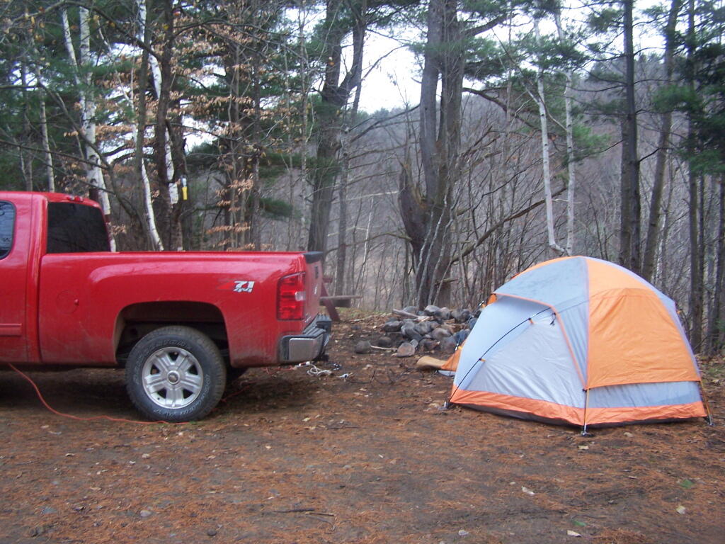
Tent Camping at Foxx Lair

History Looms Large.

But let’s be honest, most wild forests allow unrestricted roadside campsites for a variety of vehicles, including pickup campers and recreational facilities. This has been going on for over 100 years, basically as long as their has been motor vehicles in the Adirondacks, and certainly as long as recreational vehicles and truck campers have existed. Most public lands, outside of NY State also do not have much in restrictions on roadside camping.

It’s tough to take away from people what they are already granted, and enjoy, especially if the rational is limited. People enjoy roadside camping in a variety of vehicles, and in many locations. For many people, they have been coming to the backcountry for decades, parking their truck or RV, and enjoying all of the solitude and pleasure that roadside camping.

Road Trip to Dimock PA

Roughly 30 miles south of Binghamton, NY is Dimock, PA. I wanted to visit Dimock for some time, because I wanted to see up close the impacts of natural gas drilling in Pennsylvania. Dimock is particularly infamous for a couple of tragic accidents caused by faulting casing in gas wells causing poisonous hydrocarbons to leak out into the surrounding area. Dimock is also the home of Cabot Oil and Gas, one of the most controversial drilling companies in Pennsylvania due to their awful track record with certain wells.

NY 29 to Montrose.

I’d didn’t stop and take any pictures, but I’m including some images from Google Maps, and you’ll just have to imagine the rest from my words.

Dimock is an easy drive to get to from New York State – just take NY Route 7 south from Binghamton (you can access it from I-81 Exit 1 South of Binghamton), and NY Route 7 becomes PA Route 29 as you cross the state border. PA 29 is a very narrow and slow road, going through many hamlets, and the road is in serious need of repairs – although it was in awful shape the last time I drove it in 2008, prior to the big gas boom. Normal commercial and agricultural traffic has long made this road need of a rebuild and widening heading to the Capitol of Susquehanna County. The additional drilling related traffic hasn’t helped this road, as it ages long beyond, it’s time for widening and replacement.

PA 29 is the main road from Binghamton to Montrose. It has for a long time been congested with traffic heading to and from the capital of Susquehanna County. For most part the traffic is to be expected on a rural arterial – lots of folks in pickup trucks, beat up cars, milk trucks, grain trucks, pickups towing horse and cattle trailers. There are also traffic related to gas drilling, such as fresh water haul trucks used for fracking, and residual waste trucks hauling away condensate from gas well. I saw a pickup truck with a goose-neck trailer with drilling bits on it. For the most part traffic was free flowing.

There are small cattle farms in valley below PA 29, and some of the mountains above the road show quarrying activity for Blue Stone and possibly also coal. Nothing too obvious from the roads, but in one or two places, it’s obvious there is some mountains being mined for their products.

Busy Montrose on Saturday.

Eventually you real reach the borough of Montrose. This small city was very busy, but that’s to be expected of the only city in the region on a Saturday. People go to city to pick up groceries, shop, and fill up at the gas station. Walmart – on the outskirts of the city – was particularly crazy there.

There was a mix of truck traffic from different sources – some agricultural, some oil and gas related, some other for other businesses like grocery stores. Busy, but certainly not grid lock. Montrose is a pretty gritty little city, much like other cites in Twin Tier region, with lot of folks in big jacked up pickup trucks with gun racks. It’s certainly not an urban area by any extent of the imagination. Traffic in Montrose reminded me much of busy nature of Wellsboro PA or Watkins Glen NY.

South of Montrose.

South of Montrose is where the country starts to open up along NY 29. There is some rural houses on large lots on NY 29, but it’s mostly farm country. Traffic is very light south of Montrose. There are many farms on hilltops and across the landscape. Just past Dimock Post Office, and a few houses, there is Cabot Oil and Gas offices. Cabot Oil and Gas’ Dimock Headquarters is a one-story ranch-style building, that appears to be formally a rural doctors office or other small business office. It’s not a new building. The parking lot has been expanded with gravel – it’s obvious that once the gas wells are completed in this area, Cabot probably will be closing out this regional office.

This is where you first start to see first gas wells, one right beyond the Cabot Oil and Gas Office, and one on a farm field to the left of the road. This gas well is completed, although there are two condensate tanks on the roughly 4-acres pad. The pad is large, when viewed up close from the road, but there are no equipment on the pad except for the tanks. There is no reason why they could not remove the pad now, except for the access road to condensate tanks for occasional pumping. Farming activity is going up and around the well pad, with alfalfa currently planted around the pad, for the dairy farm on which it is located. Well pads are located on farms that are roughly 250 acres in size on steeply rolling country, so their impact both on farms and landscape is minimal. Spacing requirements limit well pads to one per 160 acres – but realistically terrain and gas fields expand things out further then that.

For the next three miles, as you go up and down several hills, there is no well pads thats can be seen, until one pops up in the distance on right. This well doesn’t produce any condensate or was abandoned, so there are no tanks or equipment above around. From there, it’s kind of hilly, with a lot of forested brush lands, in areas not economical to farm, mostly used for residents in fall to harvest wood for heating, and hunting in fall.

Lemon to Nicholson.

When I got down to an unmarked hamlet known as Lemon, I took a left onto State Route 1006, and started winding around farm country. Climbing out of valley, up towards Seely Hill, there where many well manicured farms, that obviously where well capitalized, professionally run operations without a lot of junk in their yards. None of farms where particularly large, as this area lacks the soils to sustain CAFO-sized farms, but with beautiful old farm houses painted white, and barns painted red. Cows where grazing around, corns, alfalfa, hay, and soybeans where planted following the landscape. Atop some of the hills, you could see for miles.

Not everything was picture perfect. It was a working landscape, and some farms where more messy then other. Passed a junkyard, and some trailers and houses. Almost everybody had burn barrels or pits for trash. Many had targets and stuffed deer statues in their backyards used for plinking. There where some abandoned houses, and grown up fields. It was very much a rural landscape – a bit a beautiful, wild and free landscape. There was rural poverty. It is a scene not unfamiliar to a New Yorker, something not far from one’s imagination, although due to the more southernly latitude allows farming on many hilltops unlike NY State.

You would climb one steep hill, and descend another, and you might see an gas well. After a while of winding on some back road, I saw a gas well under construction. Drilling rigs are big and tall, and there is a lot of trucks holding water, flowback water, chemicals, and drilling bits. I noticed quite a bit of particulate laden steam / smoke from one of compressor rigs – a potential problem – although it seems government regulation to reduce pollution from oil and gas industry will further clean the air. Such minor and localized pollution wasn’t everywhere.

Many places didn’t have any gas drilling activity underway. The further south or west you got from Dimock, and further you got from the gas field around Dimock, and the fewer wells you would see, until you see no more wells dotting the landscape. After a while, there was no more drilling activity going on.

Eventually I ended up in Nicholson, and took US 11 back to New York. The archways of the Lackawanna Railroad Viaduct are quite remarkable as the soar high above this town. US 11 is a delightful road, following a narrow valley along the deep valley of the Martin Creek, until one eventually reaches Great Bend on Susquehanna River and I-81 back to NY State.

Conclusions I Draw from My Trip.

Dimock is one small hamlet across Pennsylvania. It is a pocket of some of the most intense natural gas drilling in Pennsylvania. Gas drilling is not without impacts, but it is not the industrialization or utter destruction of rural life. Farms continue after gas drilling, and modest rural housing continues to exist. Small towns continue to be small towns, even if there is a benefit of greater employment and higher standard of living in these small towns.

Dimock is still primarily about farming and rural life – it is not suburban – but enjoys the boost that gas drilling gives to the town. Gas drilling does not urbanize rural areas or turn them into industrial wastelands, but instead provides

… do take this trip on your own. It’s not that long of a drive from Albany, and it’s a very interesting and beautiful drive for sure.

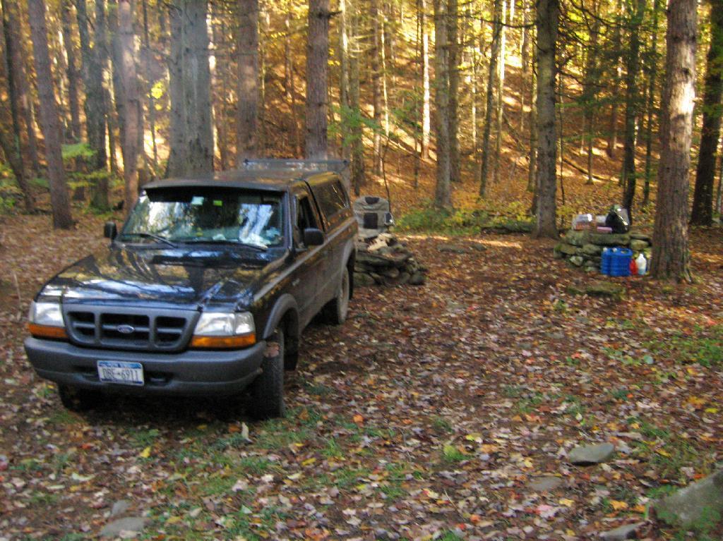
What A Good Roadside Campsite Should Have

1) Roughly a quarter mile separation between each campsite to enhance privacy, allow people to make noise or listen to music into the night, without disturbing other parties.

Moose Plains Road in Plains

2) A flat place to park and set up camp, far enough off the road to provide some privacy buffer and ensure safety – i.e. not having people putting up tents right next to the truck trail where cars could be passing at any moment.

Along the Kinderhook Creek

3) Provides wild forest experience, with tall and old growth or nearly old growth trees around the site.

Camping Back at Fox Lair

4) Not aggressive regulation of campsites, minimal patrolling by government bureaucrats.

Camping Only At Designated Sites

5) Provides a relatively flat and open place to camp with some gravel or elevation so it’s not too muddy even after use.

Campsite

6) A clean site without a lot of litter – people should be encouraged to burn their burnable garbage, and make sure to pack out anything that can’t be burned. Fireplaces and firepits are much more desirable then stone rings.

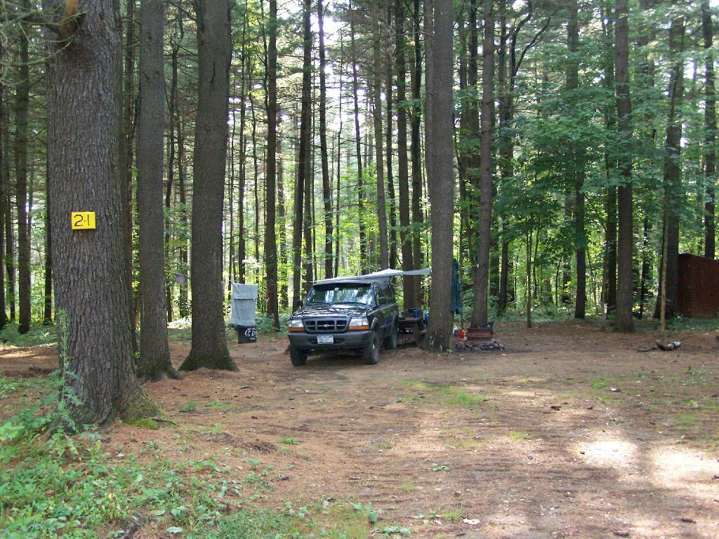
Campsite 21

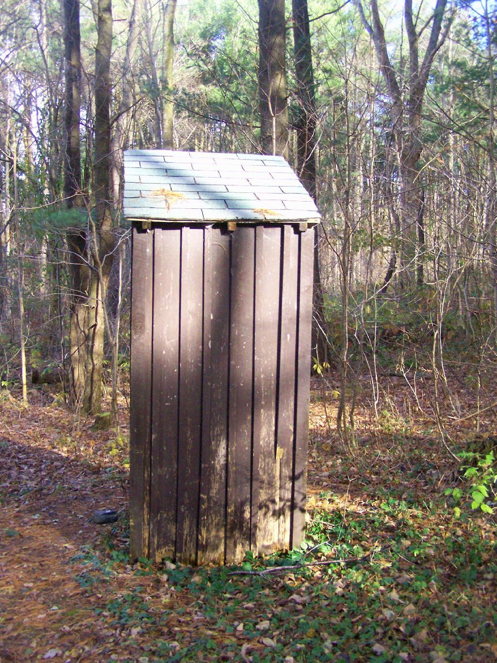
7) Outhouses help enhance sanitary conditions at campsites, especially well used ones. Too often campsites have litter in the form of toilet paper, and to a lesser extent human waste, from it getting dug up by animals.

Outhouse

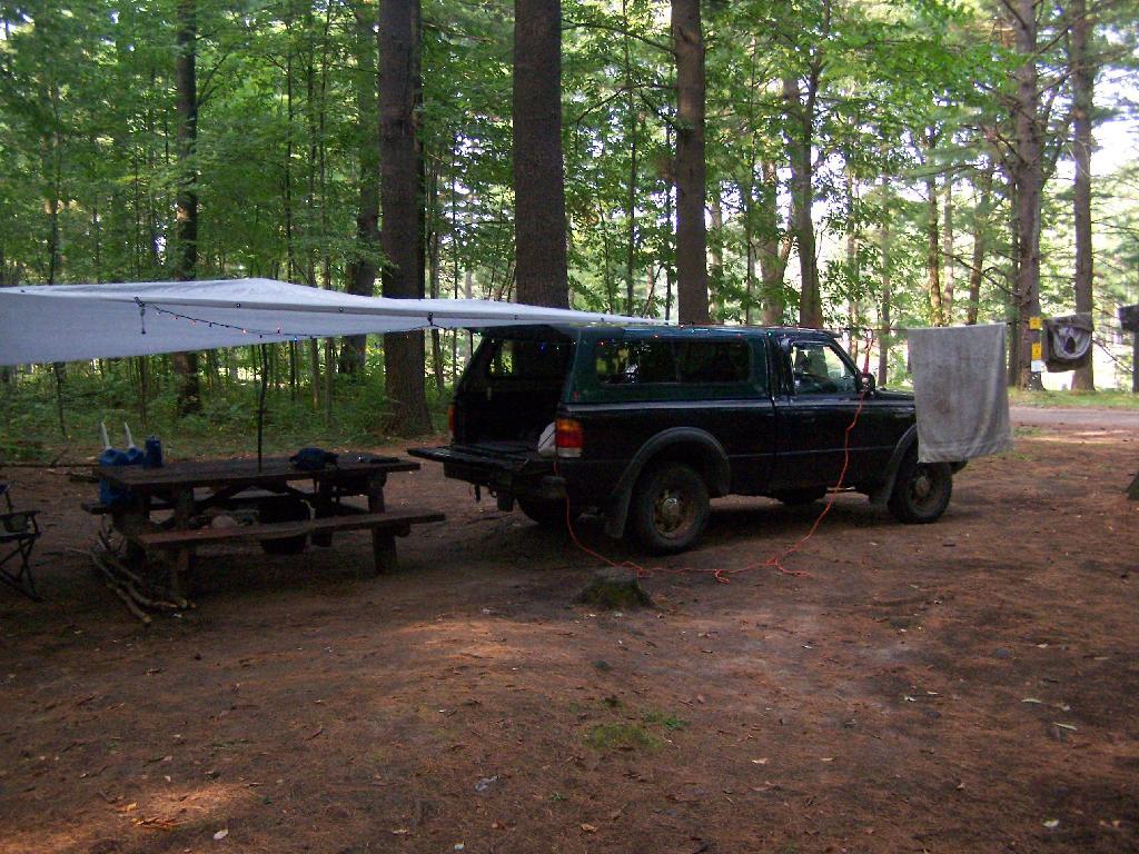
8) Picnic tables are nice to have but not essential. Bring your own table!

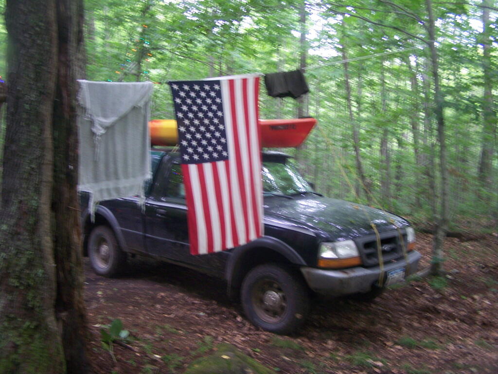
Clothes Line

What are Alienations and Non-Alienations of Parkland?

As all park land (including local parks, county parks, state forests and forest preserve) in NY State belong to all of the people, it is important that they remain in the hands of the people, for all to use and enjoy for all times. Only under specific circumstances can government take park land away from the people, and when they do, they must always replace it with some of comparable or greater value.

Today’s fodder is an excerpt from the Alienation Handbook put out by Office of Parks, Recreation, and Historic Preservation.

Hikers Enjoy the Purty Lake

The following have been determined by the courts to be alienations:

  • The conveyance, sale, or lease of municipal parkland or recreational facilities to another entity, such as an adjoining property owner, a developer, or a school district, which results in the facility no longer being used for public park and recreation purposes.
  • The lease of municipal park or recreational facilities even though the resource may continue to be used for public park and recreational purposes.
  • The use of parkland by a municipality for a non-park purpose, such as for a water filtration facility, a landfill, a museum, senior housing, temporary parking of police or municipal vehicles, or street construction.
  • Restricting to local residents the use of recreational facilities that had previously been open to all persons.
  • Failure to keep a public park or recreational facility equally open to the public. A public park or recreational facility must be open to the public on an equitable basis. Where availability of public facilities is limited, such as with ball fields or marina berths, the use of facilities should be determined by some method which gives everyone the same opportunity for access, such as assignment on a “first-come, first-served” basis, or by using a lottery system.

North East

These are considered to be non-alienations:

  • The construction and subsequent issuance of a revocable license for the operation of a park facility such as a cafe, snack bar, parking, or for a boat rental service which serves park patrons in connection with their use of the park.
  • A revocable permit for the use of park facilities for a special program or function, such as an arts and crafts fair, or a permit of greater duration for the temporary use of park facilities which are not otherwise being used by the public. The permit should contain a provision that it may be revoked at-will by the municipality. A temporary use should not be allowed to lapse into a permanent one.
  • The operation of a public park or recreational facility by a private concern. A public park and recreational facility need not be operated by a public entity, but may be a facility operated by a private, profit-making concern on behalf of a municipality under a lease or license agreement. To remain a public facility, the agreement must serve a public purpose, and must not result in exclusively private use. Also, the use must be one that is compatible and appropriate for the park or recreational area in question.
  • Charging ìuse fees, as long as they are reasonable and non-discriminatory. Where use fees are charged, whether by a public or private operator, they should not be in excess of those charged for comparable facilities in the area. A municipality may charge persons who are not residents of the community higher fees than it charges to residents, but case law suggests that non-resident fees should not substantially exceed the comparable fees assessed to residents.