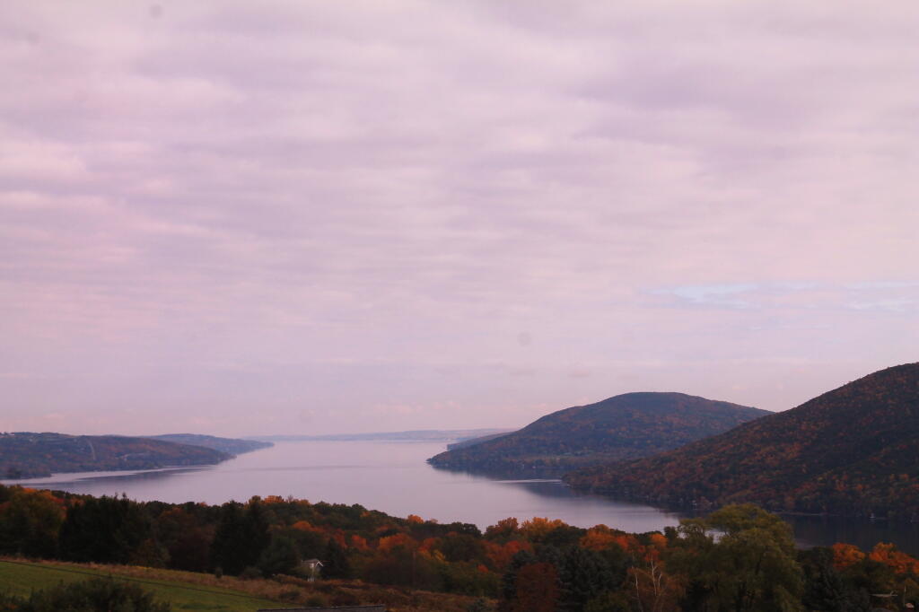
Photo: Canandaigua Lake, Bare Hill, South Hill
Download a JPEG Image of the Canandaigua Lake, Bare Hill, South Hill.
Canandaigua Lake, Bare Hill, South Hill ...
Taken on Tuesday October 15, 2013 at Canandaigua Lake.
More about Canandaigua Lake...
Canandaigua Lake /ˌkænəˈdeɪɡwə/ is the fourth largest of the Finger Lakes, in the U.S. state of New York. The city of Canandaigua is located at the northern shore of the lake and the village of Naples is just a few miles south of the southern end. Travelling west to east in the Finger Lakes region, it is the first of the major, or larger Finger Lakes (or coming from east to west, it is the last major Finger Lake). The name Canandaigua is derived from the Seneca name spelled variously Kanandarque, Ganondagan, Ga-nun-da-gwa, or in a modern transcription, tganǫdæ:gwęh, which means "the chosen spot", or "at the chosen town".
Canandaigua Lake is 15.5 miles (24.9 km) long, 1.5 miles (2.4 km) wide, and has a shoreline of 35.9 miles (57.8 km). Near the northern end is Squaw Island. About fifty percent of the surrounding land is in forest, but most of the remainder is under agriculture. Of 35.9 miles of shoreline, 34.7 miles (55.8 km) (97%) are private and 1.2 miles (1.9 km) (3%) are public.
Canandaigua Lake State Marine Park is located in the City of Canandaigua on the north end. It offers a boat launch for powerboats and fishing access from May to mid-October.
http://en.wikipedia.org/wiki/Canandaigua_Lake
Maps and Interactives
West River of Canandaigua Lake
City of Canandaigua (1995-2018)
Canandaigua Lake
Bare Hill Unique Area
... photos, maps and other content from from Canandaigua Lake.
