Search Results for: photo firetower trail sign

Jessup River Wild Forest

Jessup River Wild Forest is a parcel of lands surrounding the International Paper’s Perkins Clearing Timberlands and Speculator Tree Farm. There are about a dozen informal campsites along Mason Pond on Perkins Clearing Road that are popular, with about 6 of them with direct road access for a small vehicle like a pop-up trailer or a pickup truck with a cap. Only a few of the sites are clearly designated as such, but they all are very well used.

Cleaning Up Site

Significant noise pollution from NY 30 can be heard at some of the sites. There are no outhouses, although there are five gallon buckets people use for toilets. Besides the sites on Perkins Clearing Road in Jessup River Wild Forest, there are also eight designated road-side sites in International Paper Timberlands known as Perkins Clearing, just south of Jessup River Wild Forest.

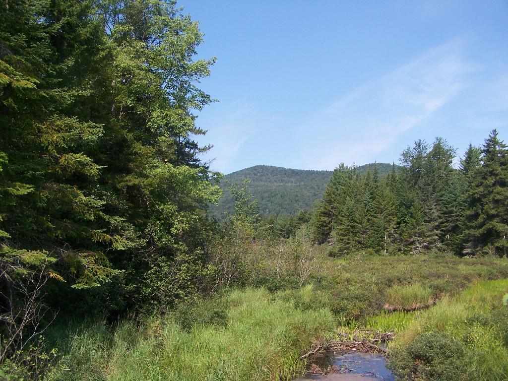
Marsh and Pillsbury Mountain

The following changes are proposed in the Jessup River Wild Forest Unit Managemen Plan.

“Close Undesignated Campsites and /or Restrict Type of Camping. This alternative would propose the removal of user created primitive tent sites within 150 of water or road for environmental or social reasons. Camping structures would be restricted by regulation to “tents, tarps and lean-to’s as required by the APSLMP, thereby eliminating use of travel trailers, “pop-up” style campers, tent trailers, or structures of similar fashion. This option would eliminate opportunities for individuals seeking an easily accessible camping site close to a lake or road. Current regulations allow for camping anywhere in the JRWF as long as the 150 foot set back requirement is met. People would probably still park by the road and camp further in without any controls. This alternative would also restrict opportunities for mobility impaired individuals to access the lake and/or camp on JRWF lands. Therefore, this alternative will not be supported by this UMP.”

“The preferred alternative is to designate sites taking into consideration day use of the area, appropriate existing sites, APSLMP spacing guidelines, and terrain constraints. Because of their anticipated popularity, permits to stay for more than three nights will not be issued for sites in heavy demand during the core camping season. The camping areas at the northwest end of the lake will be closed due to conflicts with day users and environmental constraints. Other sites that are unsuitable or too close to the water will be closed and revegetated.”

“The closure of fourteen sites along with official designation of 10 suitable sites will reduce the amount of camping the area is currently experiencing. When all sites have been occupied, users will be directed to camp elsewhere. The opening of the adjacent IP lands to camping under the conservation easement will accommodate overflow camping. Use levels and site impacts will be closely monitored on the designated sites. If LAC standards are exceeded, the individual site will be closed and/or rehabilitated.”

β€” NYSDEC Jessup River Wild Forest UMP.

Confirmed Roadside Campsites.

Road Number of Campsites
Perkins Clearing Road
at Mason Lake
6 drive-in sites
4 tent sites

Maps.

Jessup River Road

Map of Jessup River Wild Forest. Inset is Perkins Clearing and Speculator Tree Farm Easements. Campsites do not appear on these maps, but they give a general overview of the area.

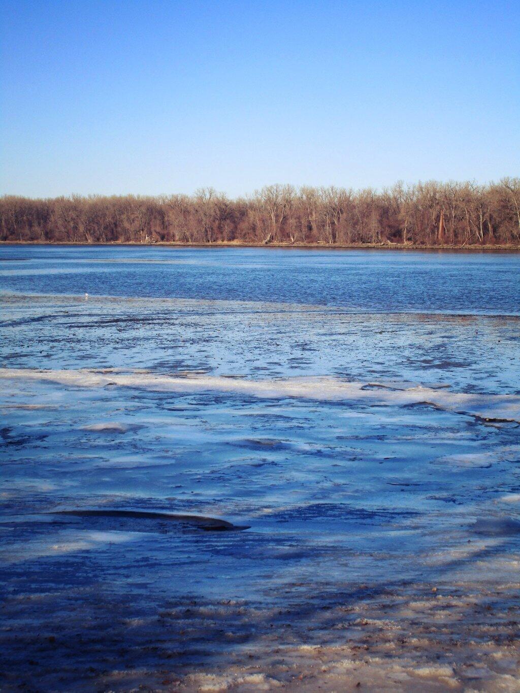
 Some Ice On The Hudson

Map of Perkins Clearing and Speculator Tree Farm. There are 10 campsites designated on these parcels, drive around to find them. Campsites do not appear on this map.

More Resources…

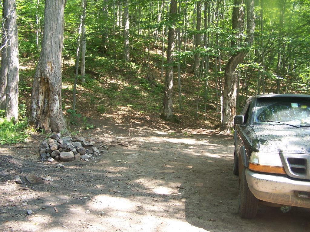
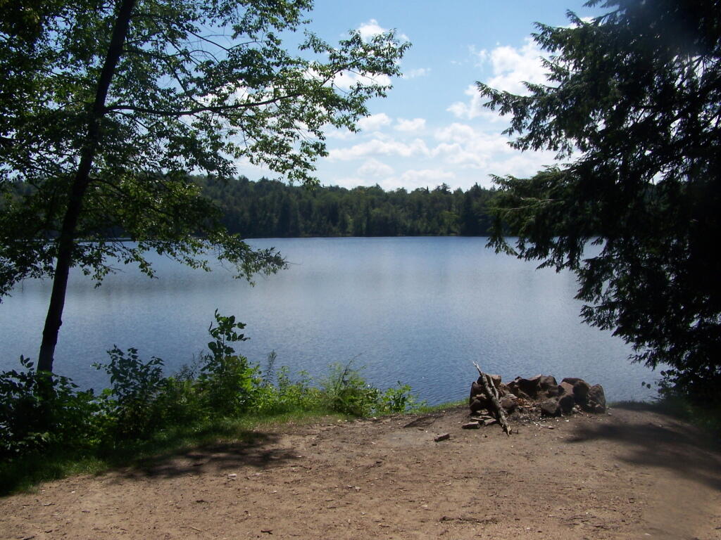
Campsite with a View

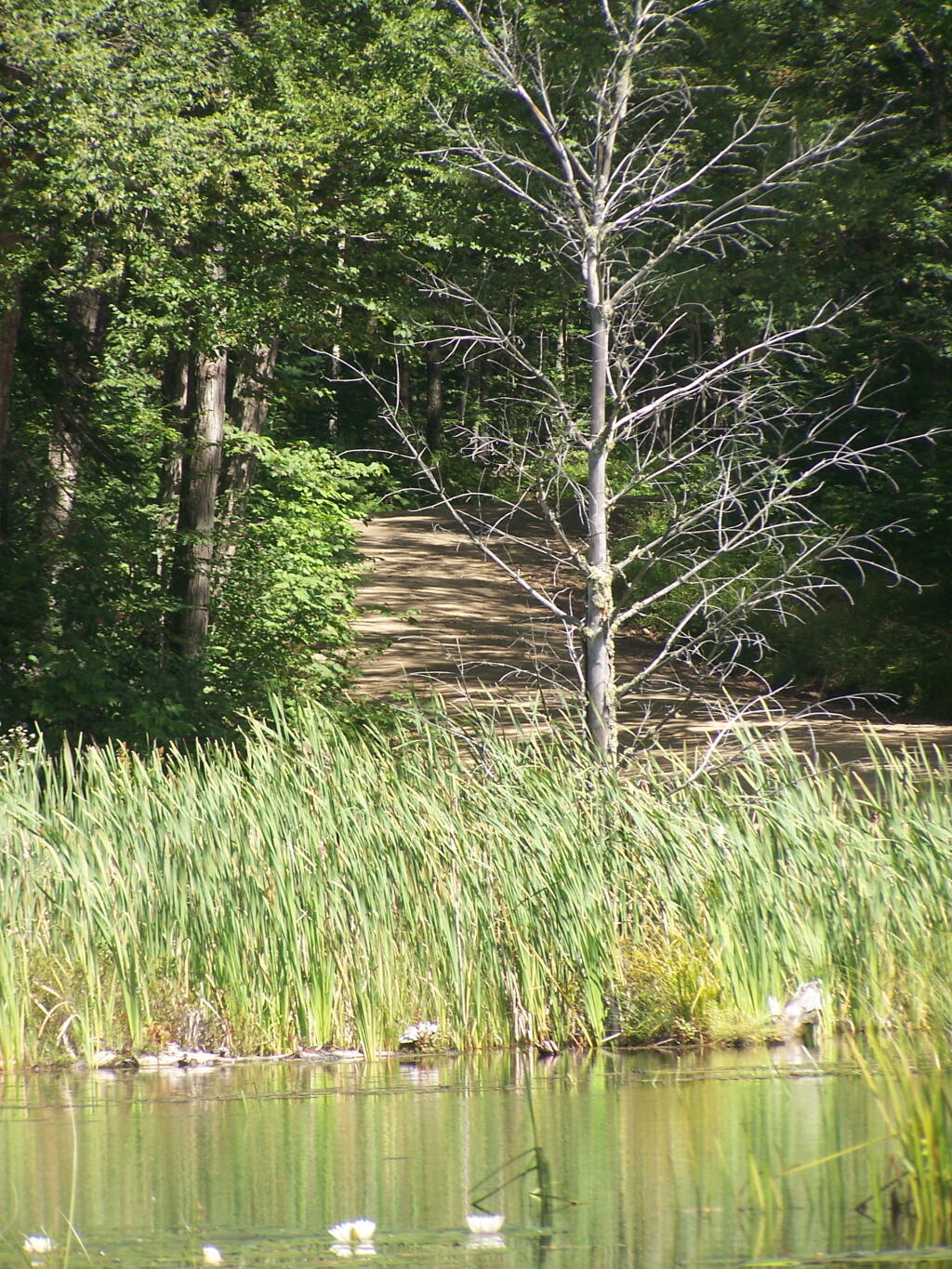
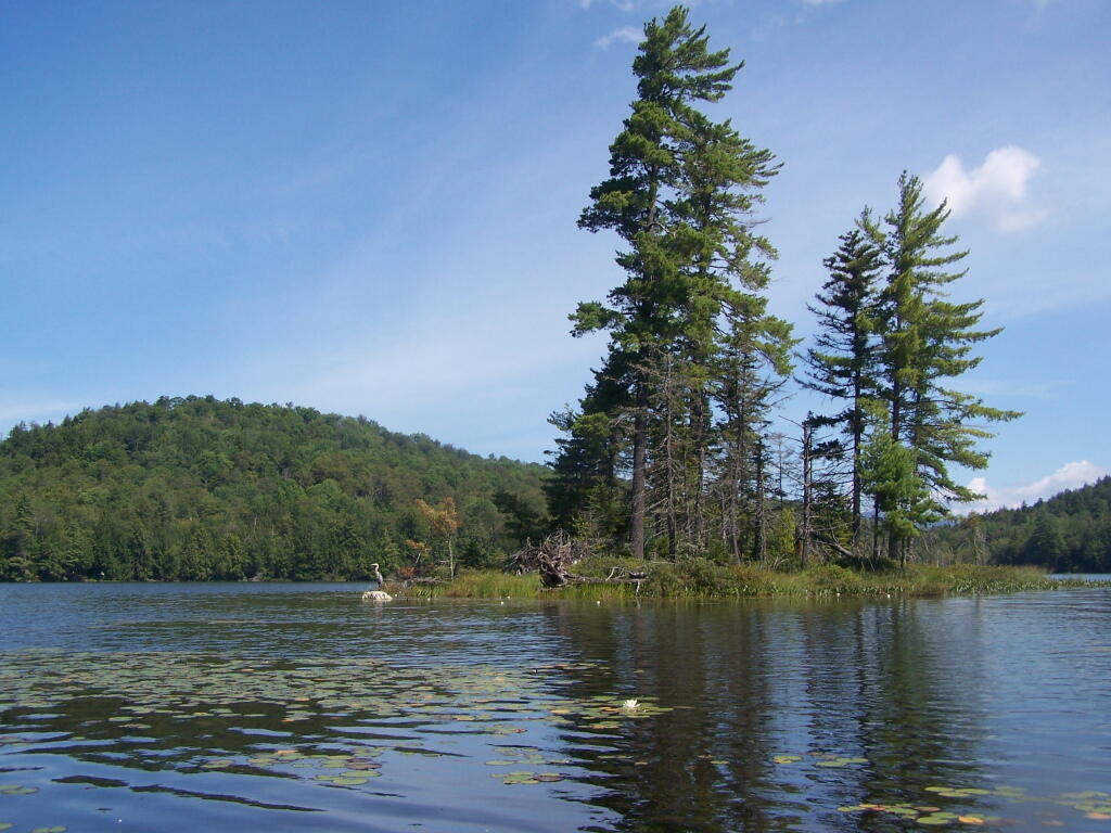
Another Island on Mason Lake

Labrador Hollow

Labrador Hollow is a deep valley surrounded by large hills on both sides. It’s located on the border of Fabius in Ondondoga County (south of Syracuse), and Truxton in Cortland County.

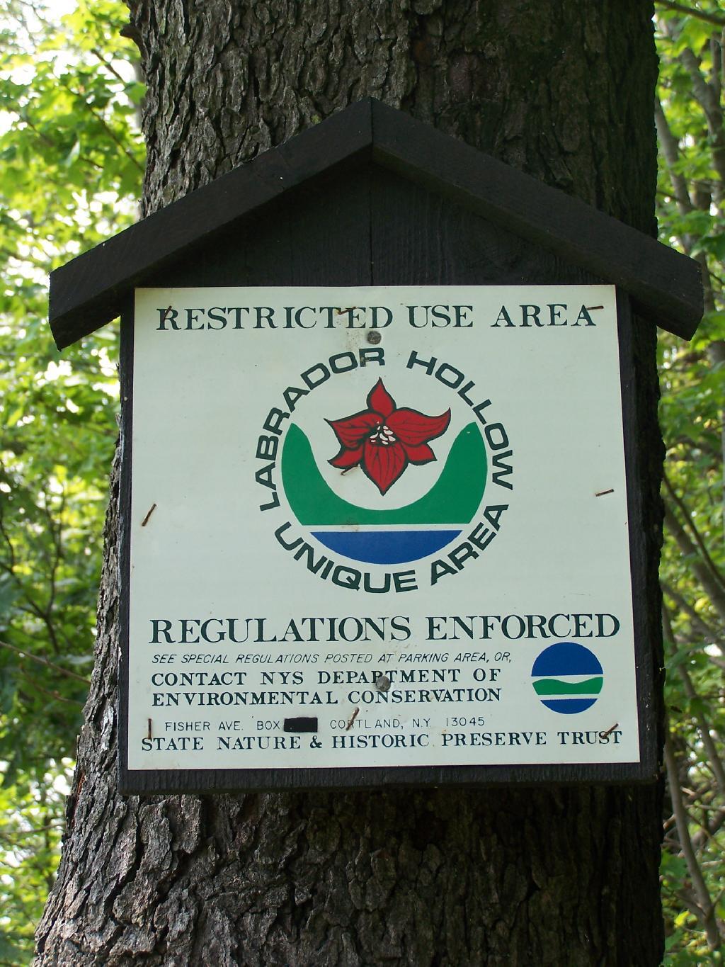
Restricted Use Area

At Labrador Hollow, there are three places you will want to check out:

  1. Labrador Pond
  2. Jones Hill Hang Gliders Cliff
  3. Tinker Falls

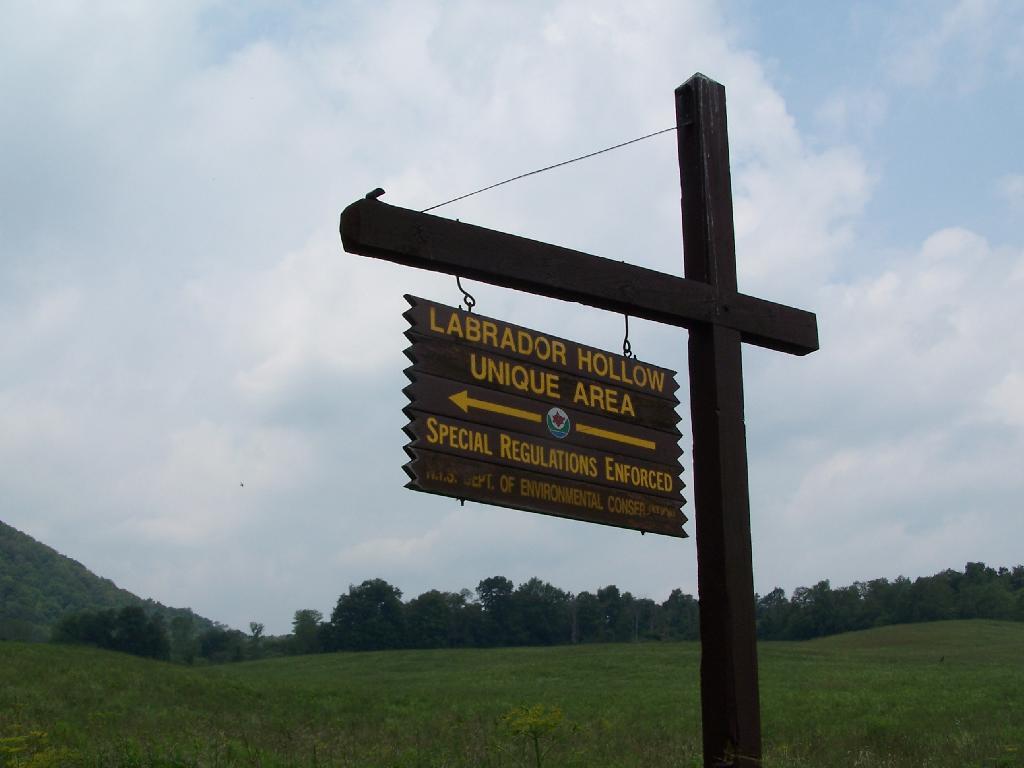
There are plenty of signs to guide you to the Labrador Hollow Parking area by the pond.

Labrador Hollow Sign

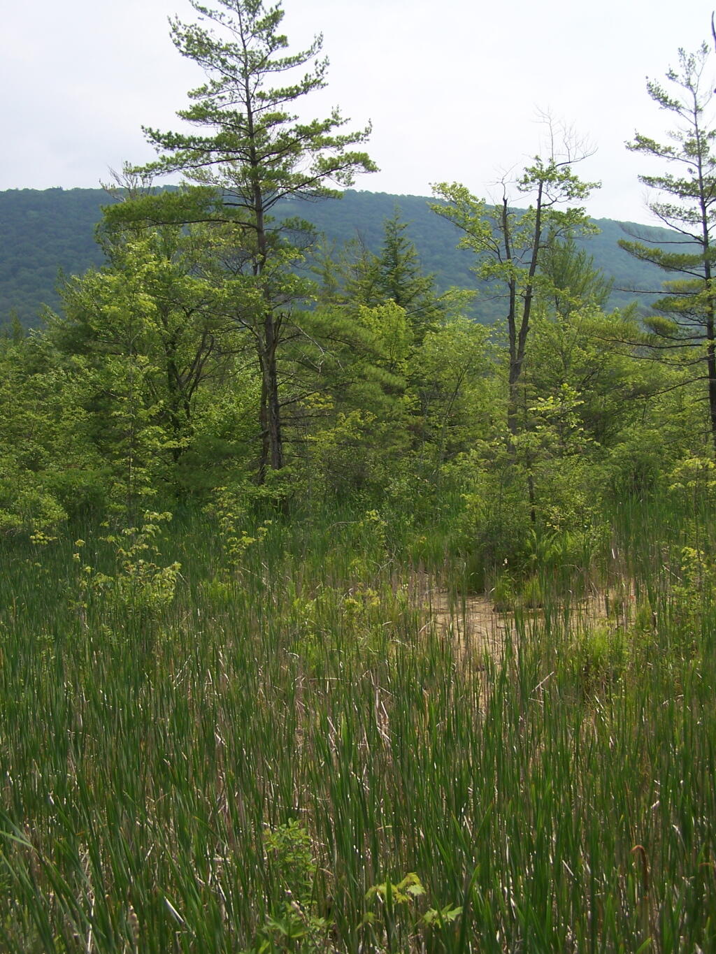
Through the marshy area, there is a 1/4 mile board walk which provides up close and personal views to the unique wildlife of the area.

Marshland

You usually don’t get a chance to be right up in a marsh like this, unless your deep in the mud with your boots, or it’s less grown up and you could paddle a canoe or kyack. So despite being a little out of place, it does give you a unique experience.

Labrador Hollow Sign

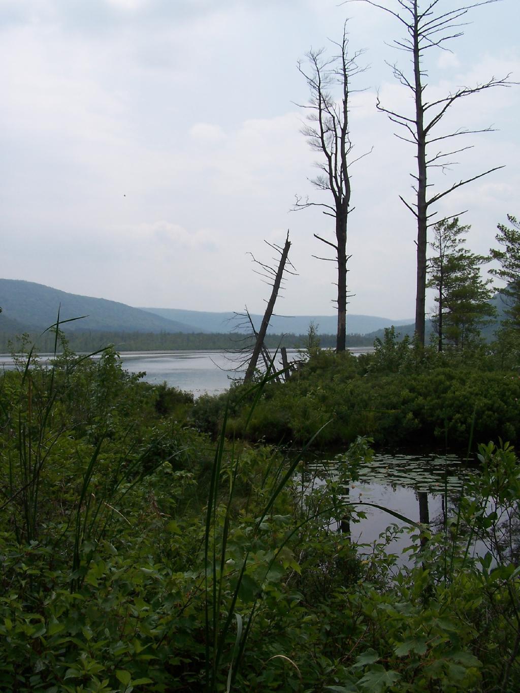
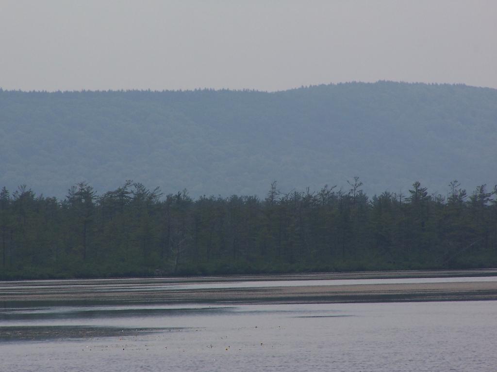
Looking at Labrador Pond through the marshlands.

Labrador Pond

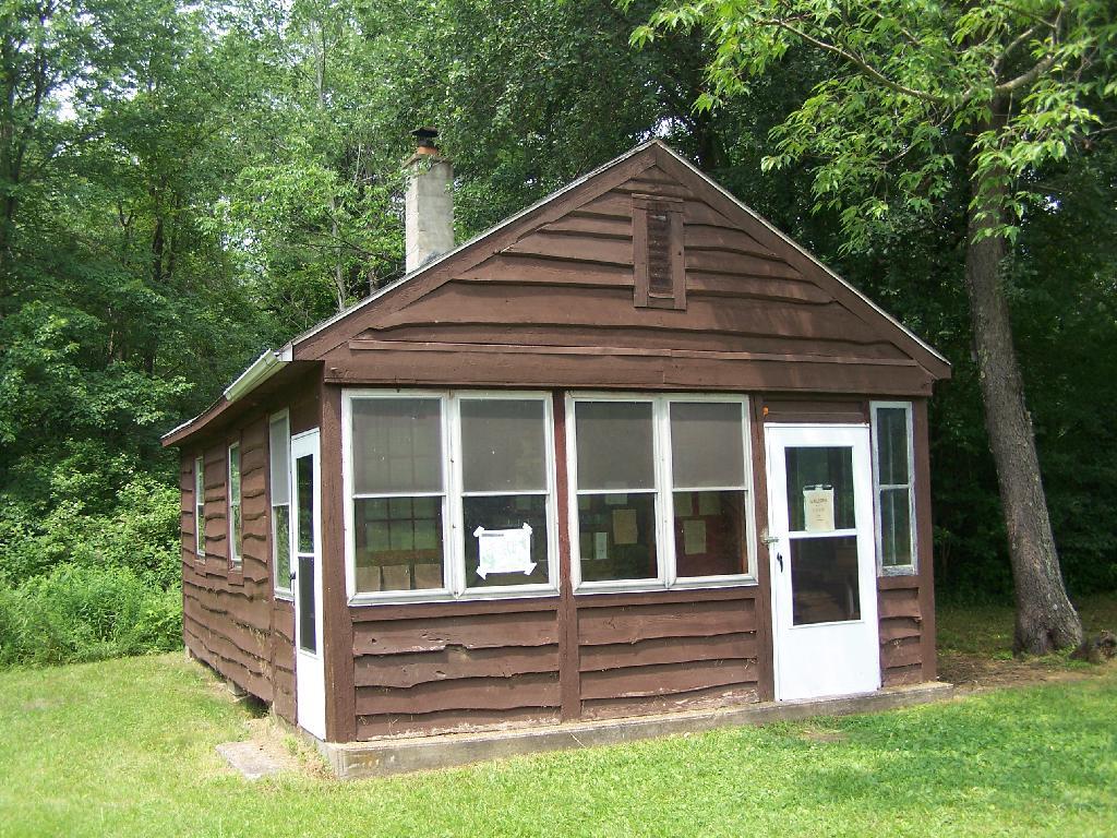
There used to be a firetower on Jones Hill, which is now a nature center down by Labrador Pond.

Relocated Ranger's Cabin

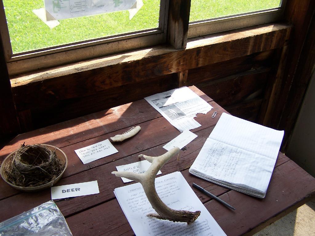
Inside Rangers Station

An open section is mowed, so you can sit dwon by the lake and enjoy the views.

 Clouds Hang Low Over Labrador Pond

Then I drove over to the Kyack/Canoe launch for the pond, on the western side along Labarador Hill.

Clouds Coming In

Besides the kyack launch, there is a series of benches and a boardwalk that extend out into the lake.

Bench on Pond's Edge

Later I drove around to the Eastern side of the lake, then hiked down to Tinker Falls, an accessiable water falls. The trail is an easy 1/4 mile walk that is only slightly inclined.

Looking West on Table Rock Road

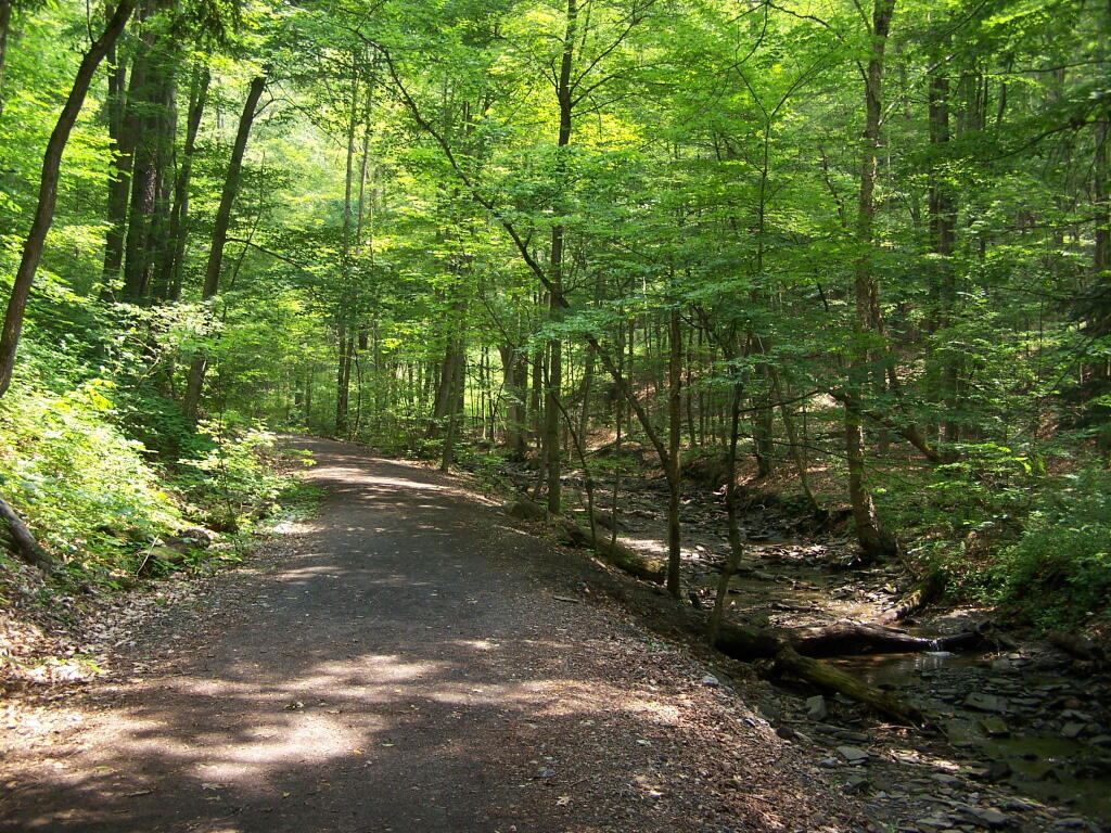
Tinker Falls Trail

The falls aren’t big, being maybe 60 feet at the most, but they are still pretty and simple. I wouldn’t confuse it with Niagara Falls or even the Kaaterskill Falls. By afternoon, a lot of people where playing in the falls, trying to stay cool.

Looking West on Table Rock Road

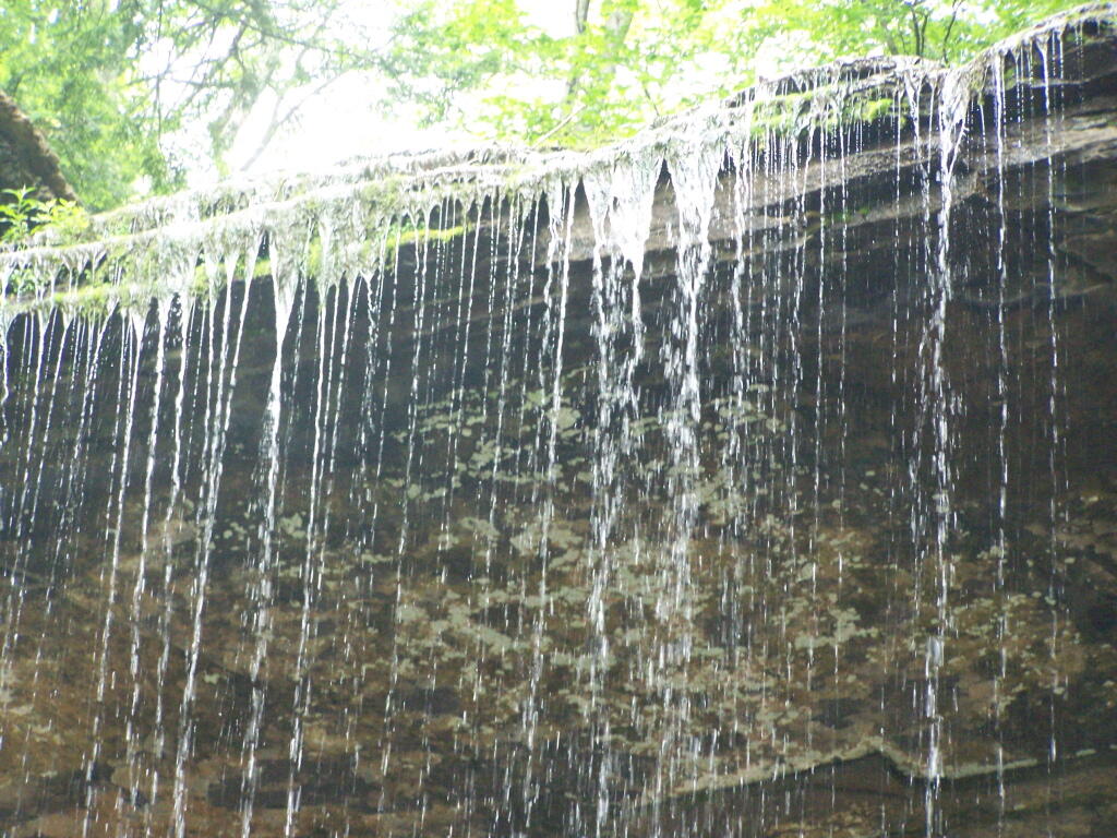
Falling Water

Here is the view from the top of Tinker Falls, accessed from the Finger Lakes Trail or the orange spur to the Finger Lakes Trail.

Looking Over Tinker Falls

I then proceeded to hike up to the Hang Gliders launch spot by the Orange Blaze Connector trail which hooks up with the Finger Lakes Trail. This is route I took, it’s slightly longer and steeper then the old woods road route.

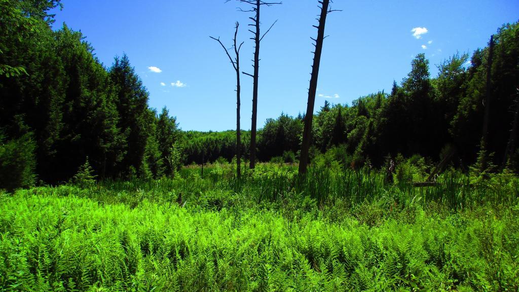
Wetlands

You can also follow the old woods road, which goes directly up to Hang Gliders spot on Jones Hill.

Descending the Trail

Part of the Finger Lakes Trail runs along the edge of Jones Hill, although there aren’t any real views this time of year.

Along the Edge of Long Hill

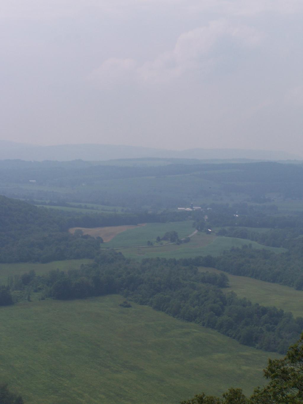
Arriving at Hang Gliders clearing. It was very hazy out, with limited views.

North Through Hollow

Looking down at Labrador Hollow and towards Labrador Hill.

Looking Down at Edge of Pond

Farms in Fabius, with very poor views.

Farms in Fabius

I want to come back on a clear fall day. Maybe this fall I will go back out and explore this area again in the future.

Trees Along Southern Edge of Pond

Here is a map of the hike.


View Labrador Hollow 6-26-10 in a larger map

Mount Utsayathana in Early Spring

Two weekends ago I was planning to go hiking up Huntersfield Mountain, but when the trail conditions and time remaining wouldn’t cooperate, I decided to head over to Mount Utsayathana in Stamford.

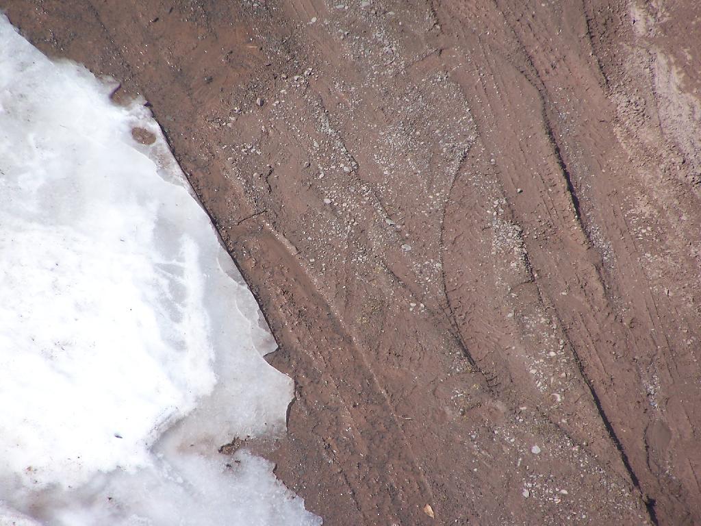
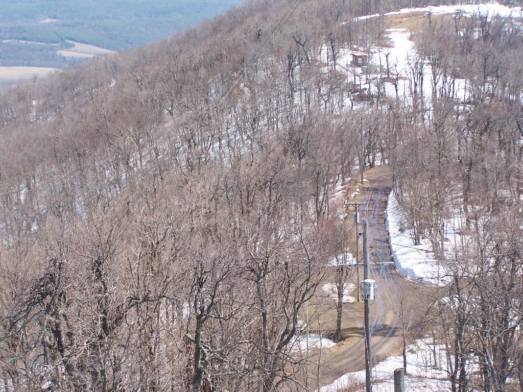
I fully expected to have to hike up the mountain because the steep and narrow truck trail would be unplowed, very muddy, and possibility icy. With the truck trail hanging right along the shoulder of the mountain without guard rail, you don’t want to fool around.

Ice and Mud

Quite to my surprise, it was only a little muddy up top, but the rest of the trail was dry. The top of the mountain had some snow drifts, but it had been plowed throughout the winter.

Truck Trail to Fire Tower

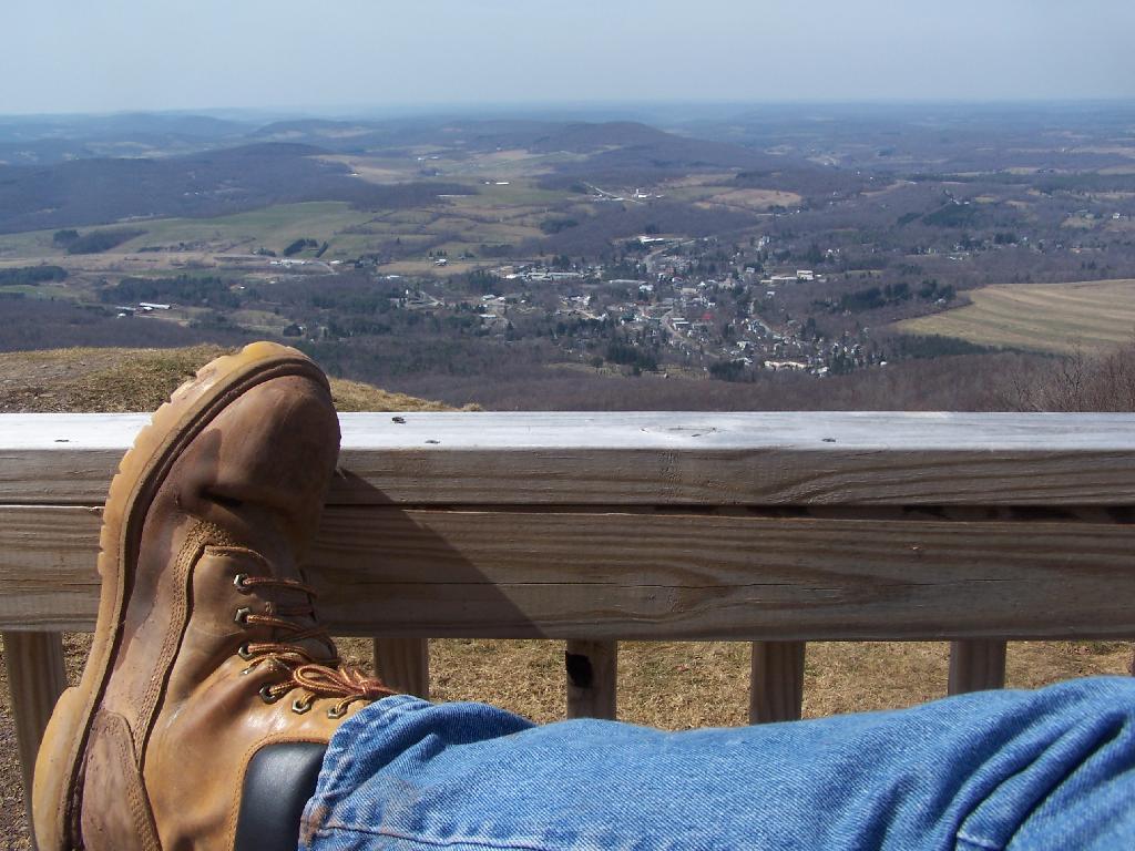
It was a beautiful early spring day out there, looking down at Stamford from the porch of the Utsayathana Mountain House. Things are starting to green up down there, and signs of spring are in the air.

Boot

Walked over to the fire tower, and climbed on up.

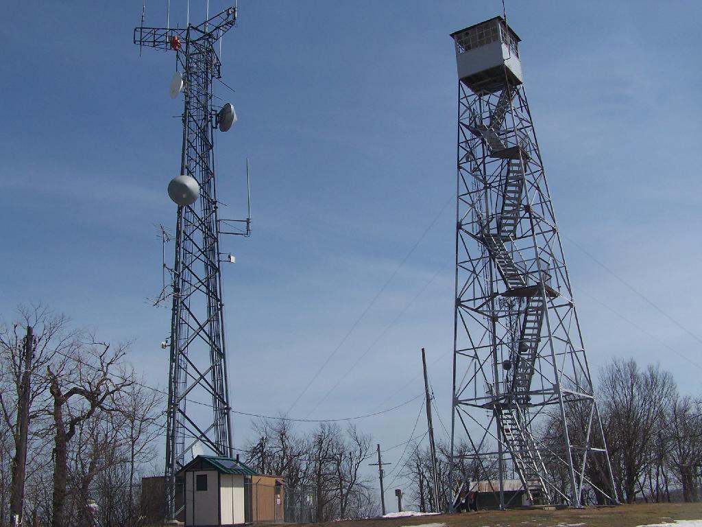
Firetower and Radio Tower

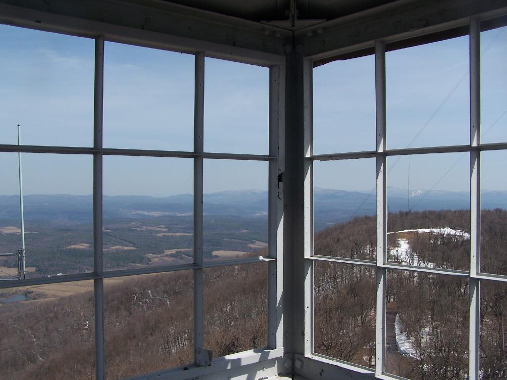
View out of the Firetower windows.

Tower Windows

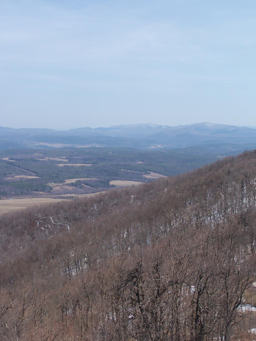
Looking East towards Huntersfield Mountain and the low lands towards Grand George.

East

And the western mountains of the Catskills, and the deep agricultural valleys within in them.

House at End of Township Valley

Towards the North the ridge continues on a little ways to Bald Mountain, then you get into the standard ridged landscape that covers most of Upstate New York.

North

Here is a map.

Do make sure to check out the same great views from when I was up there six months ago in peak folliage of October.

Red Hill Fire Tower

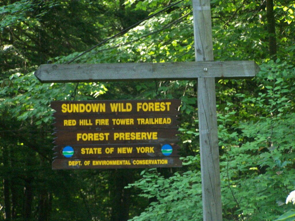
The Red Hill Firetower is on a relatively small in-holding of land by the state of New York that’s part of the larger Sundown Wild Forest. This was the forth Catskill firetower I have visited in recent weeks. I hiked on a beautiful Monday, which I had decided to take a vacation day on.

Red Hill Sign

Red Hill is the easiest firetower to hike up to in the Catskills, even if it’s one of the most difficult to drive from the Albany-area. It is located outside of Grahamsville, about 10 miles North-West of Rondout Reservoir. There is only local dirt roads and windy county roads that run from NY Route 55, which itself is certainly not an expressway.


View Firetowers I’ve Been To in a larger map

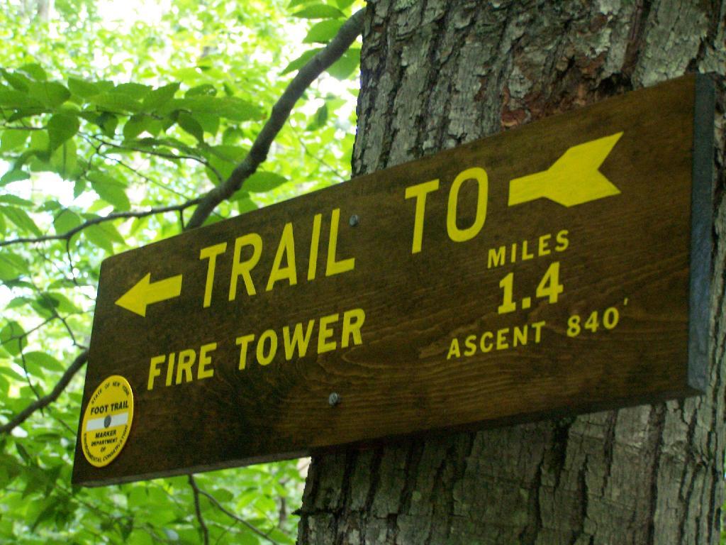
Here is a sign telling you it’s not a tough walk.

1.4 Miles to Firetower

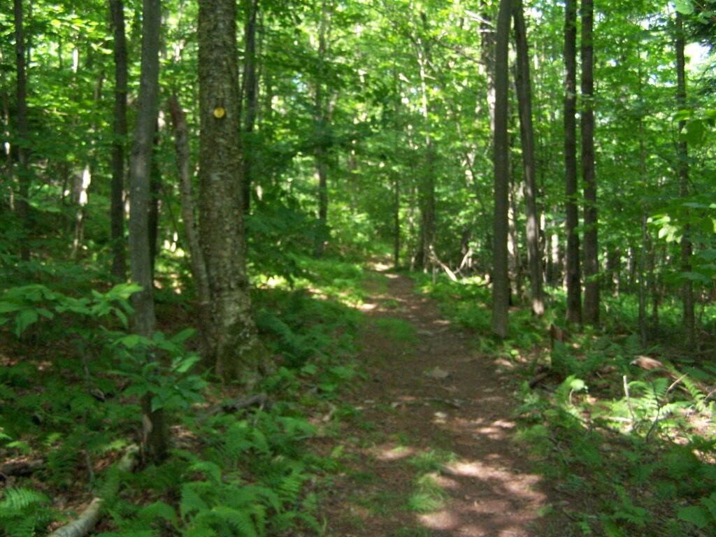
This is typical, relatively flat trail which you walk on for the first 9/10 of a mile.

Easy Walk to Tower

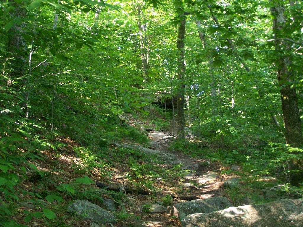
The last 1/2th of a mile is relatively steep compared to the first part, maybe gaining 400 feet in elevation, and you’ll have to stop and breath a few times as you go up towards there.

Steeper Trail

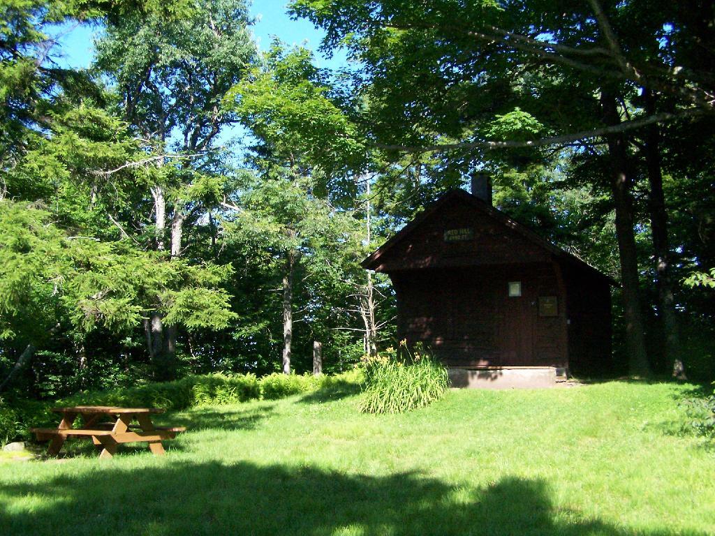
When you reach the top, there is an Ranger Station (open weekends) and several picnic tables. There are big signs saying fires are prohibited due to the fire danger, when the grass is dry. That should be a no brainier, but in the summer and winter, it seems a bit absurd. Must be a bad experience from years ago. There is no outhouse, you’ll have to walk off into the woods to find a place to squat and do your business.

Ranger Station and Pinic Table

This is the tower, directly across from the Ranger Station. It is staffed on the weekends.

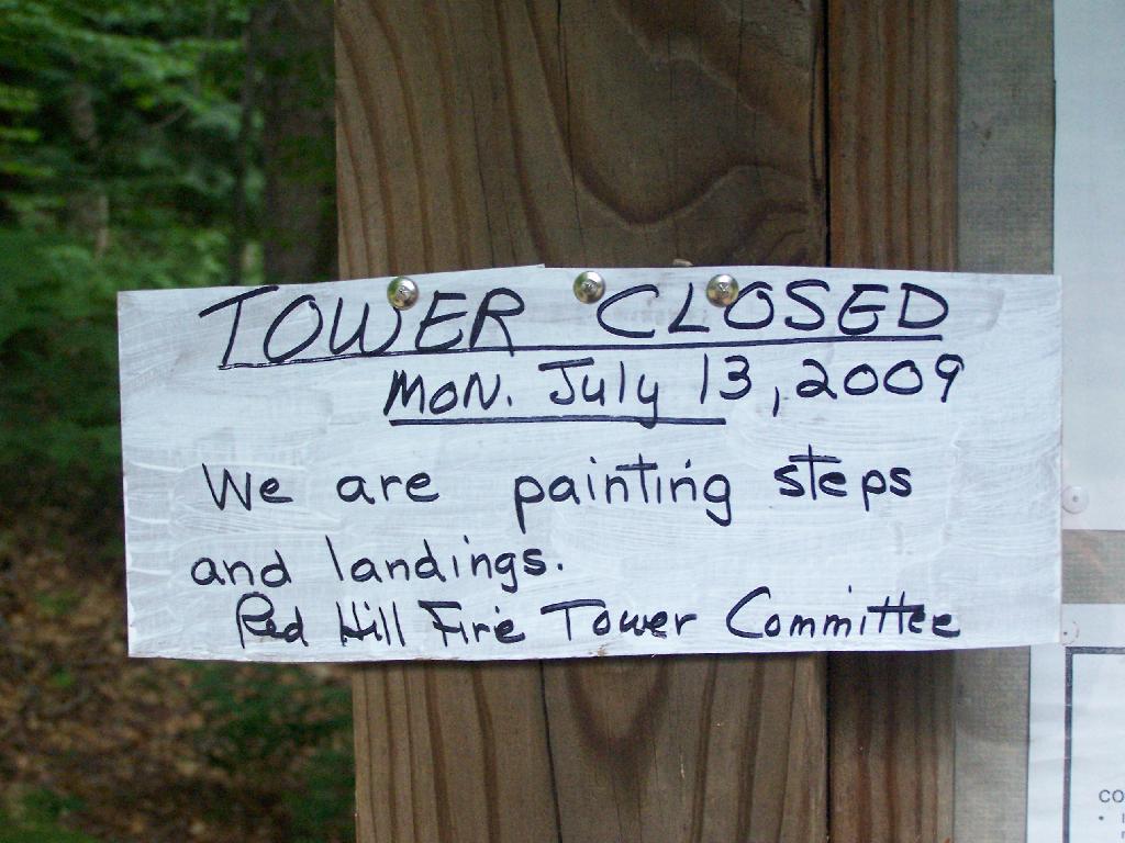
Tower Closed

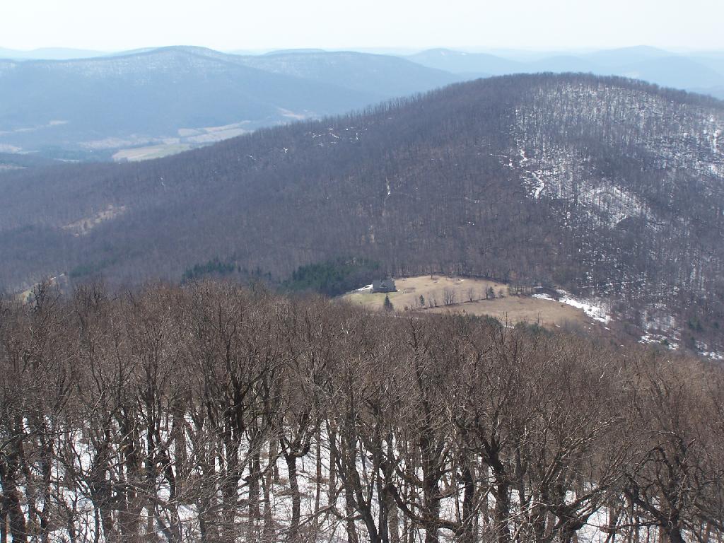
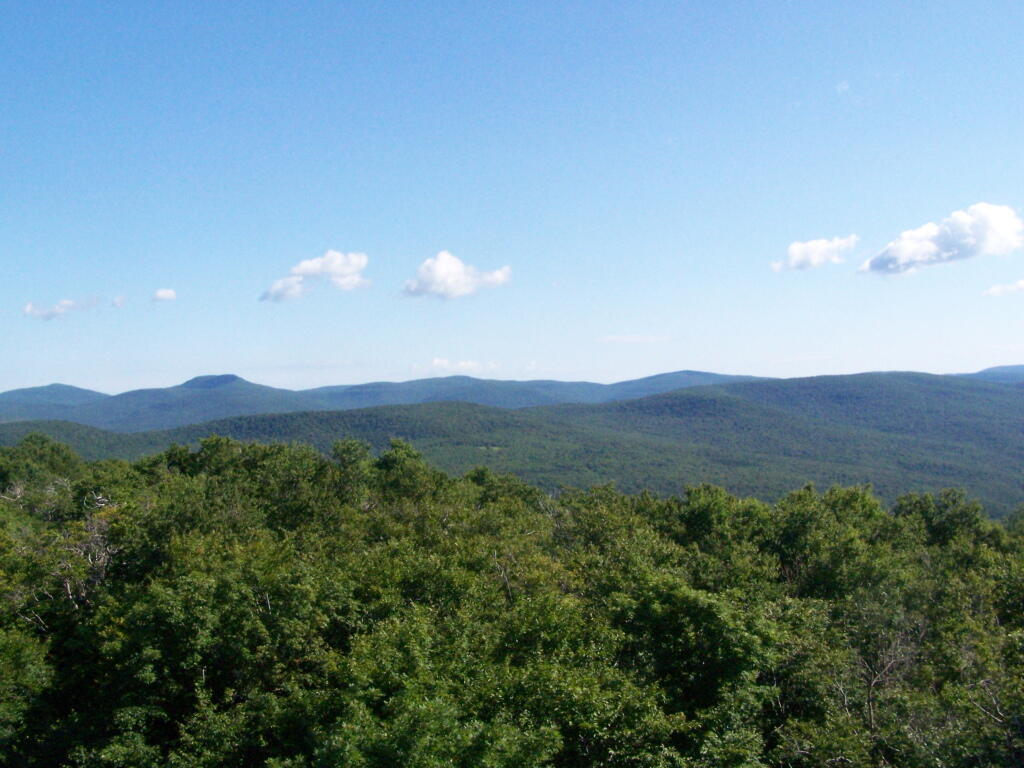
The views aren’t anything to write home about, unless you want to see mountains that are less then remarkable in the distance. This is to the north.

North

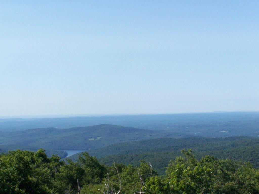
Red Hill is the southern edge of the Catskills, and as you can see looking to the south, the landscape is quite flat.

South of Catskill

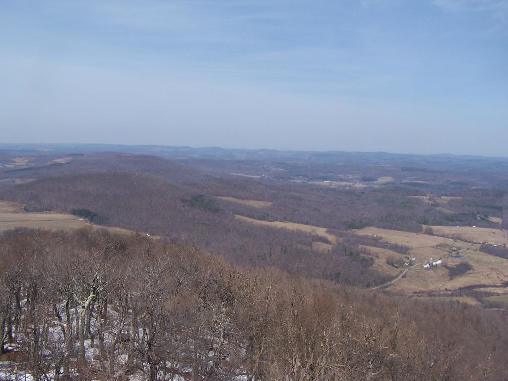
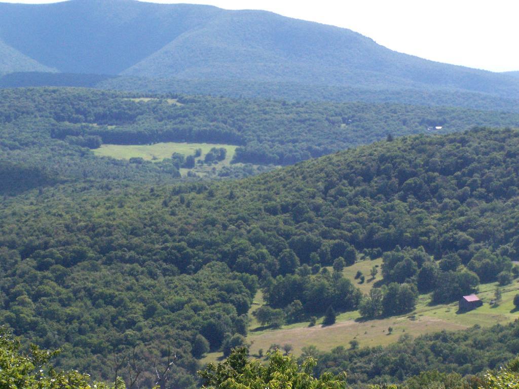
Most of the area around the tower is heavily wooded and owned by either the State or New York City DEP Water. There are a few farms around, especially looking west.

Farms in Valley

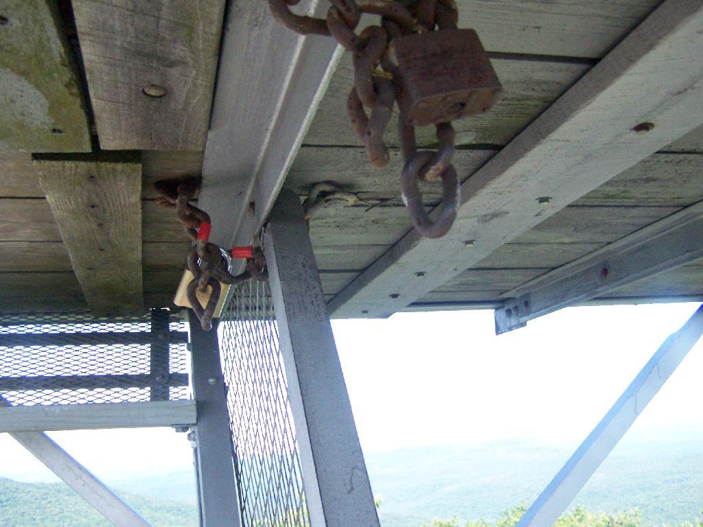
On the weekends, you can go into the tower’s cabin. Weekdays it is closed, supposedly because of vandalism. It’s bullshit if you ask me, because who drives 125 miles into the sticks and hikes 1.4 miles to vandalize an old tower? Mount Tremper is open.

Locked

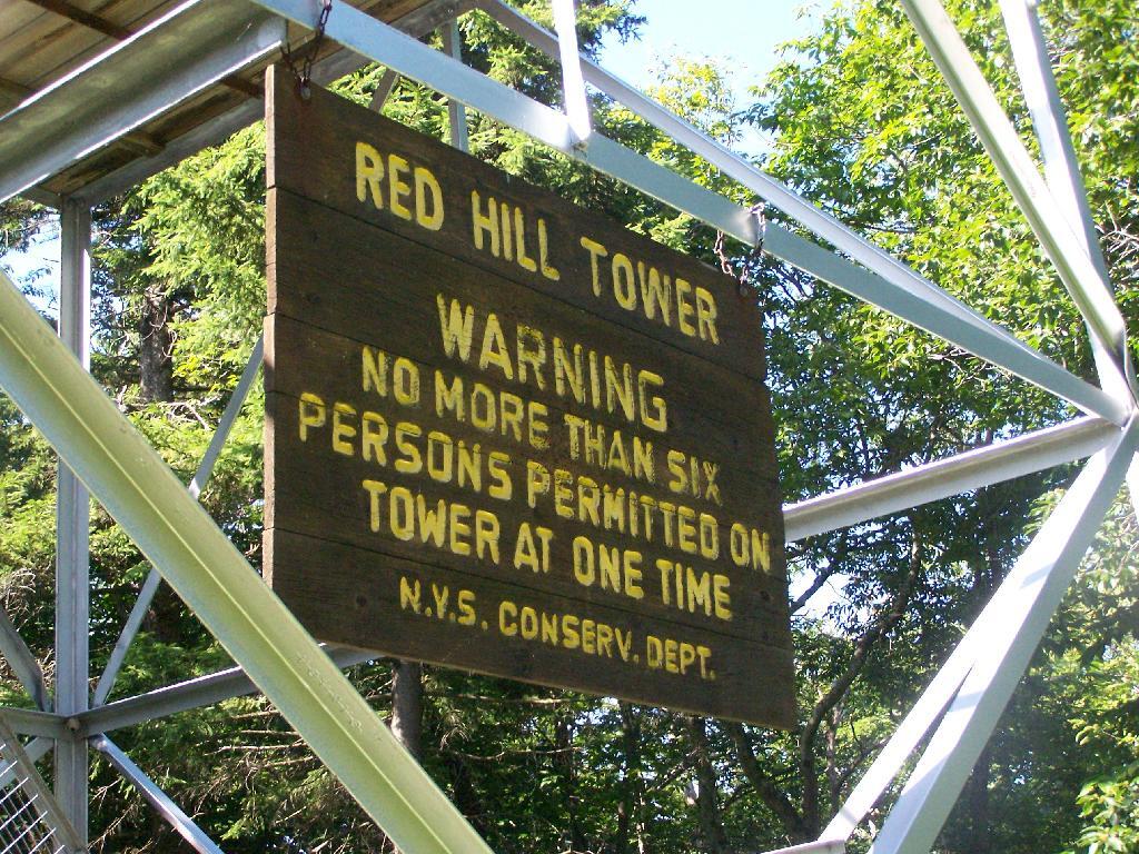
Despite the lousy views (it’s a relative term), the fire tower must be popular, or so the many signs that warn people the tower can only support six people.

Sign

When I was leaving the fire tower I happened to hear an SUV coming up with the former Ranger (now a private individual). They where planning to paint the tower steps on Monday. He offered to unlock the tower, but I was inpatient, and he wouldn’t let me do it with the keys myself. I don’t know if I or him was being more of a dick.

Climbing

After I left, he closed off the tower, because he was painting the steps.

Tower Closed

Here’s a map of the route to the fire tower.


View Hikes of 2009 in a larger map

This gives you an idea of what you see from the tower. Most notably, Doubletop Mountain and Rondout Reservoir. Nothing really super impressive though, just mountains and very little civilization in this rural part of Sullivan County.


View Firetowers I’ve Been To in a larger map