Search Results for: "Map:" Rain
You can see the rain to the west
But so far we've remained dry, and hopefully that will be the case for a good portion of the evening.
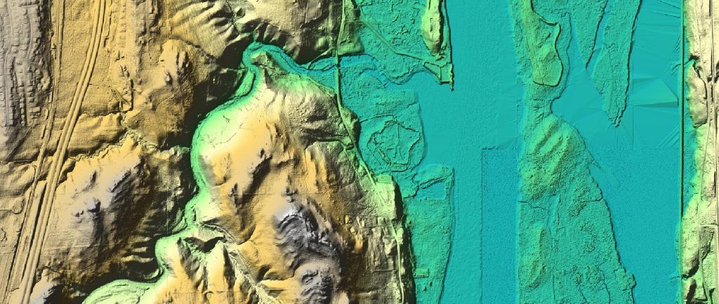
Hannacroix Ravine LiDAR Rendering
This rendering of the Hannacroix Ravine using LiDAR elevation mapping came out super neat.
Looks like the rain is done for now
Hopefully I will be able to get my steps in after I get home.
Waterbury Gap
LiDAR – Crossgates Maul And Blueberry Hill
With the proposed development at Crossgates Maul, I was interested in looking at the terrain of the area. There is definitely part of a dune remaining in the portion that Crossgates plans to donate to the Commission, and along the backside of Gipp Road. Interesting.


