Search Results for: "Map:" Rain
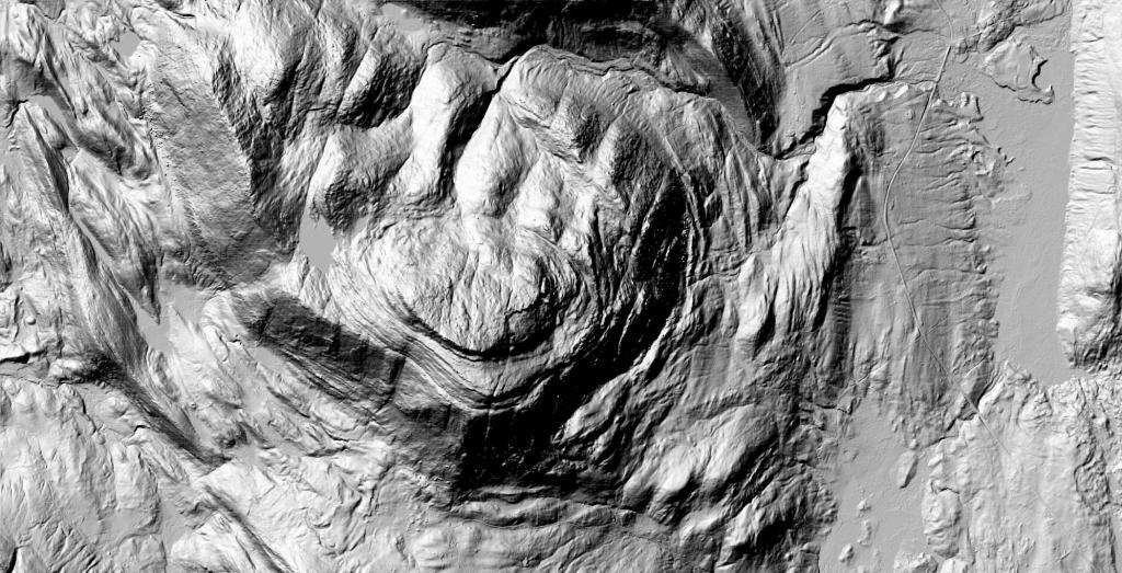
Crane Mountain
Except for a small cut for Ski Hi Road, most of the Crane Mountain remains free of cut and fills, dumping, and changes to the terrain they are so common on most mountains as mankind reshapes the landscape.
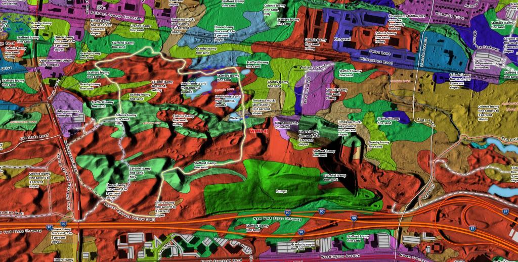
Pine Bush East Barrens Soil Map
Lately I've been experimenting with soil mapping data, and made this map of the Pine Bush East Barrens in Albany.
Normans Kill Gorge LiDAR
This LIDAR hill shade shows the Normans Kill Gorge looking west with all of the many road beds and crossings that make up the South End of Albany.
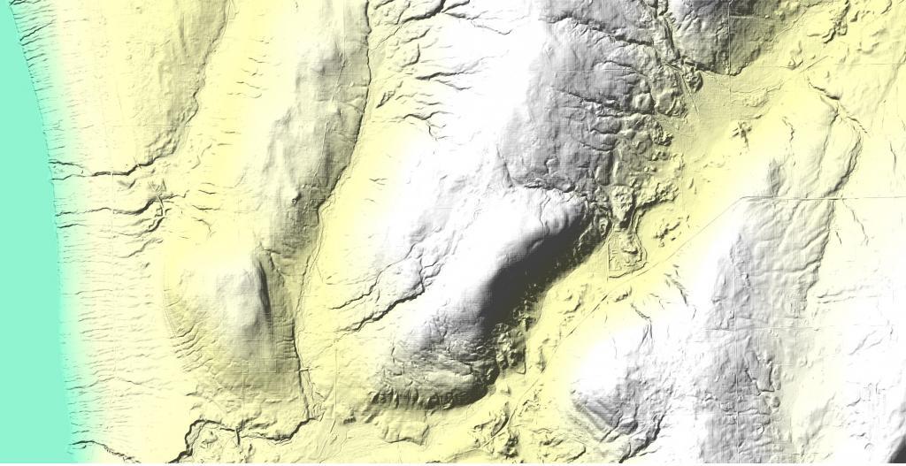
Burnt Hill
Burnt Hill at Finger Lakes National Forest is a high hill overlooking Seneca Lake with some notable gorges carved into it's sides.
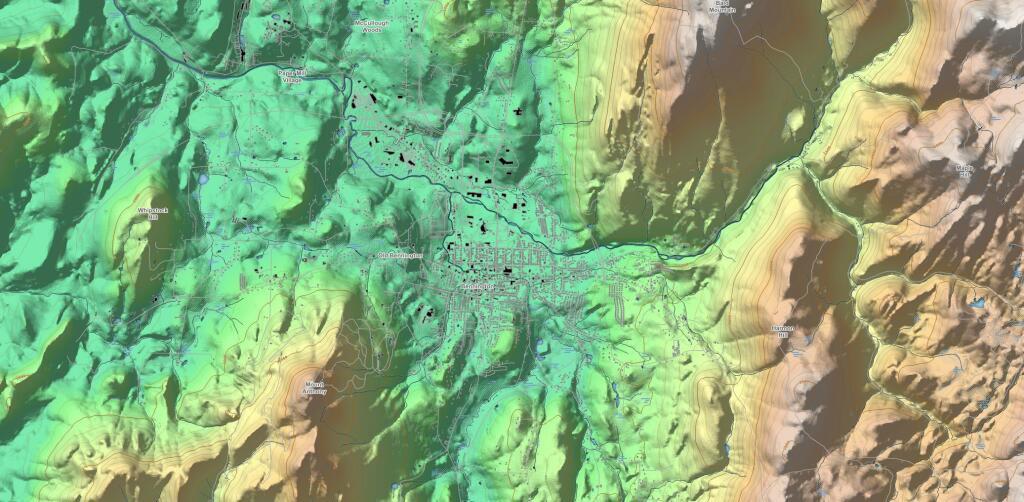
Bennington
A Break in the Rain
Had some rain earlier then it stopped. But I'm sure it will be back.
