Search Results for: "Map:" Rain
Ashokan Reservior
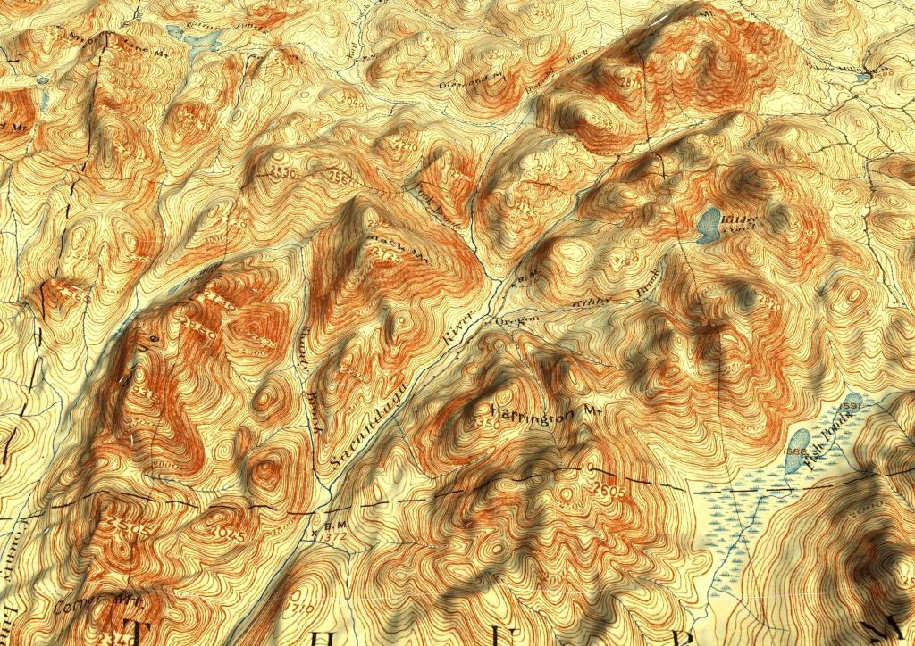
East Branch Sacandaga River
A 3D rendering of the the 1893 Thirteenth Lake Topographic map.
Old Drainage Canals from when the Bad Indian Swamp was used for Muck Farming
The old filled in area for the former Watkins Glen Airstrip can be seen the left.
Plattsburgh
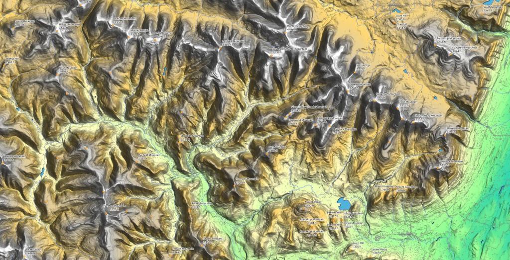
Woodstock Area Peaks
A look at the terrain of the Catskill Mountains around the Woodstock and Shandakken region of the Catskills.
