For the first day of spring it was around 65 degrees and sunny. The forecast promised only to get down into the upper 50s. The snow was gone in Albany, but in the mountains there was several feet. A top Cotton Hill, there was about two feet of snow.
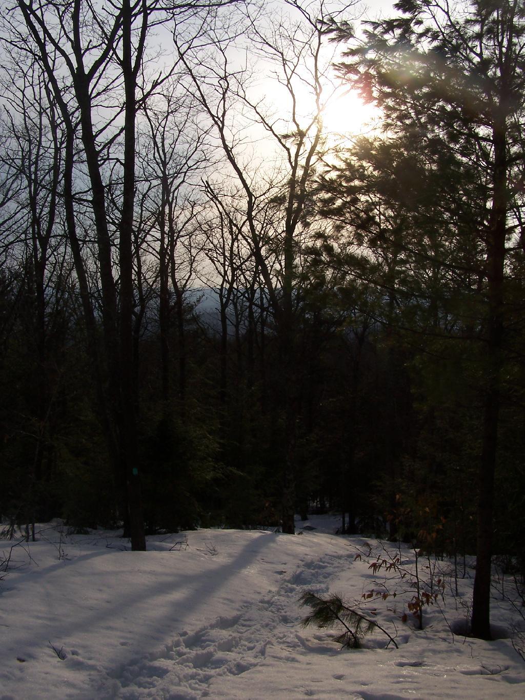
Amazingly enough when I got up there, I was the only person who had been up to the lean-to since the last snow storm, probably two weeks ago now. It was very quiet except for the sounds of nature, from the snowy owl to the churbing robins.
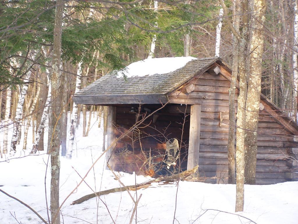
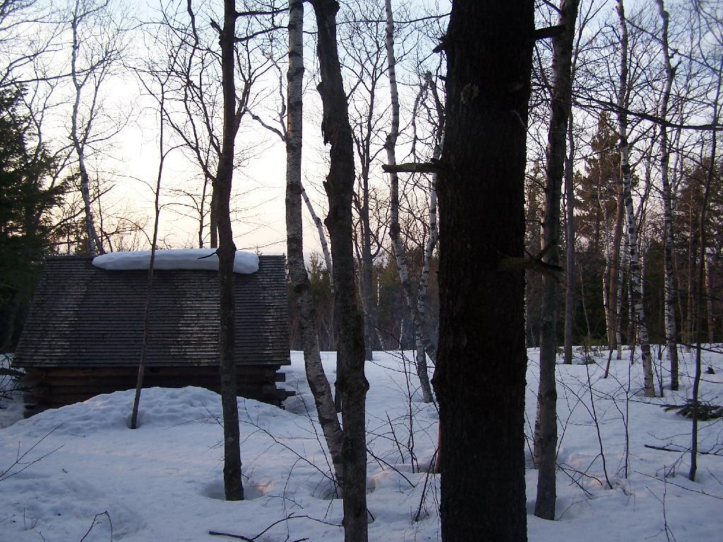
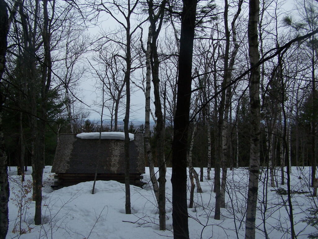
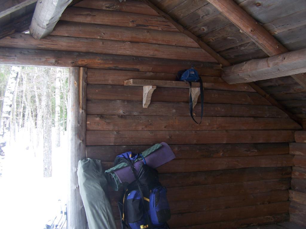
Reaching the lean-to, with gear all set up for the the night.
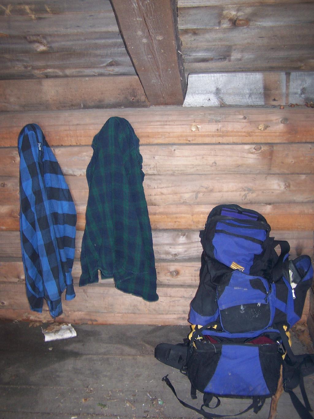
My backpack, and flannel shirts.
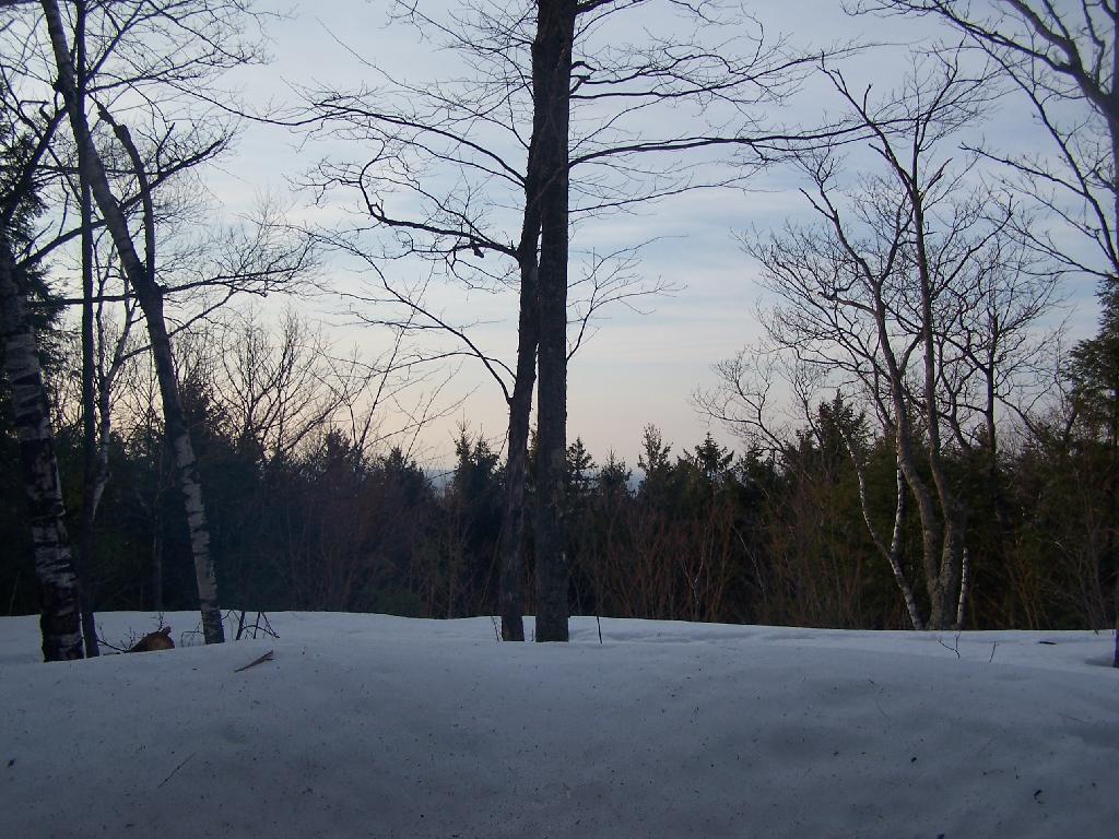
Sitting in the lean-to, looking at the setting sun. At the front of the lean-to, snow had melted off the roof, and was piling up in the front, creating a snow berm, keeping cool drafts away. Ironically, at this point due to the warm weather, I was sitting in a t-shirt and no jacket on.
As I enjoy a nice a fire.
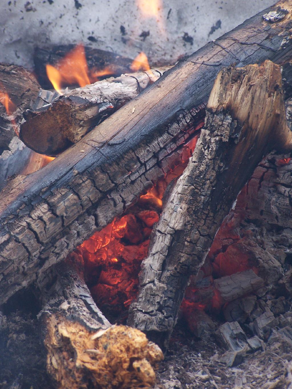
And night rapidly approaches.
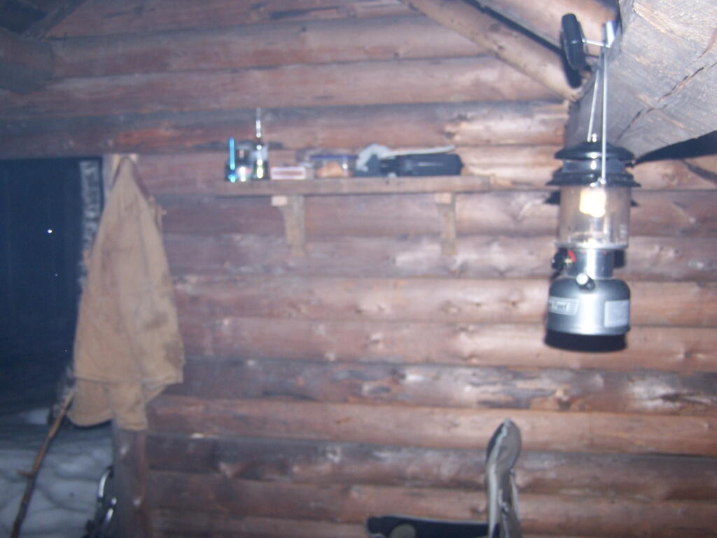
At times it was a bit smokey in the lean-to, as I played on my cellphone, jotted down some notes, read some books, and just enjoyed the first night of spring.
It was a nice night. When I woke up, it was a gray cloudy morning and I made up some breakfast and got cleaned up.
And I packed my bags…
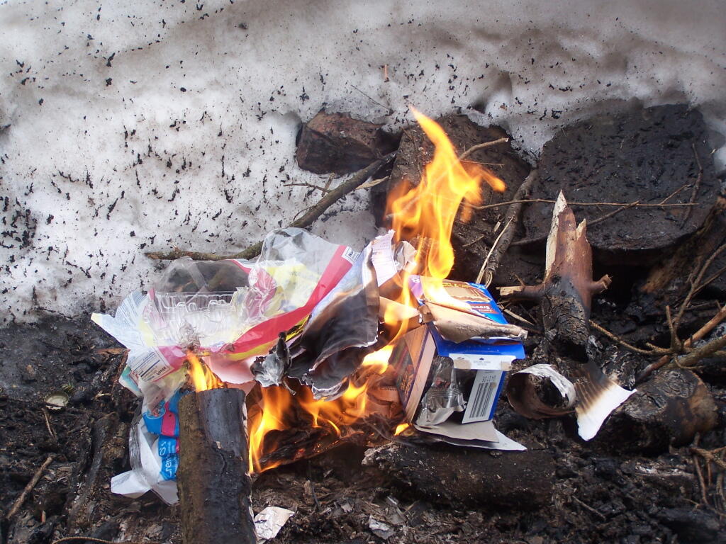
Burned my garbage from the past night…
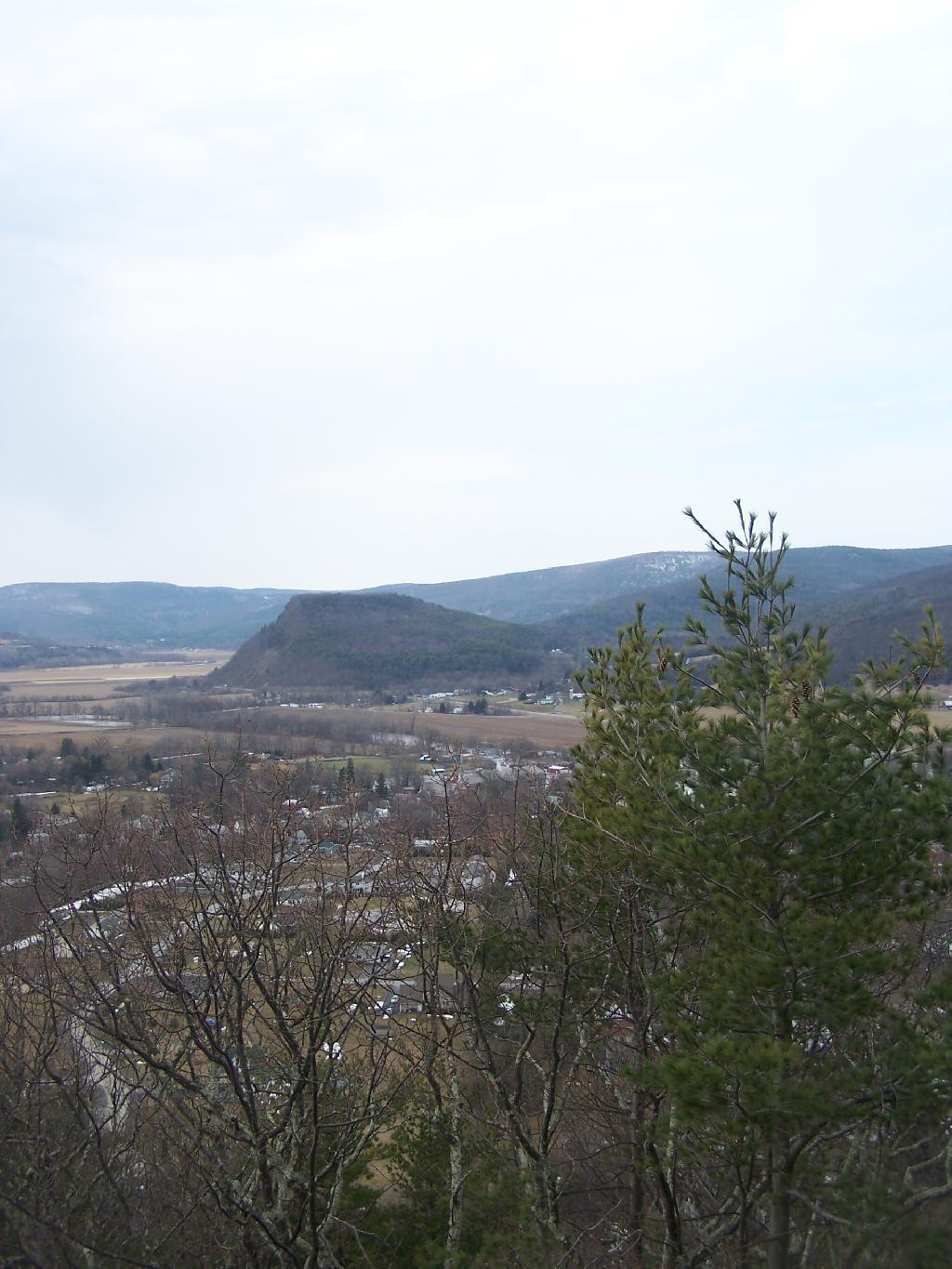
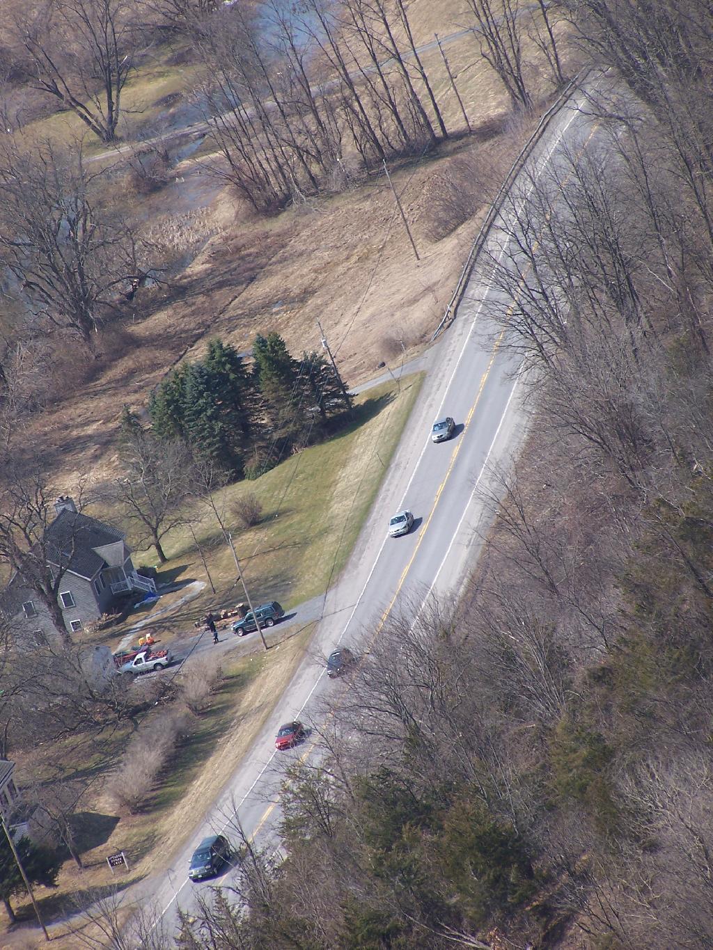
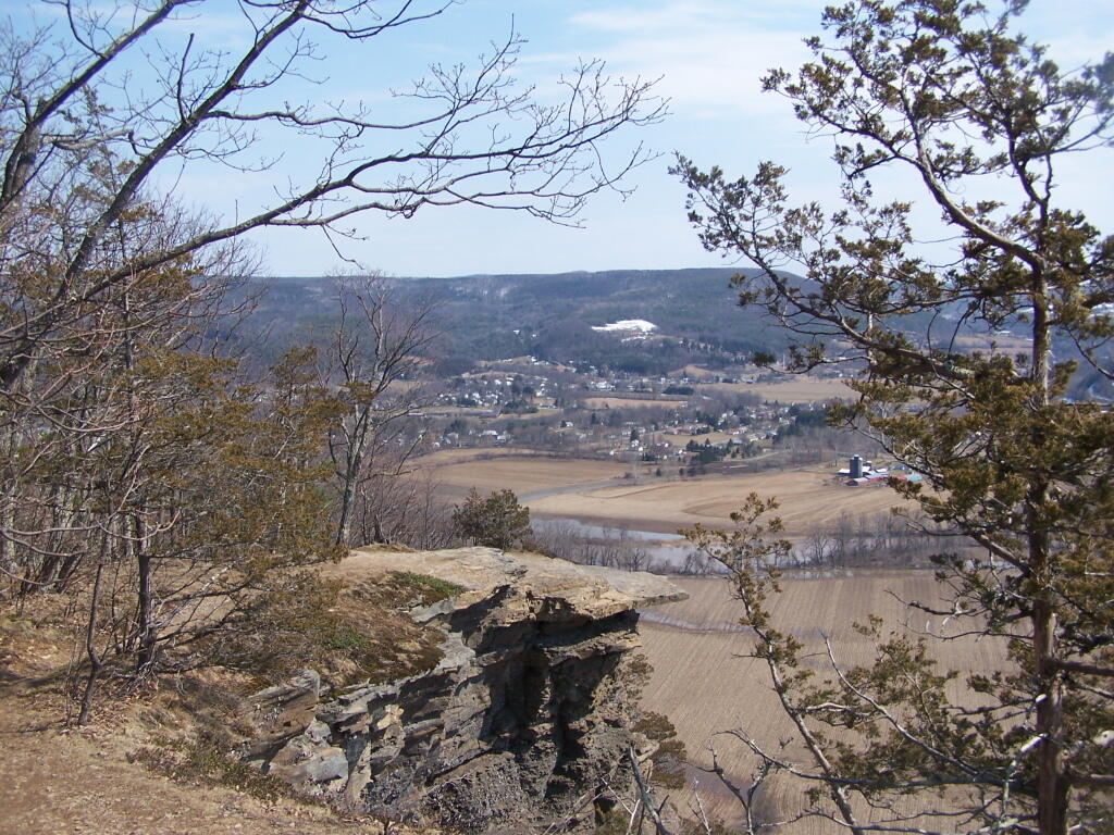
And off I went, down to the truck, then off to Middleburgh Cliff. Here is a map of where the lean-to is.
View Cotton Hill Lean To in a larger map