Search Results for: map rim rock trails

Allegheny National Forest Dispersed Camping and Pennsylvania DNCR Motor Vehicle Camping

Allegheny National Forest Dispersed Camping and Pennsylvania DNCR Motor Vehicle Camping πŸ•

Please see also information on dispersed, roadside and back-country camping in New York State, Vermont and West Virginia.

Allegheny National Forest Dispersed Campsites (shown on this map with a round Yellow Camp logo) are free-to-use with a 14-day stay limit in any 30 day period. Many of these campsites are informal areas used for camping, others like along Forest Road 160 and 259 near Jake’s Rocks and along Lolita Grade have enhanced gravel pads/parking areas. Unlike New York State, they do not have formal markings at the sites. More detailed map.

PA DCNR Motor Vehicle Campsites (shown on this map with a Blue Camp logo) are free to stay at with a permit which can now be obtained online, 3 days in advance.

Download a spreadsheet with the coordinates of Allegheny National Forest Dispersed and Motor vehicle campsites.

More About Allegheny National Forest Camping …

In the Allegheny National Forest there are a variety of back country roads, offering primitive roadside camping.

  • Campsites are free to use, and have no facilities except for a fire ring and a pull-off from the road, and sometimes a site reinforced with gravel.
  • As noted below, some campsites have additional facilities.
  • Don’t make a mess of campsites, pack out any garbage left over.
  • Burn only dead and down trees, don’t bring in wood from out of state.
  • You can camp up to 14 days per 30 day period in Allegheny National Forest — no permits are required.

Forest Road 160/259 is the most popular dispersed camping area near Jakes Rocks and the Allegheny Reservior. Above are some campsites in this area. Many of these campsites have gravel parking areas and hardend campsites.

Forest Road 160 Camping

Before Dark

Sitting Next to the Campfire

There are several campsites along Loleta Grade, south of Lamonaville (FR 131).  This is on the backside of Buzzard Swamp Wildlife Refuge, and is a much more wilderness experience. Many of these campsites have gravel parking areas and hardened campsites. Some of the campsites along the Gurgling Run can be buggy during the summer month, but get much less use then the Jakes Rocks area. Be aware that Forest Road 131 from Loleta Recreation Area to Forest Road 288 is permanently closed due to damage after Superstorm Sandy.

Camping with Lots of Light

Good morning from camp!

There is a handful of campsites along Fire Road FR 137 along the Dry Run and Whitney Creek near the Willow Creek ATV Area.

2020 State Population

Sitting Next to the Campfire

There are a handful of campsites along the East Tionesta Creek south of Kane/Shefield.

Another Campsite on Tionesta

Tionesta Creek Campsite

There are many other roads that have camping but these are some of my favorite locations.

More About DCNR Motor Vehicle Camping …

On Pennsylvania State Forests there are a variety of back country roads, offering primitive roadside camping.

Camping Down at the Painter Run

Camping at Painter Run

I have not done a lot of DCNR Motor Vehicle Camping, but above is a picture from 2012 when I spent half a week truck camping at Painter Run in the Tioga State Forest near the Pennsylvania Grand Canyon. There are many other opportunities as can be seen above, if you plan ahead and get your permit.

Also, see the DCNR Interactive Map if you are interested in fee campgrounds. They have several “rustic” campgrounds which are inexpensive at $10 night, and do not require reservation. These are traditional campgrounds with hand pump water, pit privies and no electricity but often are well maintained and quiet — although the campsites aren’t spread out like back country camping. Many of these campsites are lightly used off-season and are often a good place to spend a night when traveling. 

Allegheny National Forest Dispersed Campsites are free-to-use with a 14-day stay limit in any 30 day period. Many of these campsites are informal areas used for camping, others like along Forest Road 160 and 259 near Jake's Rocks and along Lolita Grade have enhanced gravel pads/parking areas. Unlike New York State, they do not have formal markings at the sites. More detailed map.

PA DCNR Motor Vehicle Campsites are free to stay at with a permit which can be obtained from the local DCNR Forestry office (click on the black dot) during ordinary business hours or by emailing/calling their office with your license plate and contact information.

Camping Areas in Southern Adirondacks

Camping Areas in Southern Adirondacks β›Ί

East Branch of Sacanadaga River, NY 8 – Roughly 10 campsites along NY 8. These are easily accessed throughout the year, as the road is plowed except when the snow banks are high during the winter. East Branch is not good for fishing due to wide variance in water levels, however there are some nice pools in sections of river for summer swimming. Lots of road noise. Some of the sites have cell service. Nearby locations include Cod Pond, East Branch Trail and Kibby Pond Trail.

Edick Road – There are a handful of very hidden campsites off of Edick Road. This road may be closed to vehicles due to wash outs autumn 2019, but worth a walk to explore this area.

Fawn Lake – A 1/2 mile hike back to a scenic lake ringed by primitive campsites outside of Lake Pleasant. Two miles beyond it is the scenic Willis Vly, which doesn’t have developed campsites but it’s remote wilderness where you might see a Moose or other wildlife.

Garnet LakeTent sites, some with drive-up access along the lake. No cell service, much of the upper road here is not maintained in the winter. Popular in the summer, no cell service.

Good Luck Lake – Scenic lake off of the West Branch Sacanadaga River that is ringed with tent sites that can be walked in from the Good Luck Lake parking area area or paddled in.

Hope Falls Road – Two or three campsites along the end of Hope Falls Road, some are drive-in only tent sites. Near the Tenant Creek Falls Trail. No cell service. Open June to autumn snowfall.

Harrisburg Road – There is a set of very rustic designated campsites along the rough Harrisburg Road past Harrisburg Lake. Somewhat near Crane Mountain, a couple mile hike to and Wilcox Lake. No cell service.

Lester Flow and Cheney Pond – Scenic lake that is popular for paddling. The 1/2 mile road down from Boreas Road as of June 2020 is closed due to washouts. Tent sites exist along the lake, along with one drive-to site on the road down there.

Mason Lake – Small lake located about 10 miles north of Speculator and 5 miles south of Lewey Lake that has several tent and drive-in campsites along it’s shore. Good to fair cell service here. Nice to hear loons, one of the best bass ponds in the area.

North Lake Reservoir – There are roughly 15 campsites on the east shore of North Lake Reservoir. Popular place in the summer, regularly staffed by conservation students. Noise from motorboats. No cell service. Nice if you want to camp right on water, hear loons at night..

Northwood Club Road – In Minerva, this road crosses the Boreas River and has several roadside campsites, and passes by Huntley Pond, the NL Tahawus Railroad (which can be hiked to the Boreas River at Hudson River), and the Blue Ledges on the Hudson tailhead.

Perkins Clearing – Conservation easement lands. Good to fair cell service here. Great place for hunting and wildlife observation as it’s mixed timber country. Near Mason Lake, Speculator, Pillsbury Mountain and Cedar Lakes.

Piseco-Powley Road – A dozen campsites along a 13 mile road with short hikes including Big Alderbed, House Pond, Sand Lake and the popular Potholers/Brayhouse Brook waterfall for swimming. As of June 2020, road is closed in Stratford/Fulton County portion, road is open north of Potholers/Brayhouse Brook (access via Piseco). Very limited cell service here.

Pumpkin Hollow Road – Three campsites above Willis Lake. Remote country except for the site on Willis Lake, no cell service. On the Willis – Wilcox Lake Trail. Very quiet area. Open June to autumn snowfall. No cell service here.

Rockwood State Forest – Three campsites along the end of Church Road which can be accessed by driving past the cemetery in the hamlet. Scenic lake, good fishing. Cell service available, but bring a trash bucket and gloves as litter can be a problem. Nice trails to stroll around in the old Rockwood Estate.

Stewart Landing – There are four campsites on a rough road that loops off of Stewart Landing Road. Popular area in the summer, Canada Lake is great for paddling and informal swimming. Also consider hiking back to Hilderbrandt Vly and Glassgow Lake from here. Moderate to poor cell service here.

Vanderwhacker Road -Five or six campsites exist along Vanderwhacker Road, which can be muddy in the spring and icy in late autumn. Additional designates campsites exist near where NY 28N crosses the Vanderwhacker River. Near the trail to the Vanderwhacker Firetower, No cell service.

White House, Wells – A grouping of 5 or 6 campsites at the end of White House in West River Road. Scenic area, old camp, with fields and a chimney. Campsites are kind of close together, not a wilderness experience. Near the North Country Placid Trail, lots of blueberries in mid-summer. No cell service. Open June to autumn snowfall.

Woodhull Lake Reservoir – Off of NY 28 in McKeevers, about 10 miles south of Old Forge. Not only is this beautiful reservoir to paddle, there are some campsites along the shore, with drive-to campsites along Wolf Lake Landing Road which leads to it. Part of Wolf Lake Landing Road is erroded, but other parts are fresh stone-dust. It’s remote wilderness but there good cell service in mcuh of the area.

New Theme for the Blog. Central Vermont/Green Mountains This Extended Weekend. Lift Kits vs Other Toys. Getting off the Grid.

Good Morning! Happy Wednesday.Β Yes, folks it’s Wednesday. I think this is the first note I’ve done in a few months, but so be it. It really isn’t that hard to do notes, especially now that I’ve switched WordPress, and everything is pretty much standardized and easy to use. It’s a long one, jotted down over the past week,w with lots of things to talk about.

Working on a New WordPress Theme for the Blog. When I brought the blog over to WordPress, my intent was not to create another generic looking WordPress blog, although in many ways that’s how it ended up. I also messed up some of the code, and didn’t build a proper client theme, instead relying on an adapted theme.

The result was a kind of bland mess. The good news is I am now learning how to build a proper client theme on top of an existing, much nicer WordPress theme — that doesn’t look so much like a generic WordPress theme. One of the reasons I avoided for so long going with WordPress, as I didn’t want to end up with a very generic theme. But somehow it all ended up that way. I think the new theme I am going to — based on the popular Pinboard theme is much nicer.

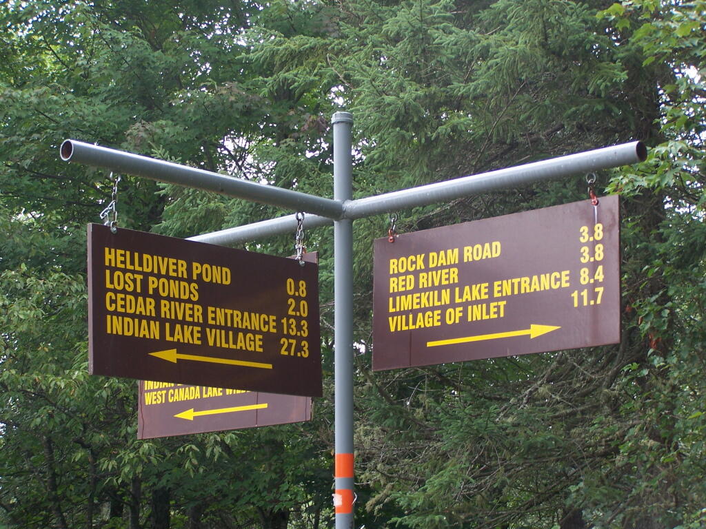
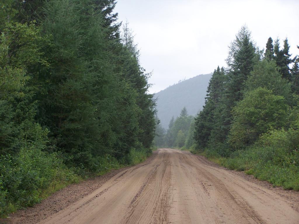
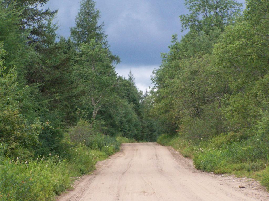
Hopefully it will be up by the start of September, if all goes well. New maps up are on the blog today.

Sitting in the river until it get really dark

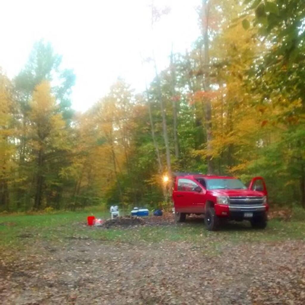
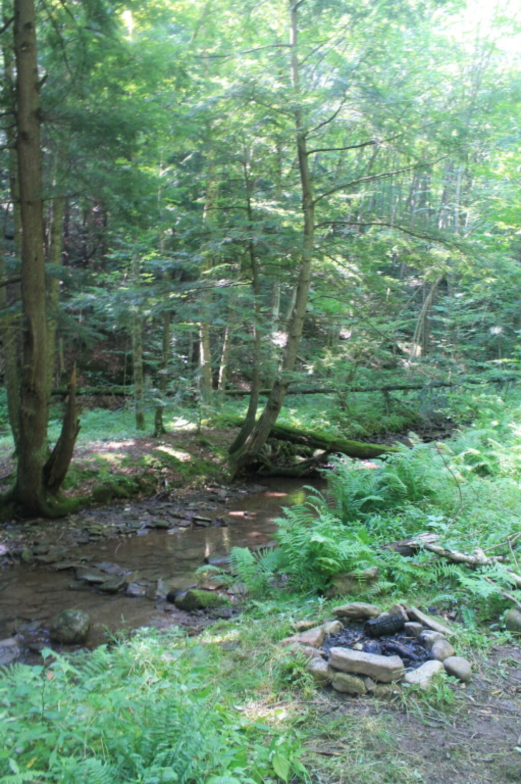
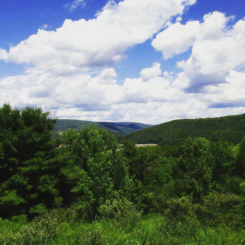
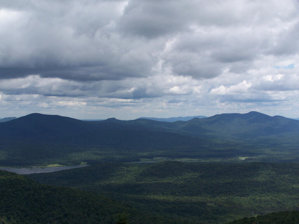
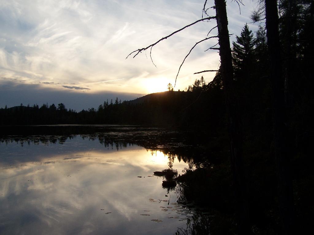
Heading Up to the Northern Half of Green Mountains this Weekend.Β Probably leave Friday after work, first camp in the Southern Green Mountains near Somerset Reservior, then head North on Vermont 100. Β There looks to be a lot of neat places to see in the northern Green Mountains, Β and some spectular scenery.

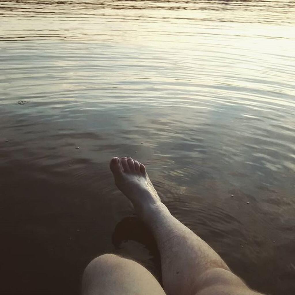
Plan to stay for a long weekend, by also taking off Monday and Tuesday, which promise to be pretty nice weather. As I don’t really know the area, a lot of the trip will be about seeing what is up there, and going from there to figure out what to do. I will bring the kayak and camera, and certainly are keeping my mind open to taking a nice hike somewheres. They are talking about a continuation of the recent low-humidity, temperate climate weather over the weekend, especially as we head into Monday and Tuesday. Supposed to be some good meteor showers.

I’ve decided to do more of these long weekends, rather then take any full weeks off this summer. I guess you could say the July 4th week was technically a week off, although actually July 4th and July 5th were holidays at the office, so they didn’t really count.

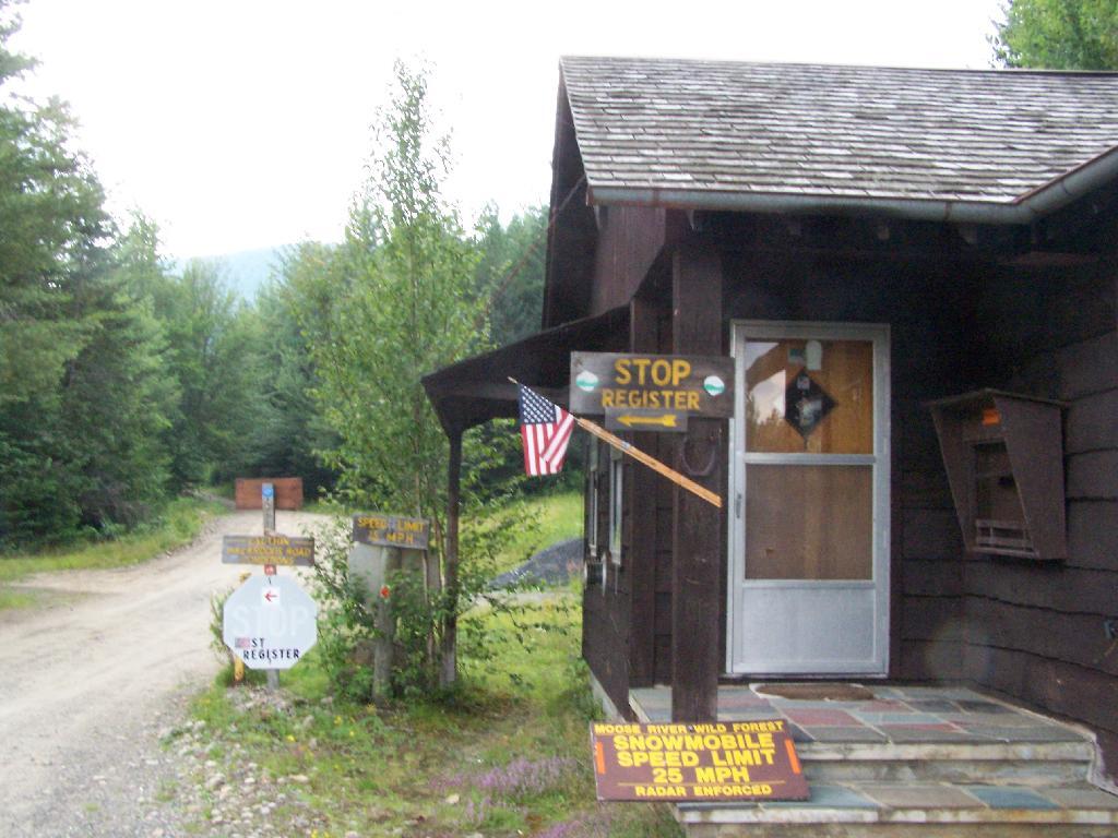
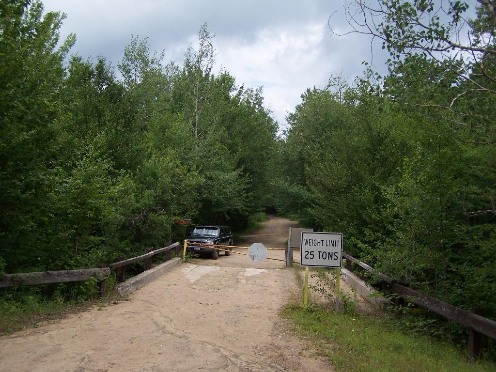
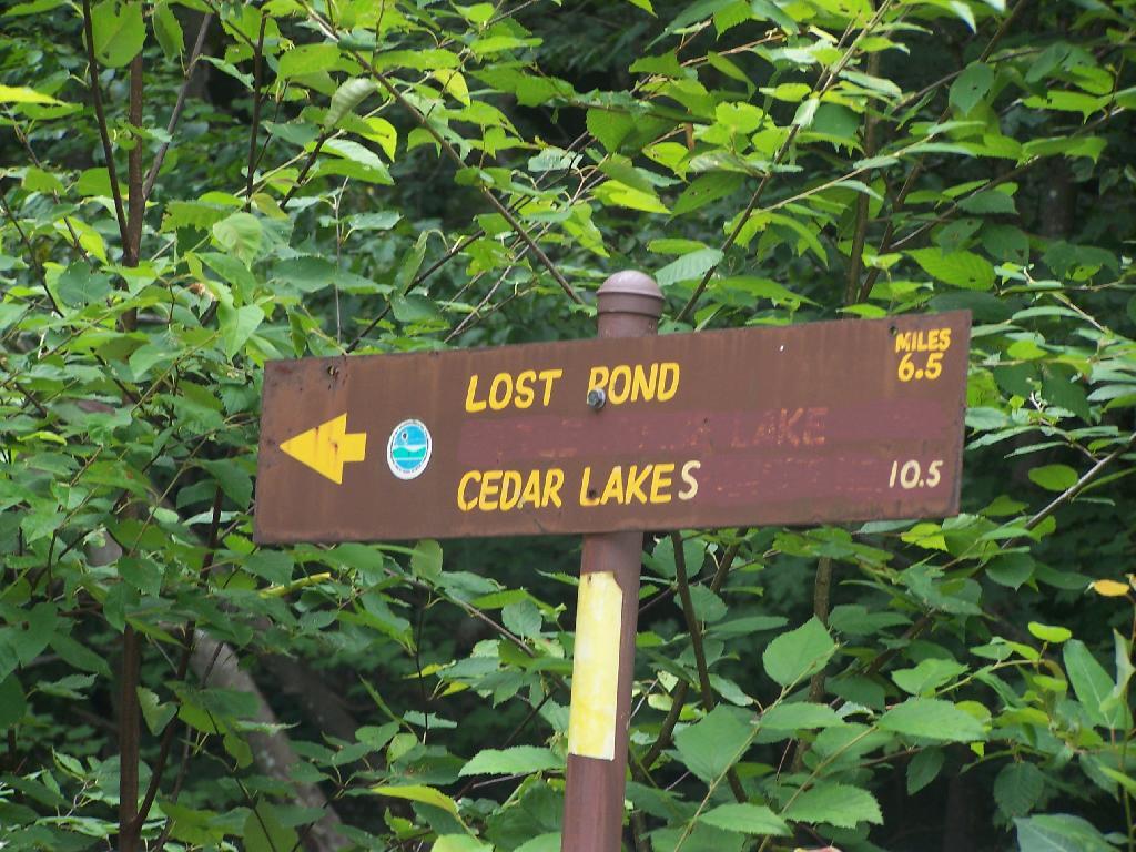
I might take a week-long trip in October to Western NY and Pennsylvania during peak foliage season. That said, I also want to do an extended weekend trip to Moose River Plains and also Lake Kushaqua/Jones Pond and recently re-opened Loon Mountain firetower.

Going to Put Off Getting the Lift-Kit Installed Until at Least March.Β Originally the plan was to have a lift-kit installed on my truck in October. But after giving it more thought, and carefully reviewing the options, I’ve decided the best option is to wait another six months or so. For one, I want to wear down the stock tires more, so I’m not wasting them as much, and also so I’m a bit closer to end of the factory warranty — the lift kit isn’t covered by the truck’s factory warranty, and while it wouldn’t invalidate the whole warranty, certainly any damage (as unlikely as it is) it could cause wouldn’t be warrantied.

But the other part of the rational is partly money-wise, and because I’m not totally sold on the lift-kit idea. I’ve thought about getting Β a snowmobile instead this winter, and have been looking at Want Ad Digest. That said, the more I look at it, the more I am not in a rush to get a snowmobile. As much fun as it would be to get deep in the back country in winter — assuming there are groomed trails back there — I worry about break downs and the alike. Not to mention, snowmobiles use a lot of gas, and really aren’t much more efficient then automobiles, because the snow drags them down.

The money-wise issue comes in that things are more expensive then I first estimated a year ago. I think I am going to go with 35s and a 6″ lift kit from a good brand like BDS. Any bigger then that isn’t cost-effective, and non-pratical. That will get me up high enough. The final increase in the height of the truck will be something like 8 inches, because the 35s are 4 inches larger in diameter then factory 31s, and a six-inch lift is half foot higher.

31626460002_large

I also think I will go for full-leaf replacements in the back rather then add-a-leafs, to ensure the weight of the camper shell and equipment in the back won’t cause the nose to be pointing in the air, etc. Going to have it re-geared to save fuel, add some more power, not kill the engine or tranny. And there are some other things like the narrower brake lines that are recommended, among other parts, I would probably spring for when it comes to lift-kit. Plus all that labor cost, which will easily be a grand on it’s own.

I want to ride up higher. I am a tall guy. It also will give me a chance to “freshen” up the look of my truck, which after 2 1/2 years will be getting kind of boring and old. I want something I can get 10 years or more out of without getting totally bored with. After I do the lift kit, there are other projects for future years, such as getting the rocker panels Line-X’d, and replacing the bumpers with those awesome Ranch bumpers, that can actually be used for parallel parking without being damaged.

Or maybe I’ll find other toys to spend my money on. It’s good having some extra disposable money kicking around, as I’m sure future jobs won’t nearly pay as much.

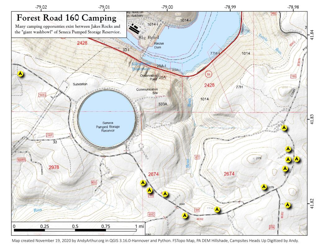
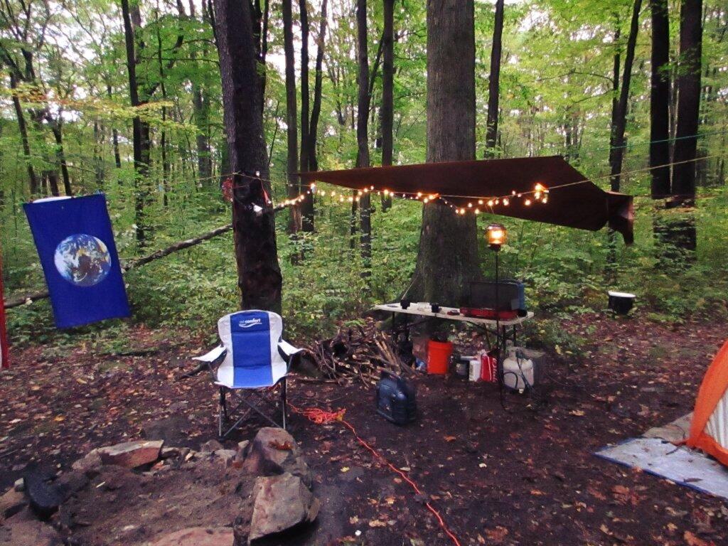
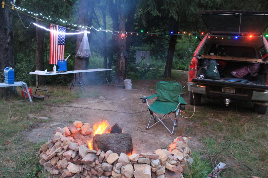
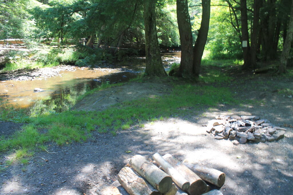
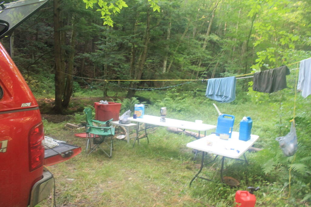
Been Reading and Watching More Videos About Getting Off the Grid. Being somebody who camps most weekends from April to November in the back of my pickup truck, and relies heavily on my inverter and the deep cycle battery to keep things lighted up all evening long. I cook my own food in the woods, clean dishes using bottled water, burn my garbage, and dig a whole in Β woods when I need to go to the bathroom. Heck, with my laptop and the wireless card, I can be up in woods and surfing the web, doing work, and even fielding calls over my cellphone.

I have a pretty decent working understanding of electricity, and how all the off-the-grid thing too. I grew up in the country, are comfortable in woods, and know how to build a good fire in woodstove. I am fascinated to learn more about some of the relatively inexpensive and simplistic living arrangement many-off-the-griders live with, without all costs and hassles of an on-grid house.

My grandfather had one of those absorption-cooler refigerators/freezers in his RV at his campsite in Warrensburg. They’re neat, as one needs more then just a cooler when you live somewhere permanently, rather then wondering the wilderness in your pickup truck. They burn like 5-10 gallons of propane a month. But there also is these high-efficiency refrigerators that are electric and have a lot of insulation, so they don’t strain batteries in a PV/micro-hydro/wind system as much.

But a bigger issue for me is the ability to take showers and get cleaned up properly wherever I live. For that purpose, there are amazingly small tankless-water heaters that use a small amount of propane, but can get water very hot quickly. If you think small, you don’t really need that much flow, compared to a full-scale modern house with a massive-tanked water heater. Hot showers, and hot water for dishes is a necessity to keep clean. If I can get away with it from the code inspectors, I’d be fine with composting toilets or even just a plain old outhouse. That’s a luxury in woods.

Woodstoves, radiant flooring, and other familiar technology is self-explanatory. Having good insulation is a must in this part of the country. I don’t want to have trash pickup — I’m happy enough burning what can be burnt, and taking the glass and metals for proper recycling in the normal industrial fashion.

I like small houses. Smaller is better. I would rather spend my money on land, that could not only be used for recreation like riding quads, shooting guns, and hunting, but also for money by grazing livestock and timber. I am not a greeny, I don’t got a problem with using styrofoam plates for dinner and disposing them in an open fire. I just hate the whole upper-middle class, fancy house living style in the suburbs.

All this reading library books gots me thinking …

But for now I’m fine. As a transition though, I think I would next like to live in a small, handsome, downtown, one that is walkable to a bar and a store, but also provides ample-off-street parking. I think it would be a lot of fun to have an apartment on the second or third floor, above a shop, and be able to sit out and look at my window and watch the traffic go by.

Anywhere I live, I want to be near a National Forest or State Forest that allows free, primitive camping, in a remote-roadside fashion. Not to mention scenic vistas, places to hunt, fish, hike, and spend time outdoors. But I really want to get out of New York, at least eventually. I think it would be fun to own an AR-15, and eventually get a concealed carry permit from a must-issue state, without any pesky questions about whatever stupid things I did decades ago back in college — that hurt nothing but folks egos. To say nothing of not being in a state that’s totally anti-rural and not into the philosophical nature thing.

Far off I guess. Things aren’t that bad right now.

Winona Recreation Area

The Winona Recreation Area, aka the Winona and Jefferson State Forests has a series of informal campsites throughout it’s miles and truck trails, that are also used by ATVs and snowmobiles based on the time of the year. Known for the large amount of snow the area gets, it’s one of the most vast state parcels in the Tug Hill Plateau.

In the past I’ve camped on an undesignated site with a firepit on Bargby Road. There are other sites around, but I don’t know the area that well, and the sites ar not listed online. You might consider contacting the local Forest Ranger about getting a permit and some other ideas.

Be careful driving around here, as many of the truck trails are very rough and muddy, and you will be sharing them with ATVs in the summer season. They are real fun if you want to get some mud on your pickup truck. It’s by far one of the best places to find rough and muddy state truck trails in NY State, and tons of snow in the winter. I camped there in April 2004 (no snow), but it was cold. β€” Andy

“Over the past years, many different groups have enjoyed the use of these trails, but this has made for some difficulty in how to designate which trails would be used and for what purpose. The Western Edge Recreational Association was developed around 1995 to bring together all the users: skiers, snowmobilers, dog sledders, horse owners, hunters, bikers, and orienteering people.”

“With the melding of ideas, resources and manpower, Winona State Forest has become one of New York State’s best venues for recreation, and at the same time, provides valuable timber resources.”

“In 2005, DEC began developing a unit management plan (UMP) for Winona State Forest. A UMP must be completed before significant new recreational facilities, such as trails, camping sites, and parking areas can be constructed. The plans involve an extensive analysis of the natural features of an area and the ability of the land to accommodate public use. The DEC has primary responsibility for developing management plans for the State-owned lands. Draft plans are widely distributed for public comment and review prior to being finalized by DEC.”

β€” NYSDEC Winona State Forest.

“The Winona Forest Recreation Association (WFRA) maintains approximately 70 miles of trails in the Winona Forest and Jefferson County Forest Preserve. Both are located in the Tug Hill region of New York State. WFRA, which began as the Tug Hill Ski Club, has reorganized as the Winona Forest Recreation Association in order to include all user groups of the forest. WFRA membership consists of skiers, snowmobilers, atv riders, equestrians, mushers,snowshoers, bikers, hikers and many other outdoor sports enthusiasts. We’re not just an ordinary club!

“Winona Forest is one of the snowiest places east of the Rockies with an average snow fall of 250 inches per year! In winter, the prevailing westerly winds move cold winter air over the warm water of Lake Ontario producing massive lake effect snow falls on the Winona Forest in the Tug Hill area.”

β€” Winona Forest Recreation Association.

Barby Road 2
Tucker Road 1

Summer afternoon

Past and Present Management Of Moose River Plains

Today’s fodder was is an excerpt from “Moose River Plains Wild Forest Revised Draft Unit Management Plan/Draft Generic Environmental Impact Statement ‐ July 2010”, Appendix III, a NYS Department of Conservation Document that is in the public domain. As the DEC will probably eventually remove this from the internet, and because it is only in PDF I have decided to share it in the entirity in this blog post.

I have added some pictures I’ve taken over the years at Moose River Plains. I hope you find this interesting and helpful. – Andy

Past and Present Management Of Moose River Plains.
As Written By NYSDEC, Revised Draft Unit Management Plan

The State acquired an original tract of 9,000 acres in the heart of what is now the MRPWF before 1900. In 1948 the Conservation Department issued a permit allowing Gould Paper Company to use an existing wagon road known as the Kenwell Road to haul timber across State lands and to maintain a gate at the end of the road near Limekiln Lake to prevent public access. The Department acquired 15,710 acres surrounding Limekiln Lake from Gould in 1960, then another Gould parcel encompassing Lost Ponds and containing approximately 1,803 acres in 1962. An individual owner sold the State a parcel of 356 acres including Beaver Lake in 1963. The majority of what is now the MRPWF and the northern part of the West Canada Lake Wilderness was added to the Forest Preserve in 1963 when Gould Paper Company sold the State a tract of 50,970 acres stretching from Horn Lake on the west to Manbury Mountain on the east. Major subsequent additions included 602 acres surrounding Wakely Dam and the north end of Cedar River Flow from Finch, Pruyn and Company in 1964 and two large parcels acquired from International Paper Company: the 1,120‐acre Cellar Mountain parcel in 1986 and a tract of 9,925 acres south of Wakely Mountain in 1988. The larger parcel was acquired subject to a 1987 easement conveyed by IP to Hamilton County for the maintenance of the four miles of Cedar River Road which crossed the parcel. Appendix 25 contains an acquisition map.

A small parcel was acquired in 1981 along Route 28. This acquisition included access to the shore of Fourth Lake. However, there is no potential to develop any water access at this location. Appendix 15 contains a deed and sketch map for this parcel.

Moose River Plains Overview

After this major acquisition, the Department took an active approach to the management of the area then referred to as the Moose River Recreation Area, a name which reflected the intent behind the purchase. From the beginning, the Department pursued the development of an extensive road system to provide public access to the remote interior for hunting, trapping, fishing and camping. An early Department report indicated that there were about 178 miles of primary gravel roads and an equal extent of secondary and winter roads throughout the former Gould lands. However none of the roads was suitable for public motor vehicle use without significant improvement. Minutes to a meeting of Department staff on December 9, 1963 included an estimated cost of $25,000 for the annual maintenance of 50 miles of roads and bridges. Starting in 1964, Division of Fish and Wildlife staff used heavy equipment to improve roads initially identified for public use. When the area first was opened to the public on October 23, 1964, the road connecting the Limekiln and Cedar River entrances had just been cleared by bulldozer, but remained difficult to traverse. In addition to the LLCR Road, the Rock Dam Road, Otter Brook Road and Sly Pond Loop were open to public use by permit for a total of about 30 miles. Fifty‐six parking areas were established along the road system. At the entrance gates, cars were assigned parking areas and travel was allowed only to and from those areas. The public were four‐wheel drive vehicles or tire chains. Pickups with slip‐on campers were permitted from the start, but because the roads were not yet suitable, trailers were not permitted.

Speed Limit 15 MPH

In a road plan adopted in 1965, roads to be designated were divided into three categories. Twenty‐two miles would be first priority roads, open to all traffic; 30.5 miles would be second priority roads open only to fourwheel drive vehicles; and 7.5 miles would be administrative roads restricted to use by Department staff for crossing private property. In the first years after the area was opened to the public, access remained difficult because of the effects of weather on road conditions. In the summer of 1965, work needed to make the roads passable delayed opening until July 1. In order to minimize fire danger and facilitate the disposal of trash, the public was allowed to camp only in areas adjacent to the roads and for a maximum of 3 days. Trash receptacles eventually were provided at most campsites and Department staff collected trash twice a week through the 1970s. The trash was deposited at a dump site south of the LLCR Road east of Helldiver Pond.

Helldiver Pond in Evening

The road crew worked steadily year by year to improve the roads with the intention of ultimately allowing them to be traveled safely by cars. After the extensive logging by Gould, especially after the 1950 Blowdown, much of the area was occupied by thick low vegetation, the tops of harvested and wind‐thrown trees. Foot travel was difficult. To allow hunters to more easily travel through more remote areas in search of game, Fish and Wildlife staff used a bulldozer to clear and extend logging roads and skid trails to serve as foot trails, starting in the late 1960s. Trails cleared in this way include routes to Mitchell Ponds, Bear Pond, Lost Ponds, Cellar Pond, Beaver Lake, Sly Pond and Squaw Lake, as well as those along Benedict Creek and Butter Brook. A number of routes cleared at that time are now within the West Canada Lake Wilderness, including the trails to Horn Lake and Falls Pond. Many of the cleared routes extended beyond the trails currently marked and maintained. A map prepared by Jack Harnish, a member of the crew that did the trail clearing work, is on file with the Department.

Direction Sign at The Big T Junction

The minutes of the December 9, 1963 Department staff meeting mentioned above included in the list of recommendations for the operation of the area that the Department should establish several small camping areas to include table, fireplace and latrine throughout the area adjacent to the roads where parties can park and camp. By 1965 the Department began constructing campsites and installing fireplaces, picnic tables and privies, which were built in a field just west of the Cedar River entrance. At each suitable location along the road system, a bulldozer was used to make a short access driveway and level an area where a car or pickup truck could park and camp. A number of campsites were created at former log landings. Many of the areas originally intended as roadside parking areas later were converted to campsites. Campsite construction was completed by the late 1960s.

Campsite 55

Because of the importance of the Plains as a deer wintering area, the Departments game management staff began studying the area in 1931. Hunting and fishing advocates such as the Adirondack Conservation Council supported the acquisition of the Plains and the development of its roads, trails and campsites for hunting and fishing access. In 1965 and 1966 with federal Pittman‐Robertson Act funding, 30 log landings were graded for hunter parking access and 30,000 trees were planted in the Plains area as an experiment intended to provide winter deer shelter.

Tall Pines in the Plains

In 1965 housing was constructed for the Limekiln and Cedar River gatekeepers. The possibility of a use fee was discussed, but no fee was charged during the early years. During the 1976 season the Department charged a fee of $1.50 or $2.00 per car. A subsequent assessment determined that most of the revenue generated by the fee was offset by the costs of staffing and administration. The fee was discontinued the following year.

Entrance to Moose River Plains

Work to clear hunter access trails by bulldozer continued for a few years. However, after repeated incidents of public motor vehicle travel on these trails, 16 barriers were installed in 1970, and motor vehicles no longer were used to maintain the trails. Also in 1970, the original road plan was changed to close 22.5 miles of the original III. Management and Policy Moose River Plains Wild Forest Revised Draft Unit Management Plan/Draft Generic Environmental Impact Statement ‐ July 2010 67 30.5 miles of secondary roads to the public and retain them as administrative roads. The other 8 miles, consisting of the beginning of the Otter Brook truck trail and the road to the Indian River, were upgraded to primary roads and the gate at the Otter Brook bridge was removed.

Otter Brook Bridge is Closed

As work progressed over the years and the condition of the road system improved, the Department relaxed restrictions on the types of vehicles the public could drive. In the late 1960s the Department decided to allow motorhomes up to 22 feet long to travel the roads through big game hunting season, as long as they had tire chains. It was thought that they were less likely to get stuck than vehicles towing camping trailers, which the Department continued to prohibit. However, pressure to allow trailers began early and continued to grow. After Department staff conducted an assessment of the roads and determined that they had been sufficiently improved, they decided to allow trailers beginning around 1980.

For several years after the Department first erected wood signs in the MRPWF, they were repeatedly damaged by black bears. To prevent further destruction, metal signs were installed in 1975.

6.5 Miles to Lost Pond

A detailed Department map prepared in 1977 shows 222 campsite and parking area locations along the road system. The map provides an inventory of the structures at each site, showing the prevalence of fireplaces, picnic tables and privies at the time. Twenty sites were closed in 1980 after the reclassification of the southwestern portion of the area to wilderness, when the road to the Indian River was gated at Indian Lake. The campsites were not given numbers on the ground until the 1980s. A number of original sites that had fallen into disuse were bypassed when the numbers were assigned, so that in 2008 there are 170 numbered sites. In 2006 sites 7, 34, 66, 73, 90, 119a, 130 , and site 1 at Cedar River Flow were modified and designated as accessible sites.

In recent years, maintenance activities have focused on keeping the road system in passable condition, replacing inadequate culverts and trail maintenance. In 2001, four gravel pits were reclaimed and replanted.

Warning! Road Washed Out

In 1996 an engineering evaluation was completed for the public motor vehicle roads in the unit. The report focused on 8 major and 12 minor culvert problem areas and made recommendations for replacing existing culverts with new structures of sufficient capacity to handle a design storm of 100‐year occurrence probability with a snowmelt allowance. Between 2000 and 2005, 11 of the 12 minor sites, with the exception of site 10B, were addressed and site 5A of the major sites is the only one complete. The report and an updated status can be found in Appendix 22.

Straight Thru the Plains

In 1974, jurisdiction over approximately one acre of State land was transferred from the Hudson River‐Black River Regulating District to the Department for use as a canoe access site on Sixth Lake. In 1986, the Department transferred jurisdiction of 6.41 acres of State land along Sagamore Road to DOT. This parcel encompasses an old sand pit and was transferred so that DOT could relocate their maintenance facility from an area immediately adjacent to State Route 28 to a more screened location. DEC reserved the right to use gravel from this site, as long as it did not interfere with the DOT facility. Currently DOT does not use the site, but may use it at some time in the future.

Moose River Plains Overview

When the Moose River Recreation Area was first opened to the public, use levels were relatively high. During big game hunting season in 1964, 2,021 vehicles with 5,764 passengers signed in. Though the area originally was purchased and developed for use by hunters, trappers and anglers, the first 10‐day report filed after the 1965 opening on July 1 indicated that 75 percent of visitors were campers and sight‐seers. In 1966, 7,809 people signed in as anglers and 23,408 camper‐days were recorded during big game hunting season, about 6,000 of which were recorded for campsites beyond the Otter Brook bridge. Big game hunters were very successful in the early years, harvesting 373 deer and 15 bear in 1966 and a high of 404 deer in 1968. Deer harvest levels declined sharply after 1969, with 77 harvested in 1970 and 11 in 1971. Since the 1970s the number of deer taken by hunters has increased and in recent years harvest numbers have nearly returned to the levels recorded in the 1960s. The MRPWF remains popular with hunters, trappers and anglers.

Thunderstorm Coming to the Plains

Early management included the adoption of a number of regulations in 1972. These regulations, which still apply to public use of the area, require visitors to register at the Cedar River and Limekiln entrances, require the use of tire chains after October 1 except on 4‐wheel drive vehicles, prohibit snowmobile operation during the big game hunting season and prohibit the use of motorcycles and motorized bicycles. Current conditions may warrant the elimination of the registration requirement and the prohibition against motorcycle use.