Search Results for: "Map:" The Long Path

Roosa Gap State Forest

 Roosa Gap State Forest

Farther north on the Wurstboro Ridge, is the Roosa Gap State Forest , a 680-acre parcel purchased for the Long Path and provide public access of this scenic ridge. This area features the Roosa Gap Firetower and views of the the Basha Kill in the Valley below.

Island Line Trail

The Island Line Trail, also known as the Colchester Causeway, is a 14-mile (23 km) rail trail located in northwest Vermont. It comprises the Burlington Bike Path (Burlington), Colchester Park (Colchester) and the Allen Point Access Area (South Hero).

There was little on-line traffic left on that portion of the route and freight for Canada could be routed from Burlington north to Montreal over the somewhat longer Central Vermont Railway through St. Albans, Vermont. After several years of inactivity, restoring service on the Island Line would have required extensive rebuilding, and renovations of the three swing bridges on the line, over various bays of Lake Champlain. Ultimately all of the bridges on the route were removed, but the roadbed on the causeway across the lake survived, as it was heavily built with much use of granite. The alignment along the shores of Lake Champlain from Burlington Union Station north to the causeway was converted to form the Burlington Bike Path, and later took the Island Line name when the causeway was reopened, with a seasonal bike-ferry replacing the swing bridge in the northern portion of the causeway alignment. Due to a 200-foot (61 m) gap in the causeway, the organization Local Motion operates the Island Line Bike Ferry to shuttle cyclists across the gap.

https://en.wikipedia.org/wiki/Island_Line_Trail
https://www.localmotion.org/island_line_trail_map

Goldmine Stream Falls

Goldmine Stream Falls

43.33072545558804,-74.6550531605912
Looking for some golden refreshment on a hot summer day? Or a quiet place to sit and observe the golden waters of Goldmine Stream, colored by sulfur in the granite to make the water a golden color on sunny days?

Hike 1.5 miles west along a herd path, marked by a water bottled tied to a tree with bailing twine. The trail is roughly 200 feet south of Campsite 14.

https://andyarthur.org/goldmine-stream-falls

https://www.dec.ny.gov/lands/114279.html

Hiking to Rossman Hill Lean-To

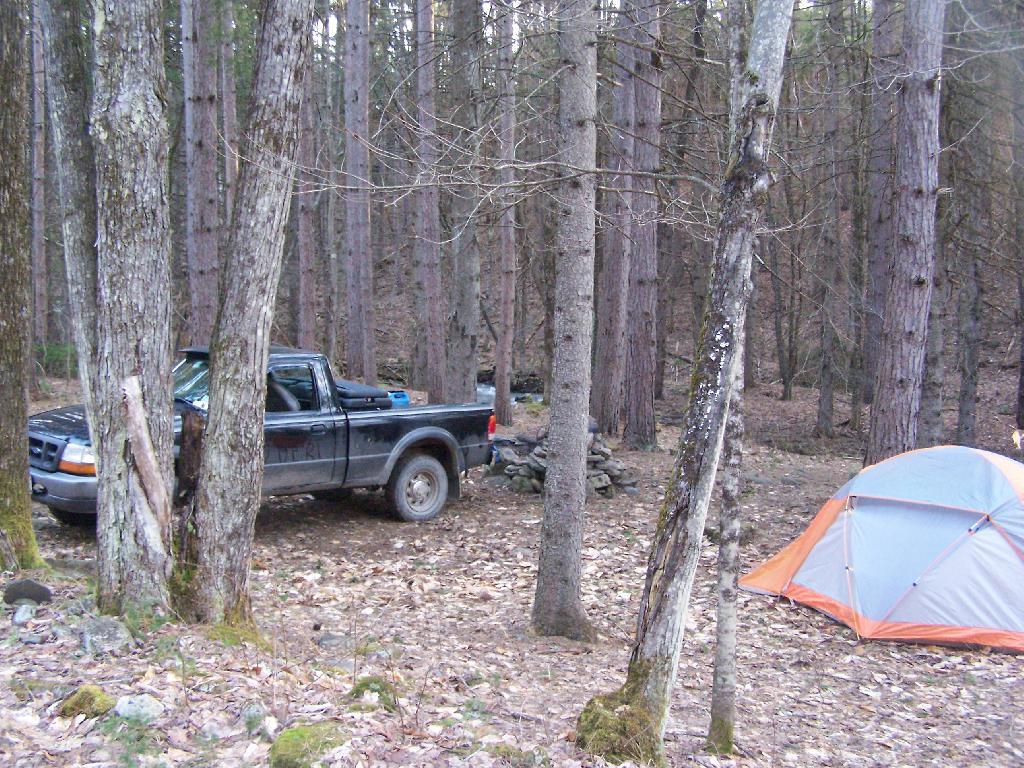
I’ve camped up at Burnt-Rossman State Forest a couple of dozen times. It’s one of my favorite places to go out truck camping, with it’s remote and quiet nature, and while I had known from maps that there was a lean-to up there, that one could hike to, I had never actually visited it. I had spent the previous night tent camping, and being up early, decided to check out the lean-to.

Campsite

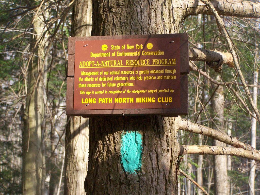
The lean-to is located on the section of the Long Path that crosses Morey Road, just south of Rossman Hill Road, right next to the old cemetary. Alternatively, you can access the lean-to from Burnt Hill Road, just up the hill from where Duck Pond Road splits off. The lean-to is located about a 1/2 mile from either road. Regardless of which way you choose to go, it’s a nice level hike through marshes and old timber stands.

Through the Woods

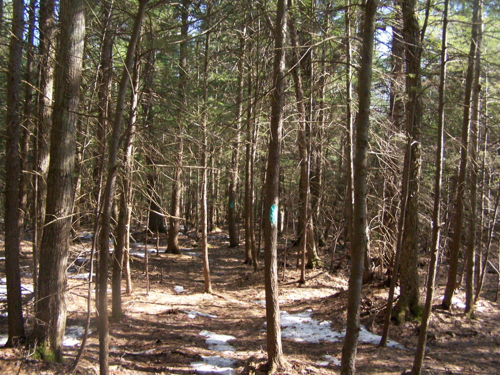
And old woods roads…

Adopt a Natural Resource

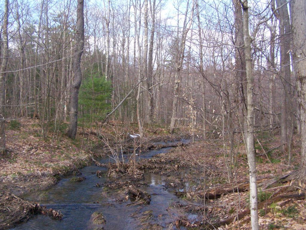
As you past by the headwaters of the Cole Brook, which ultimately helps feed the Schoharie Creek.

Headwaters of Cole Brook

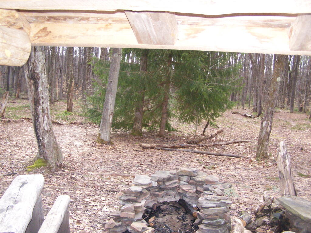
And the lean-to is really nice looking and only used occassionally, mostly by the locals.

Lean-To Side

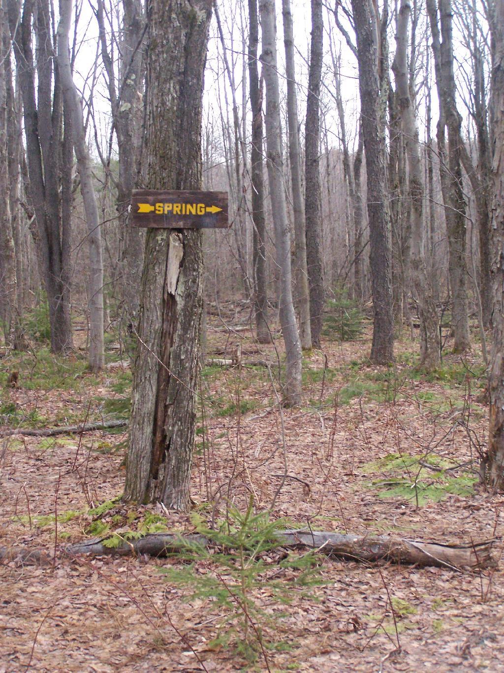
And it’s nearby a spring, or at least a marshy area that never gets wet.

Spring

It’s definately some place I would like to stay some day.

 Looking Out the Lean-To

Here is a map:


View Rossman Hill Lean-To in a larger map