West Virginia
Tenting it while it drizzles
A little bit of drizzle is coming through. Just hanging out in the tent for now with the heater on low but it’s almost too hot.
U.S. Route 48 – Wikipedia
Mountain Laurel Camp
Drizzle this morning
October 11, 2019 Night
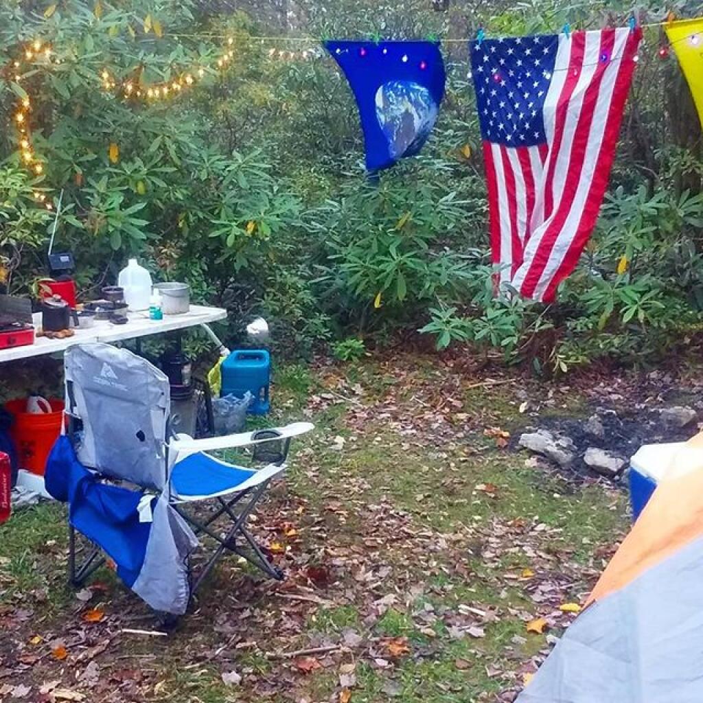
Good evening! Partly clear 🌃 and 53 degrees at the Monongahela National Forest. There is a southeast breeze at 5 mph. 🍃. The dew point is 43 degrees. Beautiful evening at camp listening to Mountain Stage, recorded live 23 miles from where I’m camping. 🎸
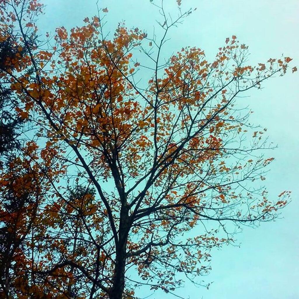
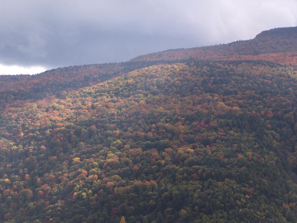
It was a beautiful day hiking at Dolly Sods. 🚶Definitely the best day so far on vacation. Dolly Sods was amazing for color, and I had a great campfire back at camp. Tired 😴 after hiking more than ten miles 🔟, it seemed like I barely went that far as with the open sods of the area, you can see a long way. Some parts of Dolly Sods were bone 🍖 dry, others down by the Red Crick where super wet. For being a drought isn’t expect to be hiking in ankle deep mud. But at the same time I wouldn’t want to have a fire anywhere in the sods like people often do camping in mid summer.
Honestly, when it wasn’t too cold and their isn’t a fire ban, ⛺ camping in the Dolly Sods must be an amazing experience full of stars. I had originally to camp down on Forest Road 75 below the sods where they allow roadside camping but that will have to wait for a future year.
Later on in the afternoon I stopped at Seneca Rocks. ⛲ Confirmed down there no fire ban. 🚫If it was earlier I would have climbed the Seneca Rocks but it was 5:45 pm and sunset 🌇 was just around the corner. ⌛They have a big developed campground there, I should have thought about paying the three bucks for the day use of the shower 🚿.
You see a lot of Black Angus cattle in this part of West Virginia. 🐃 You could smell them a bit at Seneca Rocks. 💩 Land is only good enough for foraging and grazing around here, a few chicken 🐔 or turkey farms 🍗 but they’re more in the wider and agricultural rich Sweedlin Valley where they can raise more corn 🌽 to feed the chicks 🐥. After spending so much time in the mountains, it was odd to smell the grazing cattle around Seneca Rocks. Dairy 🐄 up in Western Maryland but not here. Just not the forages necessary to sustain dairy cattle in the mountains.
I downshifted to first gear and took breaks going down Dolly Sods Road and didn’t have any issues with the brakes. 🚙 I thought about stopping by Spruce Knob Mountain to watch the sun set from West Virginia’s highest peak at 4,860 feet but I didn’t want to drive back to camp an hour away in the darkness.
There was a Southern Wedding 💒 at the Bear Rocks today in Dolly Sods. Kind of odd to see all those people in suits standing in the Mountain Laurel and Blueberry bushes but it’s certainly a beautiful place to get married in the wilderness. ♥ Looked like a beautiful ceremony in the wilderness. Very lovely, it looked like a real Appalachian couple 👫 not a high priced ceremony.
It was pretty crossing the Appalachian divide on US 33 this evening 🚚 except for the part behind a slow moving truck. US 33 in that part is pretty wide and while there are some hairpin curves ⤵ it’s fairly wide and an easy drive. Harmon WV is a cute Appalachian town nestled in the mountains, I’d eventually want to live in a place like that but not in the village proper but up in the hills. 🏡 Probably with open burning laws more like Pennsylvania though.
I did see a few burn barrels along the way, including a fire 🔥 on a hobby farm below Dolly Sods. 🚜 But not a lot of burning, it’s much more restrictive in WV than Penna. 📛 It has to do a lot with the state’s implementation plan for the Clean Air Act – go after the poor farmer and homesteaders rather than the coal plants. You know the coal plants that burn thousands of tons a coal every day, 🏭 sending electrons to far away places like the Washington DC metro area. Plus the area I was in is much more built up and in deep valleys compared to Pennsylvania.
Tonight will be mostly cloudy 🌥, with a low of 51 degrees at 1am. 10 degrees above normal, which is similar to a typical night around September 18th. Maximum dew point of 47 at 6am. South wind 5 to 8 mph. Nice mild evening with the full moon or pretty close. 🌕 In 2018, we had light drizzle in the evening, which became mostly clear by the early hours of the morning. It was somewhat humid. It got down to 45 degrees. The record low of 22 occurred back in 1964.
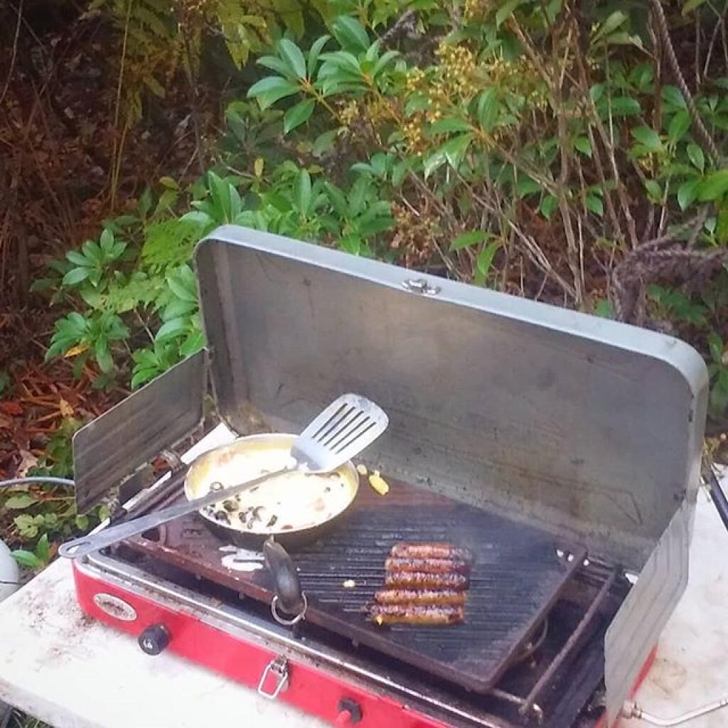
Had a nice little camp fire 🔥 for a while now that the burn ban is over. Made sure to dig out the pit well before starting the fire and cleared all the leaves nearby, moved the tent further away and made sure to drown the coals and bury them in the pit to make sure that the fire was cold before bed. Probably excessive as this part of the Monongahela National Forest is not sioe dry – there is water in the ditch and digging through the leaf litter you can feel the dampness in the soil. But based on how easy the dry wood I used for firewood is obvious the dead wood is primed to burn. The fire was fantastic and made quick work of the camp trash.♻
Tonight is the Hunter Moon 🌕 or pretty darn close to it. The sun will rise at 7:23 am with the first light at 6:56 am, which is 59 seconds later than yesterday. 🌄 Tonight will have 12 hours and 38 minutes of darkness, an increase of 2 minutes and 31 seconds over last night.
Tomorrow will be scattered showers, mainly between 10am and 2pm. I’ll probably sleep in tomorrow and if it’s really drizzling in the morning, hot tent with a good book. Mostly cloudy 🌦, with a high of 54 degrees at 7am. Seven degrees below normal, which is similar to a typical day around October 30th. Maximum dew point of 52 at 10am. West wind 10 to 13 mph. Chance of precipitation is 50%. New precipitation amounts of less than a tenth of an inch possible. Doesn’t sound like a a major rain event, should be good enough at least for visiting Blackwater Falls State Park tomorrow. Batteries are well charged from the sun today and driving so it’s not a big concern for me. 🔋 Probably not a torrent going over the falls but the Blackwater Creek looked full enough when I crossed it yesterday. A year ago, we had light rain in the morning, which became light rain by afternoon. The high last year was 61 degrees. The record high of 85 was set in 1954. There was a dusting of snow in 1904.❄
In four weeks on November 8 the sun will be setting at 5:10 pm (Standard Time) in Davis WV,🌄 which is one hour, 35 minutes and 39 seconds earlier then tonight. In 2018 on that day, we had partly cloudy and temperatures between 49 and 31 degrees. Typically, you have temperatures between 51 and 34 degrees. The record high of 75 degrees was set back in 1975.
Looking ahead, November 🥧 is in 3 weeks, Veterans Day 🇺🇸 is a month away, Buy Nothing Day 🛍️ is in 7 weeks, Saint Nicholas Day 🎅 is in 8 weeks and Latest Sunrise of the Winter 🌄️ is in 12 weeks.
Never see any New York license plates
Never see any New York license plates in West Virginia, even though West Virginia is the best Virginia. It’s more scenic, quieter and generally nicer and less southern, less urban, less traffic and mountainous then the inferior Virginia.
Generally the reaction I get from New Yorkers when I come down here is, “what’s in West Virginia to see and do“. Maybe it’s a good thing it’s a blank space on their map.


