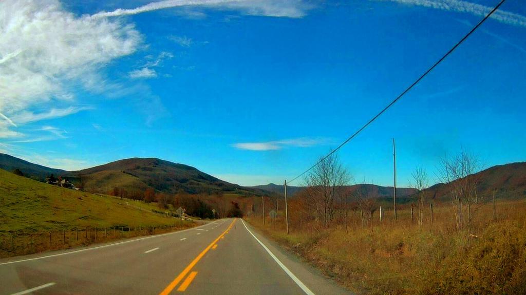
North Fork Mountain is a quartzite-capped mountain ridge in the Ridge and Valley physiographic province of the Allegheny Mountains (or "High Alleghenies" or "Potomac Highlands") of eastern West Virginia, USA. Kile Knob, at 4,588 feet (1,398 m), is the mountain's highest point, and Panther Knob and Pike Knob are nearly as high. North Fork Mountain is the driest high mountain in the Appalachians, and has vegetation and flora different from nearby, wetter high mountain areas immediately to the west such as Spruce Knob and Dolly Sods, with pines (Pinus) abundant on the mountain's ridgecrest, in contrast with the spruces (Picea) so characteristic of these comparably high summits across the North Fork Valley. https://en.wikipedia.org/wiki/North_Fork_Mountain
Right now there is a 15 mile gap between Wardensville WV and Strasburg VA where Interstate 66 and Interstate 81 run. Completion of this gap - long delayed by a lack of funds for Virginia will bring many more cars to Thomas WV and the high country and may forever change the region. I am kind of glad that I've been there a few times before the region will be forever changed by the tourist.
Good farmland is relatively uncommon in Northern West Virginia. But there is an exception around the valley in Fort Seybert.
On the Road in West Virginia: Our 55 Counties, Mcdowell County Segment.
A hamlet of 140 people nestled in the Potamac Highlands region of West Virignia, after US 33 crosses the Appalachian Front and descends into the next valley. To the north is the Canaan Valley along WV 55, a somewhat higher elevation. I drove through it last time I was down at West Virginia, and it's a beautiful little town especially around dusk.
