Warren County
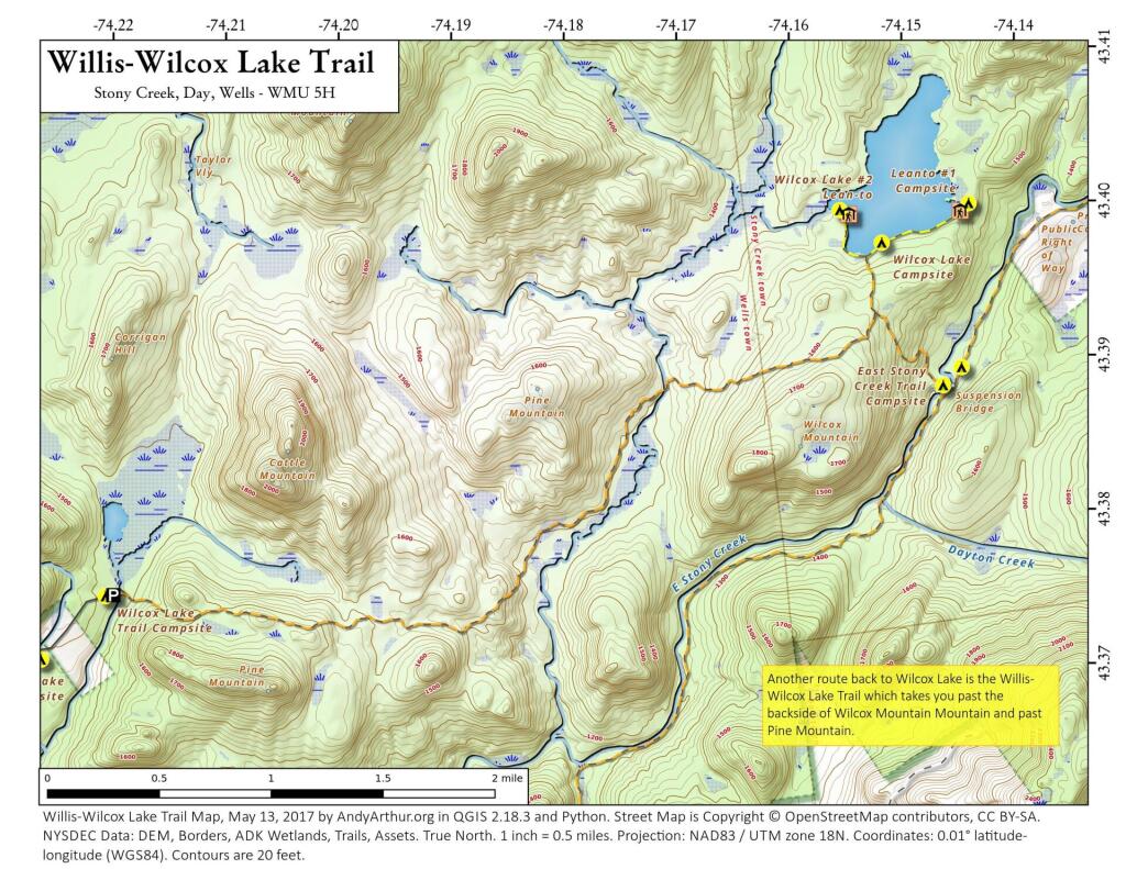
Willis-Wilcox Lake Trail
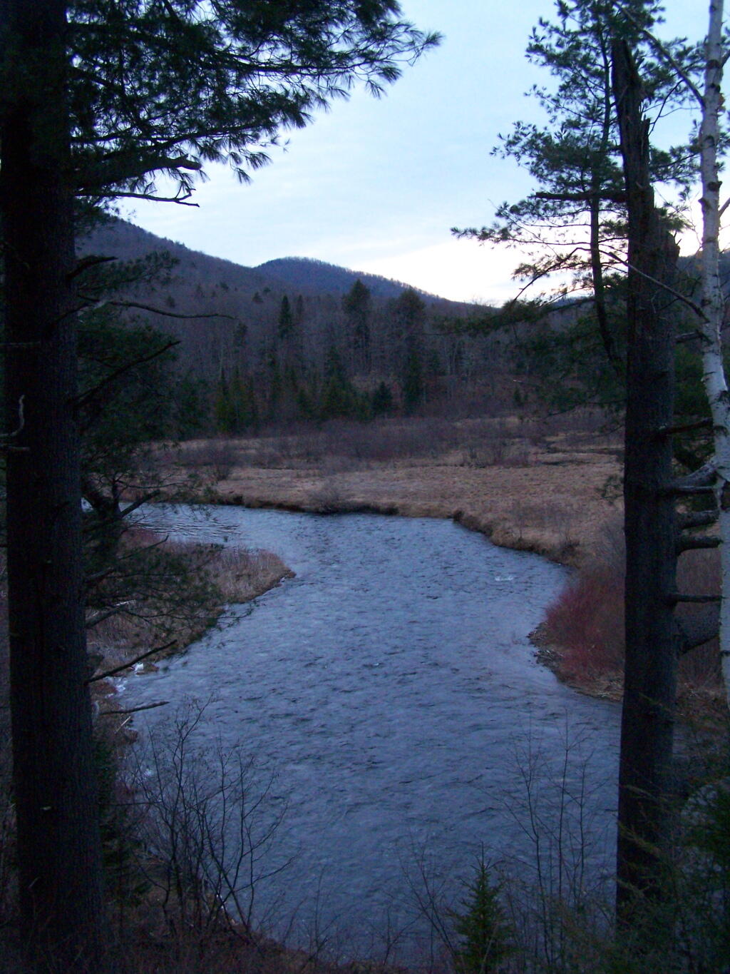
River Valley As Night Approaches
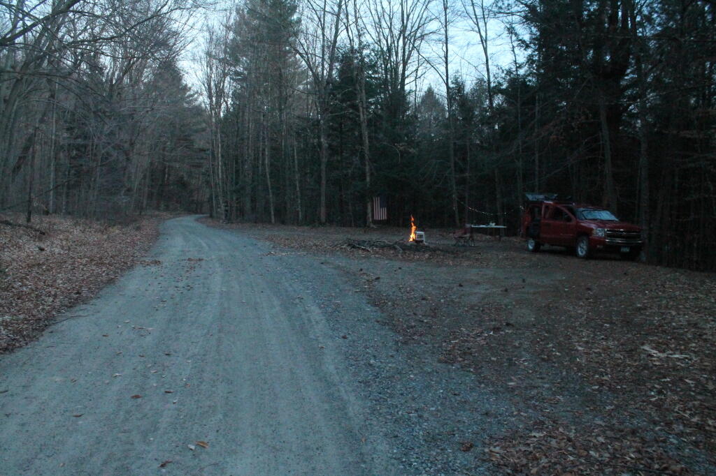
Hope Falls Road
Lake George – Full Assessed Value of Properties
Scroll around to compare to Queensbury, Glens Falls, Warrensburg or any other part of the state.
Huckleberry Mountain Lands
Shows the recent addition of the Huckleberry Mountain Lands to Crane Mountain Parcel.
Tenant Creek Falls Trail
An interactive map of the new trail up to Tenant Creek Falls, at least the lower falls, as apparently the DEC has not digitized the improved trail up to the upper falls and Tenant Creek ATV Trail - Dominic Bridge (which doesn't apparently exist in state's SAM database). It's actually kind of neat that there are places that state doesn't have on their map.


