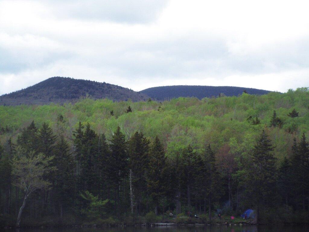
Green Mountain National Forest
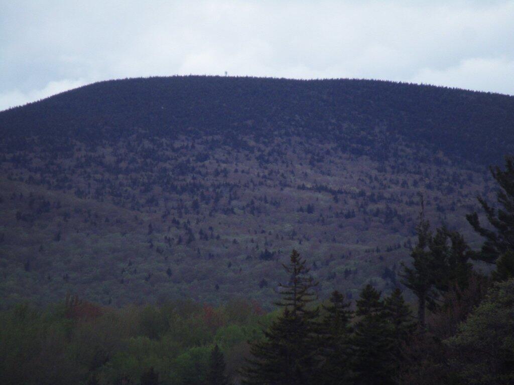
Stratton Firetower
Memorial Day Weekend Camp Fire
Nice crackling roaring campsite on Friday night.
Forest Routes in Green Mountain National Forest 🌲🌲🌲🌲🌲
Forest Routes in Green Mountain National Forest 🌲🌲🌲🌲🌲
Below is a list of various Forest Routes designated in Green Mountain National Forest.
(Zoom in to see individual roads on the above map)
| Name | Route Number | Name | Route Number |
|
| Danby | 10 | Bacon Hollow | 254 | |
| Griffith Brook | 12 | Freezing Hole | 255 | |
| Powder House | 13 | Eddy Brook | 256 | |
| Anderson Place | 14 | Peru | 257 | |
| Fowler | 15 | Morris Brook | 258 | |
| Trout Club | 16 | East Dorset | 259 | |
| Jenny Coolidge | 17 | Catamount Cobble | 260 | |
| Greendale | 18 | Cole Brook | 261 | |
| Priory | 19 | Grout Pond | 262 | |
| Wallingford Pond | 20 | Bailey Hill | 263 | |
| Mad Tom | 21 | Roaring Brook | 264 | |
| North Road | 22 | Cardinal Brook | 265 | |
| Moosalamoo | 24 | Lamb Brook Road | 266 | |
| Austin Brook | 25 | Haystack | 267 | |
| Little Michigan Parking | 26 | Heather Brook | 268 | |
| Silver Lake | 27 | Medbury | 269 | |
| Sucker Brook | 28 | Medburyville | 270 | |
| Moses Pond | 29 | Route 9 At/Lt Parking | 271 | |
| Old Job | 30 | Pine Valley | 272 | |
| Ten Kiln | 31 | Prospect Mountain | 273 | |
| Goshen-Ripton | 32 | Turner Meadows | 274 | |
| Stoddard | 33 | Little Pond | 275 | |
| Crystal Brook | 34 | Dewey Access | 277 | |
| Michigan | 35 | Middle Ridge | 278 | |
| Brandon Gap Parking | 36 | Tabor Brook | 279 | |
| Chittenden Brook West | 38 | Castilano Road | 280 | |
| Texas Gap | 39 | Burnt Meadow | 281 | |
| Leicester Hollow | 40 | Mud Pond West | 282 | |
| Rochester West Hill | 41 | Mad Tom Brook North | 283 | |
| Bingo | 42 | Mad Tom Brook | 284 | |
| Stetson Hollow | 43 | Little Mad Tom | 285 | |
| Bear Wallow | 44 | Bromley Parking | 286 | |
| Chittenden Brook | 45 | Bickford | 287 | |
| Hapgood Pond | 46 | Bolles Brook | 288 | |
| Ccc’s Camp Parking | 47 | Pine Valley Parking | 290 | |
| Danby Depot | 48 | Downingville | 291 | |
| Boyden Brook | 49 | Mayo Hill | 292 | |
| Patterson Brook | 50 | St. Therese | 294 | |
| Stone Place Road | 51 | Center Turnpike | 296 | |
| White Rocks | 52 | Flood Brook | 297 | |
| Baker Brook | 53 | Notch | 298 | |
| Natural Turnpike | 54 | Weston | 299 | |
| Granville | 55 | Pete Parent Peak | 301 | |
| Deer Hollow | 56 | County Line | 303 | |
| Furnace Brook | 57 | Colburn | 304 | |
| Staples Brook | 58 | Landgrove School | 305 | |
| Steam Mill | 59 | French Hollow | 306 | |
| Black Branch | 60 | Fayville | 307 | |
| Smith Brook | 61 | City Stream | 308 | |
| Thresher Hill | 62 | Clark Lodge | 309 | |
| Maple Hill Rochester | 63 | Utley West | 310 | |
| Chamberlain Hill | 64 | Fayville North | 311 | |
| South Branch | 65 | Town Line | 312 | |
| Lincoln Brook | 66 | Fayville South | 313 | |
| Goshen Brook | 67 | Mill Brook North | 314 | |
| Cobb Hill | 68 | French Hollow South | 315 | |
| Pearl Lee | 69 | Lye Brook Access | 317 | |
| Branch Pond | 70 | Rootville | 319 | |
| Somerset | 71 | Winhall | 320 | |
| Red Mill | 72 | North Old Job | 322 | |
| West Branch | 73 | Glastenbury River | 324 | |
| Aiken Road | 74 | Castle Brook | 325 | |
| Dunville Hollow | 75 | Rake Branch | 326 | |
| Meadow Brook | 76 | Lyman Brook | 327 | |
| Old County | 78 | Short Stretch | 328 | |
| Hapgood Pumphouse | 79 | Pit Road | 330 | |
| Chandler Ridge South | 80 | Blue Road | 331 | |
| Gilmore | 81 | Billings Pond | 332 | |
| Flood Dam | 83 | Macintyre West | 335 | |
| Somerset South | 84 | South Alder | 336 | |
| Mac Intyre | 85 | Winhall North | 338 | |
| Smith Woods | 86 | Railroad Grade | 339 | |
| Water Tower | 89 | Shep Meadow | 340 | |
| Beaver Meadows | 90 | Stratton Mountain | 341 | |
| Fassett Hill | 91 | Little Pond South | 342 | |
| Hale Brook | 92 | Webster Shelter | 344 | |
| Tucker Brook | 93 | Shepardson | 345 | |
| Hewitt Brook | 94 | Stratton Pond West | 346 | |
| Dragon Brook | 95 | Shepardson North | 347 | |
| Gonya Brook | 96 | Cutts Peak | 348 | |
| Caryl Brook | 97 | Elk | 349 | |
| Tozier Hill | 98 | Ball Diamond | 350 | |
| New Boston | 99 | Osborne | 351 | |
| Taylor Brook | 100 | Hog Back | 352 | |
| Gulf Brook | 101 | Burgess | 363 | |
| Middlebury District Office | 102 | Bailey | 368 | |
| Horseshoe | 103 | Pike Hollow | 369 | |
| Dutton Brook | 104 | Hell Hollow | 370 | |
| Bryant Mountain | 105 | Deer Cabin Brook | 371 | |
| Dunmore North | 106 | Deer Lick Brook | 372 | |
| Smucker | 108 | Blind Brook | 373 | |
| Baslow | 111 | Nichols Camp | 374 | |
| Quaglino | 112 | Kid Gore | 375 | |
| West Hill Range | 113 | Castle Meadow | 376 | |
| West Hill School | 114 | Stratton Mountain Camp | 383 | |
| Little Pico | 115 | South Black Brook | 384 | |
| Satan’s Kingdom | 119 | Kelley Stand East Parking | 386 | |
| Silver Lake North Parking | 126 | Lower Michigan | 391 | |
| Silver Lake South Parking | 127 | Wilcox Peak | 392 | |
| Yellow Birch | 130 | Knight’s Hill | 393 | |
| Short Ridge | 131 | Townsend Brook | 394 | |
| Poet Road | 132 | Frost House | 396 | |
| Wright House | 133 | Frost Wayside | 397 | |
| Joe Smith | 142 | Robert Frost Interpretive Site | 398 | |
| Route 155 Parking | 145 | Rochester Administrative Site | 400 | |
| Middlebury Gap Parking | 148 | Moseley | 401 | |
| Pine Gap | 154 | Bert Green | 402 | |
| Perkins | 155 | Middle | 403 | |
| Leland Jones | 160 | York Parking | 404 | |
| Mills Brook Parking | 161 | Hooker | 406 | |
| Mad River Wayside Parking | 162 | At State Highway 12 Parking | 407 | |
| Pine Plantation Parking | 163 | Ripton Barracks | 408 | |
| Comes | 176 | Martin Farm Parking | 410 | |
| Tunnel Brook | 177 | Eaton Mill Parking | 411 | |
| Pitney | 195 | Lefferts Pond | 412 | |
| Olive School | 198 | Chittenden Reservoir East | 413 | |
| Lincoln Gap East Parking | 199 | Adams Parking | 427 | |
| Potato Hill | 200 | Snow Valley | 428 | |
| Big Basin | 201 | Bromley South | 429 | |
| French Settlement | 202 | Gulf Stream | 450 | |
| Cobb Hill East | 205 | |||
| Waterbury | 206 | |||
| Rob Ford | 207 | |||
| Bagley | 208 | |||
| Kelley Stand West Parking | 209 | |||
| Kelley St At/Lt Parking | 210 | |||
| Stratton Pond Parking | 211 | |||
| Hancock Branch | 212 | |||
| Mt. Horrid Overlook Parking | 213 | |||
| Brandon Brook East | 214 | |||
| Ash Hill | 216 | |||
| Souphouse Flat | 217 | |||
| Hawk Mountain | 218 | |||
| Mt. Horrid | 219 | |||
| Chittenden Brook East | 220 | |||
| Brandon Brook | 222 | |||
| Emerson | 223 | |||
| Romance Mountain | 224 | |||
| Corporation Brook | 226 | |||
| Wilcox | 227 | |||
| Guernsey Brook | 228 | |||
| Liberty Hill | 229 | |||
| Blue Ridge West | 232 | |||
| Sparks | 233 | |||
| Partridge | 234 | |||
| Huntley Brook | 235 | |||
| Oxbow | 236 | |||
| Dow Brook | 237 | |||
| Fay | 243 | |||
| Mount Holly | 244 | |||
| Mill River | 245 | |||
| Homerstone Mountain | 247 | |||
| Homerstone Brook | 248 | |||
| Emporium | 249 |
Bourn Pond
The Bourn Pond Trail skirts the western edge of Branch Pond and then enters the Lye Brook Wilderness. The trail travels along an old railroad grade and reaches south end of Borun Pond. Sections of this trail can be very muddy and may not be suitable for hiking during wet weather.
Green Mountain National Forest Overview Map – South – Wide Screen
In 1992, the Forest Service produced these excellent overview map of the Green Mountain National Forest. More recently, the Vermont GIS organization did a high-resolution scan, which I reduced down to increase download time and have posted it here for your convenience. Scroll in and out as you see fit.
Sitting Down by the Deerfield River
A quiet little brook up in the Green Mountain National Forest.

