Common Earth
Chared Woods
A piece of partially burnt plywood in Rugar Woods.
Taken on Sunday December 10, 2006 at Common Earth.Tree at Point Au Rouche
Pretty Small in the Grand Scheme of Things
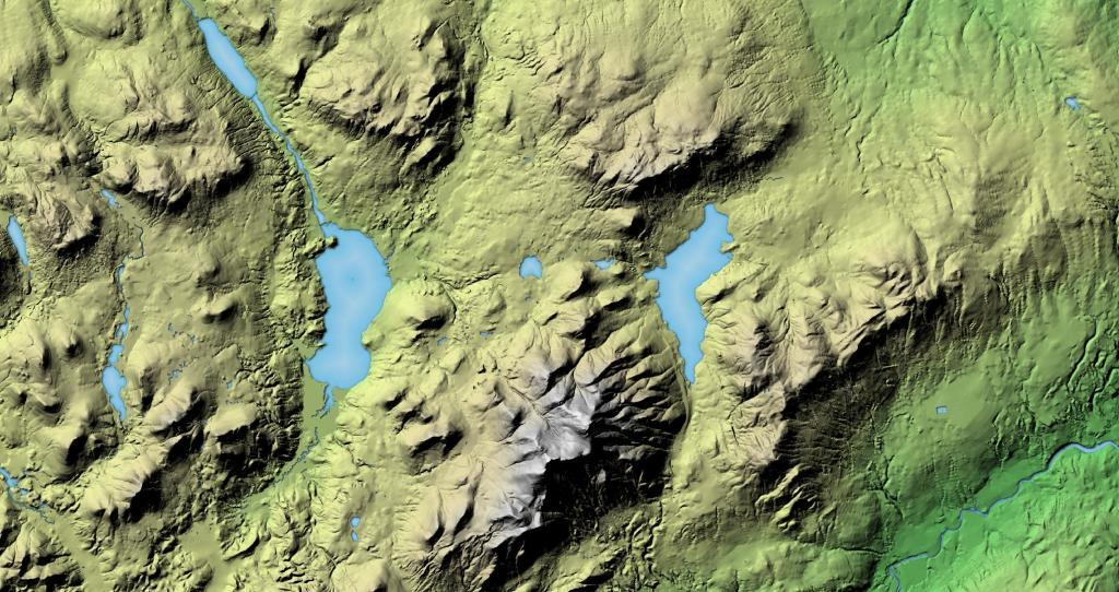
Looking at topographical maps of the landscape, like the ones I’ve posted lately, showing the landscape carved by glaciers and other geological forces, I think about how self-aggrandizing a view we have of mankind. Sure, man kind has had an important force on the landscape and ecological forces, but our time on the earth has been relatively short, the blip in the grand scheme of things.
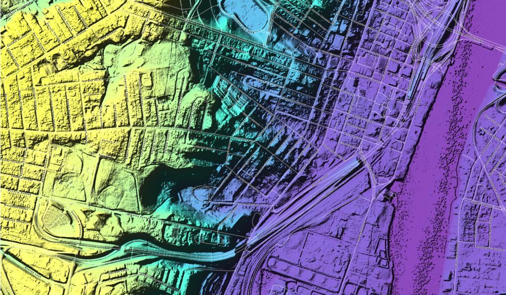
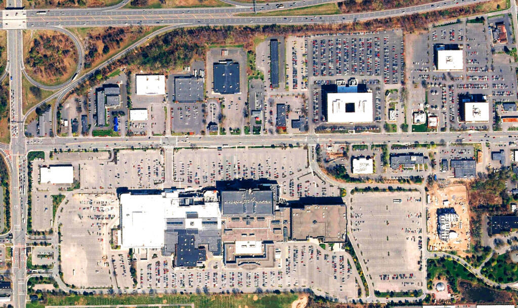
With LiDAR mapping, we can see how mankind has changed the surface of earth, moving materials around and blasting in the rock. But ultimately the carving that we have of the earth pales to the impact of natural forces such as glaciers and volcanos. We’ve been busy little beavers over the past century or two, but our time has been little on the earth compared to geological time.
In some ways, the notion that there is something bigger then mankind is rather reassuring. It’s nice to know that the world isn’t dependent on our success or failure, the planet will live on and change long after our rein is done. We’ve made it 80 years into the nuclear age, but we are well aware we may not make it another 80 years – and the carbonation of our atmosphere brought on by our species – will continue to outrun our control, probably leading to the elimination of our species.
But time marches on, and so we. I am not one to object that much too changes, as despite what we tell ourselves, in many ways we aren’t in control of our society’s ultimate destiny.
1968 Illinois earthquake – Wikipedia
The 1968 Illinois earthquake (a "New Madrid event") was the largest recorded earthquake in the U.S. Midwestern state of Illinois. Striking at 11:02 a.m. on November 9, it measured 5.4 on the Richter scale.
Although there were no fatalities, the event caused considerable structural damage to buildings, including the toppling of chimneys and shaking in Chicago, the region's largest city. The earthquake was one of the most widely felt in U.S. history, largely affecting 23 states over an area of 580,000 square miles (1,500,000 km2). In studying its cause, scientists discovered the Cottage Grove Fault in the Southern Illinois Basin.
Within the region, millions felt the rupture. Reactions to the earthquake varied: some people near the epicenter did not react to the shaking, while others panicked. A future earthquake in the region is extremely likely; in 2005, seismologists and geologists estimated a 90% chance of a magnitude 6–7 tremor before 2055, likely originating in the Wabash Valley seismic zone on the Illinois–Indiana border or the New Madrid fault zone.
Earth’s Magnetic North Pole Continues Drifting, Crosses Prime Meridian
The magnetic north pole is the point on the Earth that compasses designate as true north. It is the result of geological processes deep within the planet—molten iron flow creates a magnetic field with poles near the geographic North and South Poles. But unlike the geographic poles, the magnetic poles can move—and the magnetic north pole has been moving faster in recent years, which made necessary the early update of the WMM.
The WMM is a model maintained jointly by the U.S. National Oceanic and Atmospheric Administration and the British Geological Survey—its purpose is to show what Earth's magnetic field looks like, most particularly, where the locations of the magnetic poles lie.
Carboniferous In a Bottle
I build a terrarium with conditions present on earth over 300 million years ago.


