Taconics
Valley
Hudson Valley Community College, mid-1990s
Above is an interactive photo of the Hudson Valley Community College. The view on the left is from the late 2010s, while the view on the right is as it looked in mid-1990s. By clicking on the layers button in the upper right hand corner, you can load contemporary images or scroll to anywhere else in the state. Uses the WMS-feed from NYS GIS.
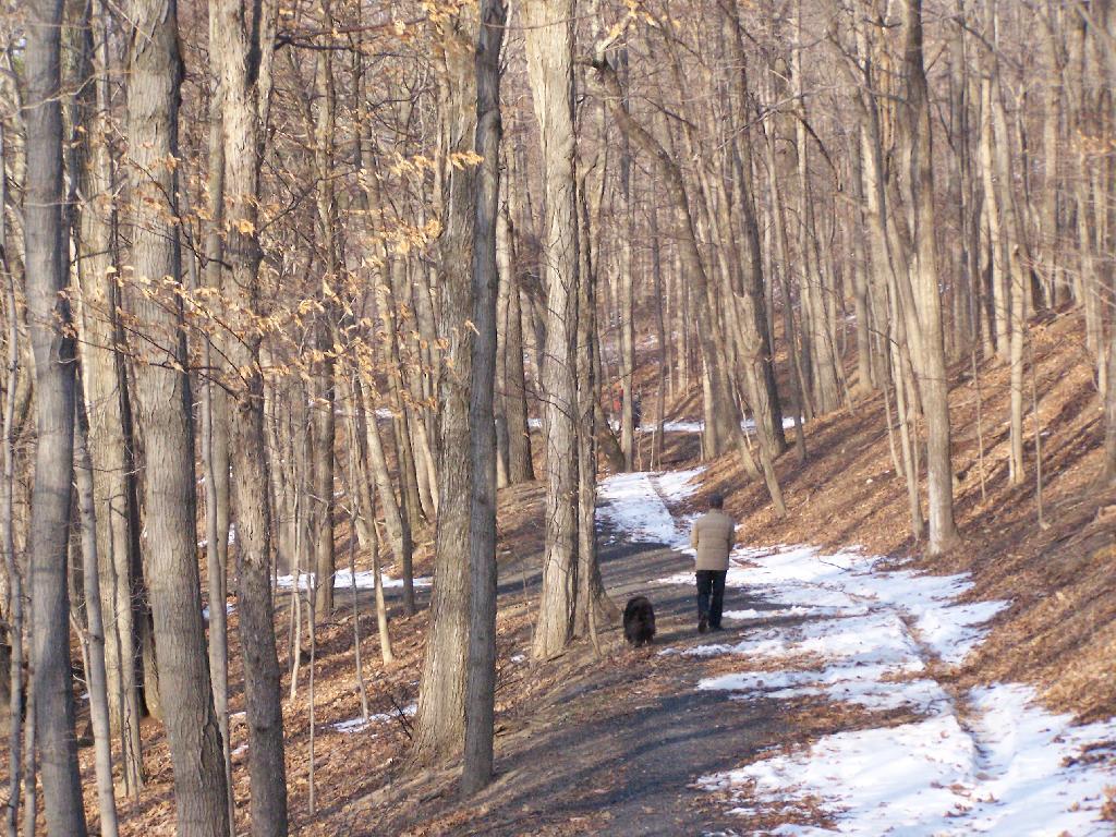
Walking A Dog
After Dark
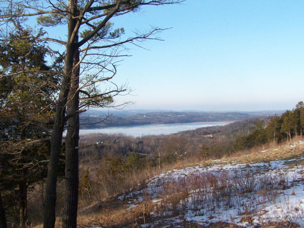
Overlooking the Hill
Taconic Trail
The Taconic Trail (NY Route 2) winding up it's way over the Taconic Crest into Massachusetts. The south-west corner of Vermont is in the upper west corner of this image - you can add state lines to see in greater detail. I've always kind of liked that little run-down homestead up in the shadow of the mountain as you start to climb this rather rough road. Much of the wild land in his photo is either the Taconic Ridge State Forest or the lands of Williams College.
