Counties: Albany to Delaware / Dutchess to Livingston / Madison to Otsego / Putnam to Suffolk / Sullivan to Yates
Browse Topographic Maps: Full State / Historical USGS Topographic Maps
Counties: Albany to Delaware / Dutchess to Livingston / Madison to Otsego / Putnam to Suffolk / Sullivan to Yates
Browse Topographic Maps: Full State / Historical USGS Topographic Maps
Smile, it’s going to be a nice day and not a work day for once. Walked 65.3 miles last week, doing my best to continue that record this week.
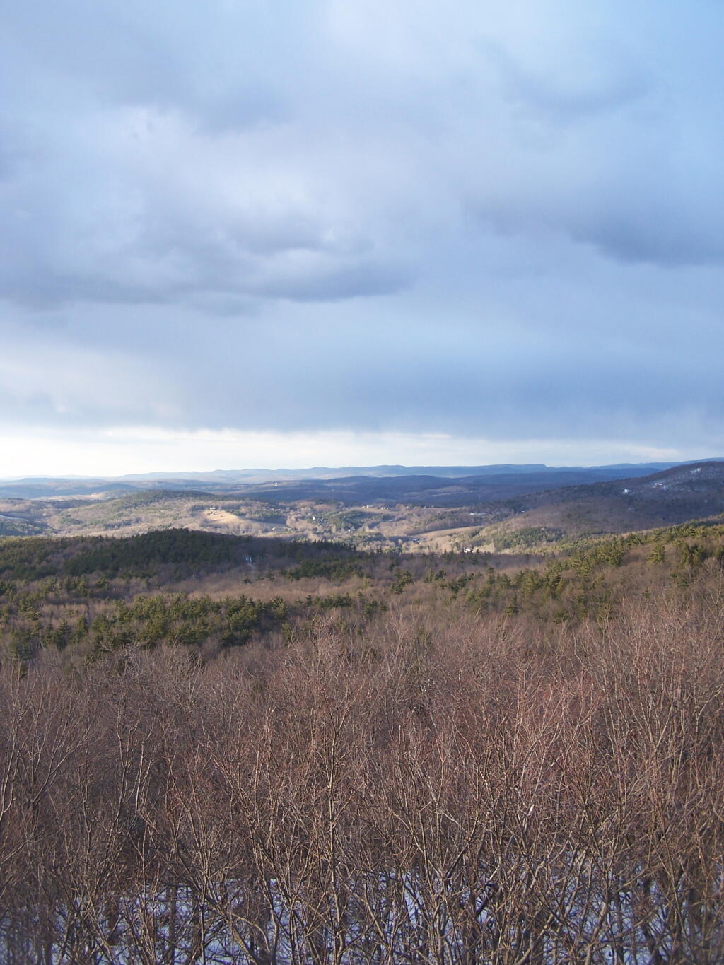
Mostly cloudy and 39 degrees in Delmar as I walk down to Norman’s Kills Falls. ⛅ There is a southwest breeze at 10 mph. 🍃. A bit chilly and damp this morning but it will improve later on.
I was impressed that I walked 65.3 miles last week and I’m at mile 200 for the month. 🚶 It feels good as is quiting processed foods and processed sugars. The worse thing is reducing the pushers that keep trying to push the crap down your throat. Now I finally understand what the DARE program was about, resisting that crap friends and families try to ram down your throat. 🐑 It’s only doughnuts 🍩, what’s wrong with shooting a little heroin, I mean sugar once and a while.
Today will be partly sunny 🌞, with a high of 53 degrees at 3pm. Four degrees above normal, which is similar to a typical day around April 2nd. West wind 10 to 17 mph, with gusts as high as 28 mph. A year ago, we had partly cloudy skies in the morning, which became light rain by afternoon. The high last year was 50 degrees. The record high of 75 was set in 2021. 6.1 inches of snow fell back in 1899.❄
While I was hoping to hike the rail trail 🚂 without getting runover by yuppies 🏃 I knew that was unlikely. It will be a complete orgy of yuppie shit later on but I hope to be off the trail by then and eating either lunch or hiking Bennett Hill by then.
Solar noon 🌞 is at 1:02 pm with sun having an altitude of 49.5° from the due south horizon (-21.3° vs. 6/21). A six foot person will cast a 5.1 foot shadow today compared to 2.2 feet on the first day of summer. The golden hour 🏅 starts at 6:37 pm with the sun in the west (268°). 📸
The sunset is in the west (274°) with the sun dropping below the horizon at 7:14 pm after setting for 2 minutes and 54 seconds with dusk around 7:42 pm, which is one minute and 8 seconds later than yesterday. 🌇 At dusk you’ll see the First Quarter 🌓 Moon in the west-southwest (250°) at an altitude of 56° from the horizon, 245,341 miles away. 🚀 The best time to look at the stars is after 8:16 pm. At sunset, look for mostly clear skies 🌄 and temperatures around 47 degrees. There will be a northwest breeze at 8 mph. Today will have 12 hours and 28 minutes of daytime, an increase of 2 minutes and 53 seconds over yesterday.
Tonight will be mostly clear 🌃, with a low of 31 degrees at 6am. One degree above normal, which is similar to a typical night around March 30th. Northwest wind 5 to 8 mph. In 2022, we had cloudy skies. It got down to 22 degrees. The record low of 11 occurred back in 1974.
Looking ahead , there are 2 weeks until 7:30 PM Sunset 🌇 with dusk at 7:58 pm. On that day in 2022, we had rain and temperatures between 52 and 36 degrees. Typically, the high temperature is 56 degrees. We hit a record high of 77 back in 1991.
Counties: Albany to Delaware / Dutchess to Livingston / Madison to Otsego / Putnam to Suffolk / Sullivan to Yates
Browse Topographic Maps: Full State / Historical USGS Topographic Maps
Counties: Albany to Delaware / Dutchess to Livingston / Madison to Otsego / Putnam to Suffolk / Sullivan to Yates
Browse Topographic Maps: Full State / Historical USGS Topographic Maps
| PDF (50-60 MB Download) | Historical USGS Topo Maps | State Lands (Links to DEC Website) | Towns (Percent of Town’s Area) |
|---|---|---|---|
Current Amsterdam GeoPDF Map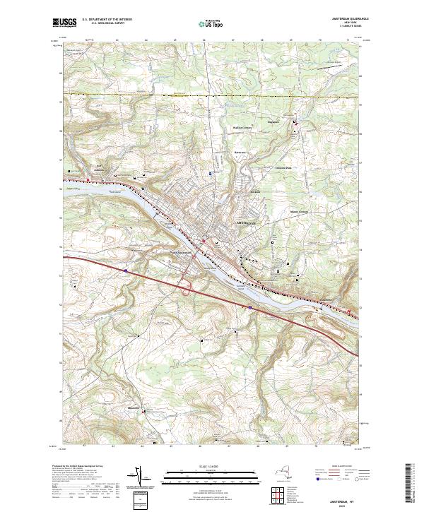 |
1954 Map No. 136622, 1954 Map No. 136623, 1954 Map No. 136624, 1954 Map No. 137071 | NA | Amsterdam city (100%), Amsterdam (56%), Duanesburg (0%), Florida (47%), Perth (28%), Princetown (0%) |
Current Canajoharie GeoPDF Map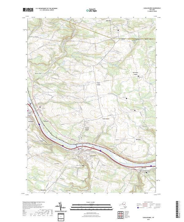 |
1944 Map No. 123405, 1944 Map No. 123406 | NA | Canajoharie (28%), Ephratah (9%), Minden (1%), Palatine (84%), Root (3%), St. Johnsville (9%) |
Current Carlisle GeoPDF Map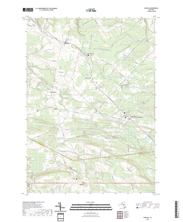 |
1943 Map No. 122809, 1943 Map No. 122810 | Rural Grove State Forest, Yatesville Falls State Forest | Carlisle (36%), Charleston (28%), Glen (5%), Root (56%) |
Current Duanesburg GeoPDF Map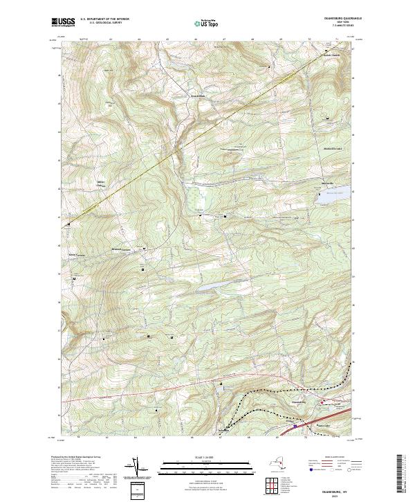 |
1954 Map No. 137906, 1954 Map No. 137907, 1954 Map No. 137909 | Featherstonhaugh State Forest | Duanesburg (59%), Esperance (0%), Florida (24%) |
Current East Springfield GeoPDF Map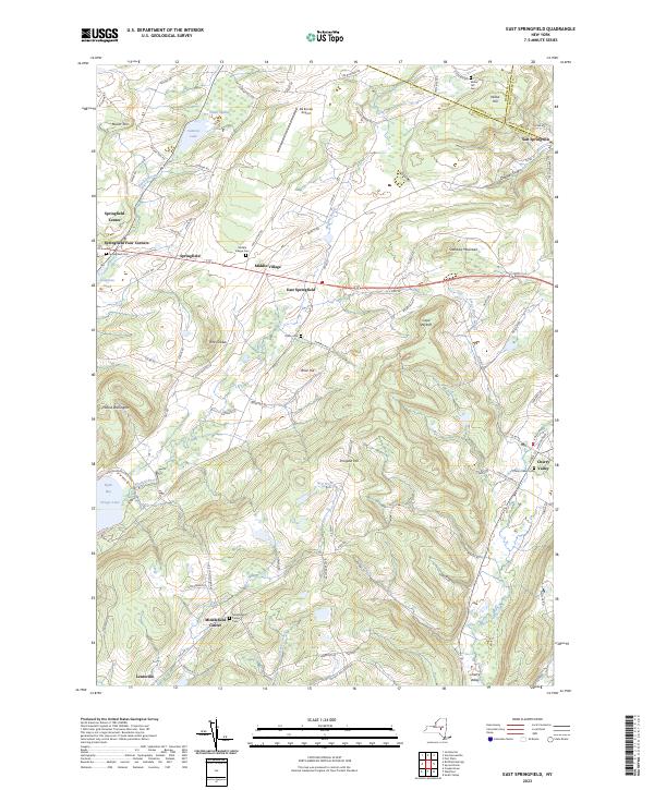 |
1943 Map No. 138023, 1943 Map No. 138024 | NA | Cherry Valley (34%), Middlefield (19%), Minden (1%), Otsego (0%), Roseboom (4%), Springfield (57%), Stark (3%) |
Current Esperance GeoPDF Map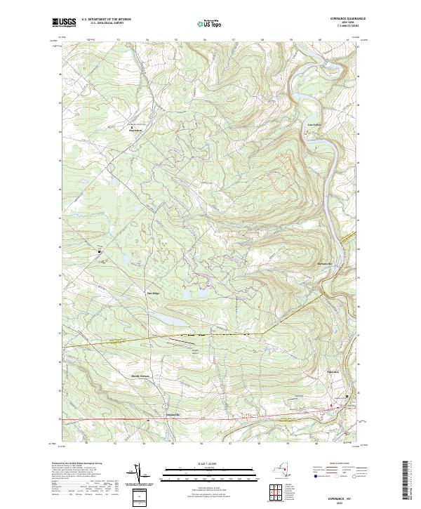 |
1943 Map No. 138118, 1943 Map No. 138120 | Lost Valley State Forest, Charleston State Forest | Carlisle (9%), Charleston (72%), Duanesburg (3%), Esperance (54%), Florida (7%), Glen (11%) |
Current Fort Plain GeoPDF Map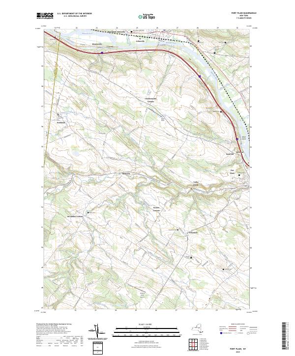 |
1944 Map No. 138157, 1944 Map No. 138280 | NA | Canajoharie (9%), Danube (4%), Manheim (0%), Minden (87%), Palatine (2%), St. Johnsville (25%) |
Current Oppenheim GeoPDF Map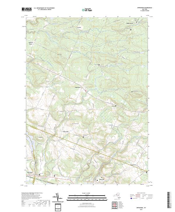 |
1945 Map No. 128927, 1945 Map No. 128928 | Fulton FP Detached Parcel, Lassellsville State Forest, Ferris Lake Wild Forest | Danube (0%), Manheim (3%), Oppenheim (75%), Salisbury (0%), St. Johnsville (62%), Stratford (1%) |
Current Pattersonville GeoPDF Map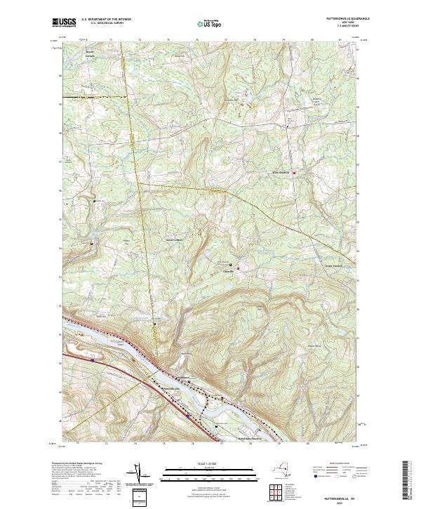 |
1954 Map No. 135974, 1954 Map No. 135975 | NA | Amsterdam (30%), Charlton (37%), Duanesburg (0%), Florida (5%), Galway (13%), Glenville (40%), Perth (6%), Princetown (7%), Rotterdam (5%) |
Current Randall GeoPDF Map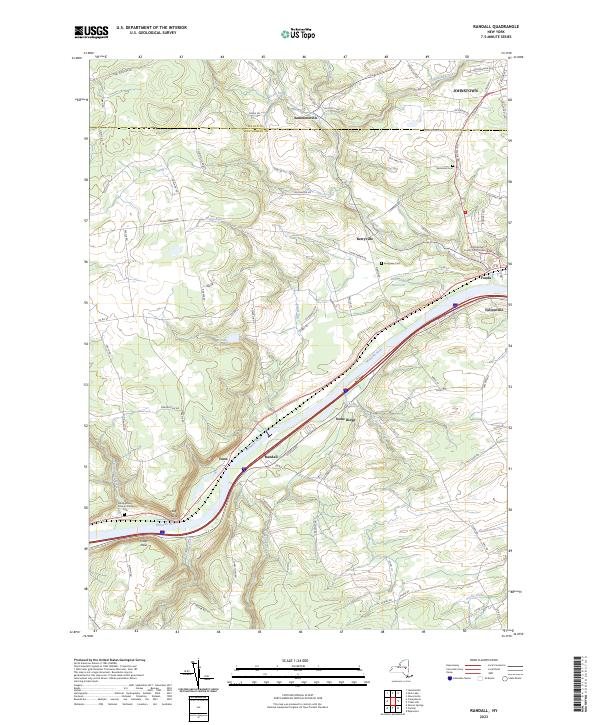 |
1944 Map No. 136007, 1944 Map No. 136008, 1944 Map No. 136009 | Yatesville Falls State Forest | Ephratah (1%), Glen (28%), Johnstown city (27%), Johnstown (7%), Mohawk (62%), Palatine (14%), Root (18%) |
Current Sharon Springs GeoPDF Map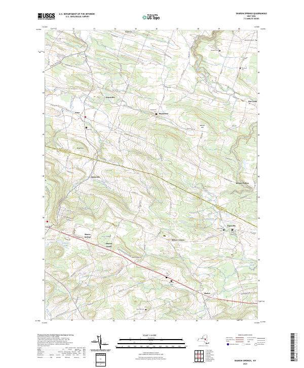 |
1943 Map No. 136148, 1943 Map No. 136149, 1943 Map No. 136150 | NA | Canajoharie (39%), Carlisle (8%), Root (23%), Seward (0%), Sharon (61%) |
Current Sprout Brook GeoPDF Map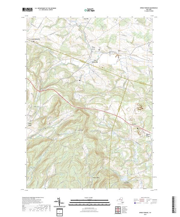 |
1943 Map No. 136932, 1943 Map No. 139853, 1943 Map No. 139854 | Cherry Valley State Forest, Honey Hill State Forest | Canajoharie (24%), Cherry Valley (66%), Minden (9%), Roseboom (9%), Sharon (26%) |
Current Tribes Hill GeoPDF Map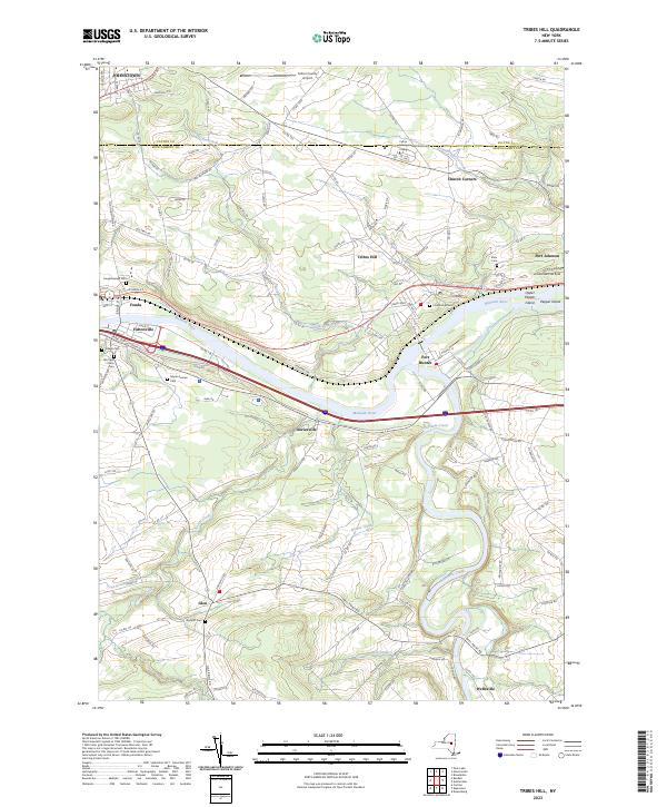 |
1944 Map No. 139361, 1944 Map No. 139363 | NA | Amsterdam (13%), Florida (17%), Glen (56%), Johnstown city (8%), Johnstown (6%), Mohawk (38%), Perth (8%) |
Current Van Hornesville GeoPDF Map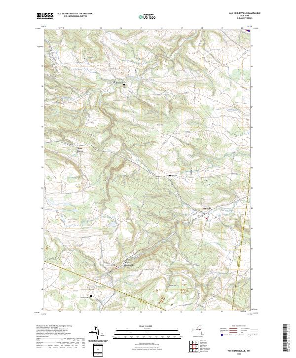 |
1943 Map No. 139474, 1943 Map No. 139475 | Otsquago State Forest, Ohisa State Forest, Van Hornesville Fish Hatchery | Danube (69%), Little Falls (7%), Minden (2%), Springfield (6%), Stark (90%), Warren (0%) |
| PDF (50-60 MB Download) | Historical USGS Topo Maps | State Lands (Links to DEC Website) | Towns (Percent of Town’s Area) |
|---|---|---|---|
Current Brooklyn GeoPDF Map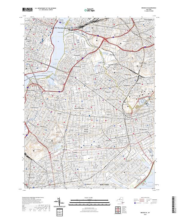 |
1947 Map No. 123124, 1956 Map No. 123127, 1956 Map No. 123128, 1967 Map No. 123129, 1967 Map No. 123130, 1967 Map No. 123131, 1967 Map No. 123132, 1995 Map No. 137132 | NA | Brooklyn borough (47%), Manhattan borough (18%), Queens borough (10%) |
Current Central Park GeoPDF Map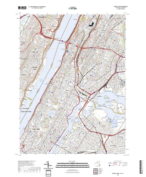 |
1947 Map No. 122894, 1956 Map No. 122895, 1956 Map No. 122896, 1966 Map No. 122897, 1966 Map No. 122898, 1966 Map No. 122899, 1966 Map No. 122900, 1995 Map No. 137165 | Bronx River Trail | Bronx borough (31%), Manhattan borough (68%), Queens borough (7%) |
Current Jersey City GeoPDF Map |
NA | NA | Brooklyn borough (7%), Manhattan borough (12%), Staten Island borough (7%) |
| PDF (50-60 MB Download) | Historical USGS Topo Maps | State Lands (Links to DEC Website) | Towns (Percent of Town’s Area) |
|---|---|---|---|
Current Akron GeoPDF Map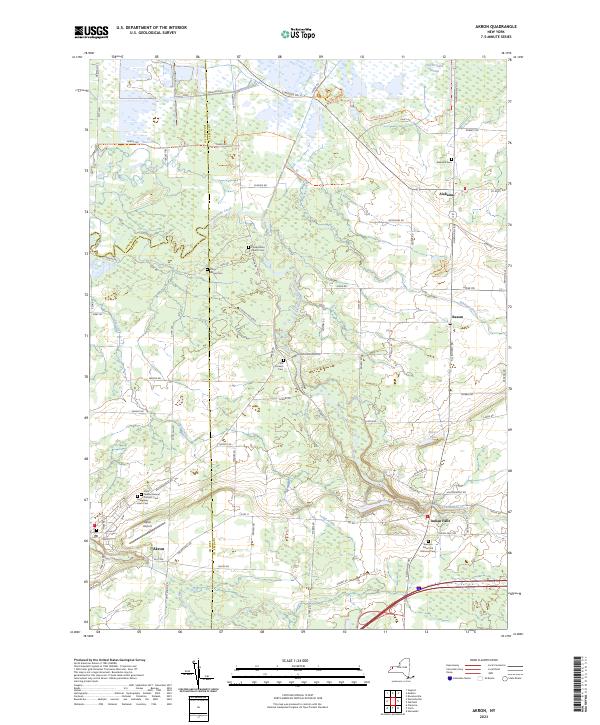 |
1949 Map No. 136539, 1951 Map No. 136540, 1951 Map No. 710097 | Onondaga Escarpment Unique Area, John White WMA, Tonawanda WMA | Alabama (46%), Newstead (17%), Pembroke (24%), Royalton (6%), Tonawanda Reservation (100%), Tonawanda Reservation (100%), Tonawanda Reservation (100%) |
Current Barker GeoPDF Map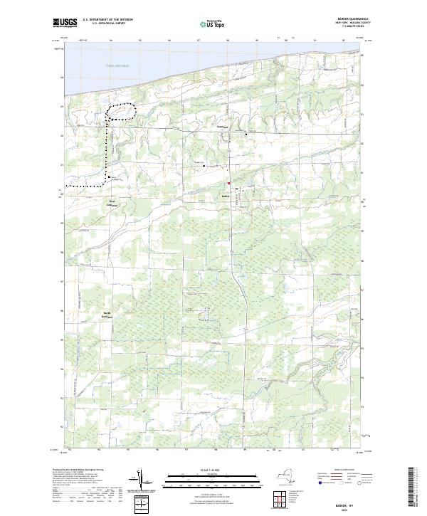 |
1949 Map No. 123175, 1965 Map No. 123176 | Hartland Swamp WMA | Hartland (45%), Somerset (73%) |
Current Cambria GeoPDF Map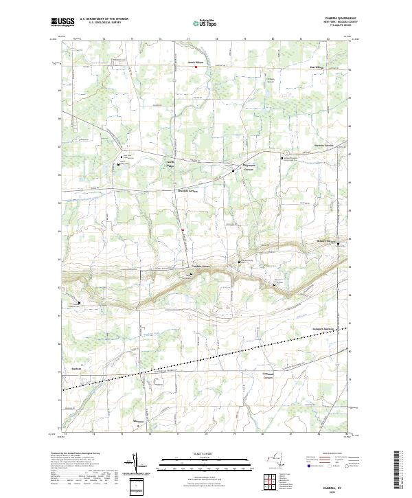 |
1949 Map No. 123146, 1965 Map No. 123148 | NA | Cambria (92%), Lockport (3%), Newfane (1%), Pendleton (8%), Wheatfield (5%), Wilson (25%) |
Current Clarence Center GeoPDF Map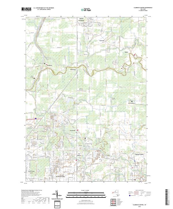 |
1950 Map No. 137625, 1950 Map No. 137626, 1965 Map No. 137627 | Great Baehre Swamp WMA | Amherst (28%), Clarence (41%), Lockport (21%), Pendleton (29%) |
Current Fort Niagara GeoPDF Map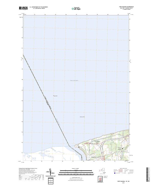 |
NA | NA | Porter (13%) |
Current Gasport GeoPDF Map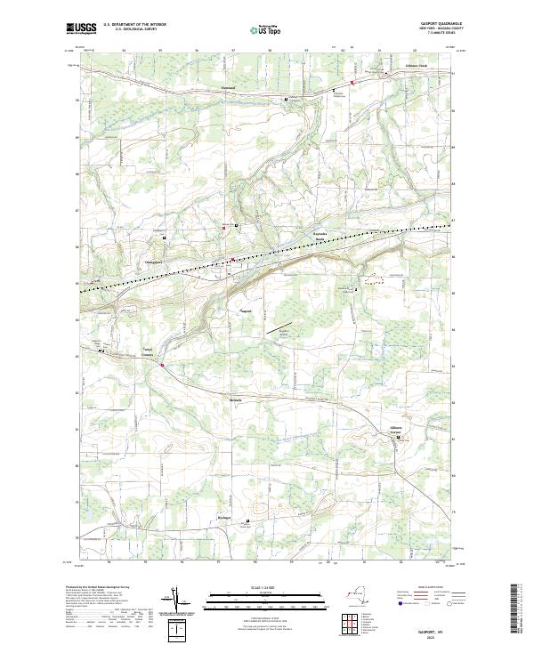 |
1950 Map No. 129475, 1965 Map No. 129476 | NA | Hartland (27%), Lockport (4%), Royalton (55%) |
Current Lewiston GeoPDF Map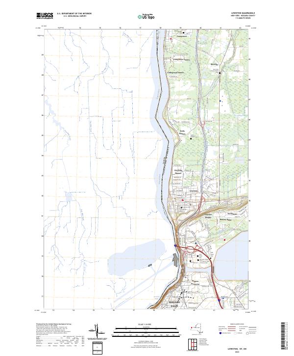 |
1950 Map No. 130254, 1965 Map No. 130255 | NA | Lewiston (37%), Niagara Falls city (3%), Niagara (10%), Porter (17%) |
Current Lockport GeoPDF Map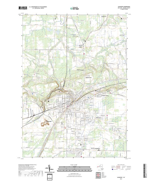 |
1950 Map No. 130317, 1965 Map No. 130318 | NA | Hartland (2%), Lockport city (100%), Lockport (69%), Newfane (24%), Pendleton (5%) |
Current Lyndonville GeoPDF Map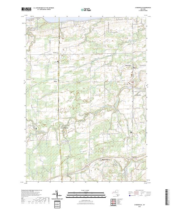 |
1951 Map No. 130384, 1951 Map No. 130385 | NA | Hartland (13%), Ridgeway (34%), Somerset (22%), Yates (59%) |
Current Medina GeoPDF Map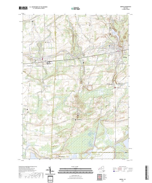 |
1949 Map No. 130524, 1951 Map No. 130527 | Tonawanda WMA | Alabama (4%), Hartland (9%), Ridgeway (20%), Royalton (16%), Shelby (58%) |
Current Newfane GeoPDF Map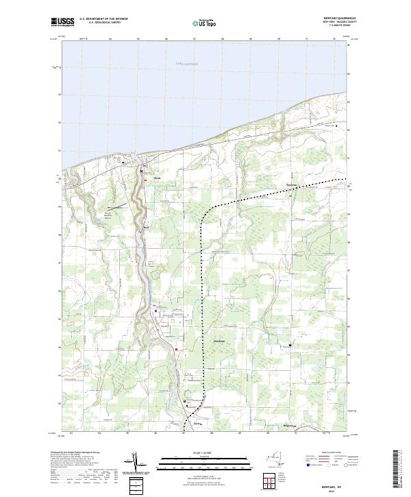 |
1950 Map No. 130845, 1965 Map No. 130846 | NA | Hartland (4%), Newfane (73%), Somerset (5%) |
Current Niagara Falls GeoPDF Map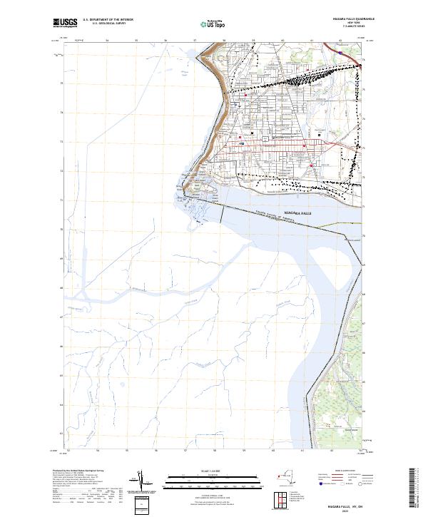 |
1949 Map No. 128711, 1965 Map No. 128712 | NA | Grand Island (9%), Niagara Falls city (67%), Niagara (10%) |
Current Ransomville GeoPDF Map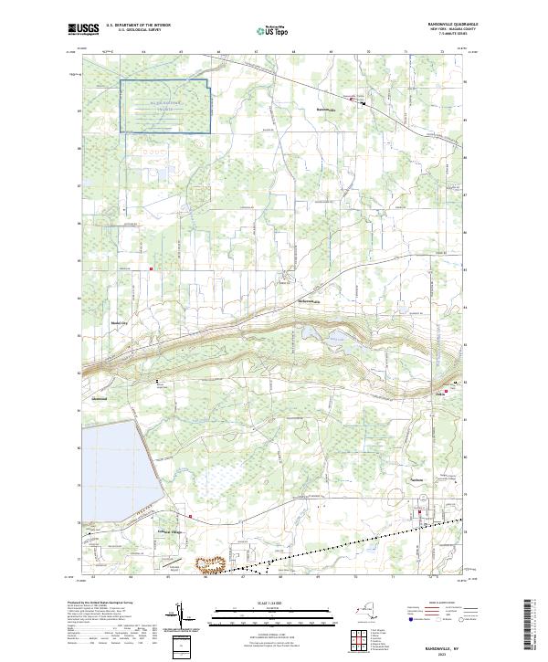 |
1950 Map No. 136015, 1965 Map No. 136016 | NA | Cambria (8%), Lewiston (63%), Niagara (15%), Porter (31%), Tuscarora Nation Reservation (100%), Wheatfield (6%), Wilson (5%) |
Current Sixmile Creek GeoPDF Map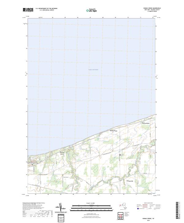 |
1949 Map No. 136173, 1965 Map No. 136174, 1973 Map No. 136175 | NA | Porter (38%), Wilson (10%) |
Current Tonawanda East GeoPDF Map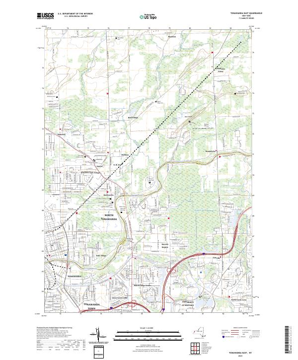 |
1950 Map No. 139339, 1950 Map No. 139340, 1965 Map No. 139341, 1980 Map No. 139342 | NA | Amherst (31%), North Tonawanda city (64%), Pendleton (57%), Tonawanda city (41%), Tonawanda (13%), Wheatfield (39%) |
Current Tonawanda West GeoPDF Map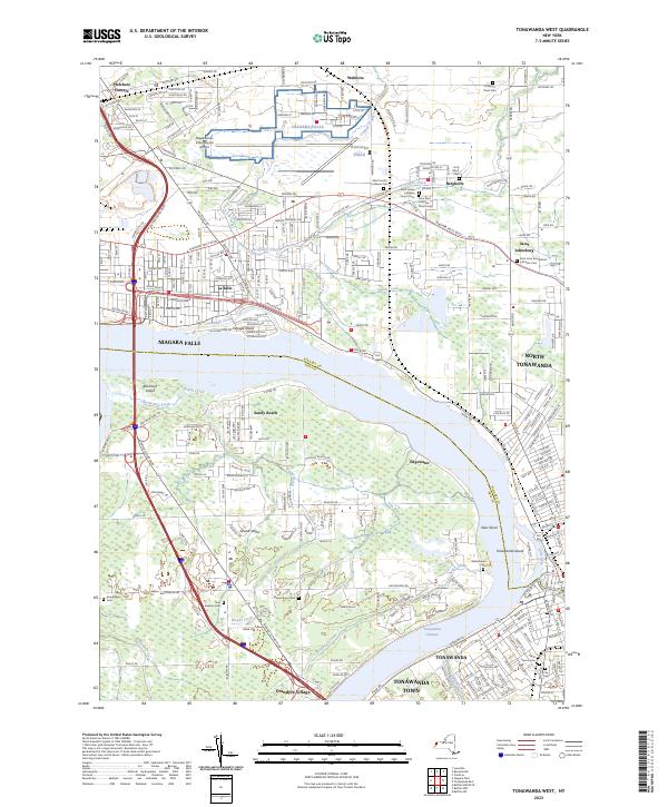 |
1948 Map No. 139343, 1948 Map No. 139344, 1950 Map No. 139345, 1965 Map No. 139347 | Spicer Creek WMA | Grand Island (66%), Niagara Falls city (30%), Niagara (65%), North Tonawanda city (36%), Tonawanda city (57%), Tonawanda (3%), Wheatfield (51%) |
Current Wilson GeoPDF Map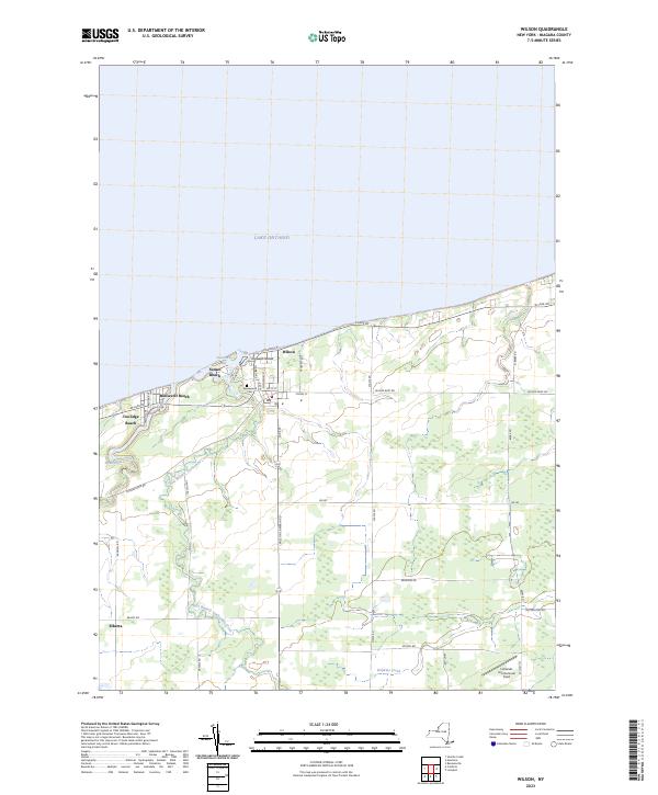 |
1949 Map No. 140342, 1965 Map No. 140343 | NA | Newfane (3%), Wilson (60%) |
Current Wolcottsville GeoPDF Map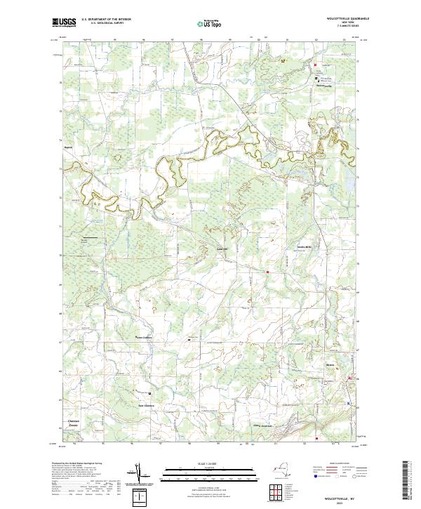 |
1950 Map No. 140363, 1965 Map No. 140364 | Tonawanda WMA, Tonawanda Creek Fishing Access | Clarence (25%), Lockport (2%), Newstead (47%), Royalton (23%) |
Counties: Albany to Delaware / Dutchess to Livingston / Madison to Otsego / Putnam to Suffolk / Sullivan to Yates
Browse Topographic Maps: Full State / Historical USGS Topographic Maps
