St. Lawrence County is a county located in the U.S. state of New York. As of the 2010 census, the population was 111,944.[1] The county seat is Canton.
Saint Lawrence County is home to St. Lawrence University, State University of New York at Potsdam, Clarkson University, the SUNY-ESF Ranger School, and the State University of New York at Canton. Part of the County is in the Adirondack Park and includes much of the Oswegatchie River, Cranberry Lake and Lake Ozonia.
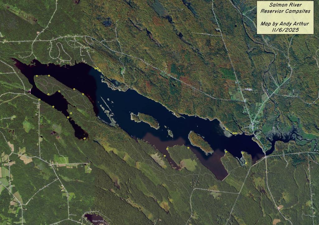
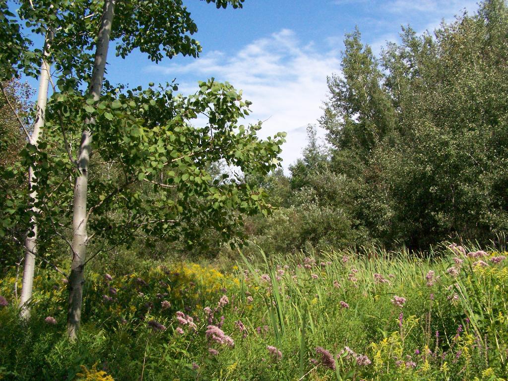
Explore this page for comprehensive maps and campsite listings along the stunning Bog River Flow, also referred to as Lows and Hitchens Pond, nestled in the Adirondacks. Equipped with coordinates and interactive maps, this valuable resource aids in locating free camping spots within this scenic region. Discover more about the Lows Lake area, adjacent to Horsehoe Pond, situated off NY 3 and NY 421, approximately ten miles south of Tupper Lake.
Interactive map of campsites along Bog River Flow.
Here is a downloadable map.
Here is a list of the campsites in the Bog River Flow – Hitchens Pond and Lows Lake. You can download this on Google Sheets.
Name
Notes
coord
Big Deer Pond Campsite
Campsite 2 on Oswegatchie River Canoe Carry
44.07066499203909,-74.83562688410296
Bog Lake Campsite
Campsite on knoll under hemlocks. No obvious privy
44.04597400340542,-74.76877997265527
Bog River Primitive Campsite 1
Designated campsite
44.11498202693457,-74.62835933121629
Bog River Primitive Campsite 2
Designated campsite
44.112697282644255,-74.63814827173313
Bog River Primitive Campsite 3
Designated campsite
44.11709452942677,-74.6416450967812
Bog River Primitive Campsite 4
Designated campsite. With short privy
44.11703559376099,-74.66030250230646
Bog River Primitive Campsite 5
Designated campsite. With short privy
44.11438984664461,-74.66461339832713
Bog River Primitive Campsite 6
Designated campsite with pit privy. Full sized privy
44.11147789052526,-74.66585509269002
Bog River Primitive Campsite 7
Designated campsite. With short privy
44.11022932303285,-74.66826136834727
Bog River Primitive Campsite 8
Designated campsite. With short privy
44.10742088225655,-74.6691164912543
Bog River Primitive Campsite 9
Designated campsite. With short privy
44.10503371724627,-74.67884988872132
Bog River Primitive Campsite 10
Designated campsite with pit privy. Full sized privy
44.10140804214472,-74.69038422222768
Bog River Primitive Campsite 11
Designated campsite. With short privy
44.099078711392714,-74.6930712072797
Bog River Primitive Campsite 12
Designated campsite. With short privy
44.0978314008462,-74.69999139028391
Boone’s Landing Primitive Campsite
Deisgnated campsite with short privy. Checked 04/2016.
44.07626703407614,-74.77451394551568
Clear Pond Campsite
Primitive campsite with short privy
44.04310127384352,-74.76343793716421
Grass Pond Primitive Campsite 31
Designated campsite with pit privy
44.092147034884384,-74.79863219015742
Lows Lake Primitive Campsite 13
Designated campsite. Poor condition and overused. With short privy.
North of the Adirondack Park lays a mixture of farm country and sand plains. Some of the land is fertile and used for dairying and other crop growing, but much of it is pretty shallow and easily damaged by the destructive practices of the iron industry, which burned much of the forests at one point for making iron.
Nowadays much of this land is part of State Forest system set into place when Franklin Roosevelt was Governor of New York, Brasher State Forest (St. Lawrence County; lands to the east) and Bombay State Forest (Franklin County; lands to east). Switch to the OpenStreetMap or USGS Topo DRG layers for more information about the forest or browse the blog in category below for more maps.
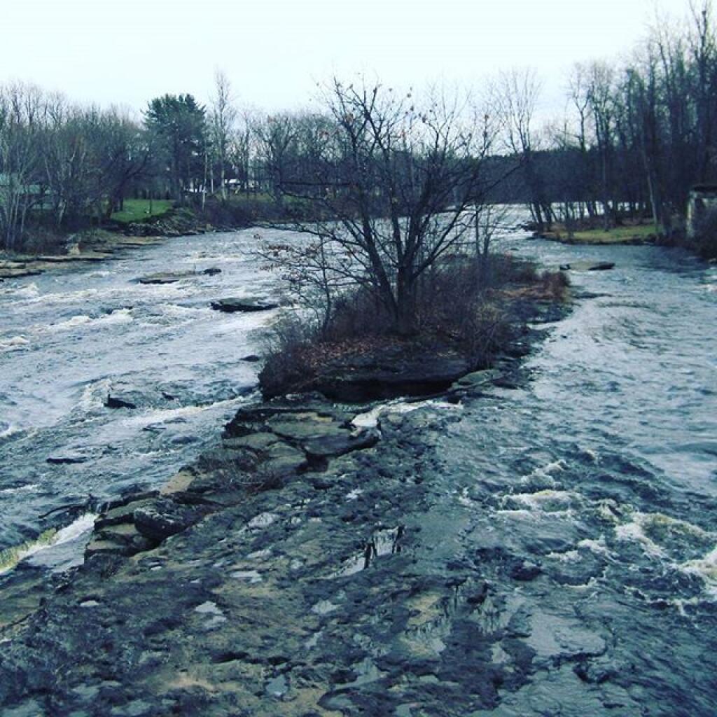
It is crossed by two major rivers - the Saint Regis River and Deer River. Camping is a popular activity at Walter Pratt Camping Area, a free-campground on Redwater Pond.