Rensselearville
Final Campfire of My 30s
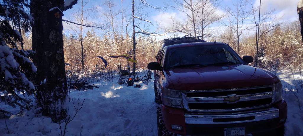
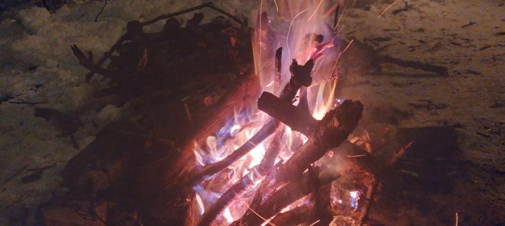
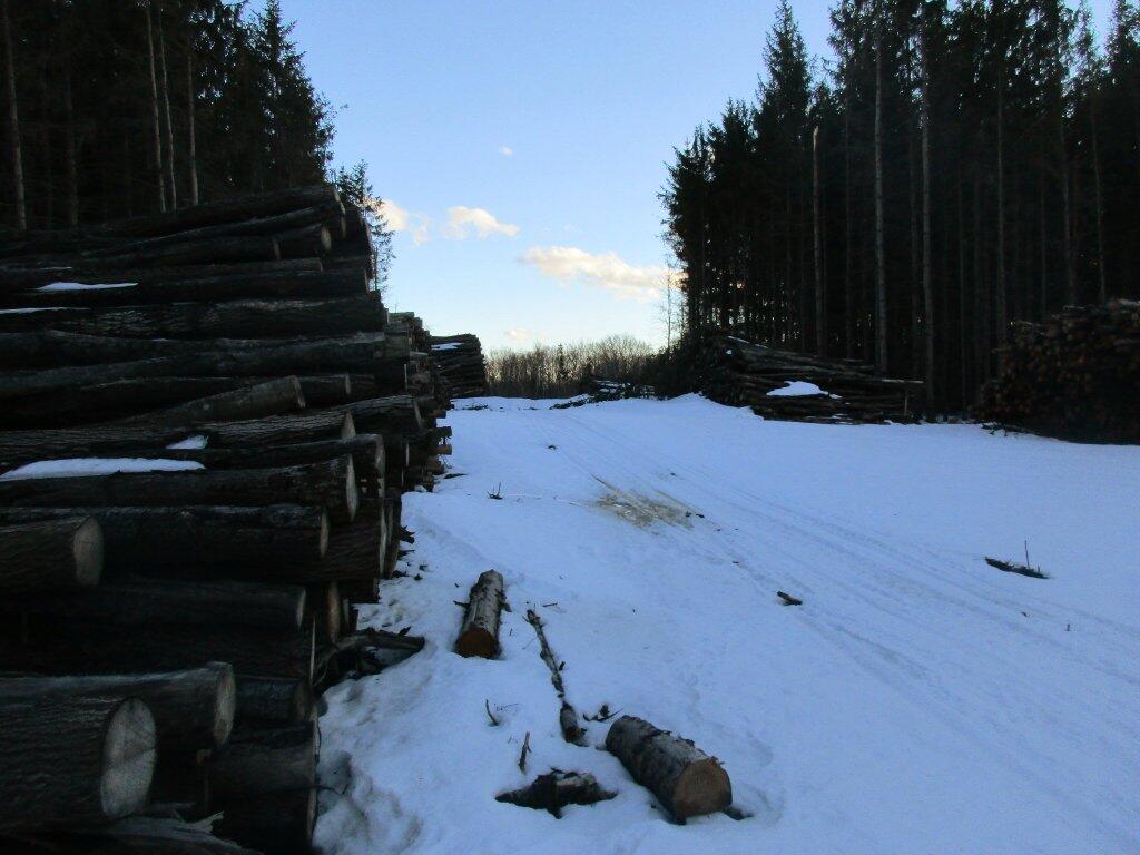
Don't look back, burn some bridges and paper, I tell myself as I enjoy my final campfire of my 30s, in my little celebration of my birthday in the woods.
Taken on Saturday January 28, 2023 at Rensselearville State Forest.God Rays
Preston Hollow
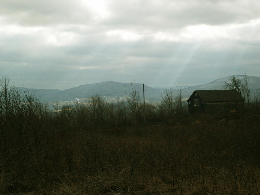
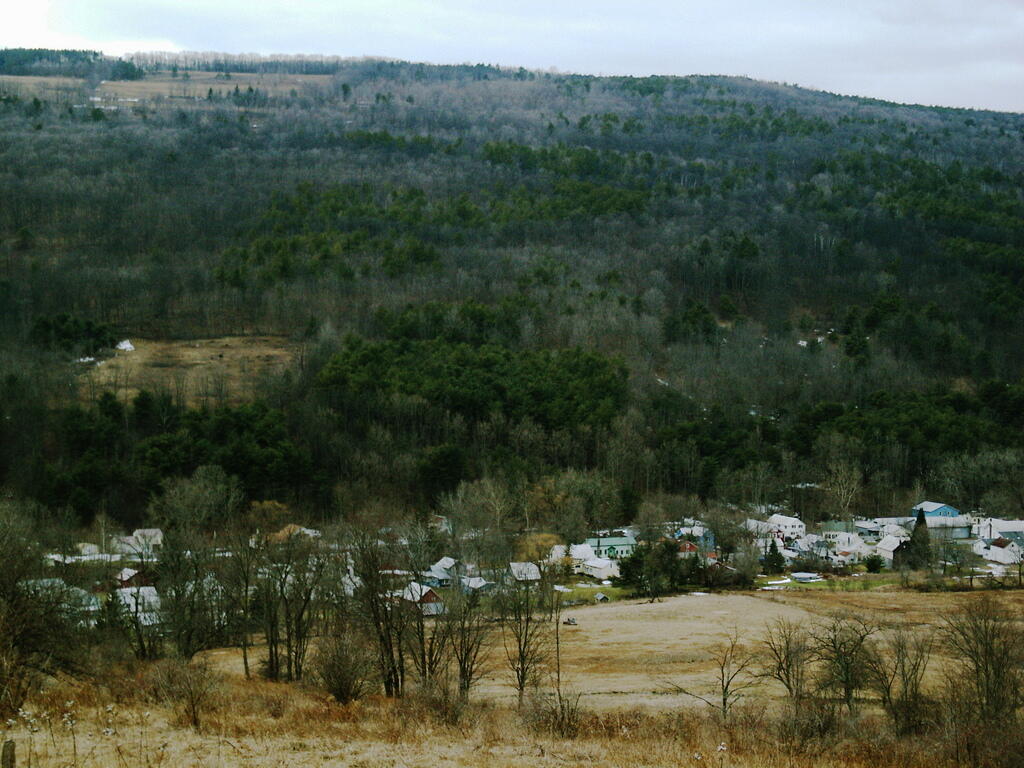
Years ago when I was younger, I used to spend a lot of time exploring the back roads. One of my favorite to explore was off of Cheese Hill Road, as it has some unique views of the Catskill Mountains and the rural hills of Albany and Schoharie Counties. Preston Hollow is kind of a classic Appalachian hamlet in a deep hollow like you might find in many parts of Pennsylvania, West Virginia or the rest of the Appalachian towns.
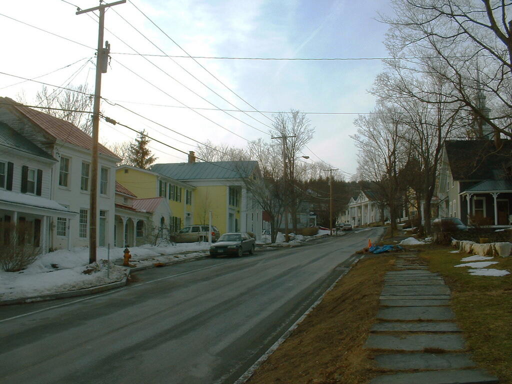
Taken on Wednesday February 4, 2009 at Rensselearville.