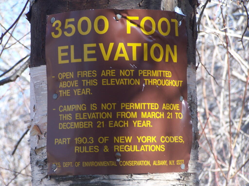
The DEC has a series of regulations prohibiting camping, that's why they clearly tell you have reached 3,500 feet. This is the second sign I saw climbing Plateau Mountain. The older one was farther down the trail, which makes me think it was put up in the pre-GPS era and the forest ranger put it too low.
Taken on Sunday April 12, 2009 at Plateau Mountain.
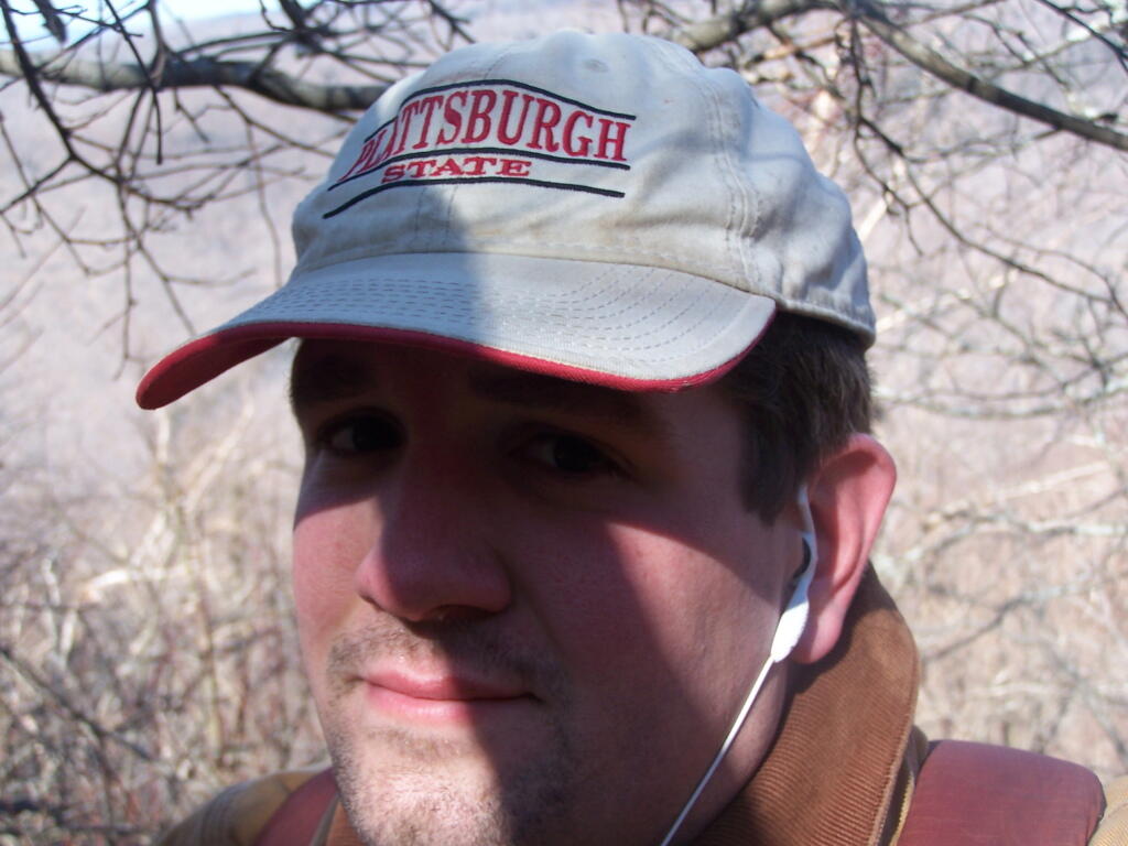
Here is a picture of me climbing Plateau Mountain.
Taken on Sunday April 12, 2009 at Plateau Mountain.
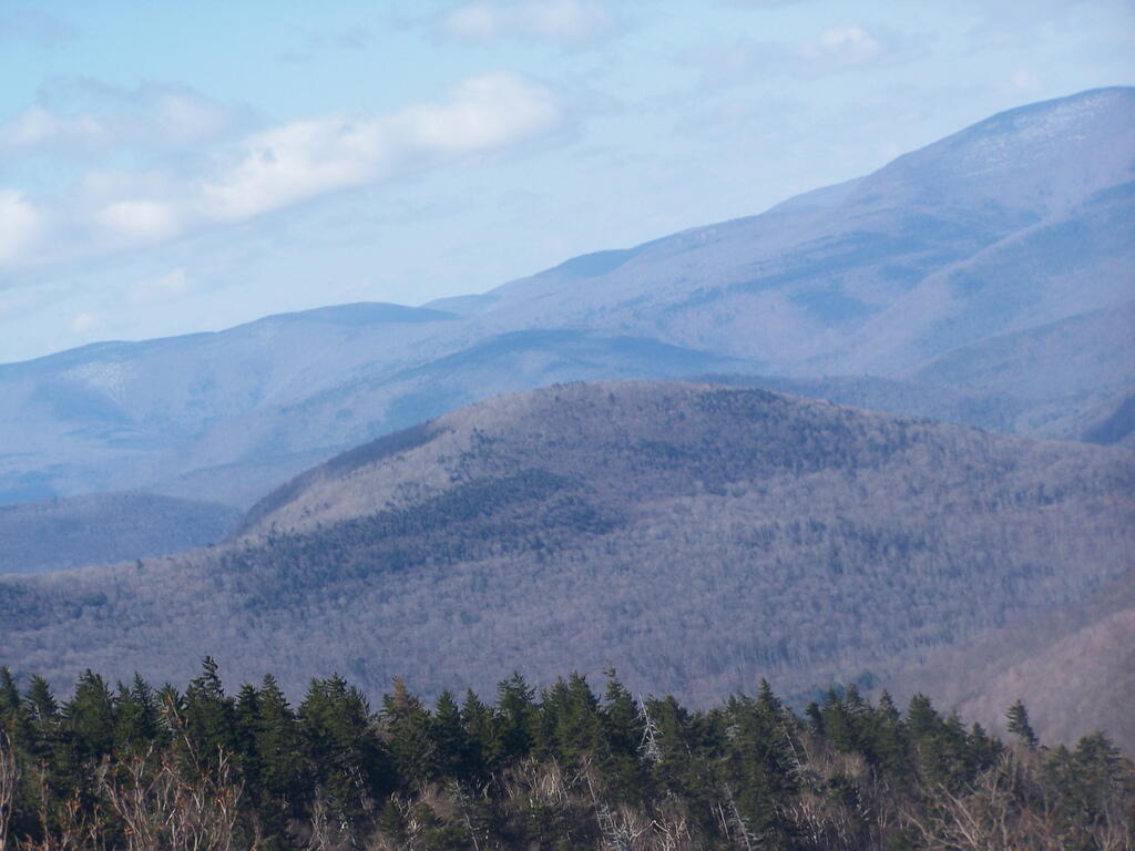
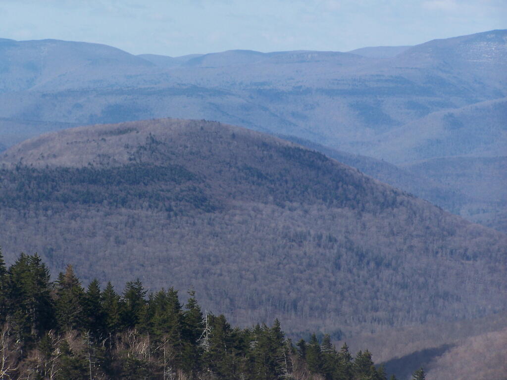
Sheridan Mountain, with Garfield Mountains in background with Shandaken and Pheonica hiding in the Woodland Valley.
Taken on Sunday April 12, 2009 at Plateau Mountain.
Continuing to climb up Plateau Mountain, there is this rock face you can climb up and look off. About 3/4 the way up, it's a nice place to stop and take a break.
Taken on Sunday April 12, 2009 at Plateau Mountain.
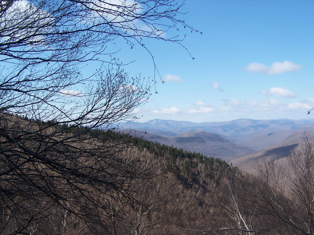
West Kill Mountain, Sheridan Mountain, looking south-west as I climb Plateau Mountain.
Taken on Sunday April 12, 2009 at Plateau Mountain.
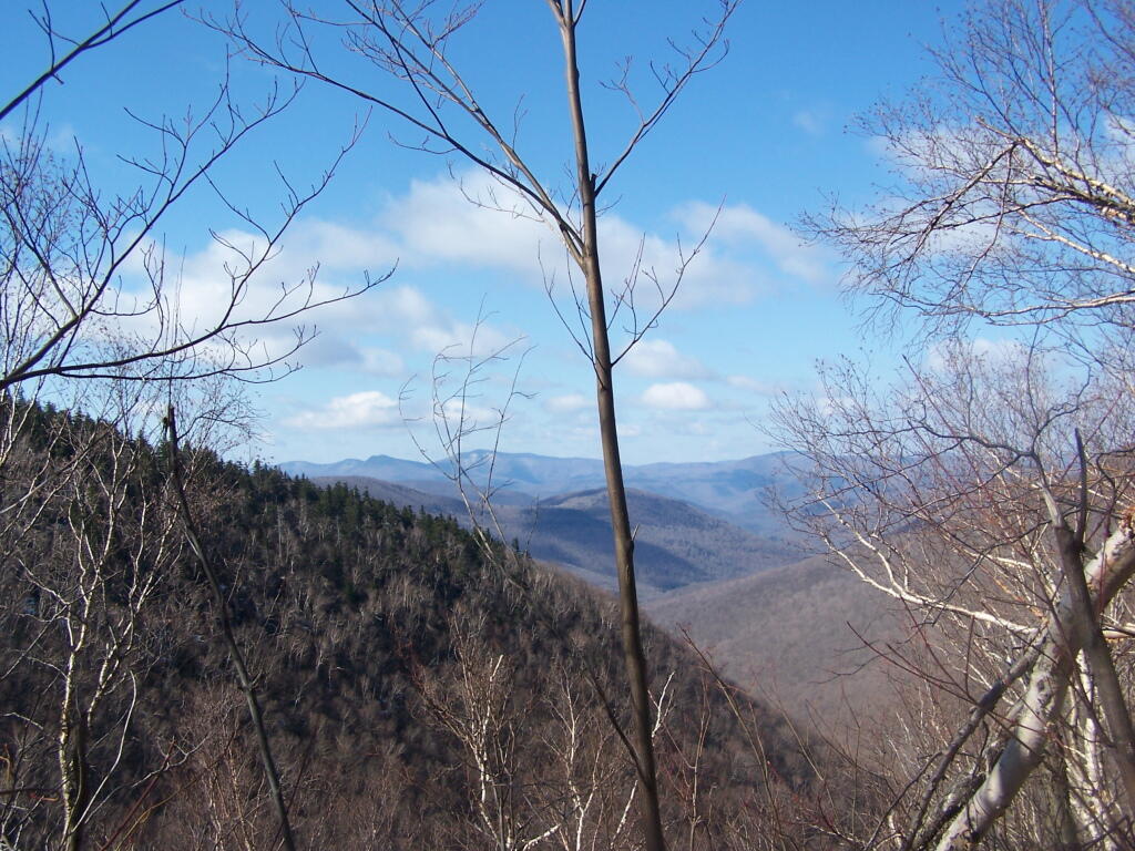
Gaining some elevation as I hike up Plateau Mountain. This is around 3,000 feet. Looking down at Devil's Clove.
Taken on Sunday April 12, 2009 at Plateau Mountain.
