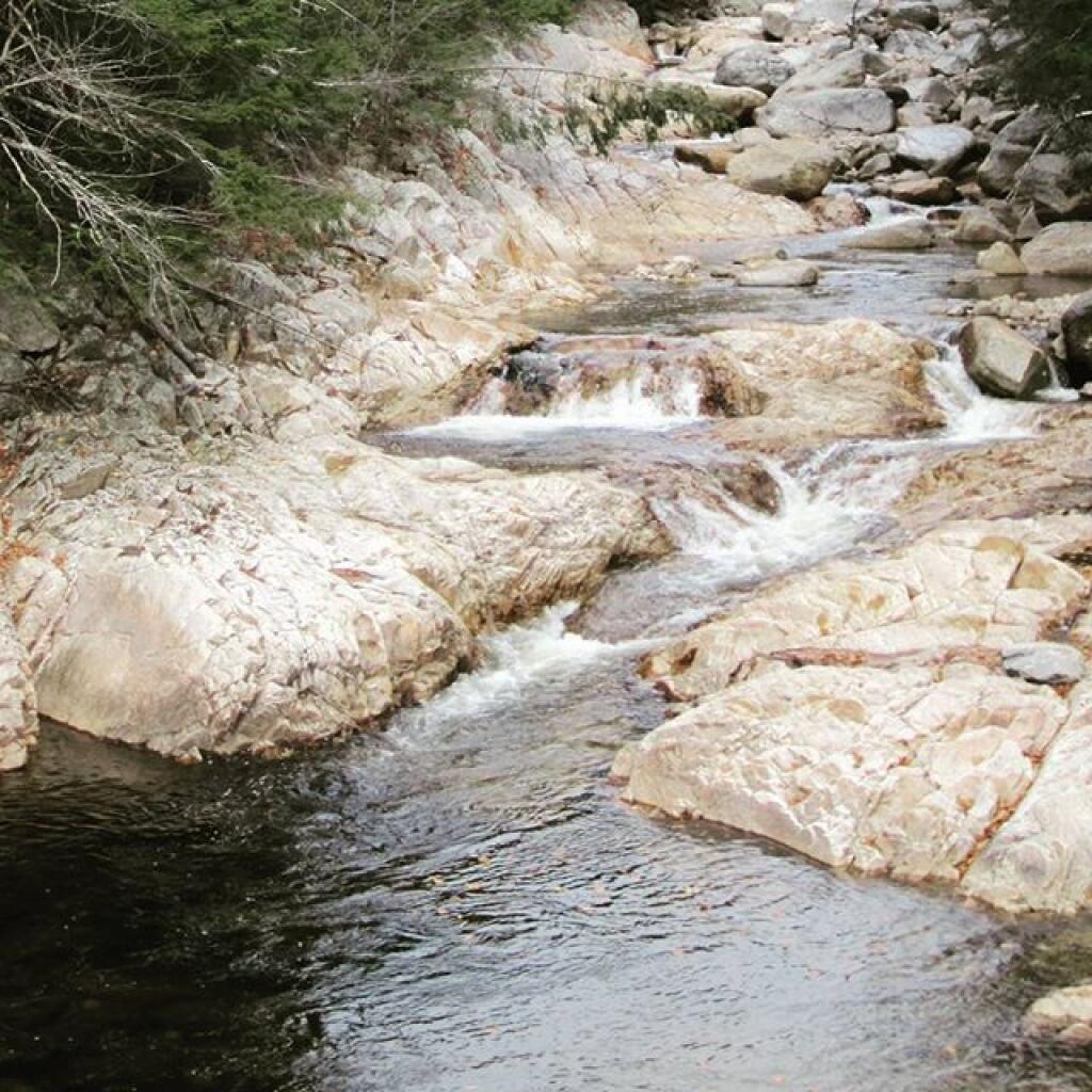
Big Branch

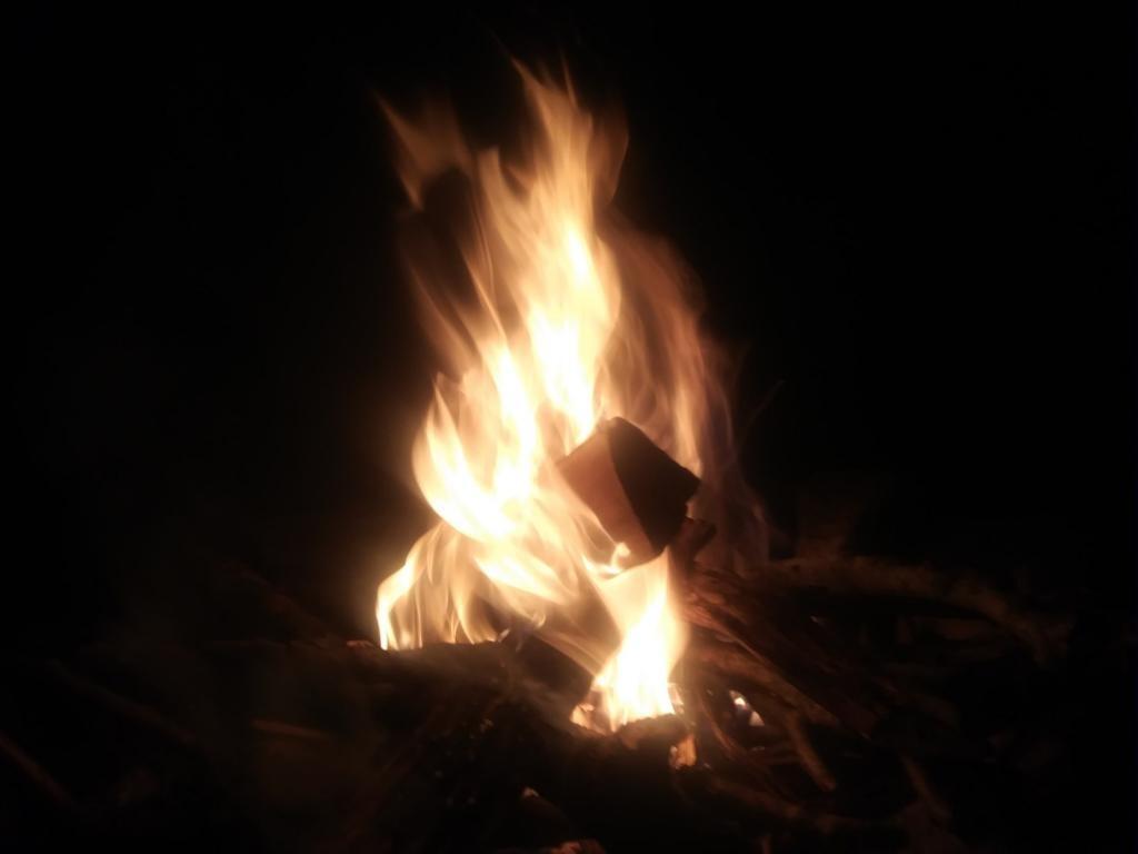
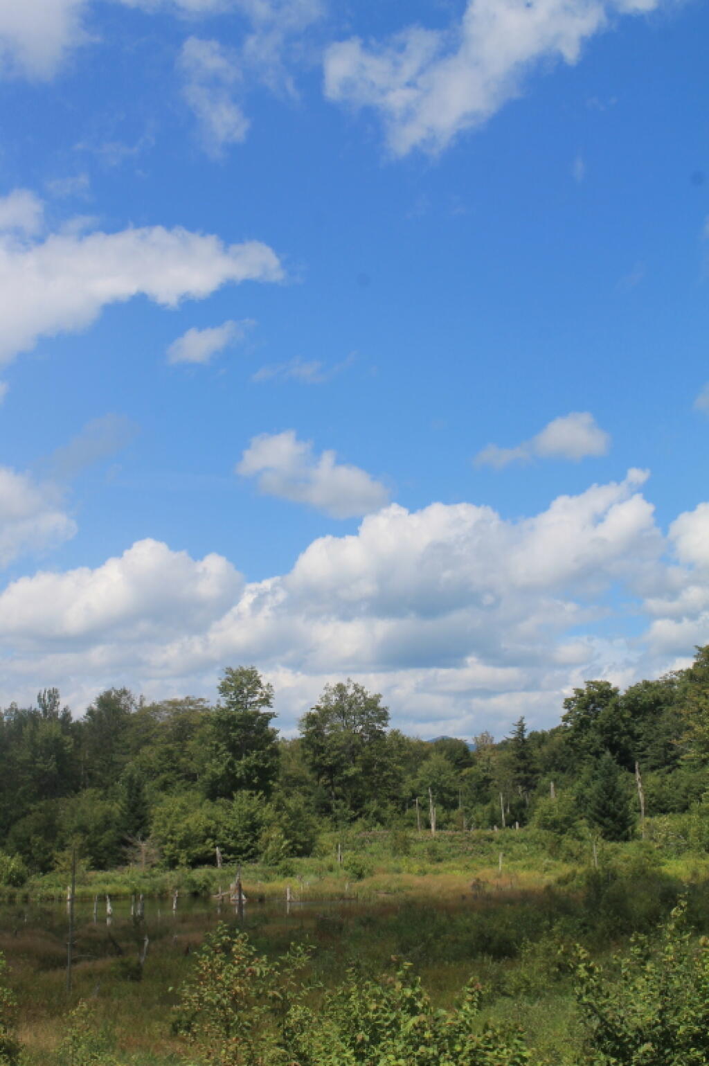
Cool evening but the campfire certainly helped.
Taken on Friday September 4, 2020 at Green Mountain National Forest.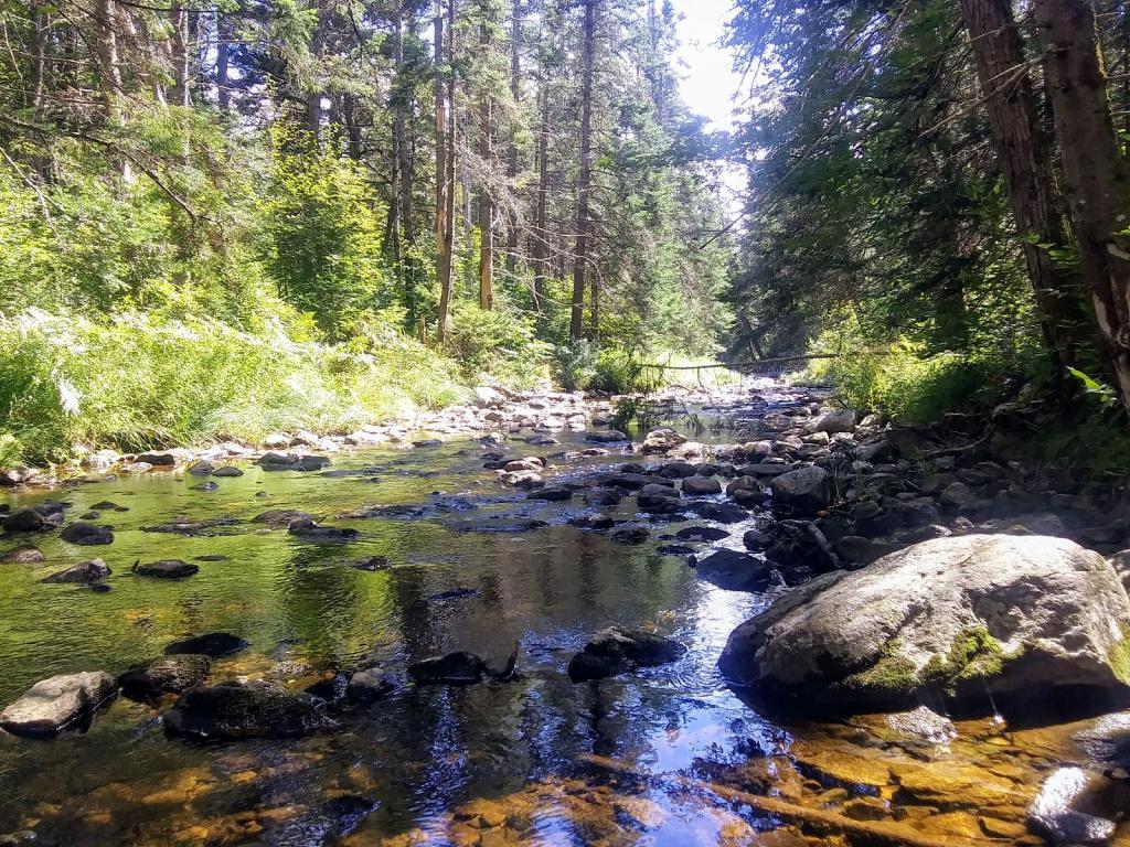
It's really pretty quiet and doesn't have a lot of water but it still was a quiet place in the woods.
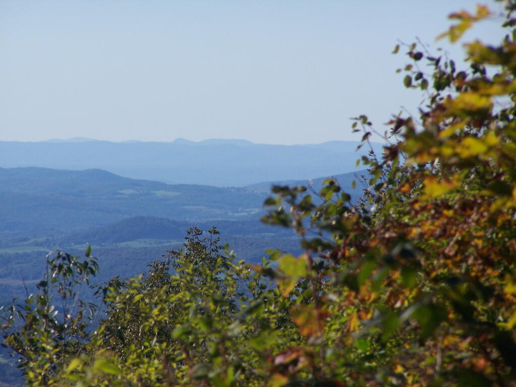
Taken on Saturday September 5, 2020 at Green Mountain National Forest.