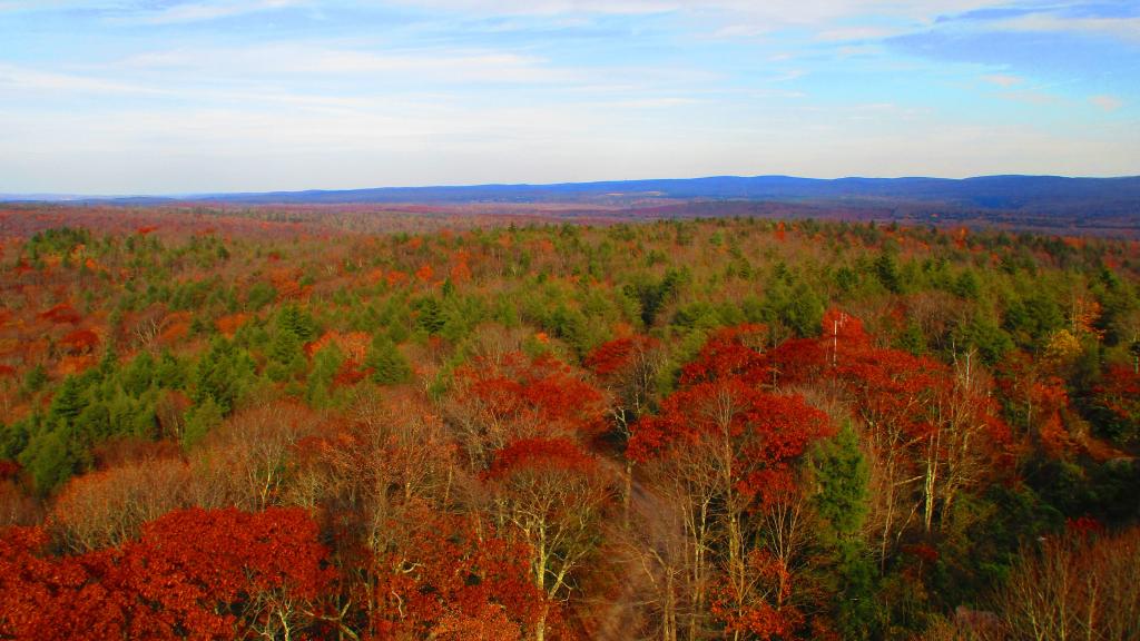
You might think the this area looks remarkably flat, but looks can be deceiving from the Olson Firetower which is on Backbone Mountain at 3,650 feet.
The range in the distance is the Allegheny Front (the Eastern Continental Divide), indeed it tops out at above 4,200 feet elevation with Petersburgh on the east side beyond it only about 1,000-1,500 feet elevation. The west side of Allegheny Front isn't as big of a drop, but the Canaan Valley is still only 3,200-3,500 feet elevation.
In the middle you can see the smoke stacks of the Mount Storm Coal Power Plant, the largest in the northeastern West Virginia which is a major electricity source for the Greater Washington DC area.
Taken on Thursday October 26, 2023 at Monongahela National Forest.
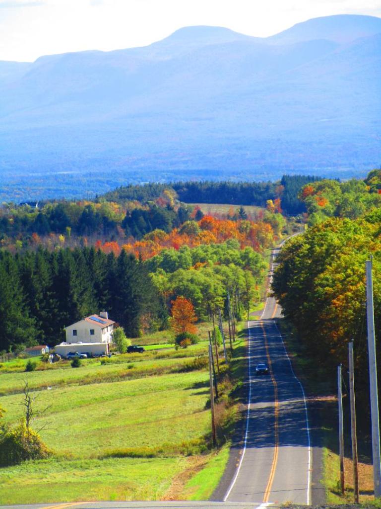
North from the Olson Firetower, with US 219 snaking around the side of Backbone Mountain. Limestone Mountain in the mid-range, and in background is Laurel Mountain.
Taken on Thursday October 26, 2023 at Olson Firetower.
Just driving along Corridor H, aka US 48 passing by some coal strip mines outside of Bismark.
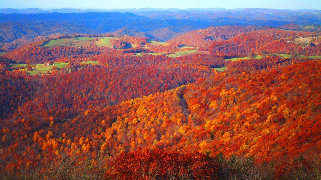
Much farther south then Albany and with such a mild autumn, it was still not far past peak in the Sweedlin Valley, looking towards Fisher Peak from Shanandoah Mountain.
Taken on Monday November 8, 2021 at Shanandoah Mountain.
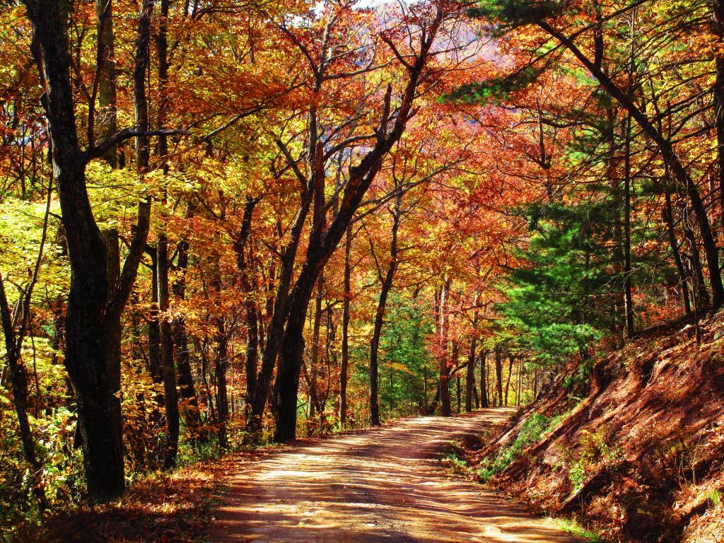
I ended up visiting five states over eight days, including the Commonwealth of Virginia. Apparently they don't spend a lot of money on fancy signage welcoming people to Virginia on dirt roads over Shenandoah Mountain like Camp Run Road I took over the mountain on Monday.
Taken on Monday November 8, 2021 at Shanandoah Mountain.


