Orange County, NY
City of Newburgh – Full Market Value of Properties
There are some good deals for properties in the City of Newburgh, if that's where you want to live.
Newburgh – Beacon 1947
A series of topographic maps shows the twin cities before the superhighways and the Newburgh-Beacon bridge.
Orange County – National Land Cover Dataset
Orange County is one of the farthest north counties in the Metropolitan Region, serviced by the MTA Trains. They pay a special tax for that privilege. Orange County has many large forested areas, along with sprawling cities and towns, pasture land and the rich farm black dirt farm county.
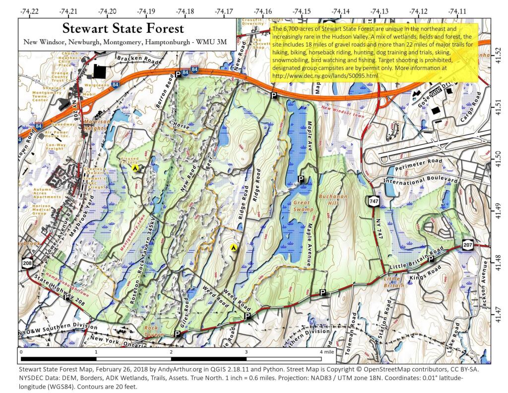
Stewart State Forest
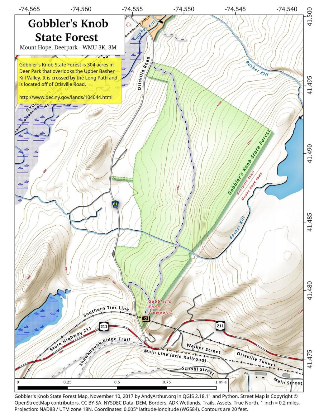
Gobbler’s Knob State Forest
Newburgh (1969 Urban Renewal Proposal vs. Today)
[nychistory id=”19391″]
In the late 1960s and early 1970s, the city's response to the economic decline was an ambitious urban renewal plan. The city's historic waterfront area, an area composed of several square blocks which included numerous historically significant buildings, was completely demolished between 1970 and 1973. Residents were relocated, or were supposed to be relocated, to newer housing projects around Muchattoes Lake in the city's interior.
A grand complex that was planned for the urban renewal area was never built when state and federal spending began to dry up after the 1973 oil crisis. To this day, the blocks which slope down to the river remain open, grassy slopes, offering sweeping views of the Hudson but generating no property taxes for the city. Public sentiment is mixed on whether they should be built on again at all, and the city's view-protection ordinances make it less likely. Below, the waterfront was developed in the late 1990s after the city was once again able to secure grants from the state's Environmental Protection fund for riprap (a type of stone) to stabilize the shoreline.

