Wilcox Lake Wild Forest
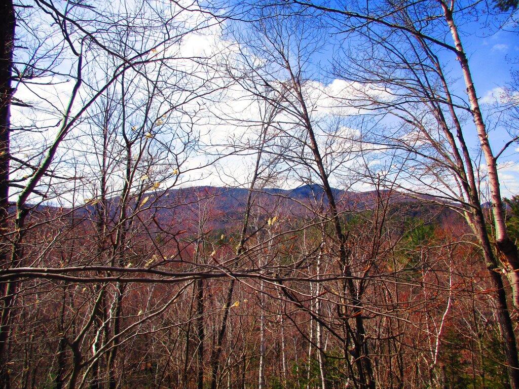
View From The Ledge Above Eagle Pond Swamp
After hiking back to Eagle Pond -- which actually I was confused on in the map and only got the swamp below Eagle Pond, I bushwhacked onto the ridge above the swamp and looked at the mountains to the north of the pond.
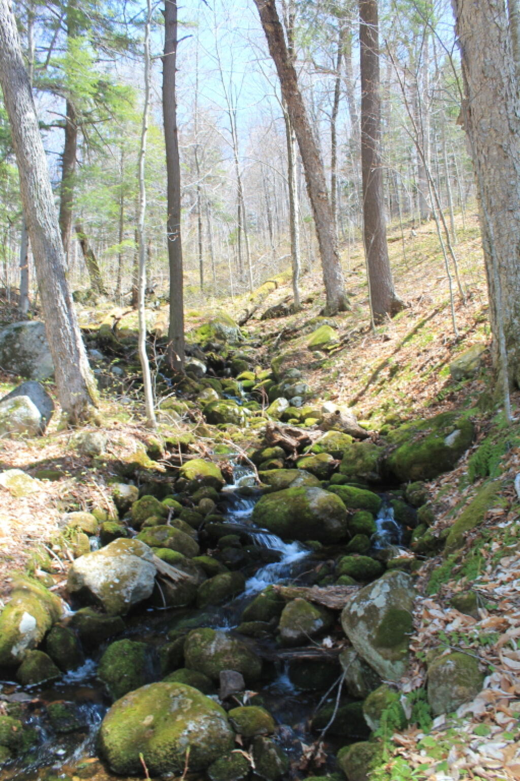
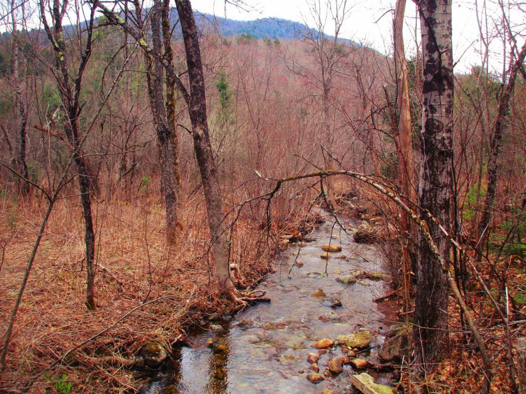
Taken on Saturday May 2, 2020 at East Branch Sacandaga River.Kibby Brook Off Old Route 8 (Now Driveway to Campsite 3)
Camping at the East Branch Sacandaga River April 30, 2022
Annual trip up to the Adirondacks to kick off the summer season, doing some hiking and exploring the wilderness around the East Branch / NY 8.
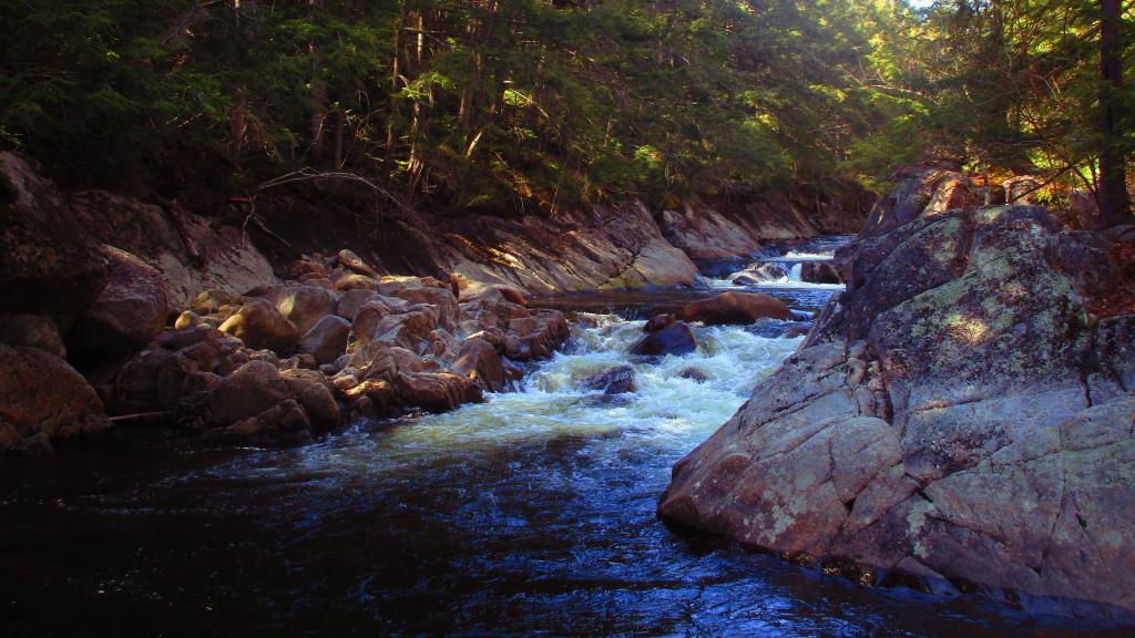
Along the East Branch Gorge Trail
Water levels were quite low.
Taken on Saturday April 30, 2022 at East Branch Sacandaga River.Fox Lair – LIDAR Surface Image
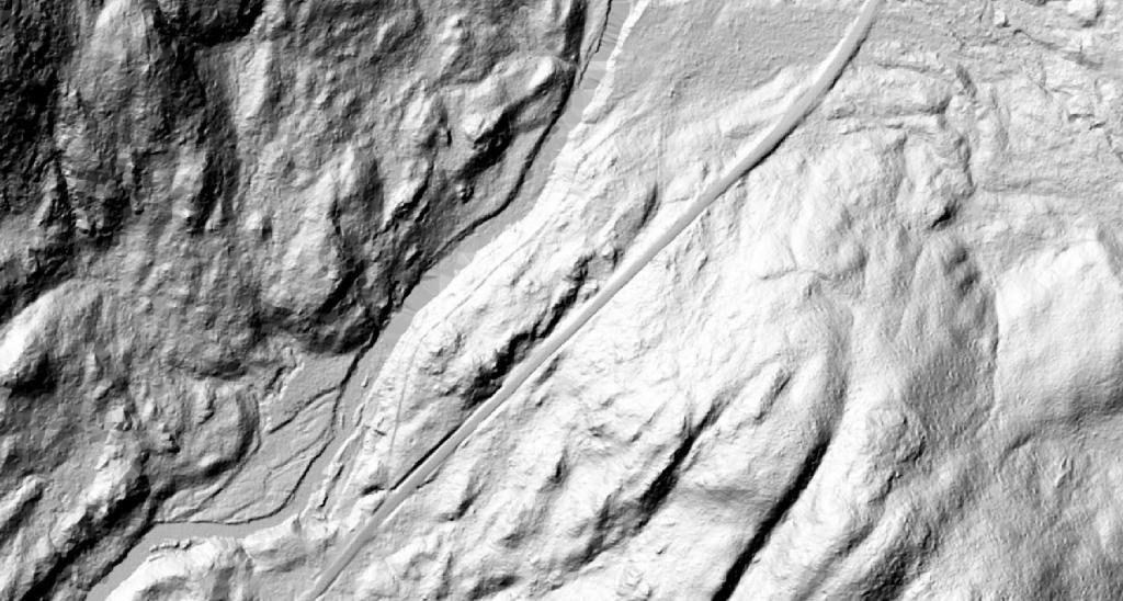
Foxlair was the sweeping wilderness estate owned by the legendary cosmetics magnate Richard Hudnut that is now forest preserve. I've explored the ruins many times, and was curious to see how much of the old stairways and ruins from the LIDAR digital terrain models, but unfortunately the resolution isn't quite high enough to get a clear outline of the old estate. But you can definitely still see the outline of the old road and how bigger the modern NY 8 is today.
See also:
Taken on Monday May 2, 2022 at East Branch Sacandaga River.
LIDAR Fox Lair 🗺
Been exploring the old ruins of the Fox Lair Camp and the old tannery on the East Branch Sacandaga River. I was thinking if I could download a LIDAR point cloud or even just a digital terrain model I could have a better overview of the stairways and other remaining debris of the areas hidden normally by the tree cover.
