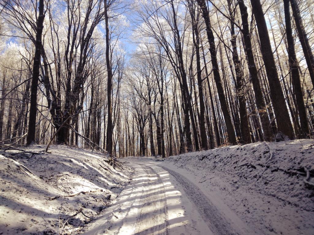
The hoar frost on the trees filters the light of the blue skies as I walked along Janis Road on Martin Luther King Day, hiking up to Tassell Hill. While the road is drivable with only a few icy patches, there is something nice about a quiet walk in the woods, observing nature without necessarily motoring.
Taken on Monday January 16, 2023 at Alfred J Woodford State Forest.
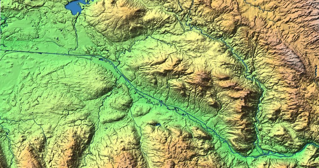
This hillshade terrian map shows the terrian around Utica and Rome, as far east as Ilion and North towards Delta Reservoir.
A series of topographic maps that shows Utica circa 1955 before the modern arterial system was built through the city, but after the Thruway was constructed.
Contributor Names Francis, J. H., Mrs. Created / Published Boston? : Mrs. J.H. Francis, Publisher, 1874. https://mapwarper.net/maps/54526
The intersection of Erie Boulevard at Black River Boulevard in Rome, NY is unique with it's underpass for traffic turning from Erie Boulevard East to Black River Boulevard North. Built over the Black River Canal, they had a natural depression that they could build the underpass under, which helps turning cars navigate the intersection without delay. Only in two directions is there a stop ligth, in all other directions, traffic flows without interruption. To the north is Fort Stanwix.


