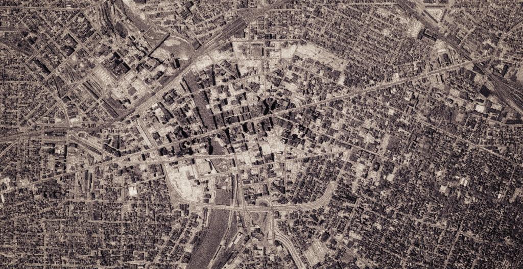
About 15 years ago, I worked in Rochester and I can remember the Rochester Moat -- the Inner Loop. It was removed in the mid-2010s, at least the western portion of it to allow Downtown Rochester to be better connected with the up and coming College neighborhood.
LEFT - Downtown Rochester, circa 1995 (false color)
RIGHT - Downtown Rochester, circa 2019 (true color)
In the past 5 years there has been an active effort to replace part of the Rochester Inner Loop with urban infill. You can explore these years above: 1995, 2002, 2005, 2009, 2015, and 2020.
By 1960, significant progress had been made on the Rochester Interloop, also known as the moat encircling Downtown Rochester. Much of the interloop had been completed or was under construction, a configuration that remains largely intact to this day.
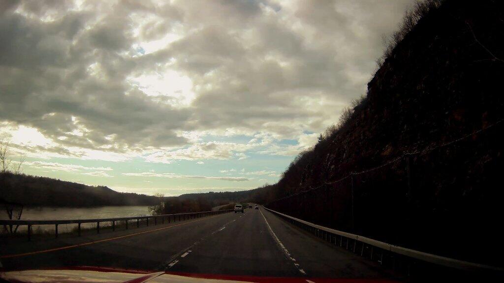
Heading up north, on NY 5 along the Mohawk River after a drizzly afternoon it started to clear.
Taken on Monday May 4, 2020 at Monroe County.
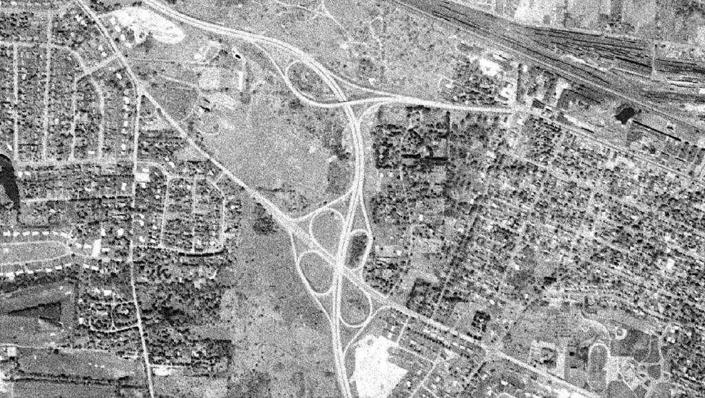
The Fairport Road cloverleaf is one of several that have been removed from the Rochester area highway system to reduce crashes 💥 and make room for additional development, 🏗️ in this case the Monroe County Community College 🎓.
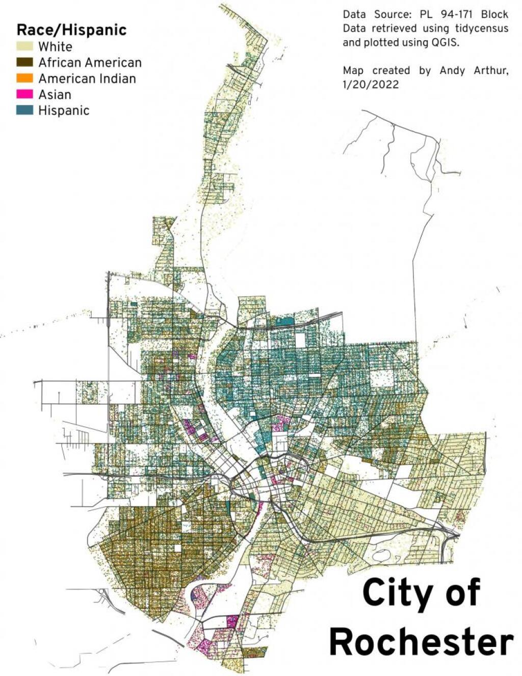
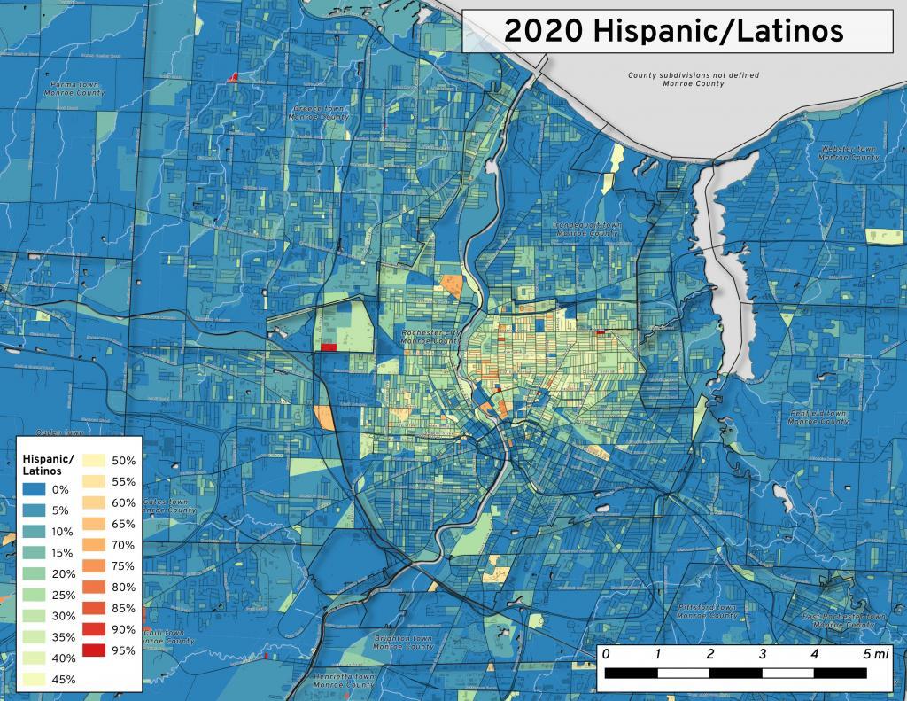
The south-eastern part of Rochester has a fairly Hispanic community.
Data Source: 2020 PL 94-171 Summary File.
