Madison County, NY

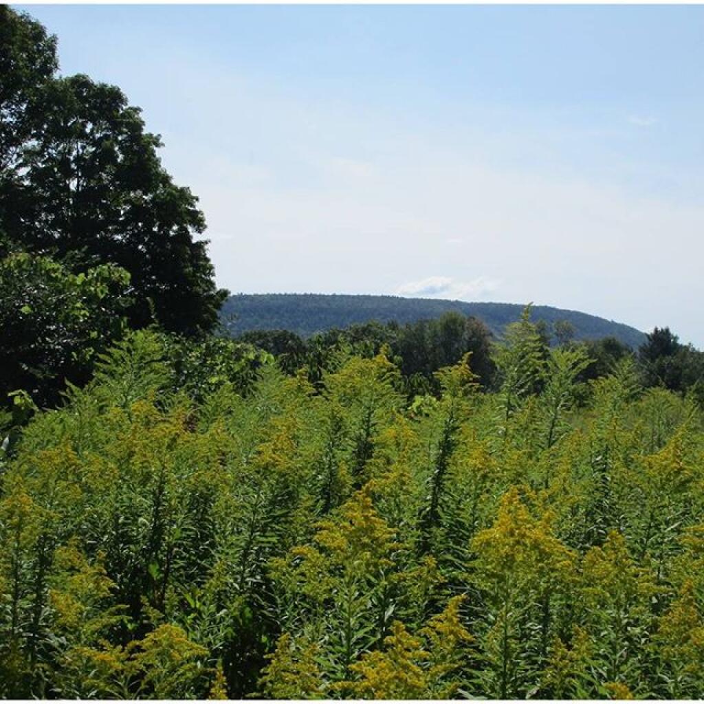
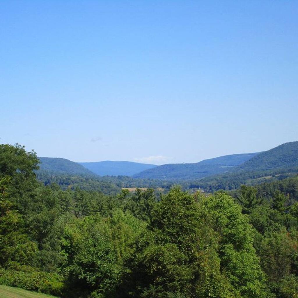
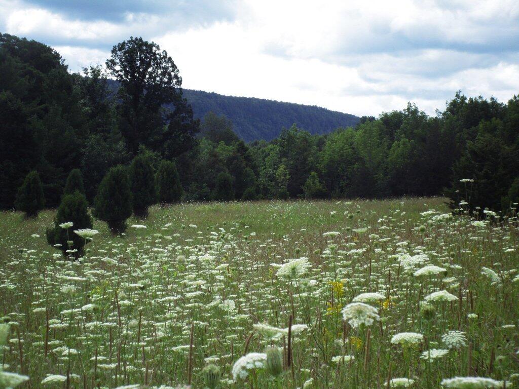
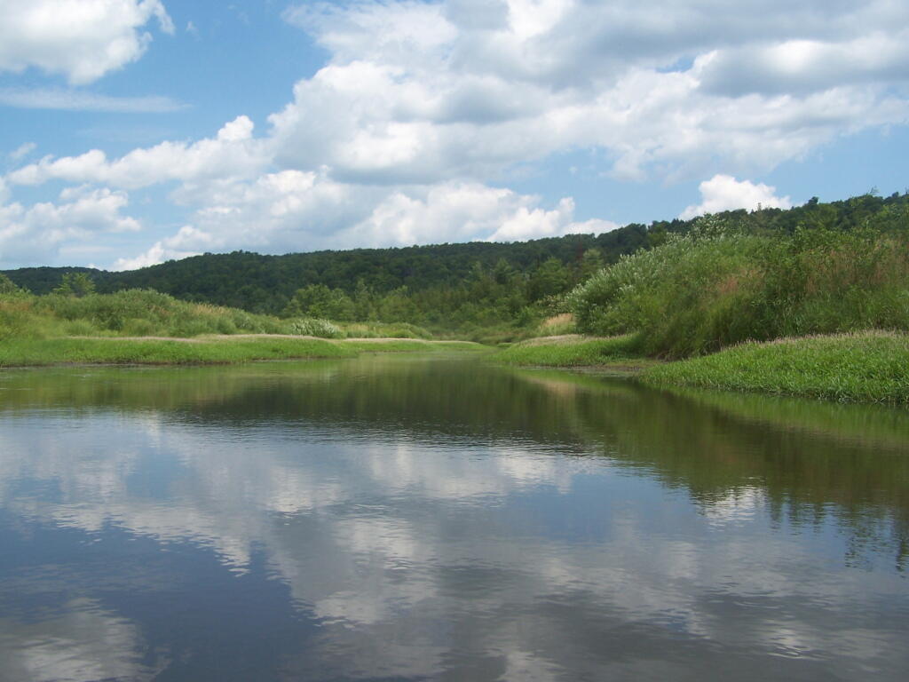
Madison County, situated in central New York State, is home to a population of 73,442 as per the 2010 census. This county is a pivotal part of the Syracuse, NY Metropolitan Statistical Area. Positioned east of Syracuse, slightly north of Binghamton, and west of Albany, Madison County holds the honor of housing the state’s geographic center in Pratts Hollow, within the Town of Eaton. With Oneida Lake and Oneida Creek framing part of its northern border and Chittenango Creek defining the western boundary, Madison County boasts picturesque landscapes.

This page focuses on free camping opportunities on state land within Madison County, extending an invitation for outdoor enthusiasts to explore the region’s diverse offerings, including hiking, biking, kayaking, and various outdoor pursuits.

The Link Trail

The initial purpose behind establishing the Link Trail was to provide a connection between the Finger Lakes Trail (FLT) and the Old Erie Canal Trail. Situated to the east of Syracuse, NY, the Link Trail traverses Madison County in a north-south direction. Presently, the trail spans 40.3 miles; however, certain segments are still in the process of being developed. It's worth noting that this distance incorporates some stretches along roads, excluding a 2.1-mile segment that leads to a dead end.

Map data © OpenStreetMap under ODbL

Truck Trail 12

Driving along Truck Trail 12 in the Charles Baker State Forest in Brookfield.