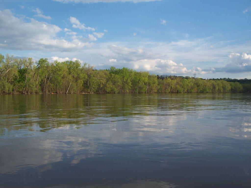
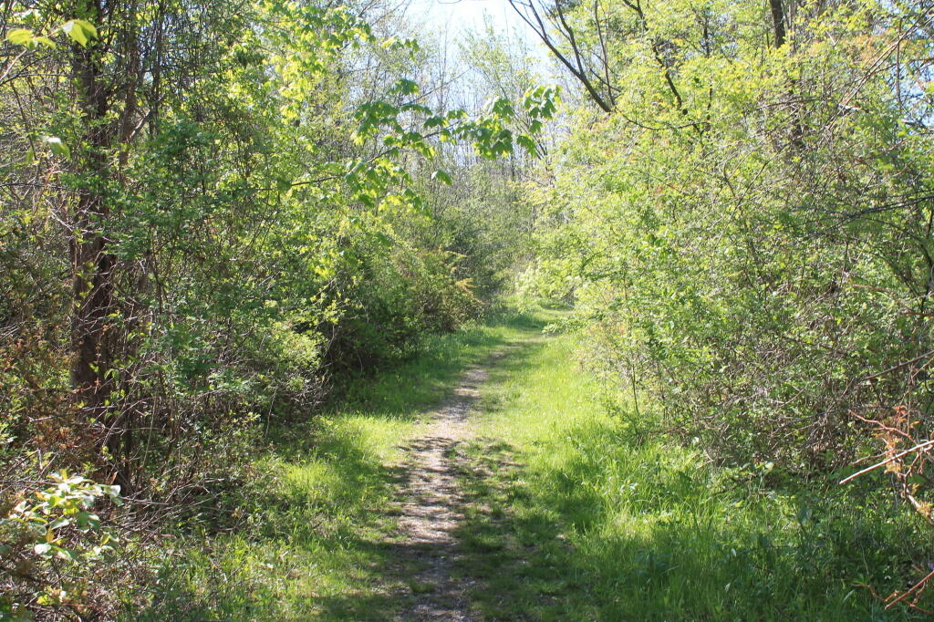
This is taken, literally, only three miles North of Albany, in the middle of the Albany-Troy-Schenectady urban belt. It's remarkable this land was never developed, although historical pollution and steepness of valley here, may have been a large reason for this unbroken buffer of land.
Taken on Saturday May 7, 2011 at Kayak the Hudson.
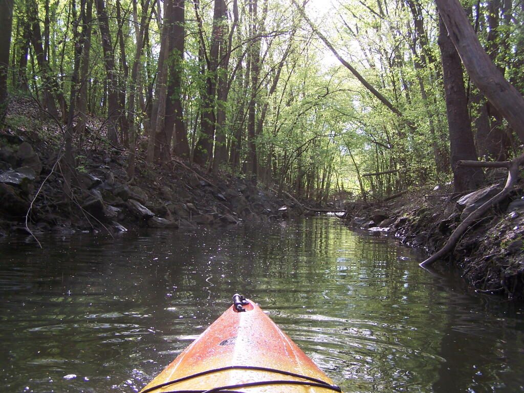
Most of this Creek Channel is buried, tunneled, or otherwise removed where I-787 comes through and covers much of the former Breaker Island along the Hudson River. Still it was pretty, as the rain stopped.
Taken on Saturday May 7, 2011 at Kayak the Hudson.
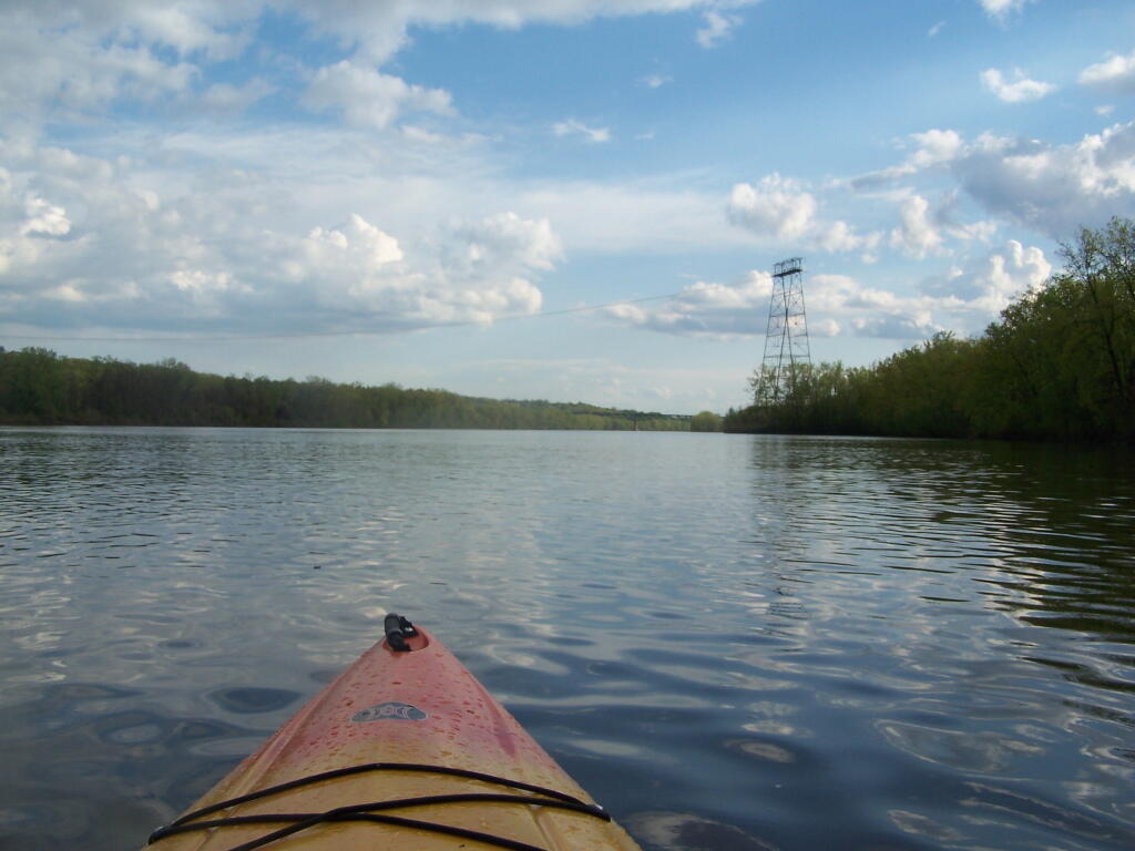
This section of the river is very scenic, with very few signs of how extremely urban the surrounding area really is. With the trees buffering I-787 from the road here, the only real non-natural noise was other boats on the river and a kid on a ATV, on the other side of the river, towards the North Rensselaer Sewage Treatment Plant.
Taken on Saturday May 7, 2011 at Kayak the Hudson.
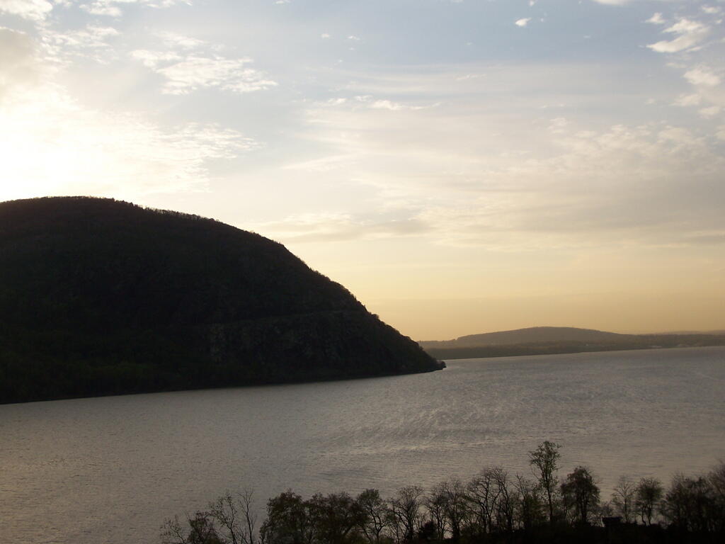
The sun is now below Storm King.
Taken on Tuesday April 22, 2008 at Little Stony Point.
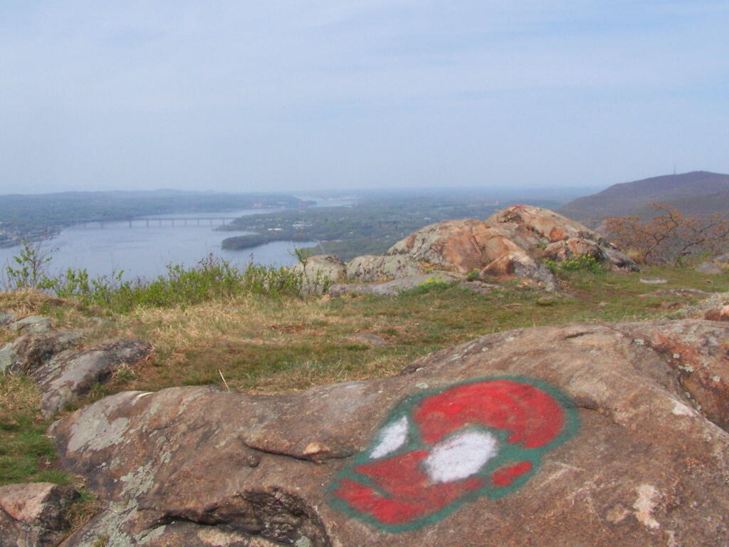
I like this graffiti painted on the rock. it's cute.
Taken on Tuesday April 22, 2008 at Storm King Mountain.
