Hamilton County
The section of Cedar River – Limekiln Lake Road along the Silver River didn’t used to exist
There was no connection between Cellar Mountain Road and Moose River Road along the Silver River until the Conservation Department built the connection in the late 1950s before acquiring the lands due to the parcels being owned by different companies.
Northampton Campground Beach
On the Great Sacanadaga Lake. A winter photo, at normal water elevation.
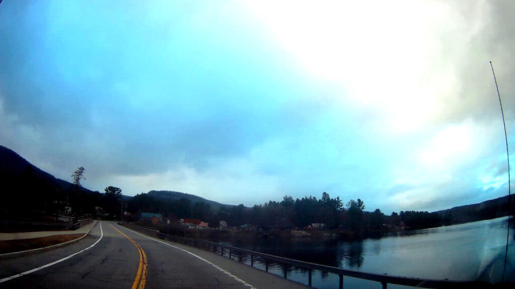
Rainy Morning in Wells
Heading through Wells on Friday morning, as the ran was pounding down.
Sly Pond
The remote Sly Pond is one of the highest bodies of water in Adirondack Park at an elevation of 2,872 feet. It was once infamous for being a marker of how acidic Adirondack lakes had become by the eighties, with the DEC recording in 1980 the pond having an acidity of 3.54 which is about as "acidic as a dill pickle".
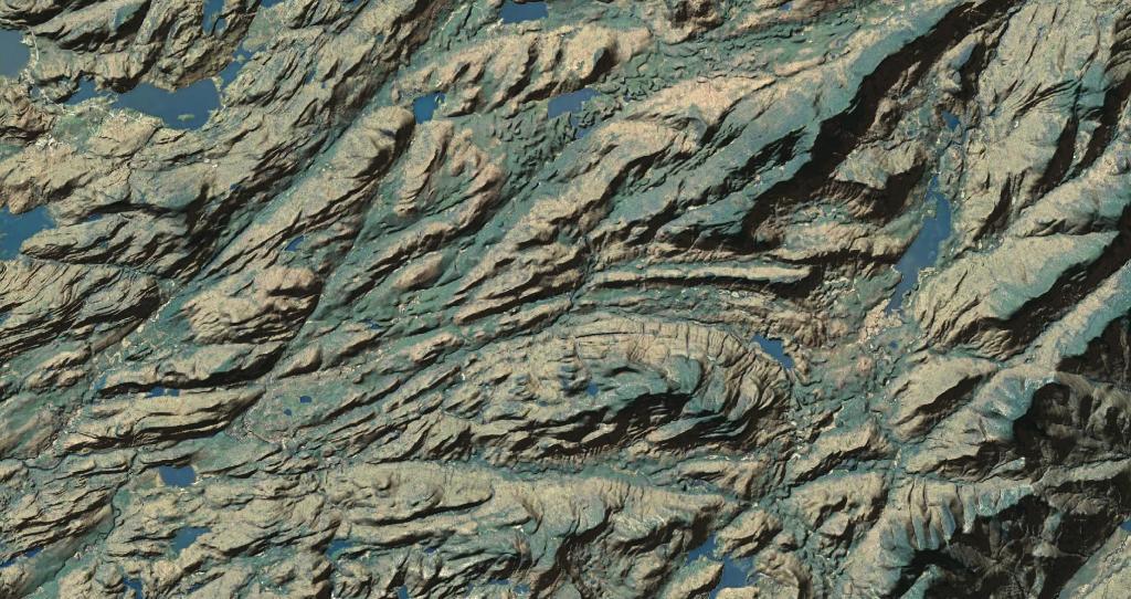
Lake Algonquin
Viewable from the Pillsbury Mountain Firetower
Revised map based on some analysis of I've been doing of photos I've taken over the years from the fire tower. Getting the view shed correct is a bit challenging using bare-earth digital elevation models, which do not fully consider the impact of trees blocking part of the viewable landscape.