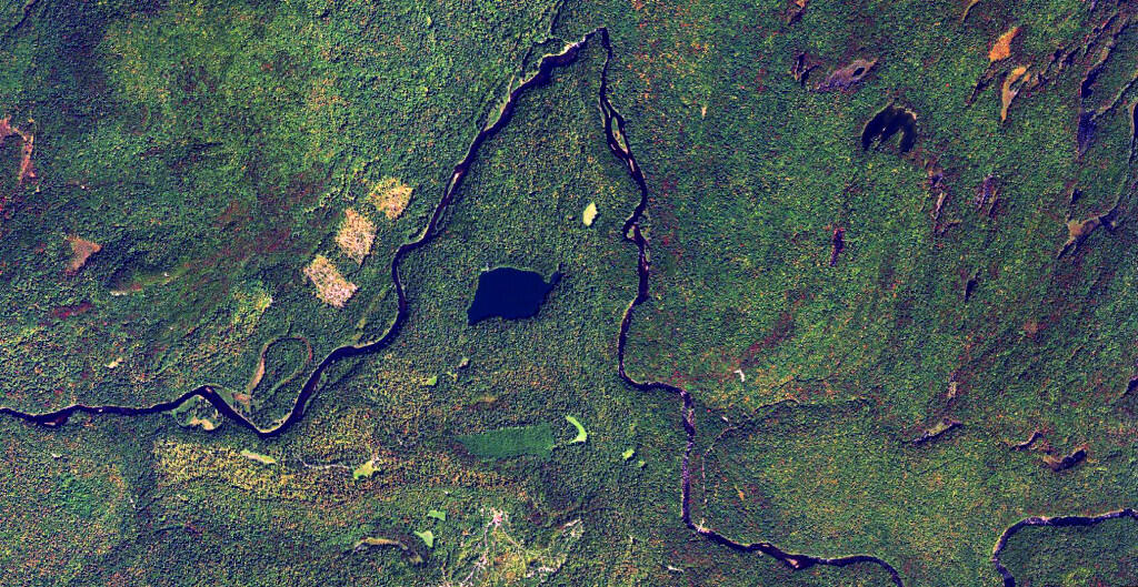
Near the lands of Panther Mountain Club, and Panther Mountain, the Middle Branch of the Moose River dips north around Green Lake before decending Limekiln Falls. While no public access exists for these lands, the river is sometimes kayaked by by white-water kayakers.
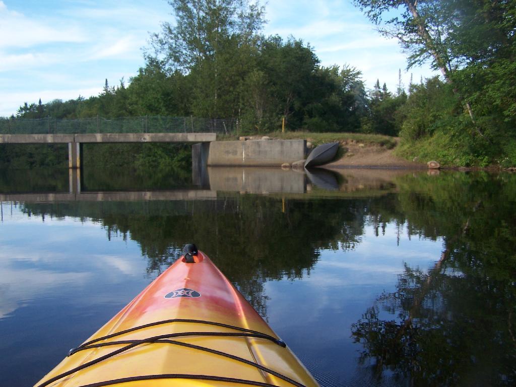
I'm camping at the site right next to Wakely Dam, namely site No 8.
Taken on Wednesday August 11, 2010 at Moose River Plains.
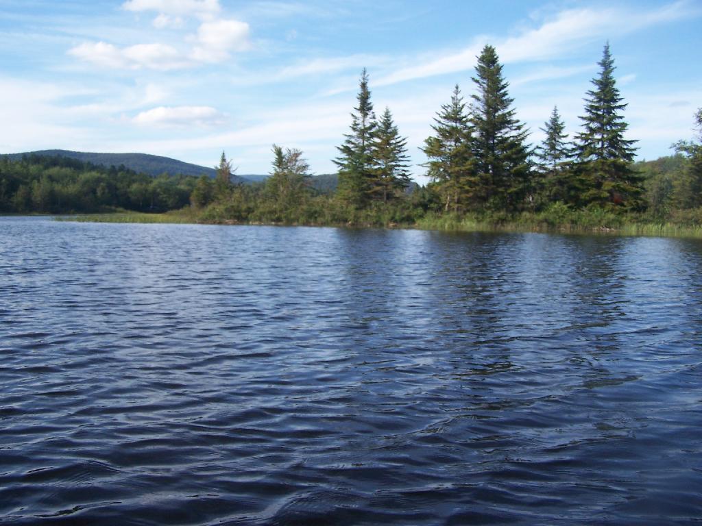
This portion of the Cedar River Flow, demostrates how very much this area was once open plains, until the DEC flooded the area shortly after obtaining the land from Gould Paper Company in 1967.
Taken on Wednesday August 11, 2010 at Moose River Plains.
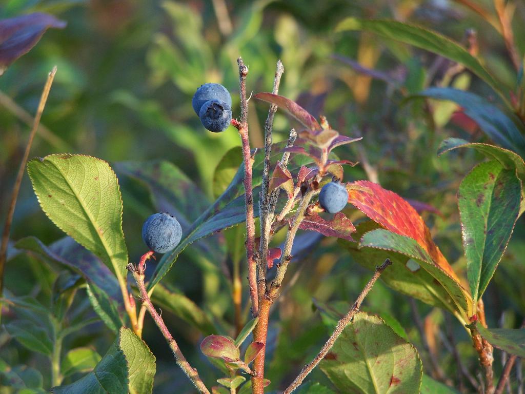
All I can say is delicious. And so numerous, as you look around all you see is blueberries.
Taken on Wednesday August 11, 2010 at Moose River Plains.
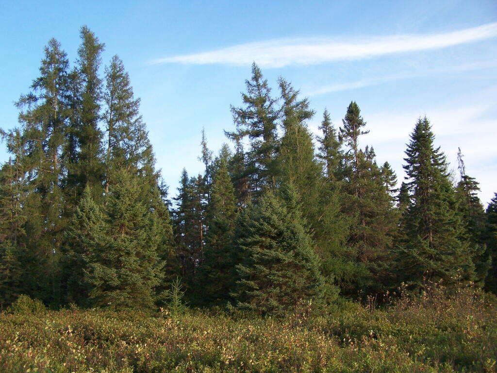
There are trees in the Plains, but they are not all over, but instead follow certain hilly and disturbed areas, where nutrient rich soil has built up.
Taken on Wednesday August 11, 2010 at Moose River Plains.
Driving from the Big T down Helldiver Pond Road to Helldiver Pond.
