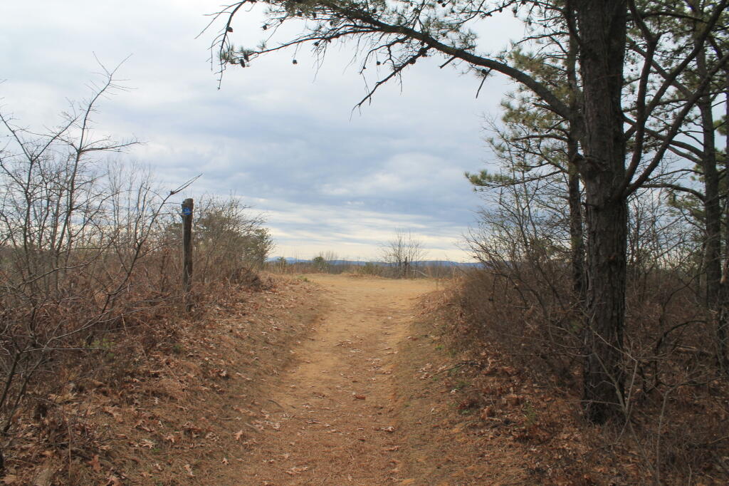
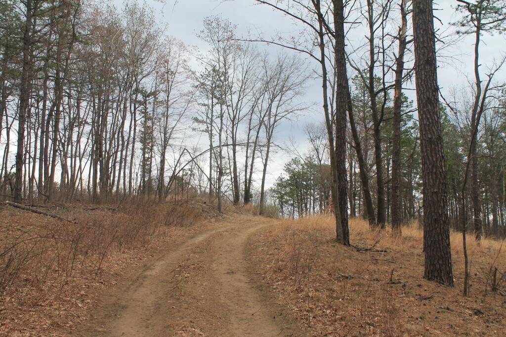
Albany Pine Bush Blueberry Hill Barrens
I made this interactive 3D map of Albany Pine Bush using LiDAR digital surface model, Open Street Map and NYSERDA Buildings of the Albany Pine Bush Blueberry Hill Barrens.
This was created with Qgis2threejs. For building heights I used OpenStreetMap, either the building height in meters or the floors times 4.3 meters. For buildings without a height, I used 8 meters. The landfill and sand dunes are from Digital Terrian Model DEMs from NYGIS.


