Independence River

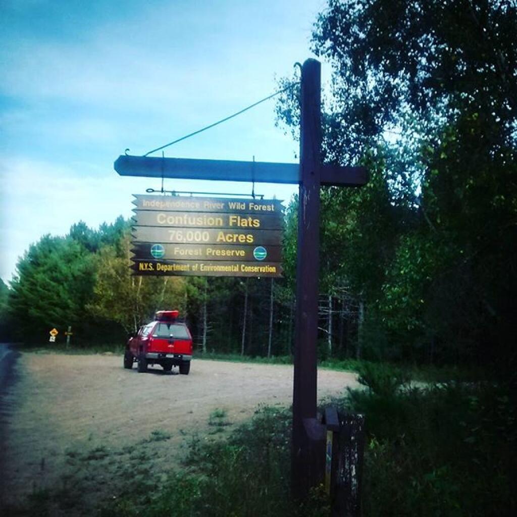
The Independence River Wild Forest is described as the Western Adirondack Preserve acreage lying adjacent to the western boundary of the Adirondack Park including the western portions of the Otter Creek and Independence River watersheds, extending from Lewis County into Herkimer County northeast along the south side of the Beaver River and Stillwater Reservoir and south of Beaver River.

Included are lands in Watsons East Triangle, Brantingham Tract, Macomb’s Purchase and John Brown Tract, encompassing both Lewis and Herkimer Counties. USGS 15Β½ minute quadrangle maps that cover this unit are: Big Moose, Lowville, Mc Keever, Number Four and Port Leyden.

Bounded by:

North: Number 4 Road; Stillwater Reservoir;
West: Exterior Forest Preserve Boundaries in the Towns of Greig, Lyonsdale and Watson; and Adirondack Park boundary;
South: Ha-De-Ron-Dah Wilderness;
East: railroad tract from big Moose to Beaver River Station, Former International Paper Company lands.

http://www.dec.ny.gov/lands/58192.html

Smith Road Campsite 1

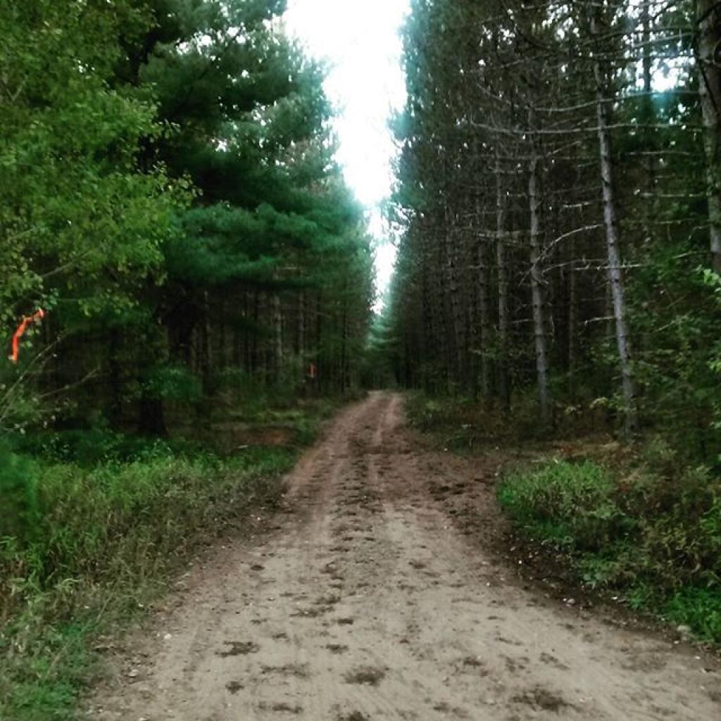
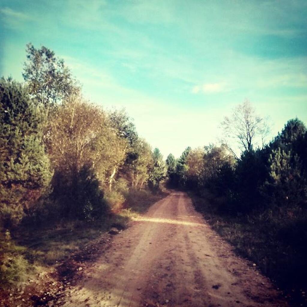
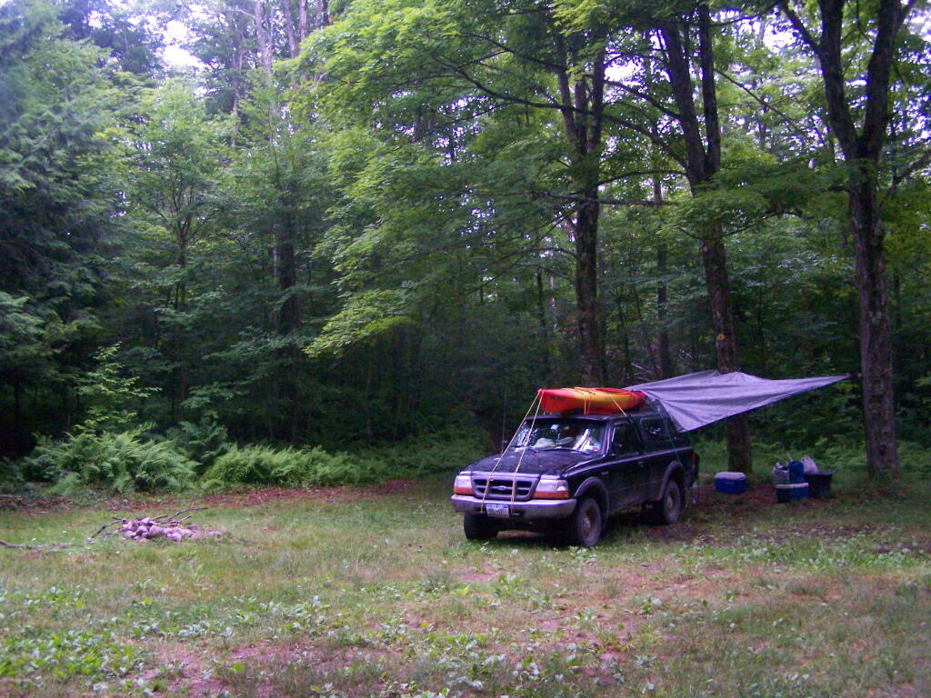
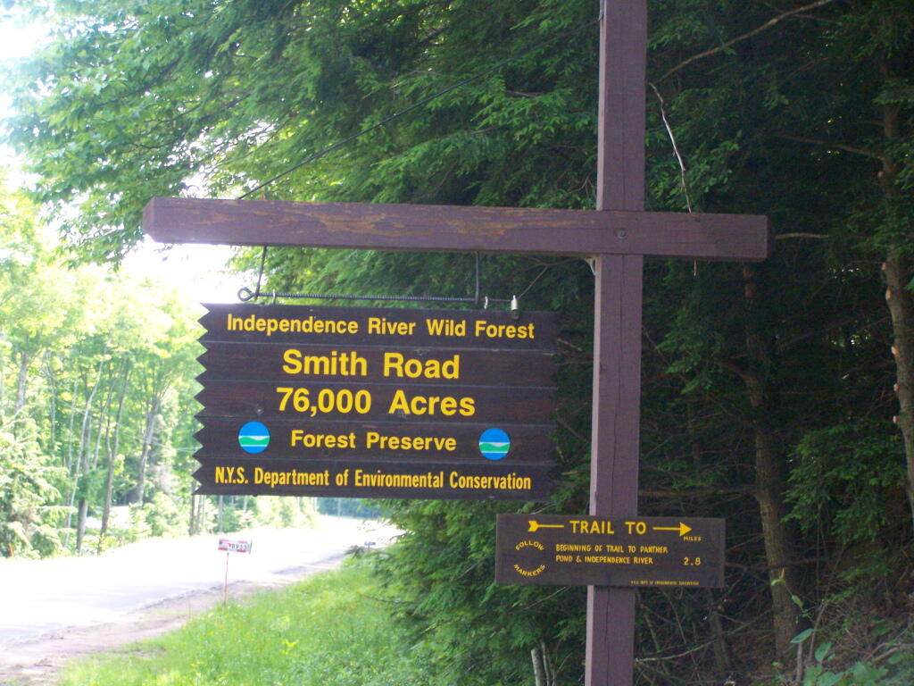
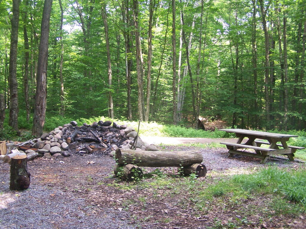
There are three major dead-end roads in the Independence River Wild Forest, which each have 10 campsites on them. This review focuses Smith Road Campsite 1, which is the nearest campsite to the end of Smith Road, near where it intersects Number 4 Road. This campsite is located where the old ranger’s cabin was located, and there is a trail in the woods, to the location of the long-removed Number 4 Firetower.

Rankings: Campsites are ranked from 0 to 10, based on the described attributes.

Overall 8 Lack of Enforcement Presence 6
Scenic Beauty 5 Facilities 7
Cleanliness 9 On-Site Attractions 2
Privacy 8 Nearby Attractions 5
Layout 10 Cellphone and Data Services 8

Rainy Morning

Location:
  • Roughly 1/8th mile south of Number Four Road at Smith Road, Number Four, NY
  • Roughly 18 miles east of Lowville
  • N 43.85489 W 75.19837
Cost:
  • No charge
  • 3-nights maximum stay at this site except by FREE camping permit for up to 2-weeks which can be obtained from Forest Ranger John Scanlon at 315-376-3225, Cell: 315-542-4773 (more info).
Facilities:
  • 6 hardened gravel campsites.
  • Stone fire ring.
  • Open, grassy field.
  • No outhouses.
  • Good cellphone, modest 3G data service.
Vehicles:
  • Small trailer
  • Large trailer
  • Tent
Attractions on Site:
  • Former site of Number Four Firetower. The fire tower has been moved to the Lowville Demostration site.
Attractions Nearby:
  • Francis Lake (5 miles east on Stillwater Road)
  • Stillwater Lake (12 miles east on Stillwater Road)
  • Otter Creek Trail System – Equestrian, Off-Roading, Open Lands, Mountain Bike (20 mi south-east)
  • Lowville village (18 miles north west)
  • Lowville Demonstration Site (22 miles north west)
  • Tug Hill State Forest/The Gulf (45 miles north west)
Sanitation:
  • Water from Otter Creek – Boil before drinking or cooking
  • No outhouses – Dig hole in woods, burn toilet paper
  • Burn combustible garbage, take cans home for recycling
  • Make sure firepits and campsite are clean before leaving
Restrictions on Use:
  • 3-nights maximum stay at this site.
  • Except by FREE camping permit for up to 2-weeks which can be obtained from Forest Ranger John Scanlon at 315-376-3225, Cell: 315-542-4773 (more info).
  • Seasonal use road, the last 1/8 mile from Number Four Road.

Watkins Glen - Montour Falls 1898