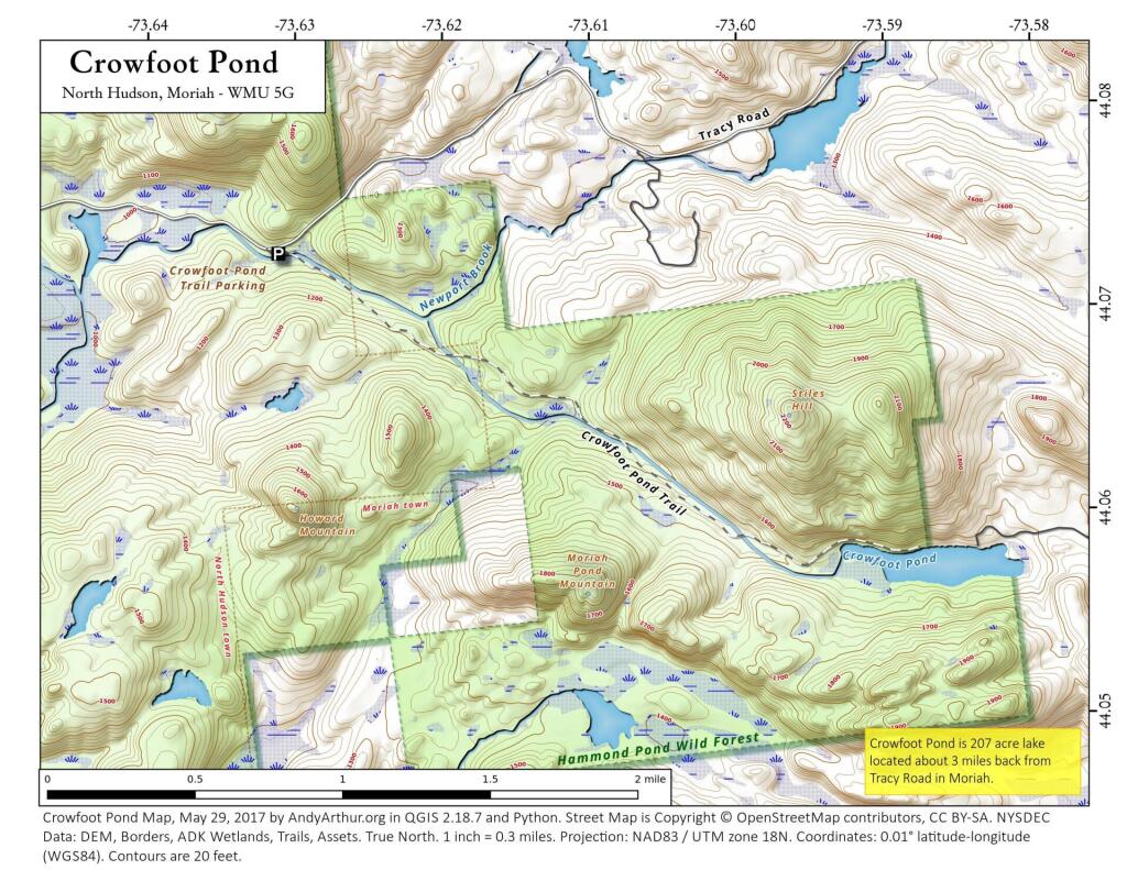
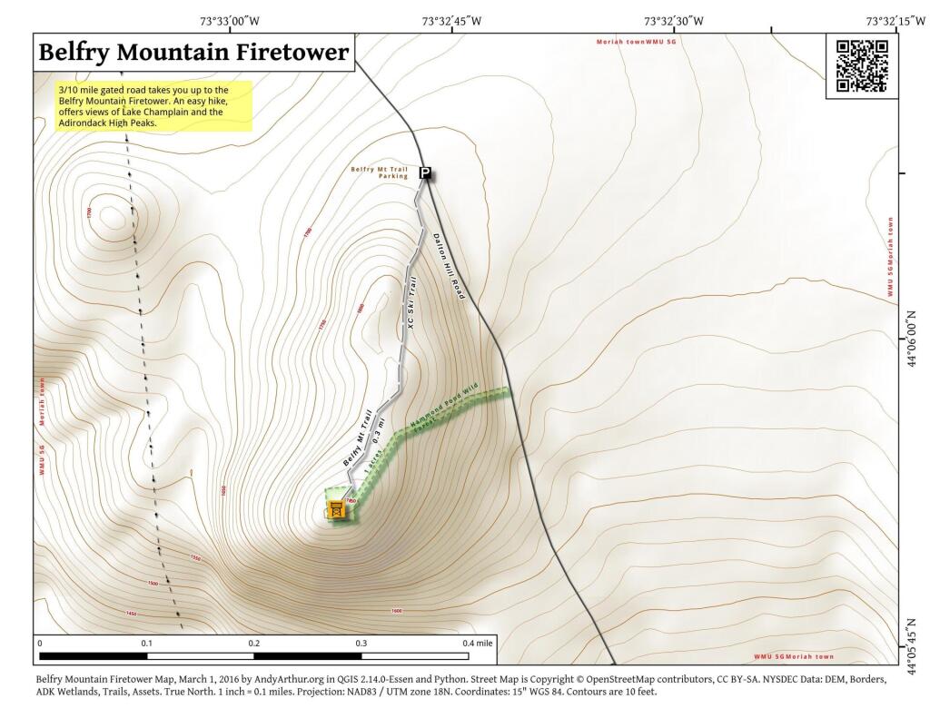
Hammond Pond
Four Mile Meadow
Ever since college I've been fascinated by the section of the Adirondack Northway that goes through a valley known as the Four Mile Meadow by Lincoln Pond, as seen on the 1953 Elizabethtown topographic map. While little signs of the Meadow exist anymore, I wonder if it was a natural meadow or due to logging. This section of the Northway really cut through the wilderness when it was built.
Four Mile Meadow, 1952 Before the Adirondack Northway
I have a bit of an obsession over Four Mile Meadow for many years now since my college days, which they ran the Adirondack Northway through. So I georeferenced an aerial photo from 1952 of the Four Mile Meadow on the MapWarper.
Baxter Mountain
Discover this 2.9-mile round trip trail near Keene Valley, New York of NY 9N, offering a moderately challenging hike. With its popularity, expect to encounter fellow hikers along the way. The trail is generally smooth with gentle slopes, but the upper section gets steeper, featuring rocks and some easier scrambling. Keep an eye out for blue trail markers, especially where side trails diverge. Near the summit, the blue trail transitions to yellow. This trail traverses through an easement on private property. It's crucial to stick to the designated path and heed any posted instructions to respect the landowner's rights.


