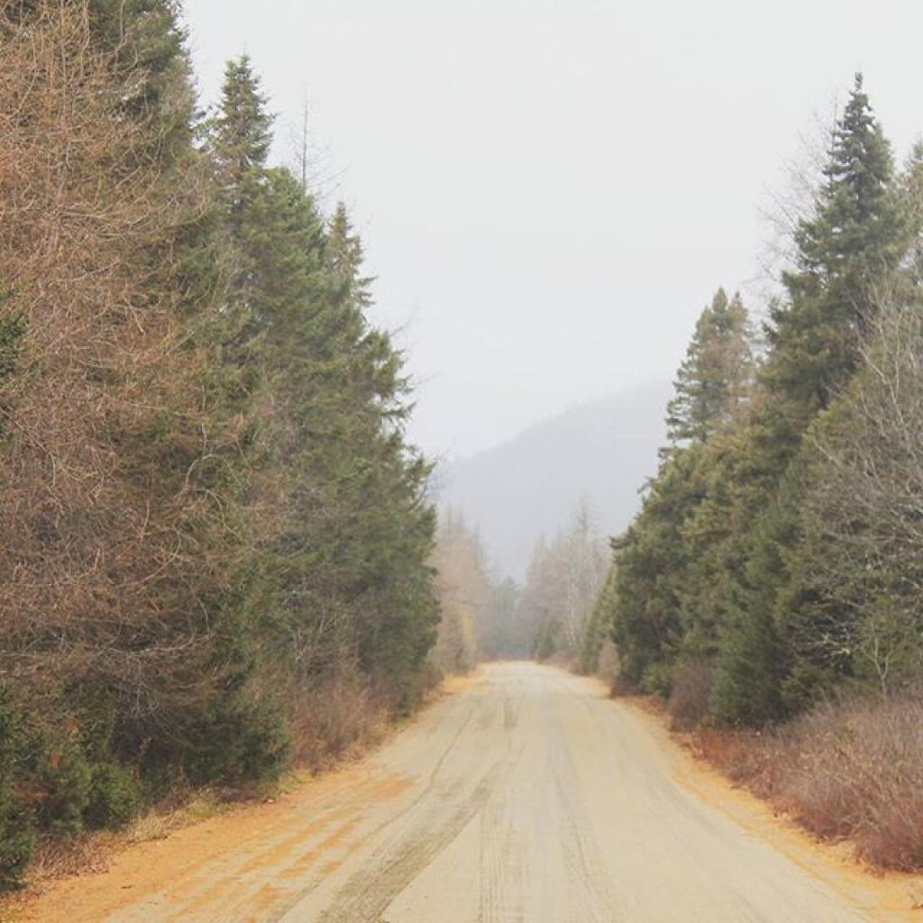
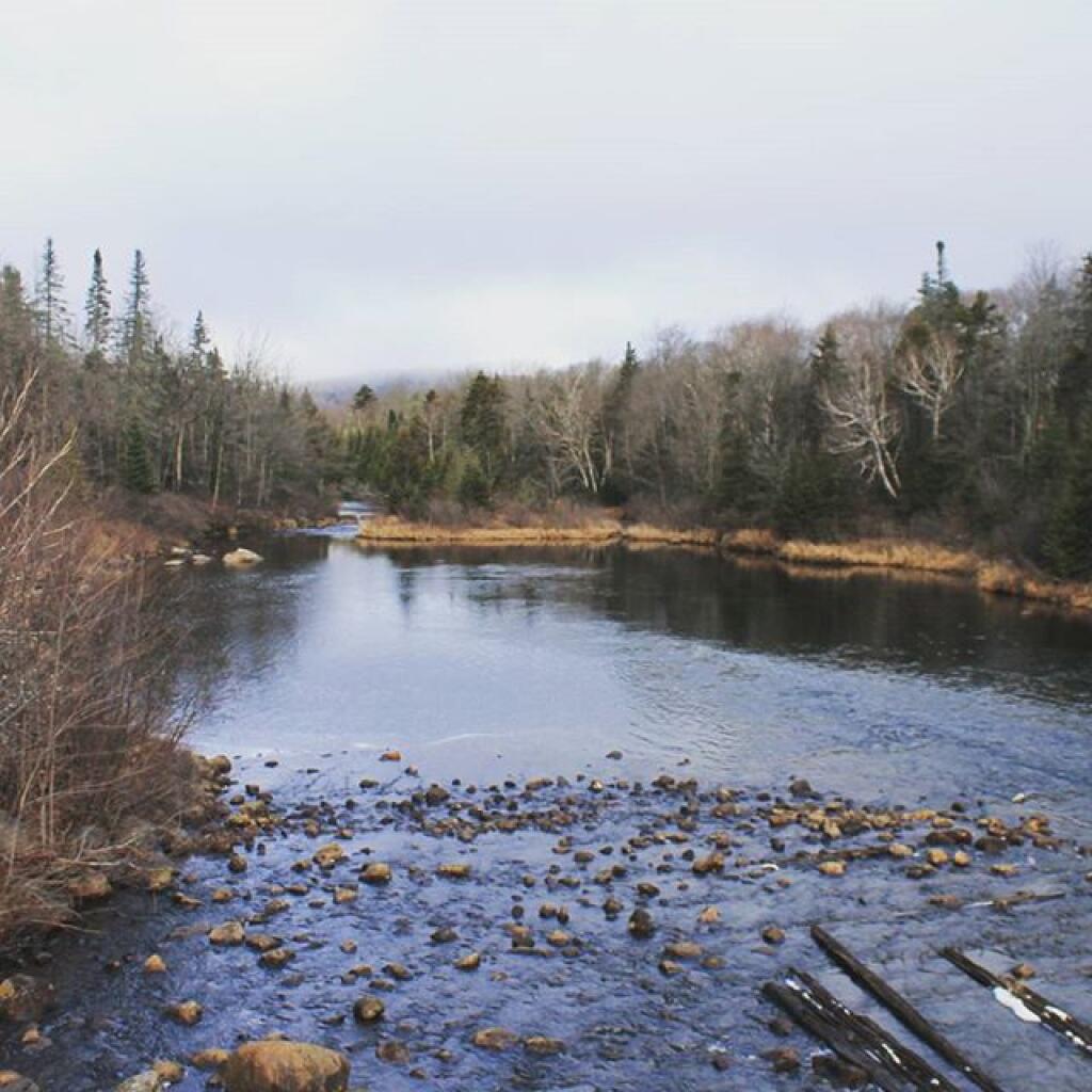
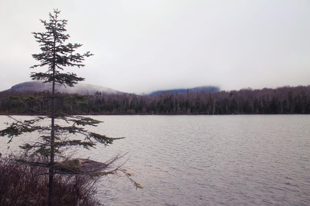
Moose River Plains
Mitchell’s Pond
Cedar River Flow
Moose Plains. a 1903 USGS Topographic Map shown in 3D
I've been working on some neat 3D maps an animations using QGIS 3D mode, including this historical map of the area around the Moose River at Moose River Plains.
Near the Big T
Cedar River Off Wakely Dam
Fog Hangs Low Over Wakley Pond
Kind of a dreary day but I wanted to see what Moose River Plains looked like during the winter, that is before the roads were closed due to snow and ice.
Taken on Saturday November 28, 2015 at Wakely Pond.

