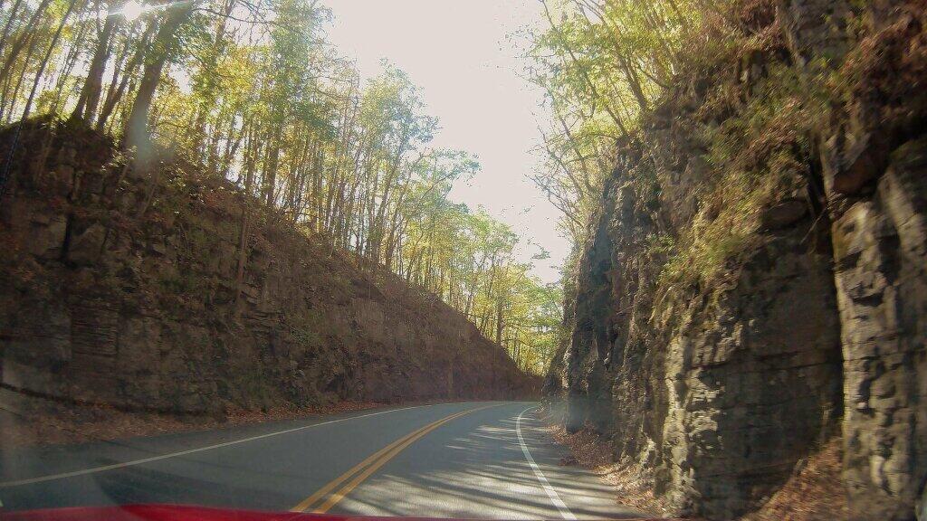
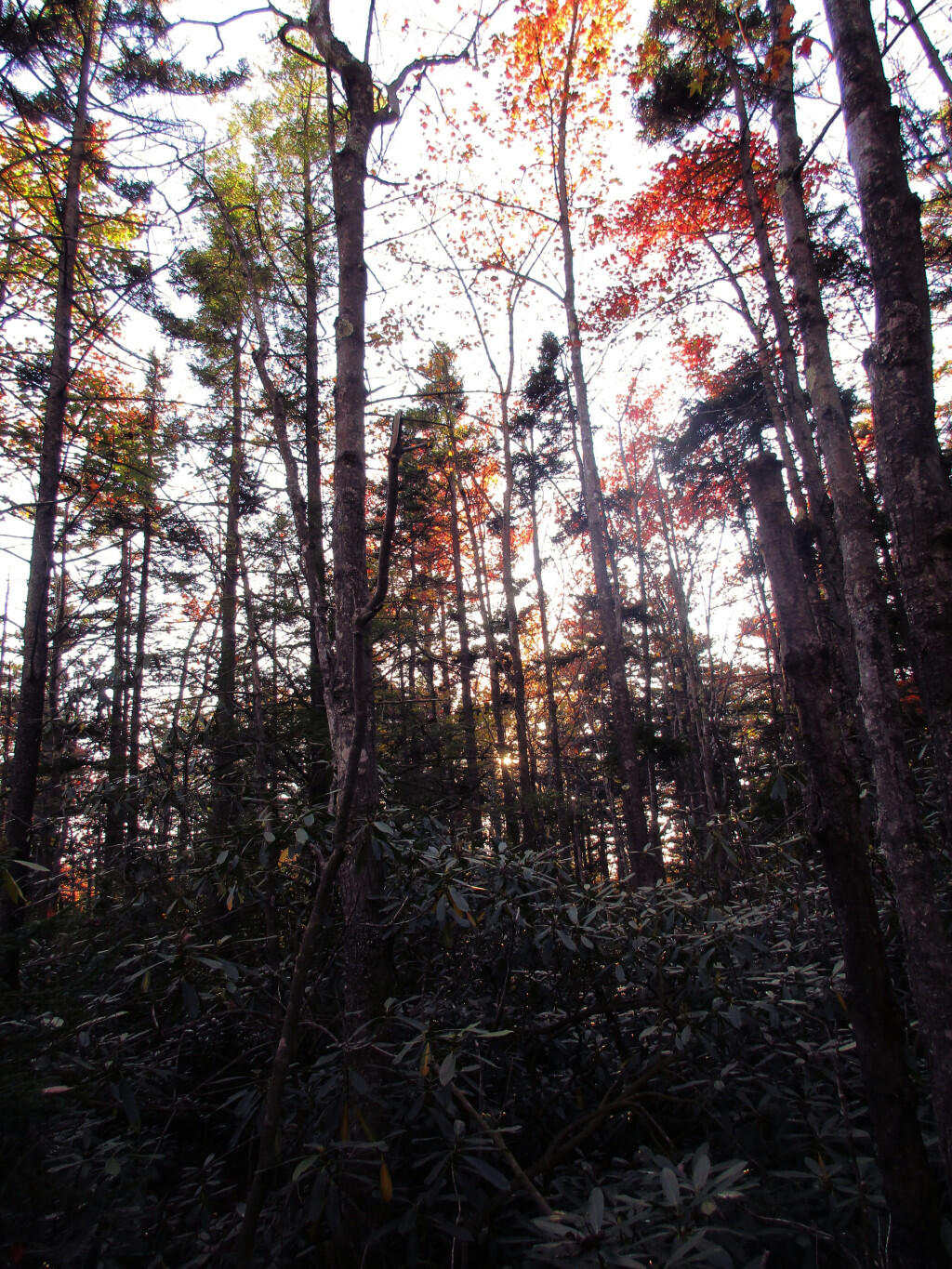
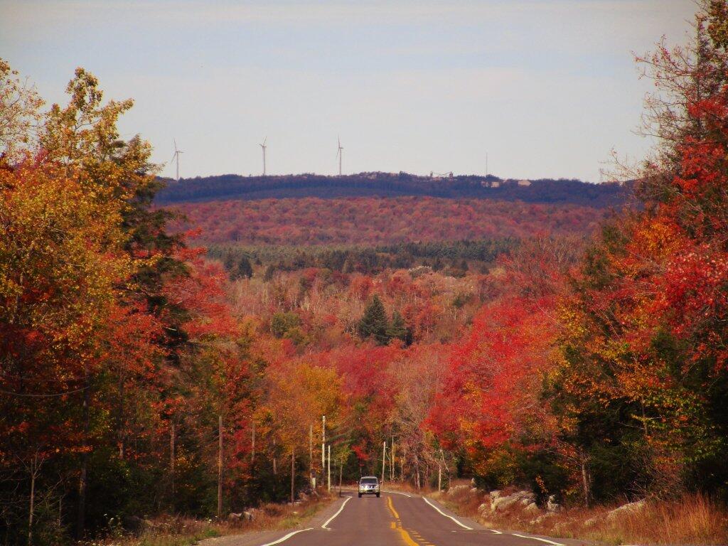
Good evening! Nice evening camping up at Canaan Heights. 🌲🌲🌲
I’ve been enjoying being in the National Quiet Zone, although it’s nice to be not so cut off from the world. Really mild afternoon, I’ve been laying in my hammock since setting up camp earlier this afternoon.
Partly clear and 56 degrees at the Monongahela National Forest. There is a west breeze at 9 mph. 🍃. Temperatures will drop below freezing at Saturday around 4 am. ☃️
I hiked the trail to the summit of Seneca Rocks and also drove up Spruce Knob, ⛰ both in the High Country of West Virginia today. I thought about going to Dolly Sods and camping up there, but with the strong, frigid on Spruce Knob, I decided that would be too cold. Plus I was tired of all that mountain driving, with all the hairpin turns and steep descends, carefully driven in first or second gear, to keep from burning up the brakes too much. 🗻
My good digital camera’s battery is dead 🔋 and the charger isn’t working right. That’s kind of a bummer because it means I won’t be able to take as good, sharp photos with my cellphone camera. 📸 But I have done enough photography over the years, that I can make it work, although I’m not sure how good it will be with the large format pictures on my blog.
I am a bit concerned about an occasional squeak of what I think is a wheel bearing on the truck. ⚫ I might head back north to Cumberland to get that checked tomorrow or if it seems okay, start heading back towards Pennsylvania and New York. I hate to cut my vacation short but I’d rather have it fixed this week rather then having to rent a car or stay in a hotel over the weekend, while I wait for it to be fixed. If it is a wheel bearing, I doubt I’ll be able to make it home. Obnoxious that is had to happen during vacation though.
I really do love West Virginia though. 😍 I might alternatively stay another night here through Thursday, so I can explore more of the Canaan Heights. If I’m not putting miles on the truck, it shouldn’t make anything worse. I don’t think I want to push my luck too much though, as I don’t know how long that wheel bearing will hold out, and I would much prefer to have it fixed while I’m home and not paying for a hotel or rental car. Stuff happens, and sometimes as the most inconvenient times.
Even if this trip is cut short, there is always tomorrow. 🤔 I could come back to West Virginia next year or maybe that year after that. I think though I would do it either earlier in October or maybe during the summer when the days are longer. I’ve though about a summer trip to West Virginia but I feel like it might be really hot, 💦 and possibly crowded, 👨👩👧👧 especially around Dolly Sods.


