Independence River
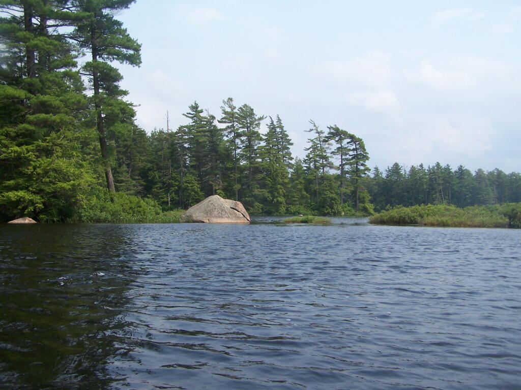
In a Calmer Bay of Francis Lake
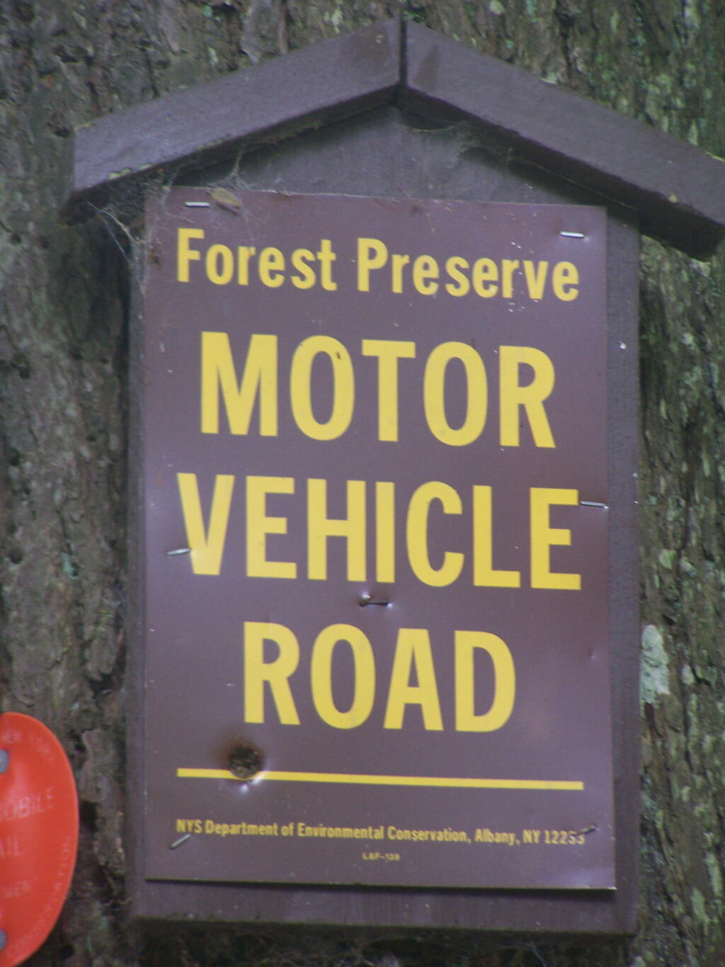
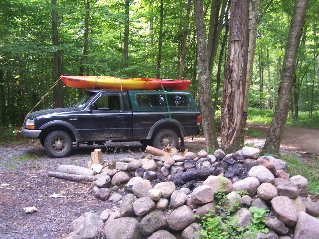
Motor Vehicle Road
That's the official name for a truck trail in the forest preserve.
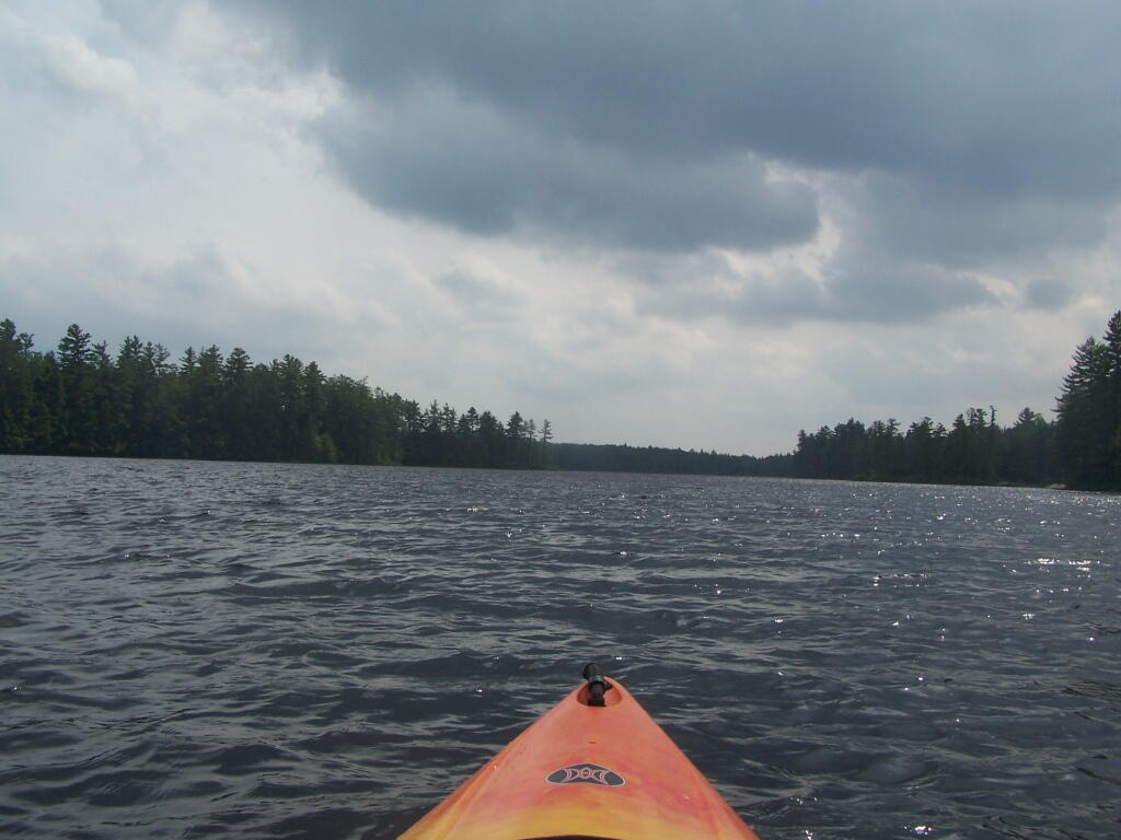
Taken on Tuesday June 28, 2011 at Smith Road.Water is Bit Choppy on Francis Lake
Fireplace at Basket Factory ADA Campsite
It was really nice campsite.
Taken on Tuesday June 28, 2011 at Independence River.Stillwater Reservoir Camping 🚤 ⛺
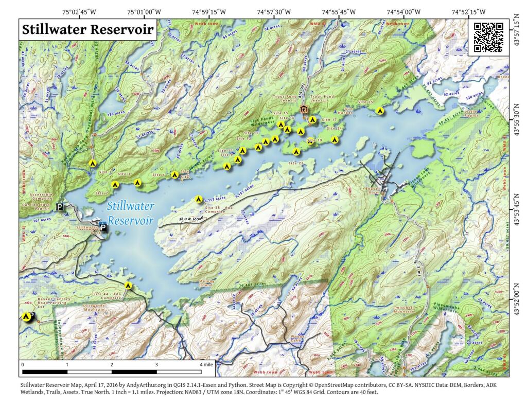
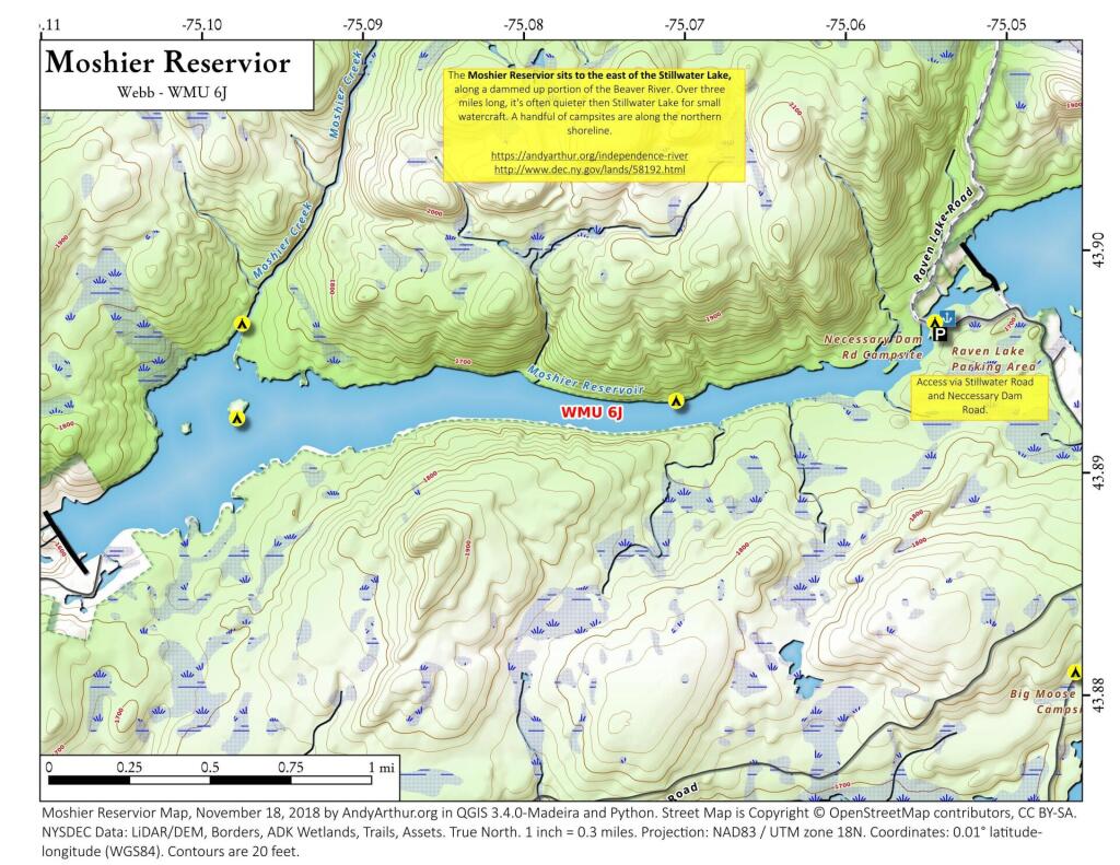
There are 46 designated campsites along the Stillwater Reservoir, along with a handful nearby or on the Moshier Reservoir.
Here are some useful maps.
Here is a list of coordinates for campsites along Stillwater Reservoir in the Western Adirondacks. You can also get this list as a Google Sheet.
| Name | Description | Coordinates |
| Big Moose Rd Campsite | 43.881036000325466,-75.0457000003833 | |
| Campsite 1 | Kettle Hole | 43.91087179257541,-75.03968430112016 |
| Campsite 2 | The Lagoon | 43.903977097671124,-75.02963748636475 |
| Campsite 3 | Evergreen Landing | 43.904584325331804,-75.01959543839234 |
| Campsite 4 | Peaked Mountain Outlet | 43.907127245272704,-75.00285831980182 |
| Campsite 5 | 43.90586912218538,-75.00090074522005 | |
| Campsite 6 | 43.90632154558408,-74.99552556384639 | |
| Campsite 7 | 43.90000491925868,-74.98240129784713 | |
| Campsite 8 | 43.91144696964229,-74.98463094251615 | |
| Campsite 9 | North Shore | 43.909908730517515,-74.97942422010028 |
| Campsite 10 | Island 26 | 43.910994330529824,-74.97320721157439 |
| Campsite 11 | Halstead’s | 43.91498978397045,-74.97239159382124 |
| Campsite 12 | Popple Point | 43.916076986426134,-74.96536010029281 |
| Campsite 13 | Rockwell Point | 43.917891111444156,-74.96201085648185 |
| Campsite 14 | Shallow Cut | 43.91873673325241,-74.95782501995895 |
| Campsite 15 | Smokey Bear Stump | 43.92345520446557,-74.95514287625957 |
| Campsite 16 | Hemlock Knoll | 43.921880882369145,-74.95229790374844 |
| Campsite 17 | Island 33 | 43.92502189140718,-74.94091017327614 |
| Campsite 18 | Deer Bay | 43.918124779071036,-74.94208887334926 |
| Campsite 19 | High Knoll-Big Burn | 43.92115213629026,-74.94627140472733 |
| Campsite 20 | 43.90927978682487,-74.9581893230617 | |
| Campsite 21 | 43.915417305379634,-74.9545671476461 | |
| Campsite 22 | North Shore Narrows | 43.91461838150145,-74.94828609091334 |
| Campsite 23 | 43.91633713940584,-74.93845492700764 | |
| Campsite 24 | Gun Harbor Entrance | 43.918481681184815,-74.93103937885131 |
| Campsite 25 | North Branch | 43.92790650092124,-74.91060106938106 |
| Campsite 26 | 43.92959998697331,-74.88667838335716 | |
| Campsite 27 | 43.91155768485678,-74.93308267712807 | |
| Campsite 28 | 43.90518884876708,-74.94691378360277 | |
| Campsite 29 | 43.91148146764025,-74.95521214716841 | |
| Campsite 30 | 43.91034098059357,-74.9635958834694 | |
| Campsite 31 | 43.90879791400817,-74.96557386780817 | |
| Campsite 32 | 43.90496833871764,-74.96921360218568 | |
| Campsite 33 | 43.904397767716866,-74.97387937552598 | |
| Campsite 34 | 43.90274084237983,-74.97925711300107 | |
| Campsite 36 | 43.89899916062253,-74.99891669724019 | |
| Campsite 37 | 43.89685381848027,-75.00321613580694 | |
| Campsite 38 | 43.89370907873536,-75.00748530304966 | |
| Campsite 39 | 43.86994406600552,-74.9935282362608 | |
| Campsite 40 | 43.87272579149077,-74.98622252146845 | |
| Campsite 41 | 43.86392185993403,-75.00139684952404 | |
| Campsite 42 | 43.86483657785204,-75.00400465044677 | |
| Campsite 43 | 43.869009072028994,-75.0169657056145 | |
| Campsite 45 | 43.87678296342001,-75.02613648057141 | |
| Campsite 46 | 43.87803900307188,-75.03301360072118 | |
| Primitive Campsite | 43.9275239999265,-74.94542999990668 | |
| Primitive Campsite | 43.91166670228568,-75.00473046595764 | |
| Primitive Campsite | 43.89242065053876,-75.09779773207337 | |
| Primitive Campsite | 43.893221999577904,-75.0705230000813 | |
| Primitive Campsite | 43.89667064569648,-75.09749340678908 |
Big Otter Lake
Remote Adirondack Lake at the end of a rough Jeep Trail in the Western Adirondacks.
