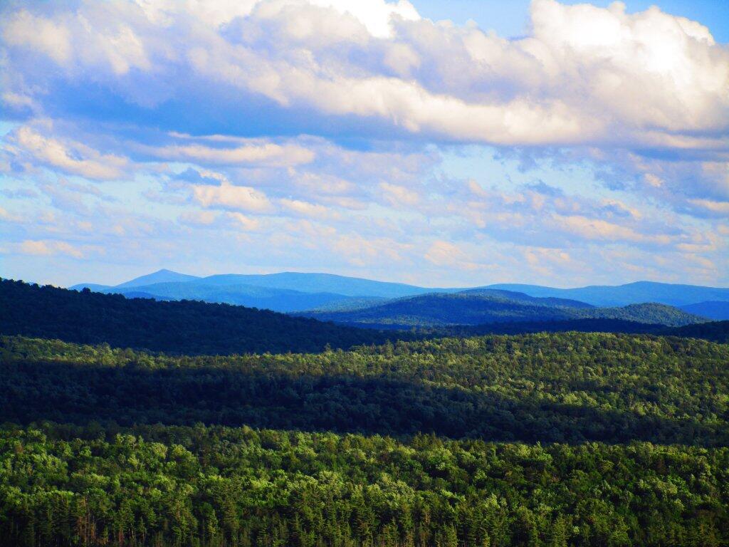
Located mostly on the southern shores of Tupper Lake, Horseshoe Lake Wild Forest is popular for those adventurers looking to escape the crowds of Tupper Lake. There are six primitive camping spots available along Horseshoe Lake, with a few others away from the lake. The wild forest also has access of Lows Lake & Hitchins Pond Primitive Area for those looking to explore the area. The Bog River is a very popular destination, however the most popular hiking destination is the fire tower on Mount Arab.
I was not happy to find this pile of garbage mixed in with the ashes from a fire that somebody had built down at Horseshoe Lake. I got on my gloves, picked up the litter, tossed it in my trash bucket and it got burnt with the rest of camp trash the next day. I wish people weren't such litter bugs.
Two years ago tonight, was the day after Primary Day 2020, and I was camping up at Horseshoe Lake, doing remote work during the pandemic, and decided to do a hike up Lows Ledge on the night before my 3-night stay limit expired and I had to move on to a different campsite. It was a nice, still night where I met not a single person on the trail, and it was clear and crisp weather with wonderful views of the lands below.
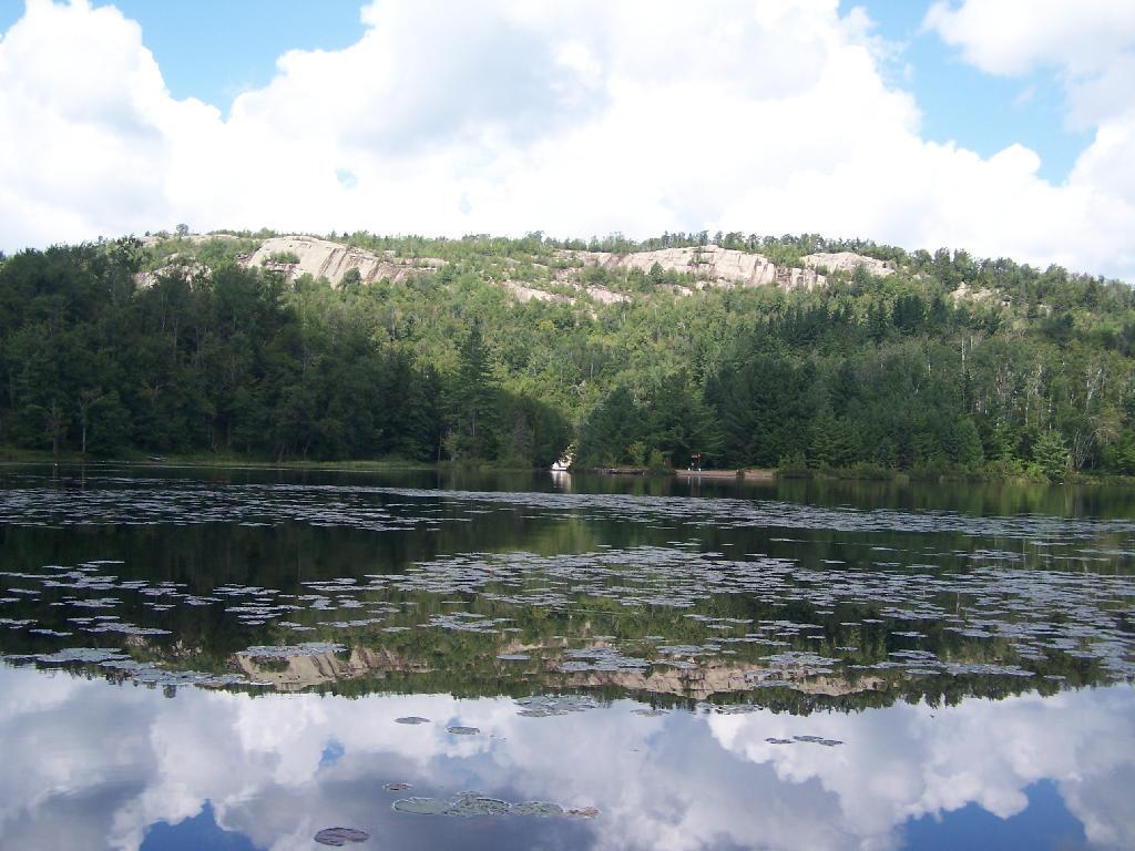
Explore this page for comprehensive maps and campsite listings along the stunning Bog River Flow, also referred to as Lows and Hitchens Pond, nestled in the Adirondacks. Equipped with coordinates and interactive maps, this valuable resource aids in locating free camping spots within this scenic region. Discover more about the Lows Lake area, adjacent to Horsehoe Pond, situated off NY 3 and NY 421, approximately ten miles south of Tupper Lake.
Interactive map of campsites along Bog River Flow.
Here is a downloadable map.
Here is a list of the campsites in the Bog River Flow – Hitchens Pond and Lows Lake. You can download this on Google Sheets.
Name
Notes
coord
Big Deer Pond Campsite
Campsite 2 on Oswegatchie River Canoe Carry
44.07066499203909,-74.83562688410296
Bog Lake Campsite
Campsite on knoll under hemlocks. No obvious privy
44.04597400340542,-74.76877997265527
Bog River Primitive Campsite 1
Designated campsite
44.11498202693457,-74.62835933121629
Bog River Primitive Campsite 2
Designated campsite
44.112697282644255,-74.63814827173313
Bog River Primitive Campsite 3
Designated campsite
44.11709452942677,-74.6416450967812
Bog River Primitive Campsite 4
Designated campsite. With short privy
44.11703559376099,-74.66030250230646
Bog River Primitive Campsite 5
Designated campsite. With short privy
44.11438984664461,-74.66461339832713
Bog River Primitive Campsite 6
Designated campsite with pit privy. Full sized privy
44.11147789052526,-74.66585509269002
Bog River Primitive Campsite 7
Designated campsite. With short privy
44.11022932303285,-74.66826136834727
Bog River Primitive Campsite 8
Designated campsite. With short privy
44.10742088225655,-74.6691164912543
Bog River Primitive Campsite 9
Designated campsite. With short privy
44.10503371724627,-74.67884988872132
Bog River Primitive Campsite 10
Designated campsite with pit privy. Full sized privy
44.10140804214472,-74.69038422222768
Bog River Primitive Campsite 11
Designated campsite. With short privy
44.099078711392714,-74.6930712072797
Bog River Primitive Campsite 12
Designated campsite. With short privy
44.0978314008462,-74.69999139028391
Boone’s Landing Primitive Campsite
Deisgnated campsite with short privy. Checked 04/2016.
44.07626703407614,-74.77451394551568
Clear Pond Campsite
Primitive campsite with short privy
44.04310127384352,-74.76343793716421
Grass Pond Primitive Campsite 31
Designated campsite with pit privy
44.092147034884384,-74.79863219015742
Lows Lake Primitive Campsite 13
Designated campsite. Poor condition and overused. With short privy.
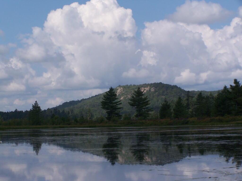
Here is Lows Ledge reflecting into Hitchins Pond. It's much larger in person then it appears in this picture, unless you have a very big computer monitor.