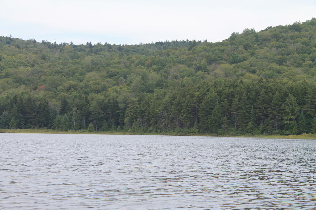
G Lake Road is a remote dirt road in fairly good maintenance that takes you with a quarter mile of G Lake. From they're you'll have to portage a kayak. There also is roadside camping but watch out for poison ivy at some of the campsites.
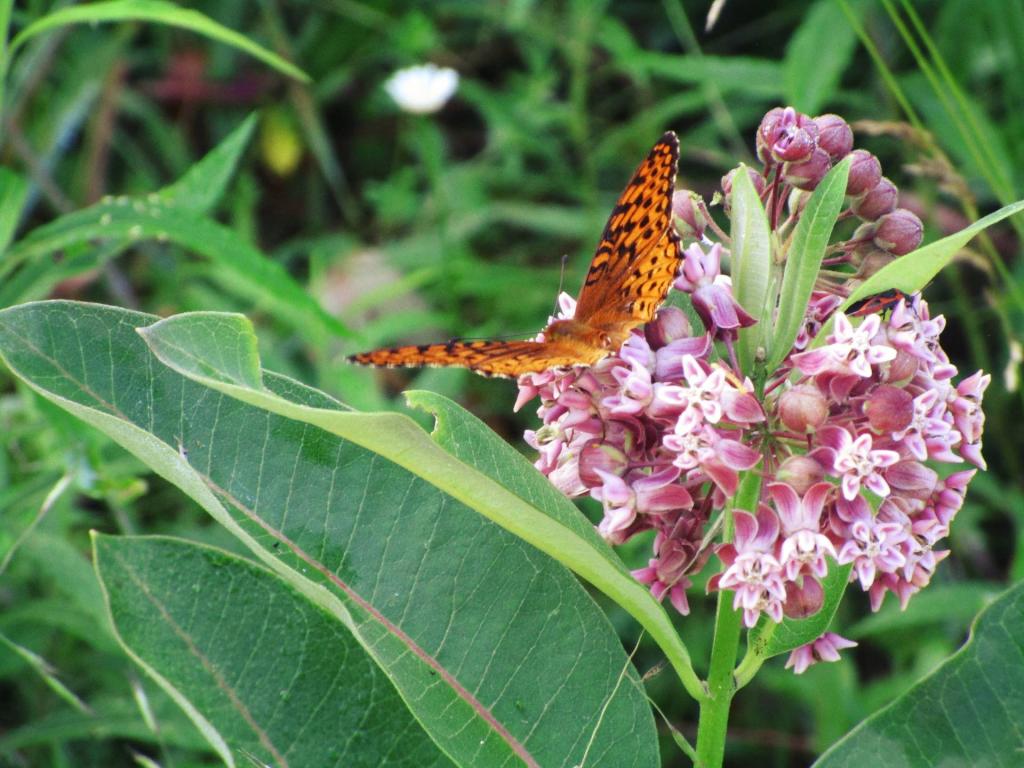
Butterfly enjoying some of the milkweed found along the roadside at Powley Place.
Taken on Sunday July 7, 2024 at Piseco-Powley Road.
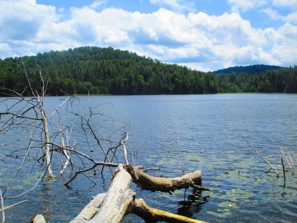
As you can see, Ferris Lake is not super easy to access via foot. The East Canada Creek is mucky and difficult to cross without a kayak or cane. The forest is somewhat thick, and you have to climb up and over the ridge to get to Ferris Lake.
For a long time I've wanted to hike back to Ferris Lake but it's not the easiest hike ever as you have to either cross the East Canada Creek or Black Cat Creek, both of which are muddy and difficult to wade across -- I got up to my knees in mud trying to cross the north fork of the East Canada Creek behind Campsite 12. Ended up putting in my kayak under Powley Bridge, and paddling to Franks Pond Outlet, bushwhacking on the ridge around Franks Pond and then heading down the hill to Ferris Lake. It's less then a mile from Piseco-Powley Road but the terrian makes it challenging if not impossible to access Ferris Lake without a canoe or kayak to get across what seems like a relatively small creek.
Taken on Saturday July 6, 2024 at Ferris Lake Wild Forest.


