Essex County
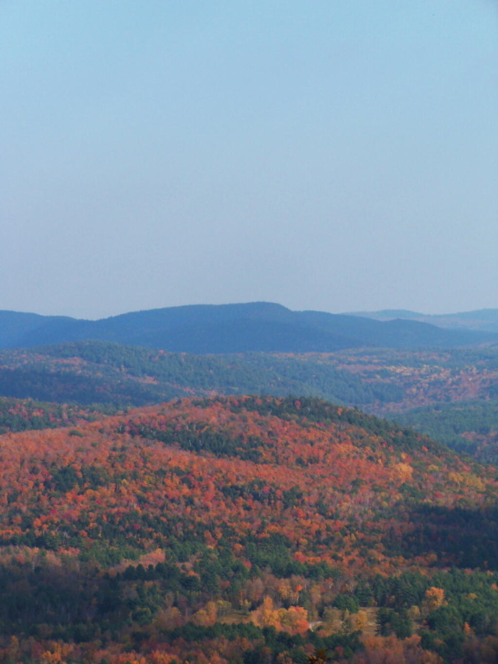
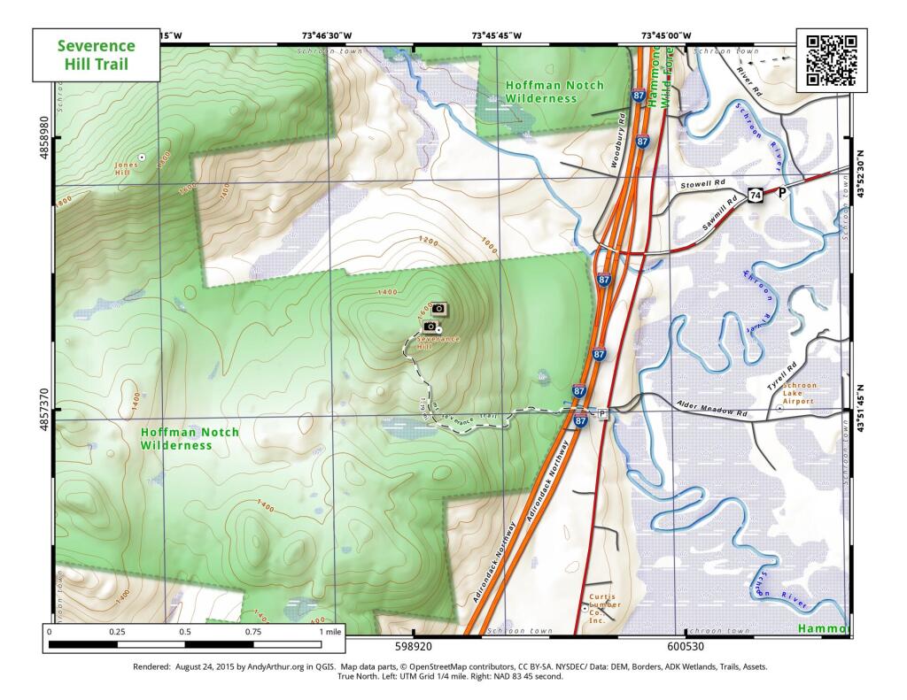
Severence Hill Trail
Stoney Pond Trail (29th Pond)
5.9-mile out-and-back trail near Minerva, New York from the 29th Pond Parking Area in the Vanderwhacker Wild Forest on NY 28N.
Wolf Pond Trail
The Wolf Pond extends 2.3 miles feet from the trailhead to the outlet of Wolf Pond on the southern shore. This new trail is gently rolling and easy to navigate trail. A new lean-to is located up a short spur trail on the
southwestern shore of the pond. Wolf Pond provides scenic views of the High Peaks and surrounding mountains, as well as excellent fishing opportunities. The 59-acre pond is home to native strain stocked brook trout.
DEC Map can be found here: https://www.dec.ny.gov/docs/lands_forests_pdf/wolfpondhikingmap.pdf
Moose Island in Lake Placid
This interactive map shows Moose Island in Lake Placid along with Lean-Tos and Picnic Area.
Moose Island Lean-Tos (northeast): 44.33241, -73.95656
Moose Island Picnic Area (southwest): 44.32301, -73.98156
Note: Most of the southern shore of this island is developed, private cabins and properties.
Crown Point
Crown Point jets up into Lake Champlain, where it is crossed by the Crown Point / Champlain Bridge to Vermont.


