Essex County
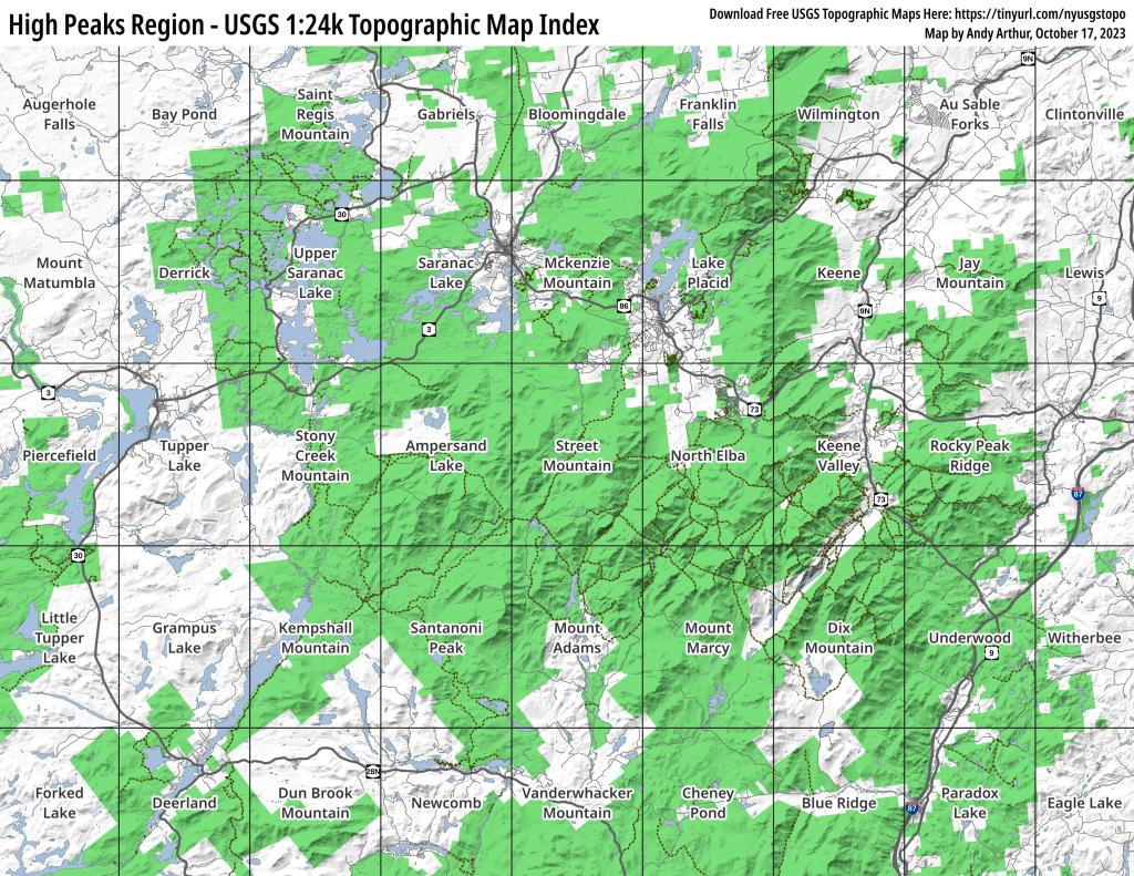
High Peaks Region – USGS 1:24k Topographic Map Index
This map provides a handy, printable index of all USGS 1:24k Topographic Maps in the High Peaks region.
Download Free USGS Topographic Maps Here: https://tinyurl.com/nyusgstopo
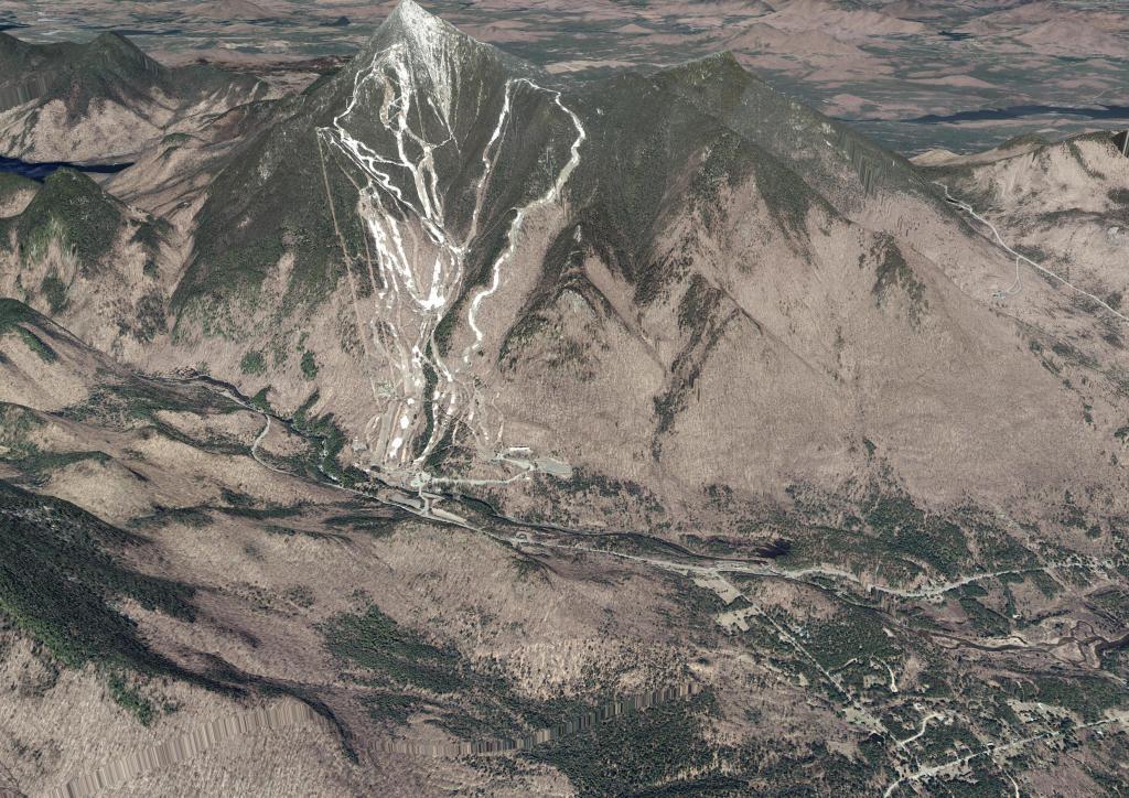
Whiteface Mountain
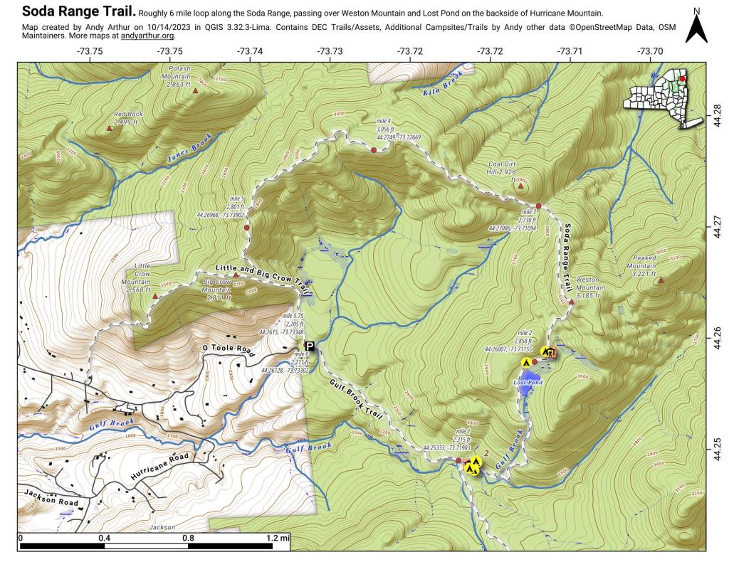
Soda Range Trail
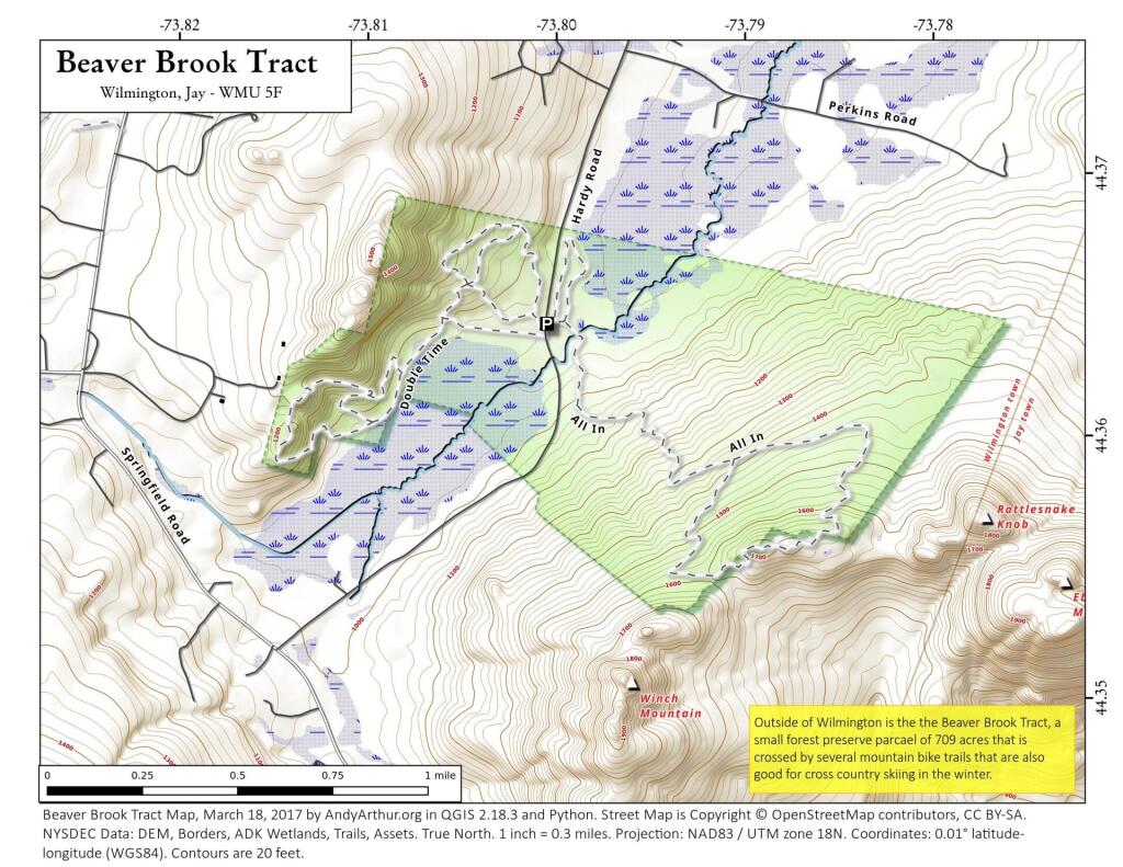
Beaver Brook Tract
Land Use, Crown Point Area
West of Port Henry most of the land is forested but east of it, a lot of hay and field crops such as corn, soy and wheat are grown to feed dairy cattle.
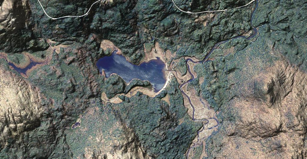
Cheney Pond
This is a beautiful aerial photo super-imposed on the LiDAR hillshade to show the area with detail as you might see it from an airplane in late winter.
You can drive down to Cheney Pond via an unmarked road along Boreas Road, on top of a hill with a pull-off. The road is somewhat rutted but there is a drive-in campsite at the bottom of the road. From there, you can paddle across Cheney Pond and follow a narrow but navigable stream down to Lester Flow, which is little more then a still water in the Boreas River. At one time, Lester Flow was a all flooded but the dam is long gone, just leaving the still water.
![Hurricane Mountain Trail [Expires October 29 2023]](https://andyarthur.org//data/photo_009230_large.jpg)
