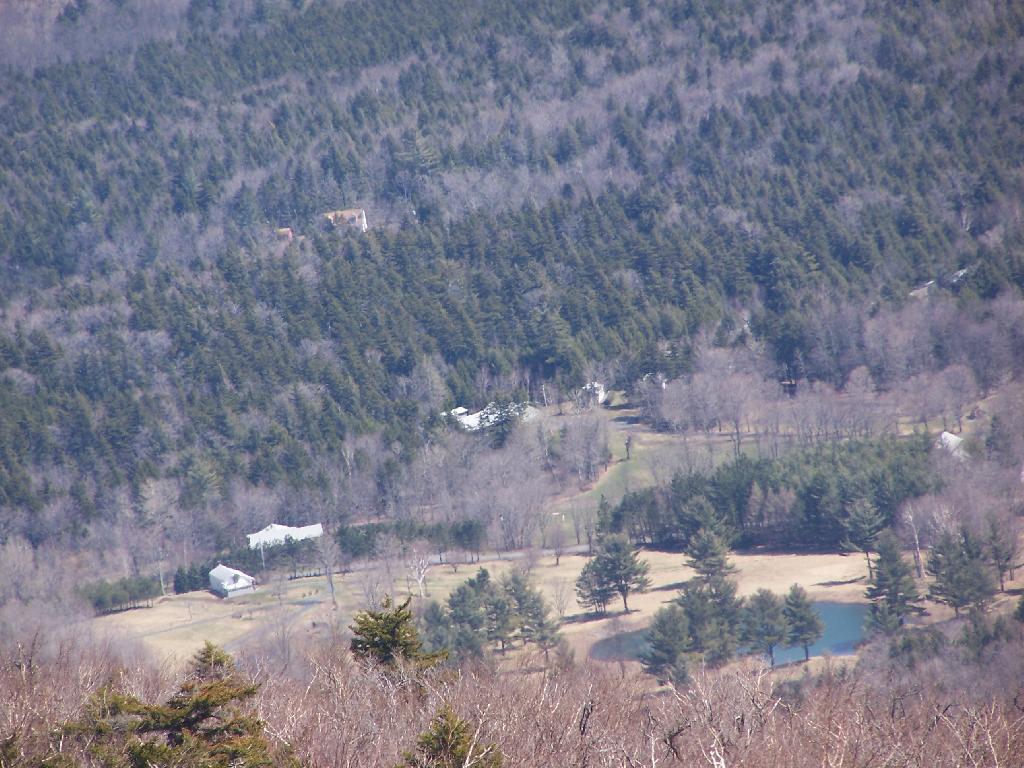
Ranger Station taken from the Hunter Mountain Firetower. It's totally boarded up. No camping is allowed up top of mountain, because over 3500. The tower is at about 4000 feet, the peak is 4040 elevation.
Taken on Sunday April 12, 2009 at Hunter Mountain.
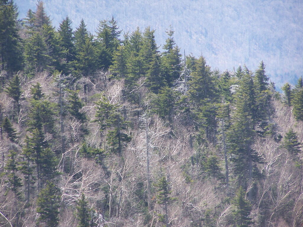
This forest looks like it's just a tinderbox waiting to burn, until it greens up. Taken from Plateau Mountain on Easter Sunday.
Taken on Sunday April 12, 2009 at Plateau Mountain.
On Plateau Mountain the blue trail splits off. My old map says the blue trail should run through Mink Hollow; it appears the trail has been moved with the new signs.
Taken on Sunday April 12, 2009 at Plateau Mountain.
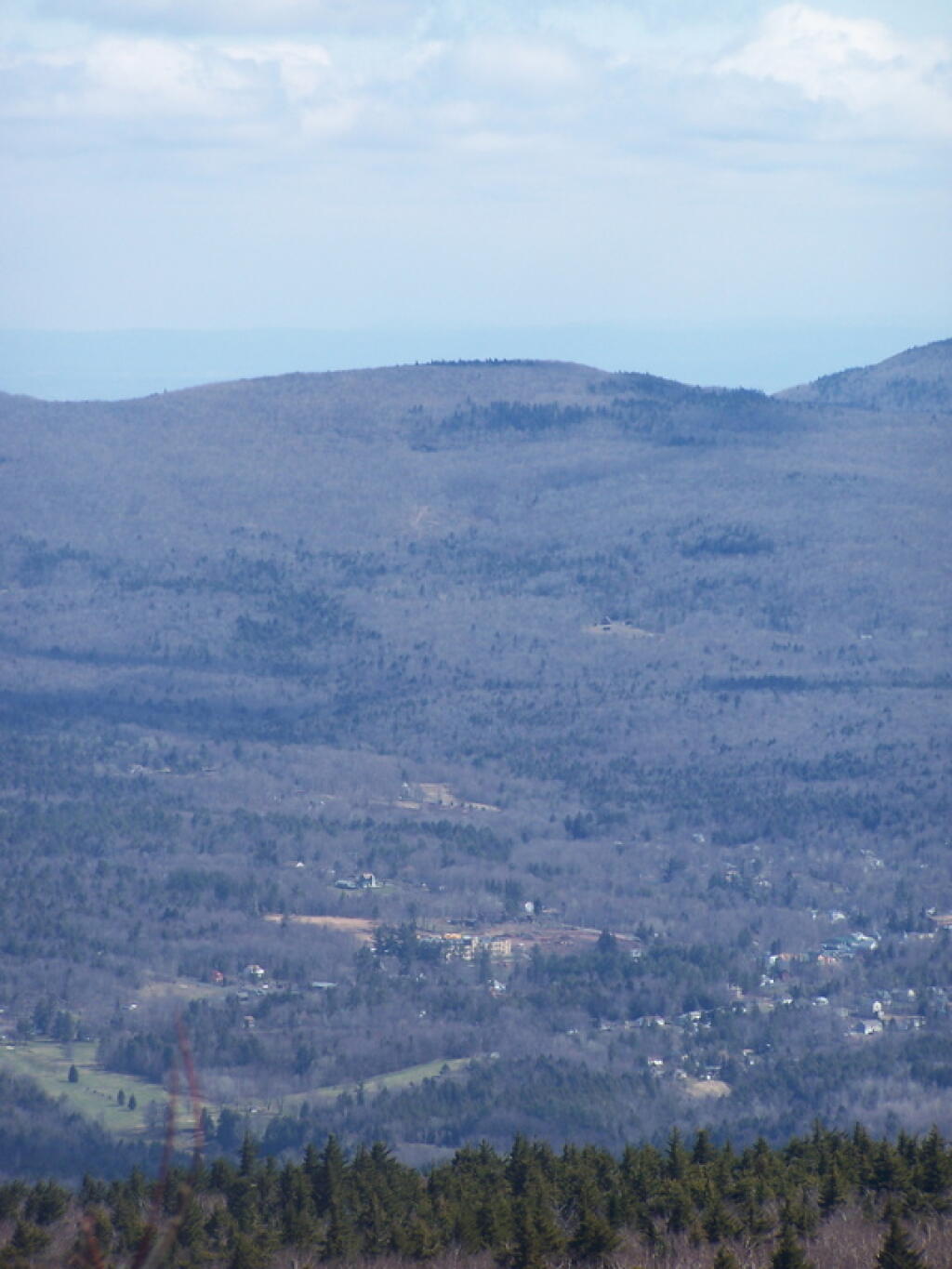
This is downtown Tannersville looking off from Plateau Mountain from Danny's Lookout.
Taken on Sunday April 12, 2009 at Plateau Mountain.
The Catskills make kind of a rim around Tannersville. This picture shows the town and the surrounding mountains.
Taken on Sunday April 12, 2009 at Plateau Mountain.
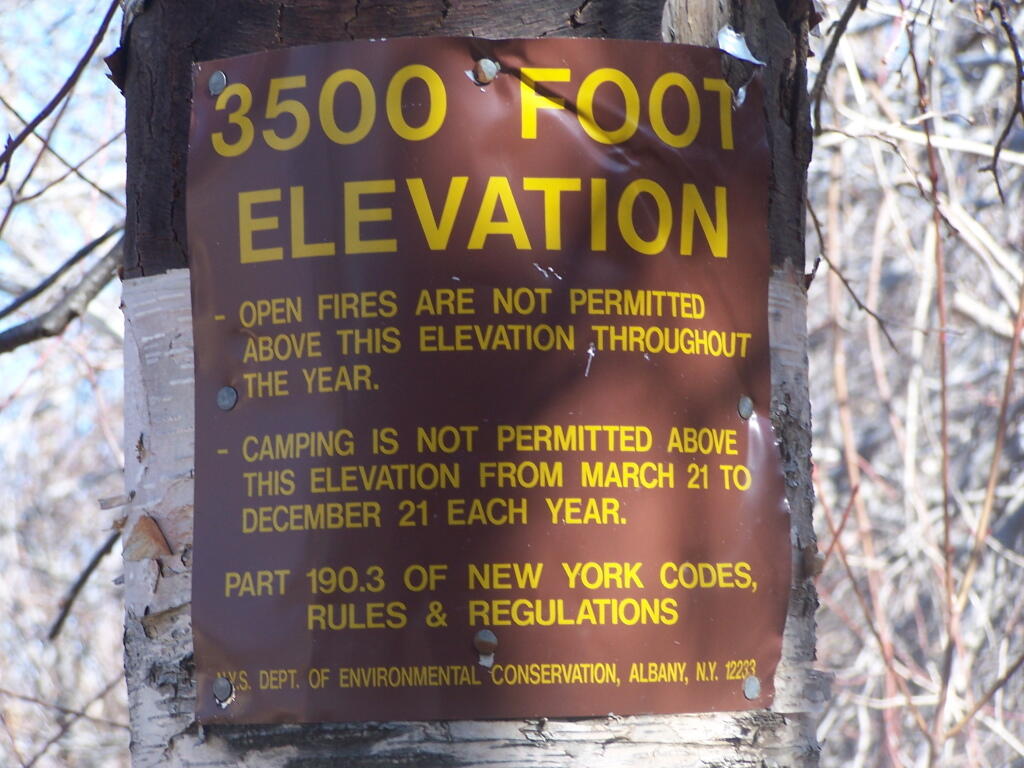
The DEC has a series of regulations prohibiting camping, that's why they clearly tell you have reached 3,500 feet. This is the second sign I saw climbing Plateau Mountain. The older one was farther down the trail, which makes me think it was put up in the pre-GPS era and the forest ranger put it too low.
Taken on Sunday April 12, 2009 at Plateau Mountain.


