Debar Mountain Wild Forest
Evening
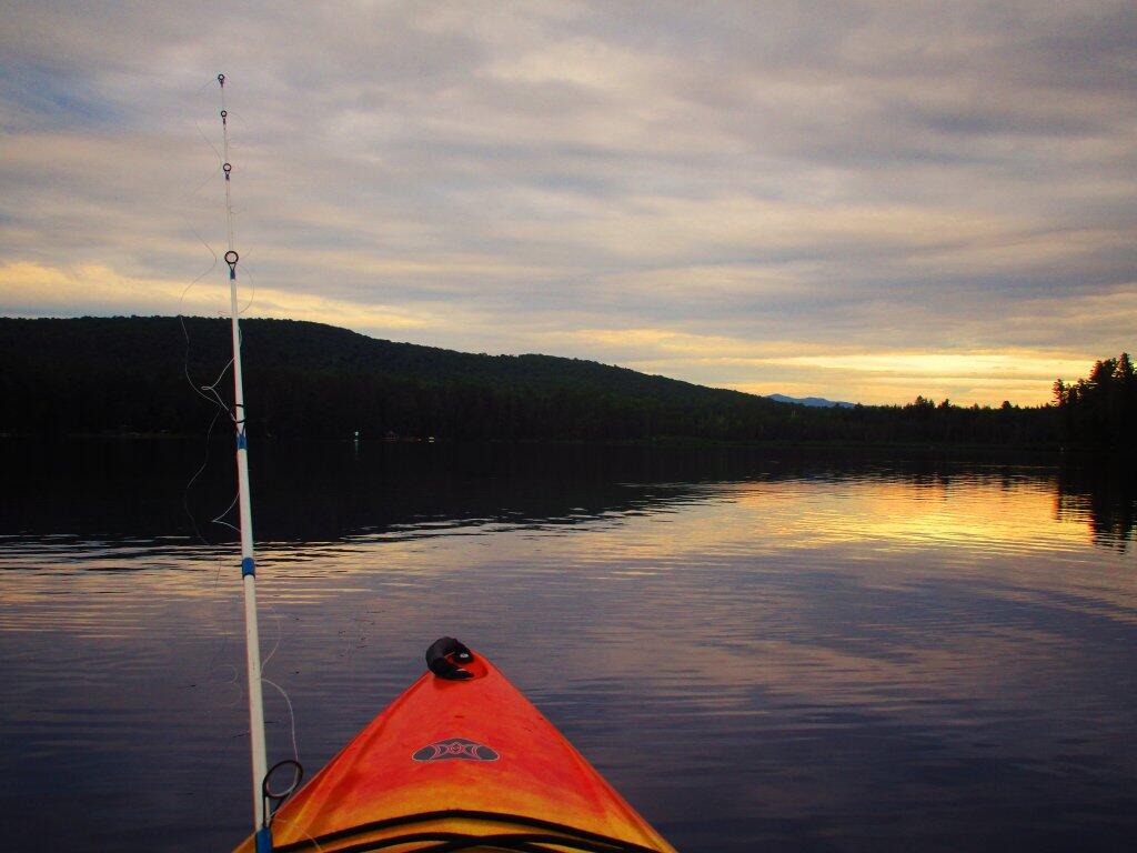
It definately was a pretty evening on Friday night paddling out on the lake.
Taken on Friday June 26, 2020 at Jones Pond.South
Looking south at the monutains along Jones Pond.
Looking south from Jones Pond at the mountains around Saranac Lake.
Debar Mountain Trail
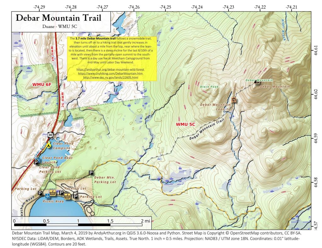
Debar Mountain Trail (3,305 feet) extends 3.7 miles and ascends 1,725 feet from the trailhead within Meacham Lake Campground to the summit of the mountain. The trail ascends only 170 feet in the first 1.9 miles and ascends 755 feet in the next 1.3 miles. The last portion of the trail is steep, climbing 800 feet in the 0.5 mile to the summit. A lean-to is located along the trail just before the last steep section to the summit. Views at the top are limited by the trees growing on the summit but include the High Peaks to the south. When the campground is open, hikers are required to pay a day-use fee.
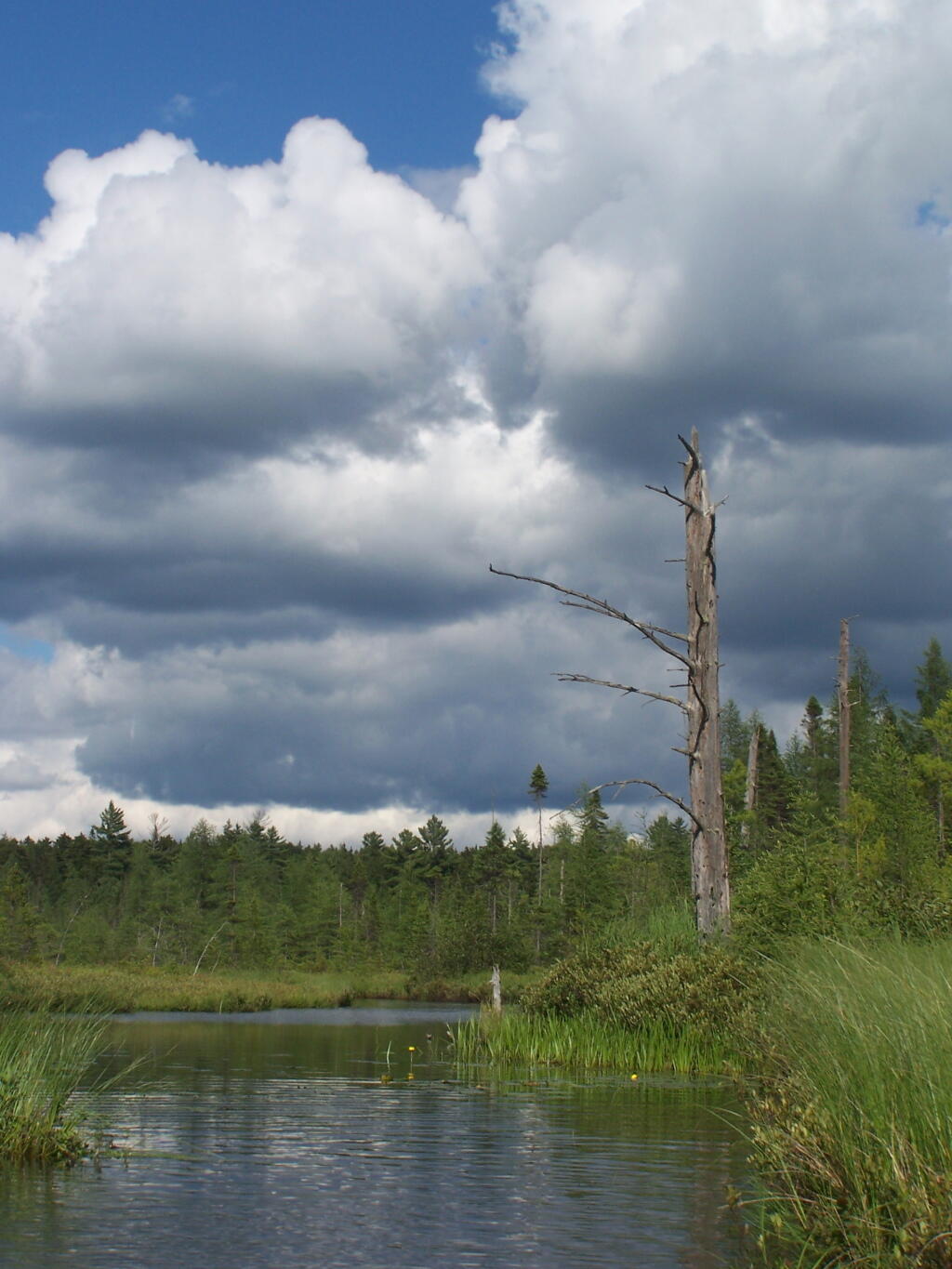
Clouds Over Barnum Pond Outlet
Mountain Pond
Negro Brook in Onchiota
In the news:
Negro Brook in Onchiota was recently renamed to the John Thomas Brook, for a 19th century Black settler.
https://www.adirondackexplorer.org/stories/john-thomas-brook-name-change
Paul Smith’s College professor Curt Stager led the effort for changing the name of Negro Brook. The source of John Thomas Brook is located near Kate Mountain in the town of Franklin. From there, it flows south to Twobridge Brook one mile northwest of Bloomingdale.
The new name pays homage to Thomas, who escaped slavery and started a farm near Bloomingdale. Stager filed the application with the U.S. Board of Geographical Names, which approved the proposal for John Thomas Brook at its April 13 meeting.
The application received letters of support from the town of Franklin, Franklin County, ADI, Historic Saranac Lake, Paul Smith’s College, Six Nations Iroquois Cultural Center, North Country Underground Railroad Historical Association and local residents.
Also of interest is this Adirondack Explorer article about exploring the Negro Brook, which is described as a flatwater in an area known as the "Oregon Plains" full of thickets, blowdown and rapids that make for difficult paddling despite being a relatively flat part of the Adirondacks.
https://www.adirondackexplorer.org/outtakes/negro-brook-thickets-blowdown-rapids
