Clinton County
West from Union Road
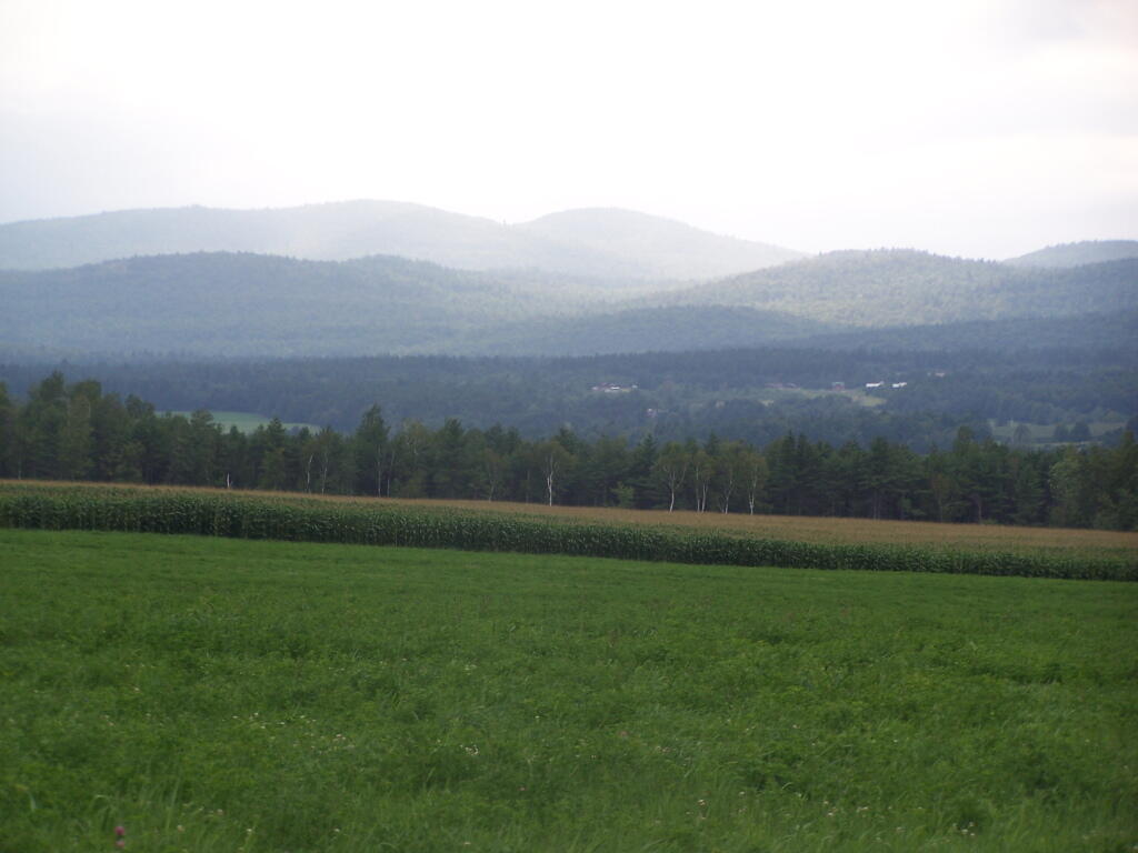
This is south of Peru on Union Road, home to many large dairies, apple farms, and other diverse agricultural, with it's wonderful high quality lands.
Taken on Sunday August 15, 2010 at Clinton County.Dead Creek
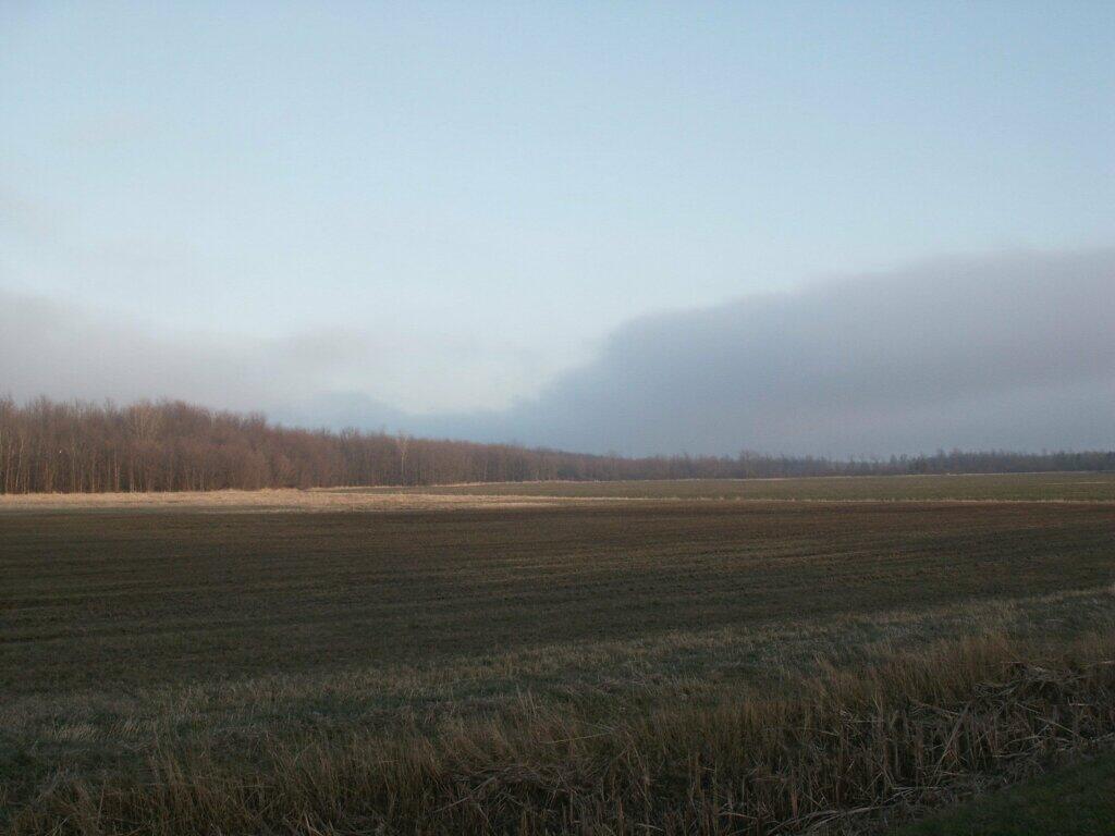
The Dead Creek is located to the north of the City of Plattsburgh and extends out from Lake Champlain under bridges where US 9 and Adirondack Northway runs to the fertile farmland of Beekmantown.
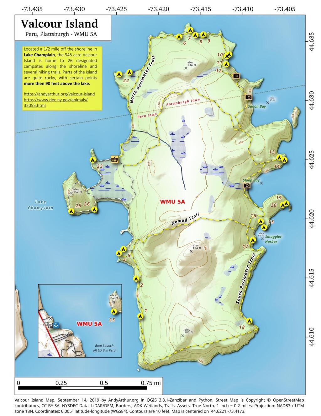
Valcour Island Campsite Coordinates and Maps
Valcour Island Campsite Coordinates and Maps
Valcour Island is a 968-acre island in Lake Champlain in Clinton County, NY. The island is mostly in the Town of Peru and partly in the Town of Plattsburgh, southeast of the City of Plattsburgh. It is within the boundaries of the Adirondack Park. On October 11, 1776, a naval engagement known as the Battle of Valcour Island between British and United States naval forces under Benedict Arnold was fought in the strait adjacent to the island. Valcour was the site of several farms and summer homes (and one short-lived utopian community, the Dawn Valcour Society) from the nineteenth century until the 1970s, when New York State completed its purchase of the island. The island is now within the Adirondack Park, and is managed by the New York State Department of Environmental Conservation as the “Valcour Island Primitive Area“.
| Campsite | Latitude | Longitude |
| Campsite 1 | 44.612046881793 | -73.42286639561 |
| Campsite 2 | 44.615222332331 | -73.423275059535 |
| Campsite 3 | 44.6253469112994 | -73.4281564842123 |
| Campsite 4 | 44.6173858889161 | -73.4252711688757 |
| Campsite 5 | 44.6177506875454 | -73.4247159815721 |
| Campsite 6 | 44.6356309436663 | -73.4176270547275 |
| Campsite 7 | 44.6361822556452 | -73.4162718794829 |
| Campsite 8 | 44.6357410636748 | -73.4156981847151 |
| Campsite 9 | 44.635776223568 | -73.414744449708 |
| Campsite 10 | 44.6340432204798 | -73.411717194633 |
| Campsite 11 | 44.6339079469408 | -73.4119822301329 |
| Campsite 12 | 44.6332129588725 | -73.4120886545713 |
| Campsite 13 | 44.6252304809332 | -73.4060010457772 |
| Campsite 14 | 44.6250339125795 | -73.4054067272836 |
| Campsite 15 | 44.6193516413756 | -73.4079994284824 |
| Campsite 16 | 44.619865406031 | -73.4083543141594 |
| Campsite 17 | 44.6183002950397 | -73.4093395585105 |
| Campsite 18 | 44.6114734031153 | -73.409943357957 |
| Campsite 19 | 44.6213442634347 | -73.4052848744629 |
| Campsite 20 | 44.6212210367482 | -73.4056926555458 |
| Campsite 21 | 44.632697323584 | -73.4235976390277 |
| Campsite 22 | 44.6325578049828 | -73.424838344847 |
| Campsite 23 | 44.6253571111095 | -73.4281594618369 |
| Campsite 25 | 44.6210306272869 | -73.4308219163776 |
| Campsite 26 | 44.6211390582903 | -73.428074914075 |
More information on the DEC’s Lake Champlain Island Complex webpage.
Plattsburgh – December 3, 2021
Sentinel 2 imagery.
Farm Field Along Lake Shore Road
Paying My Respects to the Lake Champlain Bridge
Notes on the Re-Run for Thursday, December 22nd.
It was almost two years ago when they blew up the old Lake Champlain Bridge…
— Andy
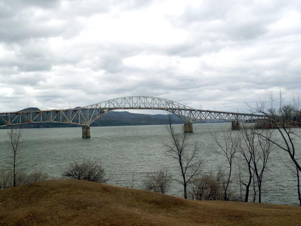
Yesterday, I drove up to Chimney Point, in Vermont outside of Addison to witness the sad but historic passing of the Champlain Bridge. The massive 80-year old span was imploded into the frozen lake, after two piers where discovered badly damaged, and was determined to be likely to fail catastrophically without a controlled demolition.
It is sad to see such a historic landmark go. Nobody really wanted to see such a landmark go up into a pile of rubble. As I stood there on Chimney Point, I stood next to many farmers and other local residents who had been alongside of and over the Champlain Bridge thousands of times. It’s such a big landmark, that stands out over the landscape, with it’s arches reaching 130 feet above the flat landscape around. Pictures simply don’t do justice. Many had grown up seeing it’s majestic spans and beautiful archways, and just assumed it would always be there. Some of the oldest residents might even remember back 80-years ago to 1929, when the bridge was under construction.
It was truly a community event. I swear every person from the very rural Addison County, VT and surrounding areas had to have been there. I don’t think I’ve ever seen so many pickup trucks with dairy-farming related bumper stickers, men and children with muck boots on, Carharts and seed-hats. It was such an amazing group of people, with such a complicated mix of emotions about the demolition of the bridge. People where sad to see it go, but also hopeful for the new bridge. Some where cynical that something ever as great could be built again.
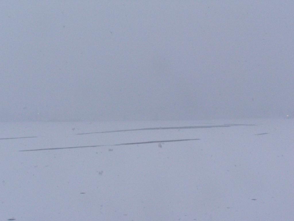
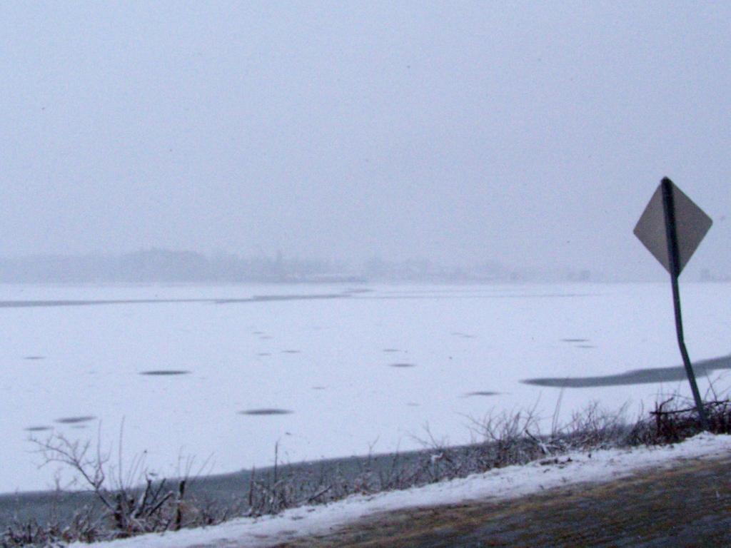
The wintry weather made the span almost invisible from the site about 3,000 feet away from the bridge where I was looking at. Chimney Point had probably the best viewpoint of the Champlain Bridge on a sunny day, your back would be to the sun, and with a back drop of the Adirondack Mountains. You could see the bridge fade in and out like a ghost as the snow squalls blew out and blew in. What you could see was so massive, so beautiful. Yet eerie, because all that was left was the lightest silhouette of the old bridge. The silhouette was so light, that it was hidden from the camera.
Then there was the loud bang, right at ten in the morning — a thunderous roar lasting less then a second or two, that shook the ground and sent ice soaring a foot into the air on Lake Champlain, even as far away as we where. The energy wave forced upon the lake and the surrounding landscape shook the parked cars so hard that it set off car alarms. It was not like listening to a firecracker going off, but more like a wave of energy coming at you. In the wintry blizzard-like weather, you barely saw the bridge fall, but it was still the most remarkable feeling at you felt the thousands of tons of steel and concrete hit the waters of Lake Champlain.
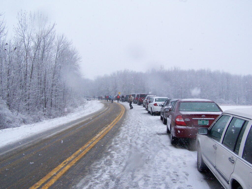
Vermont 127 and Vermont 17 where one way during the day to allow for parking, so leaving everyone had to drive by the fallen bridge. The once majestic bridge was little more then just a pile of rubble sticking up from the frozen lake in a wintry fury of the snow. I looked like something out of a war photograph, although it was much bigger and much more realistic. It was a bit scary that we as a society could convert such a massive and beautiful structure to just a pile of rubble.
On the 400th Anniversary of Samuel de Champlain’s discovery of Lake Champlain and the fertile plains that surround it, it’s sad to see such a man-made landmark go. Yet, it’s also a reminder of how man made landmarks come and go, and only natural wonders like the mountains and the lake remain. While people since 1929 have looked out across the lake at Chimney Point at the engineering marvel of Champlain Bridge, much of the rest of the landscape remains unchanged since the day Samuel de Champlain first made his voyage in 1609.
A new bridge will replace the first Lake Champlain bridge, and service the automobile, truck, pedestrian, and bicycle needs of the 21st century, but it will be little more then an impermanent landmark that must someday fall and be destroyed like the first Lake Champlain Bridge. Nobody can foresee the demolition of the new bridge, in some future century, but it will ultimately be gone just like the first bridge is now gone.
(this picture taken just north of the bridge was taken in March 2006).
Blue – Bridge
Yellow – My View
Green – Where I Parked
View Champlain Bridge Demo in a larger map
